Install
American Canyon, CA Weather
Current conditions
Forecast for this hour (no station report in the last two hours)
Forecast
10-day-
Saturday Night
Mostly clear, with a low around 46.
-
Sunday
Sunny, with a high near 72.
-
Sunday Night
Partly cloudy, with a low around 48.
National Weather Service forecast updated 4 days ago.
Hourly
Hourly forecast- Now52°
- 3 AM51°
- 4 AM49°
- 5 AM48°
- 6 AM47°
- 7 AM46°
- 8 AM46°
- 9 AM51°
- 10 AM56°
- 11 AM62°
- 12 PM65°
- 1 PM68°
- 2 PM70°
- 3 PM71°
- 4 PM72°
- 5 PM72°
- 6 PM70°
- 7 PM67°
- 8 PM64°
- 9 PM61°
- 10 PM59°
- 11 PM57°
- Mon12 AM55°
- 1 AM54°
10-day forecast
Details- TonightOct 20Mostly Cloudy52°
- WedOct 21Mostly Cloudy then Chance Rain Showers39%52°68°
- ThuOct 22Chance Rain Showers37%49°64°
- FriOct 23Patchy Fog then Mostly Sunny46°70°
- SatOct 24Sunny46°71°
- TodayOct 25Sunny48°72°
- MonOct 26Mostly Sunny48°71°
- TueOct 27Mostly Sunny71°
- WedOct 28Cloudy48°62°
- ThuOct 29Cloudy46°65°
Days after the National Weather Service's seven are MET Norway's outlook, a computer model with no forecaster's review.
Radar
Full mapWeather news near American Canyon
More weather news-
 Bay Area could see its most rain since May. Here's how much to expect
The Bay Area will soon see its first legitimate rain chance of the season, but the window for wet weather is trending later and weaker than previously indicated. Rain is not expected to begin until Wednesday morning at…
-
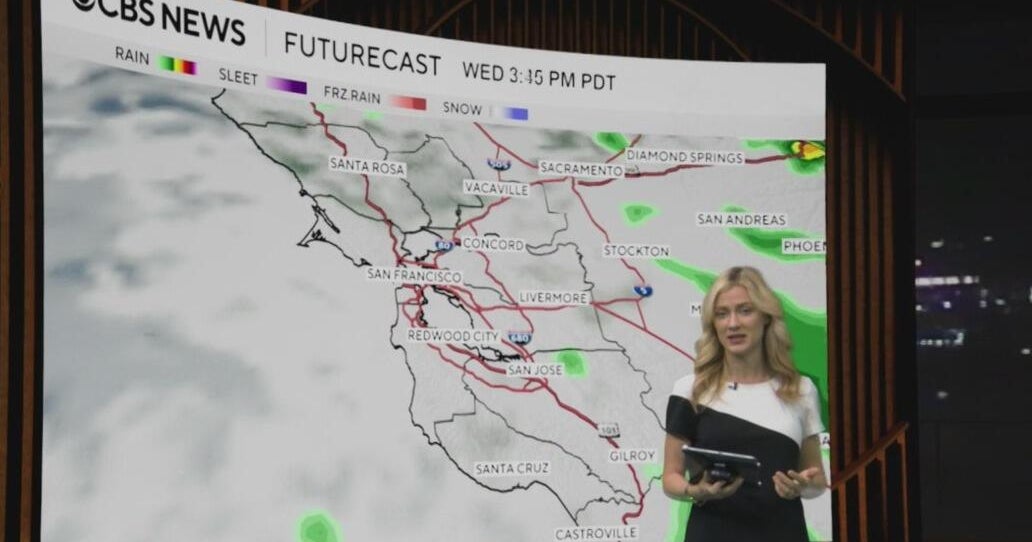 Tuesday morning First Alert weather forecast with Jessica Burch - 10/20/26
CBS News Bay Area is a local news organization that is part of CBS News and Stations. Also referred to as KPIX-TV and channel 5, CBS News Bay Area offers local breaking news, weather coverage and investigative…
-
 Metro Detroit weather forecast, Oct. 20, 2026 -- 4 p.m. Update
ClickOnDetroit | WDIV Local 4 Metro Detroit weather forecast, Oct. 20, 2026 -- 4 p.m. Update Go 4 It: Dispose of unused medications safely at Detroit police 7th Precinct Local 4 News at 4 -- Oct. 20, 2026 Michigan U.S…
-
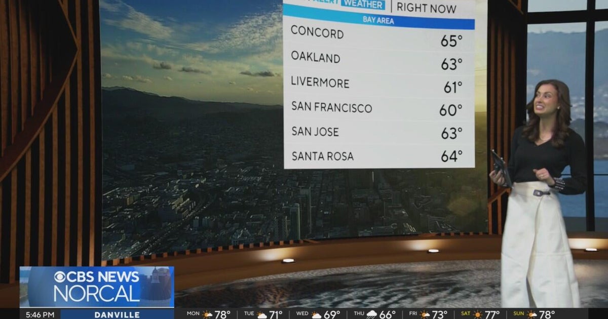 First Alert Weather Monday evening forecast 10-19-26
CBS News Bay Area is a local news organization that is part of CBS News and Stations. Also referred to as KPIX-TV and channel 5, CBS News Bay Area offers local breaking news, weather coverage and investigative…
-
 Sunshine and Mild Temperatures Continue Across Southeast Michigan
ClickOnDetroit | WDIV Local 4 Trader Joe’s is expanding nationwide, including new Metro Detroit store Sunshine and Mild Temperatures Continue Across Southeast Michigan Oakland County Little League umpire shared child…
-
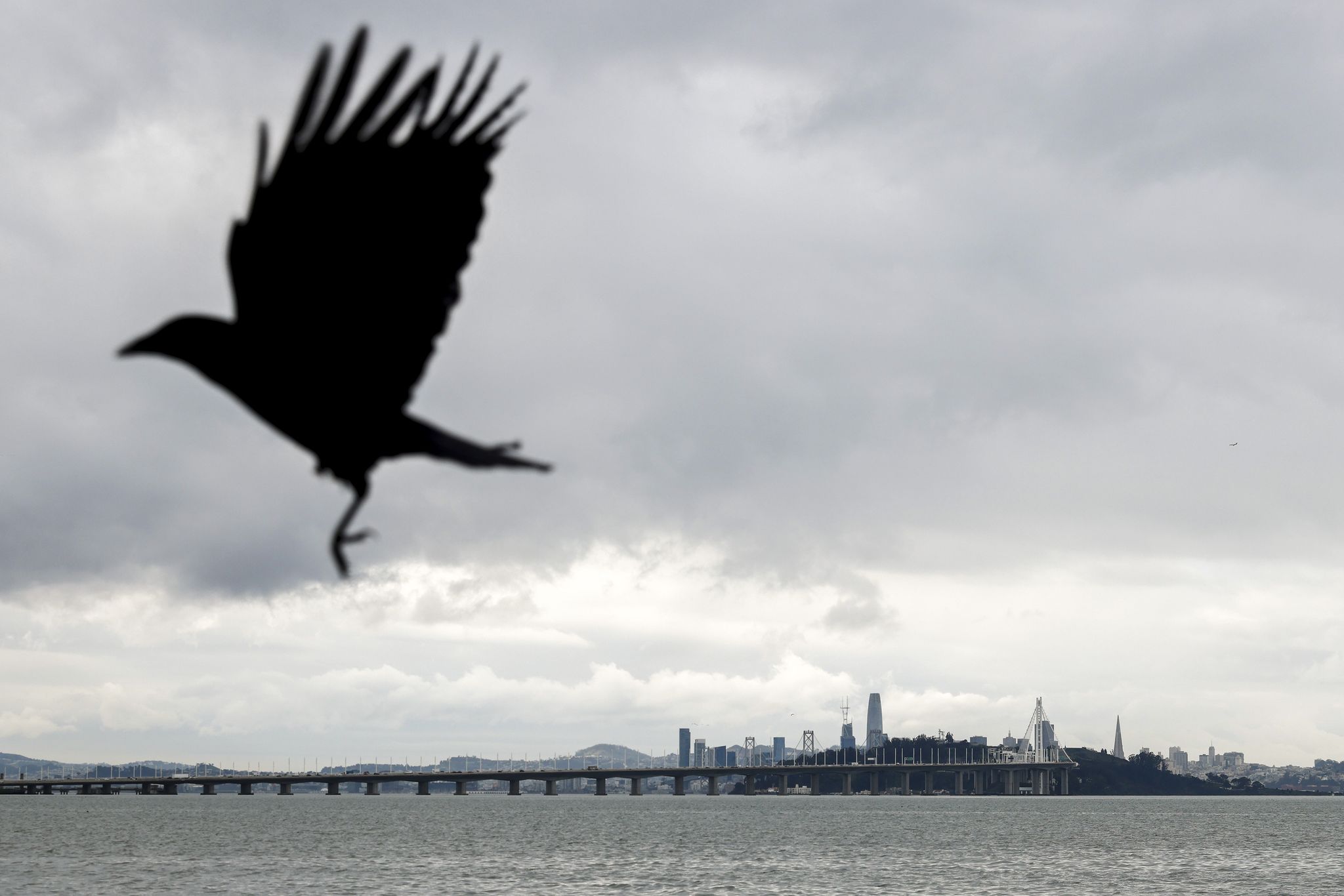 Bay Area weather: Rain showers expected midweek as fall-like temperatures return
Rain clouds loom over San Francisco as seen from the Emeryville waterfront last December. Rain and cooler temperatures are forecast this week after the recent heat and sunshine. Cooler temperatures and rain showers are…
-
 Clear & cold conditions, plus Freeze Warning tonight
(10/17/26) WPXI Manâs body pulled from Ohio River at Emsworth Locks and Dams Local Week In Review (10/17/26) Spirit Halloween hosts party for patients, families at UPMC Childrenâs Hospital Miller Steering Committee…
-
 Road Commissions Recommend Preparing for Winter Now
That nip in the air is fair warning of what is to come. As our area faces a freeze warning this weekend, it might be a good time to check an important part of your residence that will soon be under stress. County road…
-
 Much colder weekend with a widespread frost/freeze Sunday (10/16/26)
WPXI 10th annual free dental and hearing clinic by Mission of Mercy Pittsburgh gets underway Pursuit ends in crash into Pittsburgh Police cruiser in Oakland Western Pennsylvania School for Blind Children community…
-
 Storms possible with strong wind gusts possible Friday
WPXI 10th annual free dental and hearing clinic by Mission of Mercy Pittsburgh gets underway Pursuit ends in crash into Pittsburgh Police cruiser in Oakland Western Pennsylvania School for Blind Children community…
Air quality
Acceptable. Unusually sensitive people should consider limiting prolonged outdoor exertion.
Forecast
- SunGood (37)
- MonGood (36)
- TueGood
Napa, CA reporting area · 1 hr ago. Data from AirNow (EPA and its state, local and tribal partners); preliminary and subject to change.
Sun & moon
Almanac
MonthlyNapa State Hospital, records since 1893. Normals 1991–2020. Data from NOAA's Regional Climate Centers (ACIS).
Nearby
Forecasters' discussion
From the National Weather Service office in MTR, issued 2 hrs ago
Key Messages
Updated at 1207 AM PDT Sun Oct 25 2026
- Seasonably warm conditions today
- Cool conditions through the next week
- Rain chances late week into the upcoming weekend
- Minor coastal flooding at high tide for Bayshore locations through the week
Short Term
Issued at 1207 AM PDT Sun Oct 25 2026 (Today and tonight)
Satellite imagery reveals mostly clear skies across the region save for a patch of stratus that has developed near Bodega Bay and Dillon Beach and a little bit eastward through the Petaluma Gap. Skies should remain mostly clear through the next day, barring any radiational stratus and fog that develops within the North Bay early in the morning, which should dissipate after sunrise.
A warm period continues across the region as a shortwave ridge sandwiched between a departing low moving into the Desert Southwest and an developing one off the coast of British Columbia and the Pacific Northwest. Highs remain seasonably warm with highs in the lower to middle 70s expected across the inland valleys, highs in the upper 70s across the warmest spots of the southern Salinas Valley and the Morgan Hill-Gilroy area, the upper 60s to lower 70s close to the Bays, and the upper 50s to middle 60s along the Pacific coast. A gentle onshore breeze should develop in the afternoon, with gusts to 20 mph possible within the Salinas Valley.
A combination of high astronomical tides and surge from thermal expansion effects brings the risk of minor coastal flooding across Bayshore locations within the San Pablo Bay, San Francisco Bay, and Monterey Bay at high tide today. At the San Francisco tidal gauge, high tide is expected to be 1.5 ft above normal (7.3 ft MLLW) at 11:07 AM Sunday 10/25, including around 1.0 ft of surge residual partially attributed to impacts from El Nino.
Long Term
Issued at 1207 AM PDT Sun Oct 25 2026 (Monday through Saturday)
Large-scale troughing persists across the Western US as a low moves across the Pacific Northwest, and by the middle of the week, a second developing low over British Columbia will interact with a decaying low moving in from the central Pacific to reinforce the troughing. Some light sprinkles are possible in the northern coastal waters and the adjacent areas of the North Bay on Monday morning as the low passes by, but most of the impacts will be felt along the North Coast and across Oregon. Otherwise, highs will start to dip for the work week, with highs in the inland valleys dropping to the middle to upper 60s by Monday and the lower to middle 60s for the second half of the week.
The end of the week into the upcoming weekend is where things get interesting in terms of the forecast, for it is where the model outputs start to diverge and the resulting uncertainty ratchets upward. Comparing mean outputs from two of the global ensemble models reveals a remarkably different solution across the Western United States. The European ECMWF ensemble model mean suggests that the trough will continue handing on through the upcoming weekend while the American GEFS ensemble model mean depicts a slight ridge coming in and breaking up the trough's influence by next Sunday, the first day of November. Ensemble model cluster analysis for Day 7 (Saturday) reinforces this split between a more trough-influenced solution from the European ensemble members, and a more ridge- influenced solution from the American ensemble members, with the members of the Canadian GEPS ensemble model split between the two with a slight lean towards the American ensemble solution. As a side note, this whole discussion may illuminate why model output around and beyond 200 hours is generally considered unreliable by those. The current forecast shows rain chances coming in Friday into the upcoming weekend, but with the split between the models that's pretty much all that can be said with even a moderate degree of confidence. We will keep a close eye on the forecast, not least because it could determine whether people need to consider ponchos or umbrellas as part of their Halloween plans.
Coastal flooding concerns continue across Bayshore locations within the San Pablo, San Francisco, and Monterey Bays through the next week, and will expand into the Pacific coastal regions by Monday through Friday. At the San Francisco tidal gauge, high tide is expected to be 1.6 ft above normal (7.4 ft MLLW) at 11:39 AM Monday 10/26, 1.8 ft above normal (7.6 ft MLLW) at 12:15 PM Tuesday 10/27, 1.9 ft above normal (7.7 ft MLLW) at 12:56 PM Wednesday 10/28, 1.7 ft above normal (7.5 ft MLLW) at 01:43 PM Thursday 10/29, 1.4 ft above normal (7.2 ft MLLW) at 2:39 PM on Friday 10/30, and 1.0 feet above normal (6.8 ft MLLW) at 3:44 PM on Saturday 10/31, including around 1.0 ft of surge residual partially attributed to impacts from El Nino.
Aviation
(06Z TAFS) Issued at 835 PM PDT Sat Oct 24 2026
The evening Oakland upper air sounding showed 0.43" precipitable water which is near the 10th percentile for late October. Dry air and a clear sky /VFR/ tonight to daybreak Sunday will allow radiative cooling which may form a few patches of valley fog /IFR- LIFR/ early Sunday. Cool air drainage winds i.e. land breezes will develop tonight and Sunday morning, thermally supported with land temperatures becoming cooler than sea surface temperatures (lower to mid 60s, well above October normals). Buoy air temps are cooler than sea surface temps and cooler air is forecast to continue over the coastal waters tonight, however it may be difficult for maritime low clouds to form depending if combined cooling (mainly from radiative cooling) can reach dew point temperatures. Cool air drainage breezes may help or may ultimately move low clouds away from land and mix the low clouds out. 06z TAFs continue to advertise mainly VFR.
Vicinity of SFO...VFR. West wind 10 to 15 knots decreasing to light northeasterly late tonight and Sunday morning. West wind 10 knots late Sunday afternoon and evening.
SFO Bridge Approach...Similar to SFO.
Monterey Bay Terminals...VFR. Winds east to southeast 5 to 10 knots tonight and Sunday morning. West to northwest winds 10 knots Sunday afternoon and early evening.
Forecasts, observations and alerts in the United States come from the National Weather Service (NOAA); radar from NOAA's Multi-Radar Multi-Sensor system; satellite imagery from NASA's Global Imagery Browse Services (GIBS) and NOAA's GOES satellites; the map from the U.S. Geological Survey's National Map; air quality from AirNow (EPA and its partners); hurricane information from the National Hurricane Center; climate normals and records from NOAA's Regional Climate Centers (ACIS). Forecasts outside the United States and the UV index: MET Norway (CC BY 4.0); observations outside the U.S.: airport reports via NOAA's Aviation Weather Center. Place names: GeoNames (CC BY 4.0). Data are copied on a schedule and may lag the sources; for warnings that affect your safety, follow your local National Weather Service office and emergency officials. Weather news is drawn from the 4Conservative index and reflects what the press published. Terms of use.