Install
Palm Desert, CA 92255 Weather
Current conditions
Forecast for this hour (no station report in the last two hours)
Forecast
10-day-
Tonight
Mostly clear, with a low around 58. South wind 0 to 15 mph, with gusts as high as 30 mph.
-
Friday
Sunny, with a high near 76. Northeast wind 0 to 5 mph.
-
Friday Night
Mostly clear, with a low around 63. West wind 0 to 5 mph.
National Weather Service forecast updated 16 hrs ago.
Hourly
Hourly forecast- Now71°
- 7 PM70°
- 8 PM68°
- 9 PM67°
- 10 PM65°
- 11 PM64°
- Fri12 AM63°
- 1 AM62°
- 2 AM62°
- 3 AM60°
- 4 AM60°
- 5 AM59°
- 6 AM59°
- 7 AM59°
- 8 AM61°
- 9 AM65°
- 10 AM70°
- 11 AM74°
- 12 PM77°
- 1 PM78°
- 2 PM78°
- 3 PM79°
- 4 PM78°
- 5 PM77°
10-day forecast
Details- TodayOct 22Sunny14%58°78°
- FriOct 23Sunny63°76°
- SatOct 24Sunny65°84°
- SunOct 25Sunny65°86°
- MonOct 26Sunny66°86°
- TueOct 27Sunny66°87°
- WedOct 28Mostly Sunny65°86°
- ThuOct 29Cloudy69°85°
- FriOct 30Cloudy69°85°
- SatOct 31Cloudy68°79°
Days after the National Weather Service's seven are MET Norway's outlook, a computer model with no forecaster's review.
Radar
Full mapWeather news in California
More weather news-
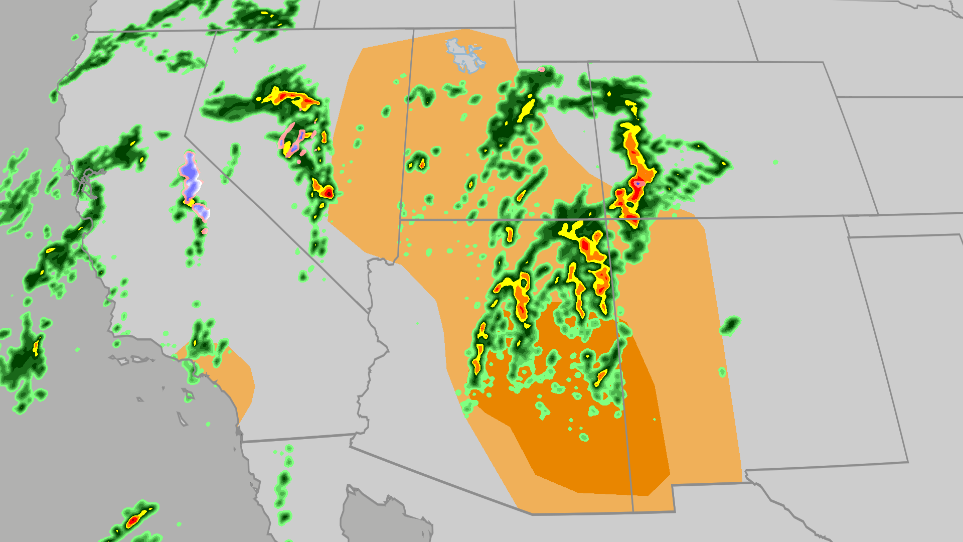 Severe weather, flood risk across Four Corners, California
The Weather Channel Tornadoes, flooding, large hail possible in Four Corners, California Parts of the Four Corners and Southern California face an elevated risk of severe weather on Thursday, which includes the…
-
 California weather with Dirk & Heather: How much rain did we get?
KCRA California weather with Dirk & Heather: How much rain did we get? Scattered showers and thunderstorms have brought beneficial rain to many places across the state. Scattered showers and thunderstorms have brought…
-
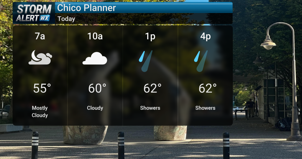 Showery conditions, possible thunderstorms impact Northern California today
Cloudy skies are expected across Northern California today, bringing periods of rain and a chance of thunderstorms later in the day. Highs will reach the mid-60s with winds from the south between 10 and 15 mph. Rain and…
- Air quality alert affecting Southern California Thursday
Sacramento Bee The creation of this content included the use of AI based on templates created, reviewed and edited by journalists in the newsroom. Read more on our AI policy here. On Thursday at 7:36 a.m. the NWS…
-
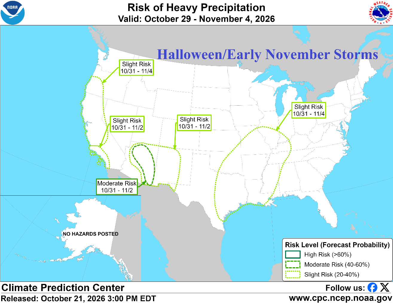 Prohibitive U.S. Storm Track; California/Southwest U.S. Primary Target
Early Season Advancing Snow Cover Climate Impact Company North America Medium Range Report Issued: Thursday October 22, 2026 Chart of the day: NOAA/CPC project prohibitive storm track for early November. Discussion…
- UPDATE: Weather alert for strong thunderstorms in Central California Thursday morning
An updated weather alert was issued by the NWS Los Angeles/Oxnard CA on Thursday at 7:22 a.m. for strong thunderstorms until 8 a.m. The alert is for Ventura County Beaches, Ventura County Inland Coast and Central…
- California and National Drought Summary for October 20, 2026, 10 Day Weather Outlook, and California Drought Statistics: 72% of State Abnormally Dry, A 0% Increase Week-Over-Week
The remaining abnormal dryness (D0) was removed from Southeast Alaska following substantial rainfall and improving moisture conditions. However, moderate drought (D1) persisted in the upper Tanana Valley of eastern…
- UPDATE: Wind advisory in place for Southern California until Thursday evening
On Thursday at 5:53 a.m. the NWS San Diego CA issued an updated wind advisory valid between 6 a.m. and 6 p.m. The advisory is for Riverside County Mountains, San Diego County Mountains, San Diego County Deserts and San…
-
 Ventura County sees steady rain as storm moves into Southern California
VENTURA, Calif. (KABC) -- Ventura County was among the first areas in Southern California to see rainfall Wednesday, with rain beginning around 8:30 a.m. The rain was visible along the northbound 101 Freeway in…
-
 New storm moves into Southern California: What to expect
A new storm is moving into Southern California Wednesday. Here is what to expect: Moderate rain is in the forecast from Wednesday late morning to Thursday afternoon, according to the National Weather Service. The…
Air quality
People with heart or lung disease, older adults, children and teenagers should reduce prolonged or heavy exertion outdoors.
Forecast
- ThuGood (44)
- FriGood (43)
Coachella Vly, CA reporting area · 2 hrs ago. Data from AirNow (EPA and its state, local and tribal partners); preliminary and subject to change.
Sun & moon
Almanac
MonthlyPalm Springs Area, records since 1922. Normals 1991–2020. Data from NOAA's Regional Climate Centers (ACIS).
Nearby
- Indio 15 km
- Hemet 55 km
- Cathedral City 10 km
- Palm Springs 20 km
- San Jacinto 54 km
- Coachella 19 km
- La Quinta 9 km
- Banning 51 km
- Desert Hot Springs 29 km
- Twentynine Palms 55 km
- Yucca Valley 44 km
- Rancho Mirage 4 km
Forecasters' discussion
From the National Weather Service office in SGX, issued 4 hrs ago
Synopsis
Showers and a slight chance of thunderstorms will continue today, with highest thunderstorm chances this afternoon. Showers will end from the northwest late Friday afternoon. Southwest to west winds along the desert slopes of the mountains will gust to 40 to 50 mph through tonight. Dry and warmer for the weekend through Monday, then gradually cooler for next week with a chance of precipitation for late next week. Tides will increase over the weekend, remaining elevated through much of next week.
Discussion
FOR EXTREME SOUTHWESTERN CALIFORNIA INCLUDING ORANGE... SAN DIEGO...WESTERN RIVERSIDE AND SOUTHWESTERN SAN BERNARDINO COUNTIES...
At noon, scattered showers were being observed especially north of San Diego County. Rainfall totals over the past 6 hours have seen quite the range with accumulations of 0.01 to 0.10" and up to 0.60 to 1". Highest totals have been observed near mountain foothills and in the mountains. Isolated thunderstorms are expected to continue through the afternoon. Rainfall activity is expected move south more into San Diego County through this afternoon and evening, but will remain scattered in coverage. For this evening and overnight peak rainfall rates of 0.25 to 0.35 inches per hour are expected. An additional 0.25 to 0.75 inch of rain may accumulate in some locations. In addition to periods of rain, gusty winds can be expected over the mountains, locally into the deserts. Peak gusts of 45 to 55 mph are expected through this evening.
High temperatures on Friday will be a few degrees warmer than today for the coast to the mountains with greater warming of 5 to 10 degrees on Saturday. High temperatures on Saturday will be as much as 5 to 10 degrees below average for the mountains. Conditions will continue to warm Sunday and Monday. By Monday, high temperatures in coastal areas will be 5 to 10 degrees above average, with temperatures closer to average further inland.
The flow will turn offshore for the weekend, with periods of north to northeasterly winds in the mornings. Strongest winds will be on the mountain foothills and below passes and canyons. Right now it looks like peak wind gusts will be in the 30 to 45 mph range. Given the unsettled weather quickly turning to offshore flow, marine layer low clouds and fog will largely be absent from the coast into early next week.
Aviation
221830Z...SCT SHRA and ISO TSRA this morning, mostly north of SD County, continuing through around 03z. Cigs down to 1500-2500 feet MSL and vis 3-5SM at times in heavier SHRA/TSRA, otherwise bases will be 3500-4500 feet MSL. Partial obscuration of mountains this morning, but improving vis later today. More SCT SHRA expected after 07z through Friday morning for coastal areas and ISO SHRA inland. SHRA taper off everywhere from north to south during the day Friday. Onshore winds in mountains into deserts 25-30 kts, creating MOD up/downdrafts in lee of ridges.
Marine
A storm system will slowly move through the coastal waters today through Friday. There is a slight chance of thunderstorms today. Any thunderstorm is capable of producing gusty, erratic winds, choppy seas, lightning, briefly heavy rainfall with reduced visibility, and waterspouts. Isolated northwest wind gusts will occasionally exceed 20 knots Friday. No hazardous marine conditions are expected Friday night through Monday.
Forecasts, observations and alerts in the United States come from the National Weather Service (NOAA); radar from NOAA's Multi-Radar Multi-Sensor system; satellite imagery from NASA's Global Imagery Browse Services (GIBS) and NOAA's GOES satellites; the map from the U.S. Geological Survey's National Map; air quality from AirNow (EPA and its partners); hurricane information from the National Hurricane Center; climate normals and records from NOAA's Regional Climate Centers (ACIS). Forecasts outside the United States and the UV index: MET Norway (CC BY 4.0); observations outside the U.S.: airport reports via NOAA's Aviation Weather Center. Place names: GeoNames (CC BY 4.0). Data are copied on a schedule and may lag the sources; for warnings that affect your safety, follow your local National Weather Service office and emergency officials. Weather news is drawn from the 4Conservative index and reflects what the press published. Terms of use.