Install
San Diego, CA 92101 Weather
Current conditions
Observed at San Diego International Airport · 39 min ago
Forecast
10-day-
Overnight
Patchy fog before 5am. Mostly cloudy, with a low around 65. Southeast wind around 0 mph.
-
Tuesday
Partly sunny, with a high near 78. South wind 5 to 10 mph.
-
Tuesday Night
Mostly cloudy, with a low around 63. South wind 0 to 5 mph.
National Weather Service forecast updated 1 hr ago.
Hourly
Hourly forecast- Now66°
- 5 AM66°
- 6 AM65°
- 7 AM65°
- 8 AM66°
- 9 AM69°
- 10 AM72°
- 11 AM76°
- 12 PM77°
- 1 PM77°
- 2 PM78°
- 3 PM76°
- 4 PM76°
- 5 PM75°
- 6 PM72°
- 7 PM70°
- 8 PM69°
- 9 PM68°
- 10 PM68°
- 11 PM67°
- Wed12 AM66°
- 1 AM66°
- 2 AM66°
- 3 AM65°
10-day forecast
Details- TonightOct 19Patchy Fog65°
- TodayOct 20Partly Sunny63°78°
- WedOct 21Mostly Sunny then Chance Rain Showers92%64°76°
- ThuOct 22Showers And Thunderstorms92%61°69°
- FriOct 23Mostly Sunny60°71°
- SatOct 24Sunny63°79°
- SunOct 25Mostly Sunny64°81°
- MonOct 26Mostly Sunny81°
- TueOct 27Mostly sunny66°82°
- WedOct 28Cloudy68°81°
Days after the National Weather Service's seven are MET Norway's outlook, a computer model with no forecaster's review.
Radar
Full mapWeather news near San Diego
More weather news-
 Cool weather and rain on tap for San Diego County this week
A north Pacific storm that’s drawing moisture from distant Tropical Storm Trudy will spread across San Diego County late Tuesday night and drop a half-inch or more of precipitation through Friday, the National Weather…
-
 Cooler Weather, Mid-Week Rain Expected Across San Diego County
SAN DIEGO, CA — San Diego County is expected to transition from unseasonably warm weather to cooler conditions and periods of rain this week as a low-pressure system moves in from the northwest, forecasters said Sunday…
-
 Cool Fall-Like Temperatures Expected This Week
A low-pressure system is expected to reach the coast by Tuesday evening, bringing rain to Southern California • 1 hour ago Southern Californians will finally get a break from heat waves, with cooler, fall-like…
- These Are the States With the Best Weather Year-round
California and Hawaii are strong contenders for the best weather in the U.S. year-round. Coastal California offers comfortable temperatures with limited seasonal swings; Hawaii delivers consistent coastal warmth. But…
- Beach hazards statement affecting San Diego County Coastal Areas and Orange County Coastal
On Sunday at 12:59 a.m. a beach hazards statement was issued by the NWS San Diego CA valid from 9 a.m. until Tuesday 9 a.m. for San Diego County Coastal Areas and Orange County Coastal. "Dangerous rip currents and…
- A wave of uncertainty: What the El Niño brings to the California coast
Beach closures, flooding neighborhoods, rising temperatures and high surf advisories: What else does this ongoing “Super” El Niño storm have in store for the California coast, and how will it permanently alter these…
-
 High Wind Warning issued October 17 at 11:53AM PDT until October 18 at 12:00AM PDT by NWS San Diego CA
KESQ Jump to comments ↓ News Channel 3 is committed to providing a forum for civil and constructive conversation. Manage your cookie preferences below: Essential cookies enable basic functions and are necessary for the…
- High Wind Warning issued October 17 at 4:13AM PDT until October 18 at 12:00AM PDT by NWS San Diego CA
KESQ Jump to comments ↓ News Channel 3 is committed to providing a forum for civil and constructive conversation. Manage your cookie preferences below: Essential cookies enable basic functions and are necessary for the…
-
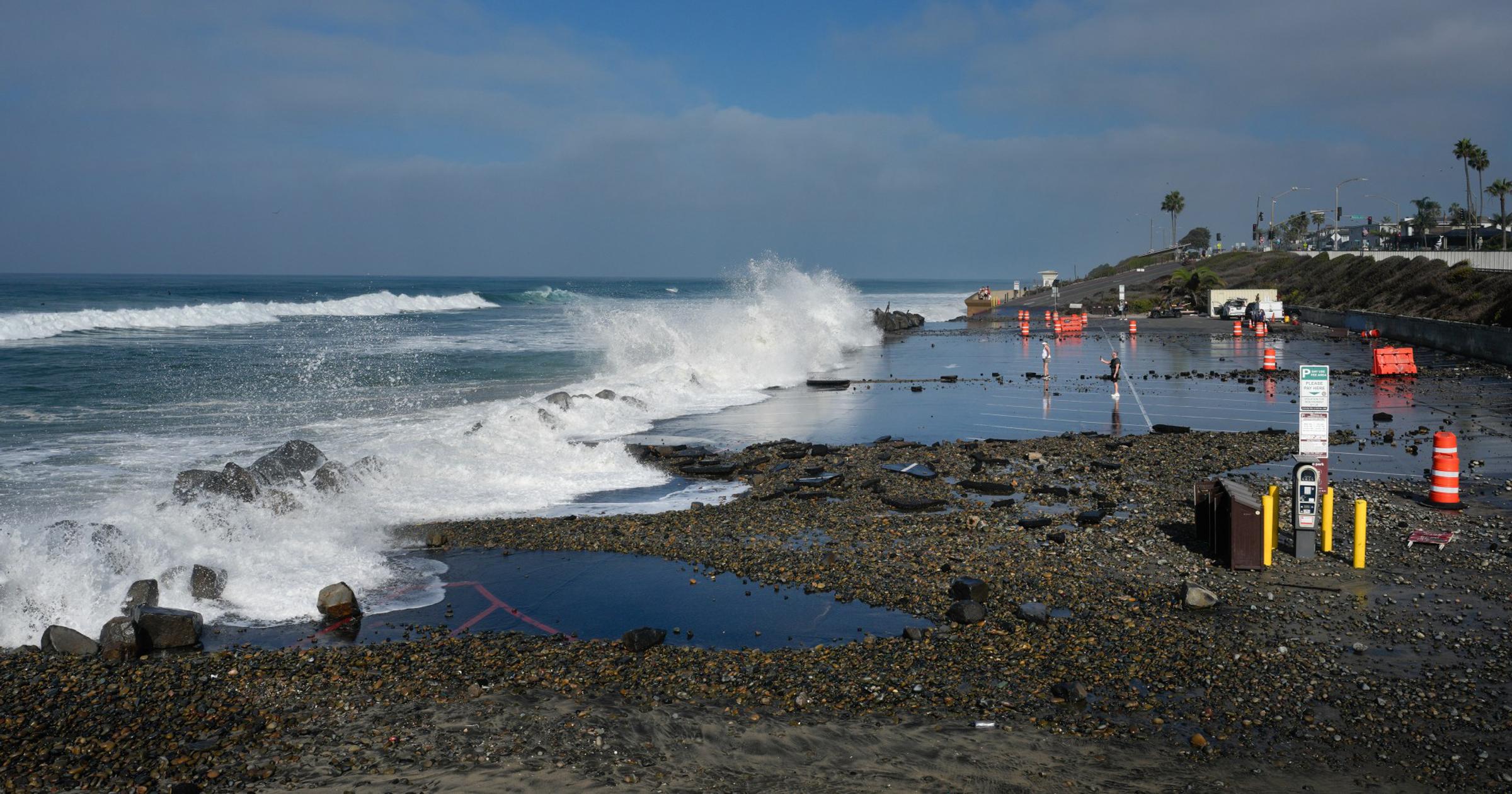 What can we expect from El Niño? Scientists say brace for the worst.
SAN DIEGO — Climatologists, oceanographers and meteorologists gathered at Scripps Institution of Oceanography in La Jolla this month, just steps from the Pacific Ocean, to discuss what the region can expect from…
- High Wind Warning issued October 17 at 4:13AM PDT until October 17 at 8:00PM PDT by NWS San Diego CA
KESQ Jump to comments ↓ News Channel 3 is committed to providing a forum for civil and constructive conversation. Manage your cookie preferences below: Essential cookies enable basic functions and are necessary for the…
Air quality
Acceptable. Unusually sensitive people should consider limiting prolonged outdoor exertion.
Forecast
- TueGood (44)
- WedGood (43)
San Diego Coast, CA reporting area · 1 hr ago. Data from AirNow (EPA and its state, local and tribal partners); preliminary and subject to change.
Sun & moon
Almanac
MonthlySan Diego Area, records since 1874. Normals 1991–2020. Data from NOAA's Regional Climate Centers (ACIS).
Nearby
- Tijuana 28 km
- Chula Vista 11 km
- Oceanside 57 km
- Escondido 45 km
- Carlsbad 52 km
- El Cajon 20 km
- Vista 54 km
- Rosarito 41 km
- San Marcos 47 km
- Tecate 52 km
- Encinitas 38 km
- National City 7 km
Forecasters' discussion
From the National Weather Service office in SGX, issued 2 hrs ago
Synopsis
A low pressure system moving southward off the California coast will spreading cooling inland through Thursday. It is expected to bring showers and slight chance of thunderstorms for late Wednesday through Thursday is it moves inland through California into Nevada. Then warmer and drier for next weekend.
Aviation
200530Z...Coast...Gradually increasing low clouds based around 1000- 1200 feet MSL overnight. Vis reduced 3-5SM on mesas. Cigs lifting some before scatter out 16-18Z Tuesday. Low clouds based around 1500- 2000 feet MSL to redevelop after 03Z Tuesday evening.
Otherwise...mostly clear and VFR conditions through Tuesday morning, until SCT-BKN clouds based around 10 kft develop over inland areas, especially mountains 19-01Z. Isold SHRA 21-01Z Tuesday.
Marine
No hazardous marine conditions are expected through Wednesday morning. A storm system moves into the region later Wednesday through Thursday, bringing gusts at or exceeding 20 knots and associated choppy seas, along with a 10-20% chance of TSRA.
Beaches
Southerly swells will continue to bring surf of 3 to 6 feet with local sets to 7 feet, highest at south and southwest-facing beaches through Tuesday. This will bring hazardous swimming conditions for most. While surf and rip currents will be elevated, daily high tides will not be particularly high, and the threat of coastal flooding is minimal. Details are in the Beach Hazards Statement.
Forecasts, observations and alerts in the United States come from the National Weather Service (NOAA); radar from NOAA's Multi-Radar Multi-Sensor system; satellite imagery from NASA's Global Imagery Browse Services (GIBS) and NOAA's GOES satellites; the map from the U.S. Geological Survey's National Map; air quality from AirNow (EPA and its partners); hurricane information from the National Hurricane Center; climate normals and records from NOAA's Regional Climate Centers (ACIS). Forecasts outside the United States and the UV index: MET Norway (CC BY 4.0); observations outside the U.S.: airport reports via NOAA's Aviation Weather Center. Place names: GeoNames (CC BY 4.0). Data are copied on a schedule and may lag the sources; for warnings that affect your safety, follow your local National Weather Service office and emergency officials. Weather news is drawn from the 4Conservative index and reflects what the press published. Terms of use.