Install
El Cajon, CA Weather
Current conditions
Observed at EW3070 Rancho San Diego · 1 hr ago
Forecast
10-day-
Tonight
Patchy fog after 11pm. Partly cloudy, with a low around 60. South wind around 0 mph.
-
Tuesday
Patchy fog before 8am. Mostly sunny, with a high near 84. South wind 0 to 10 mph.
-
Tuesday Night
Patchy fog between 11pm and 5am. Mostly cloudy, with a low around 59. South wind 0 to 5 mph.
National Weather Service forecast updated 12 hrs ago.
Hourly
Hourly forecast- Now65°
- 1 AM64°
- 2 AM63°
- 3 AM62°
- 4 AM62°
- 5 AM61°
- 6 AM61°
- 7 AM60°
- 8 AM63°
- 9 AM69°
- 10 AM75°
- 11 AM80°
- 12 PM83°
- 1 PM83°
- 2 PM84°
- 3 PM82°
- 4 PM80°
- 5 PM78°
- 6 PM76°
- 7 PM72°
- 8 PM69°
- 9 PM67°
- 10 PM65°
- 11 PM64°
10-day forecast
Details- TonightOct 19Patchy Fog60°
- TodayOct 20Patchy Fog then Mostly Sunny59°84°
- WedOct 21Mostly Sunny then Chance Rain Showers83%59°79°
- ThuOct 22Showers And Thunderstorms83%55°71°
- FriOct 23Sunny55°74°
- SatOct 24Sunny57°81°
- SunOct 25Sunny58°83°
- MonOct 26Mostly Sunny10%82°
- TueOct 27Mostly sunny59°87°
- WedOct 28Cloudy62°85°
Days after the National Weather Service's seven are MET Norway's outlook, a computer model with no forecaster's review.
Radar
Full mapWeather news in California
More weather news-
 Cooler temperatures, possible rain headed for Southern California
It’s time to grab those jackets and pull out the umbrellas because cooler temperatures and a chance of rain is on tap for Southern California by the middle of this week, forecasters say. The region could see widespread…
-
 Rain — and potentially lots of it — heading to Southern California
Widespread rain and possible thunderstorms are headed for Southern California this week, with forecasters on Monday warning that some areas could receive up to 2 inches of rain. The National Weather Service said a…
-
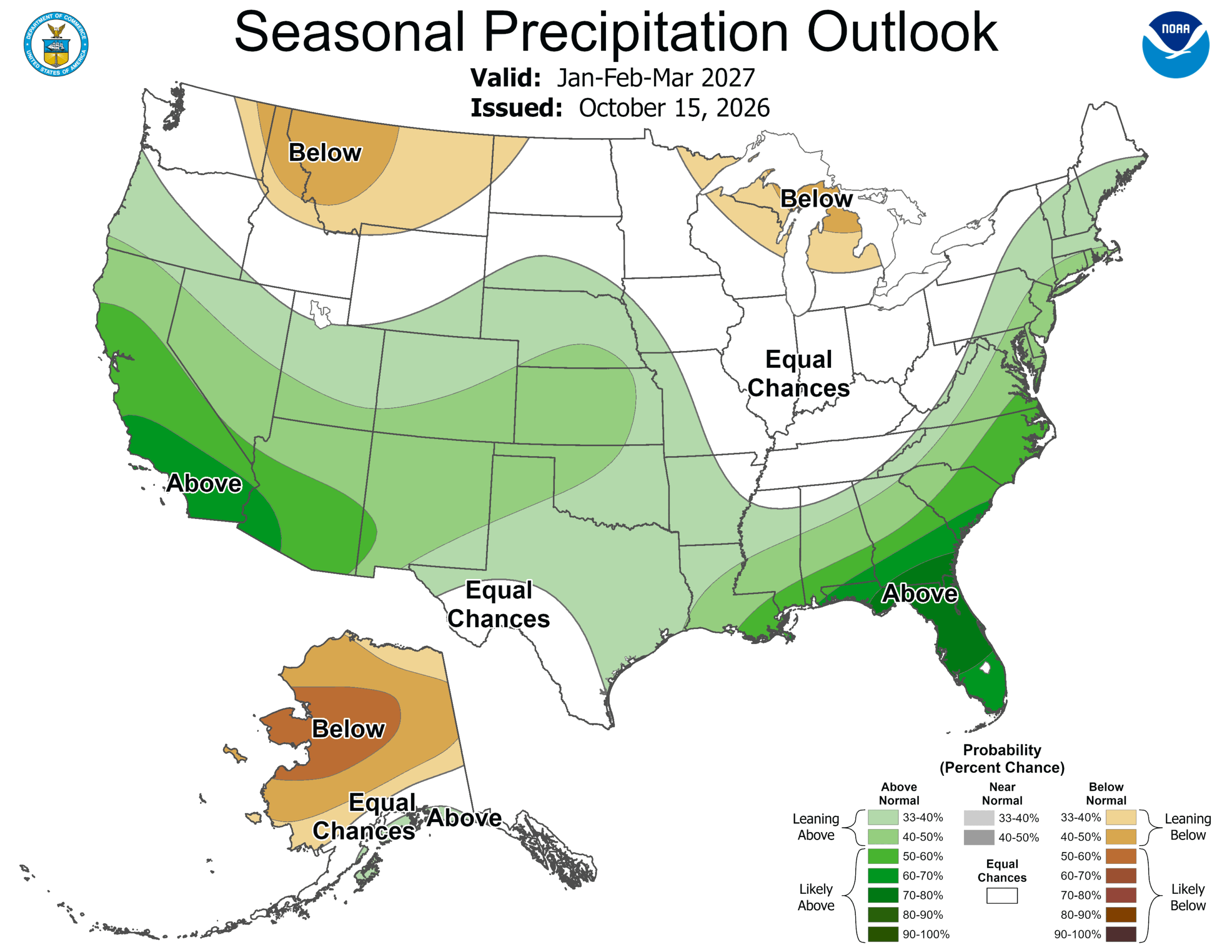 ‘Weather Whiplash’ Bringing Back Rain and Snow to California
A “weather whiplash” will continue taking Californians for a ride this week, as last week’s high temperatures and blustery winds give way to clouds, rain and snow in the mountains. This week, the stormy weather returns…
-
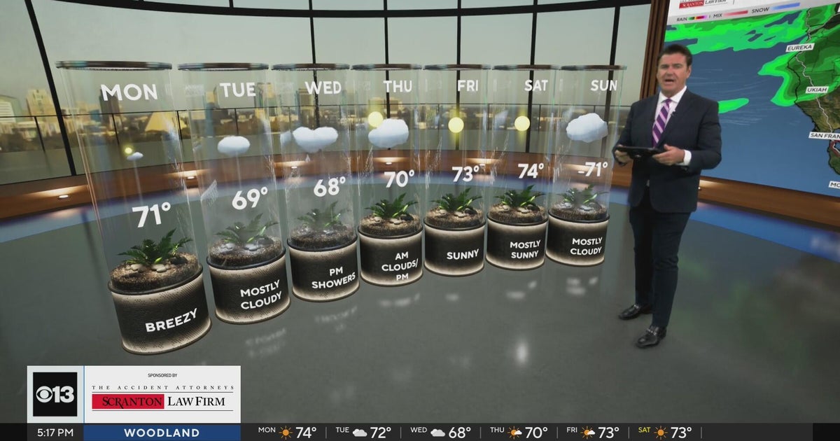 Sunday evening Northern California weather forecast - October 18, 2026
CBS News Bay Area Evening Edition Weekend 5pm CBS News Detroit Weekend 6:30pm CBS News Miami 6:30pm CBS Philadelphia at 6:30pm What's in Season with Michael Marks CBS News Texas 5:30pm
-
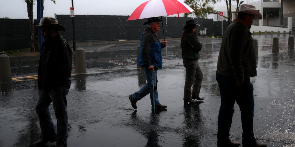 California storms could bring much-needed rain and relief to wildfire-weary areas
🔥 FIRE RELIEF: Wet weather is headed for California just in time as wildfires rage across the state, bringing much-needed relief to the fiery conditions this week. CALIFORNIA - As numerous wildfires burn across parts of…
-
 Incoming storm to bring renewed flood risk to California, Southwest
Tropical moisture will fuel downpours across California and the Southwest this week, raising the risk of flash flooding and mudslides. Published Oct 18, 2026 11:09 AM EDT | Updated Oct 18, 2026 3:09 PM EDT Dramatic…
-
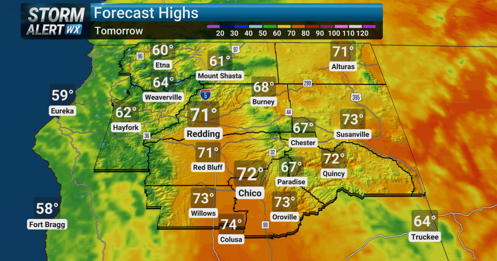 Cooler temperatures settle in Monday across Northern California
Elevated fire weather conditions along with very dry air will continue across the Sierra Nevada and adjacent foothills, including portions of the Sacramento Valley, through tonight due to current weather patterns…
- A wave of uncertainty: What the El Niño brings to the California coast
Beach closures, flooding neighborhoods, rising temperatures and high surf advisories: What else does this ongoing “Super” El Niño storm have in store for the California coast, and how will it permanently alter these…
-
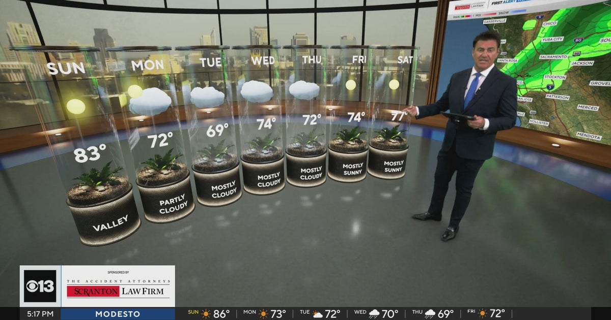 Saturday evening Northern California weather forecast - October 17, 2026
CBS News Bay Area Evening Edition Weekend 6pm CBS News Detroit Weekend 6pm CBS News Philadelphia 7:30pm Your Stories From Your Community Reporters CBS News Texas Saturday 5pm
-
 El Niño grows ‘second arm’ as California braces for impacts of rapidly expanding super system
California’s looming El Niño nightmare is already here — and as the coastline continues to take a beating, meteorologists are warning the massive weather system has gone mutant. The potentially historic weather system…
Air quality
Air quality is satisfactory, and air pollution poses little or no risk.
Forecast
- TueGood (49)
- WedGood (45)
San Diego Mesa and Inland Valley, CA reporting area · 1 hr ago. Data from AirNow (EPA and its state, local and tribal partners); preliminary and subject to change.
Sun & moon
Nearby
- Tijuana 33 km
- San Diego 21 km
- Chula Vista 21 km
- Oceanside 59 km
- Escondido 38 km
- Carlsbad 54 km
- Vista 52 km
- Rosarito 49 km
- San Marcos 43 km
- Tecate 40 km
- Encinitas 41 km
- National City 18 km
Forecasters' discussion
From the National Weather Service office in SGX, issued 1 hr ago
Synopsis
Onshore flow will begin to spread cooling inland today with a return of coastal low clouds and fog likely for tonight into Tuesday morning. A low pressure system from the north will bring greater cooling for Wednesday and Thursday along with showers and a chance of thunderstorms, most likely for Wednesday night through Thursday afternoon. Then dry and warmer for next weekend.
Discussion
FOR EXTREME SOUTHWESTERN CALIFORNIA INCLUDING ORANGE... SAN DIEGO...WESTERN RIVERSIDE AND SOUTHWESTERN SAN BERNARDINO COUNTIES...
...UPDATED AVIATION DISCUSSION...
Onshore flow ahead of a low pressure system approaching from the northwest will help to spread the low clouds into the coastal areas tonight. A developing coastal eddy, cyclonic flow aloft and falling heights will cause the marine layer to deepen and the clouds to lift overnight into Tuesday morning.
We can expect a general cooling trend through Thursday as the low pressure system moves into SoCal. Thursday will likely be the coolest day, with temperatures from a few degrees to as much a 15 degrees below normal. Ahead of the system, moisture from the low latitudes will likely be drawn into socal with the flow aloft. The system will use this moisture to produce light precipitation as early as Wednesday morning. Precipitation will become more widespread, progressing from northwest to southeast across the region and increasing in intensity on Thursday as the system moves through Socal. Conditions become most unstable on Thursday as colder air moves in aloft from the northwest bringing a chance for thunderstorms for Thursday morning through Thursday afternoon. Precipitation will taper off by Friday morning as the upper level trough axis moves east and conditions become more stable.
For Orange and southwestern San Bernardino Counties, rainfall could range from around 1 inch for the Orange County coastal plain to around 1.5 inches on the coastal slopes of the mountains with amounts decreasing from north to south into San Diego County. For the 24 hr period ending at 5 pm Thursday, there is a 35 to 65 percent chance of greater than 1 inch of rainfall in San Diego County from the coast to the mountains. There is about a 30 to 45 percent chance of 1 inch or more in the Inland Empire and about a 45 to 65 percent chance in Orange County, the Santa Ana Mountains and on the slopes of the San Bernardino Mountains.
The snow level will drop to around 8,000 ft on Thursday afternoon and the highest peaks of the San Bernardino and San Jacinto mountains could get small amounts of snow.
Aviation
200530Z...Coast...Gradually increasing low clouds based around 1000- 1200 feet MSL overnight. Vis reduced 3-5SM on mesas. Cigs lifting some before scatter out 16-18Z Tuesday. Low clouds based around 1500- 2000 feet MSL to redevelop after 03Z Tuesday evening.
Otherwise...mostly clear and VFR conditions through Tuesday morning, until SCT-BKN clouds based around 10 kft develop over inland areas, especially mountains 19-01Z. Isold SHRA 21-01Z Tuesday.
Marine
No hazardous marine conditions are expected through Wednesday morning. A storm system moves into the region later Wednesday through Thursday, bringing gusts at or exceeding 20 knots and associated choppy seas, along with a 10-20% chance of TSRA.
Forecasts, observations and alerts in the United States come from the National Weather Service (NOAA); radar from NOAA's Multi-Radar Multi-Sensor system; satellite imagery from NASA's Global Imagery Browse Services (GIBS) and NOAA's GOES satellites; the map from the U.S. Geological Survey's National Map; air quality from AirNow (EPA and its partners); hurricane information from the National Hurricane Center; climate normals and records from NOAA's Regional Climate Centers (ACIS). Forecasts outside the United States and the UV index: MET Norway (CC BY 4.0); observations outside the U.S.: airport reports via NOAA's Aviation Weather Center. Place names: GeoNames (CC BY 4.0). Data are copied on a schedule and may lag the sources; for warnings that affect your safety, follow your local National Weather Service office and emergency officials. Weather news is drawn from the 4Conservative index and reflects what the press published. Terms of use.