Install
Lake Havasu City, AZ 86406 Weather
Current conditions
Forecast for this hour (no station report in the last two hours)
Forecast
10-day-
Sunday Night
Mostly clear, with a low around 59.
-
Monday
Sunny, with a high near 78.
-
Monday Night
Mostly clear, with a low around 59.
National Weather Service forecast updated 3 days ago.
Hourly
Hourly forecast- Now71°
- 7 PM69°
- 8 PM67°
- 9 PM65°
- 10 PM64°
- 11 PM63°
- Mon12 AM62°
- 1 AM61°
- 2 AM60°
- 3 AM59°
- 4 AM59°
- 5 AM59°
- 6 AM59°
- 7 AM59°
- 8 AM61°
- 9 AM65°
- 10 AM69°
- 11 AM73°
- 12 PM76°
- 1 PM77°
- 2 PM78°
- 3 PM79°
- 4 PM78°
- 5 PM77°
Daily forecast
Details- ThuOct 22Isolated Showers And Thunderstorms22%55°75°
- FriOct 23Sunny56°72°
- SatOct 24Sunny58°73°
- TodayOct 25Sunny59°75°
- MonOct 26Sunny59°78°
- TueOct 27Sunny60°79°
- WedOct 28Mostly Sunny61°79°
- ThuOct 29Cloudy62°82°
- FriOct 30Partly cloudy62°83°
Days after the National Weather Service's seven are MET Norway's outlook, a computer model with no forecaster's review.
Radar
Full mapWeather news in Arizona
More weather news-
 MOST ACCURATE FORECAST: Cooler, drier air settles into Arizona
PHOENIX — The powerful fall storm that brought severe weather to Arizona this week has moved out of the state. The storm system triggered 16 Tornado Warnings across Arizona on Wednesday and Thursday. A likely tornado…
-
 Severe weather is leaving Arizona. Here’s what to expect next
After several days of severe weather across Arizona, mainly quiet conditions return for Friday and the weekend. Ian Schwartz has your First Alert forecast. PHOENIX (AZFamily) — After several days of severe weather…
-
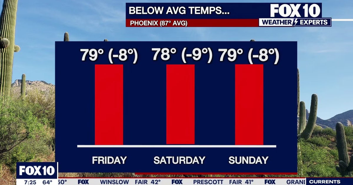 Arizona weather forecast: Cooler highs and sunny weekend skies in Phoenix
PHOENIX - Friday morning temperatures across Phoenix show most residents starting in the mid-to-upper 50s or low 60s. Wickenburg recorded upper 40s, while temperatures reached 59 degrees in Mesa, Phoenix-Mesa Gateway…
-
 MOST ACCURATE FORECAST: Tornado Watch for much of Arizona
PHOENIX — A powerful fall storm is moving through Arizona. Strong to severe storms are impacting parts of the state again Thursday. The storm threat shifts into eastern Arizona this afternoon before clearing out…
-
 After a stormy few days in Arizona, sunshine and fall temps return Friday
TUCSON, Ariz. (13 News) - Tornado Watch in Cochise, Graham, and Greenlee Counties until 8pm tonight. Severe weather potential remains this afternoon and evening throughout Arizona. A Flood Watch is still valid for our…
-
 Golf Ball-Sized Hailstones Pummel Parts of Arizona in Rare Storm
Tornado watches were issued for several areas—the first in Arizona since 2010. What would you like to watch today?
-
 Tornado Watch in effect for parts of southeast Arizona
TUCSON, Ariz. (13 News) - Another active day across the state. Main threat will be heavy rain, strong winds, hail, and potentially a tornado. A Tornado Watch has been issued for to Graham, Greenlee, and Cochise counties…
-
 Majority of Arizona under tornado watch as severe weather threat continues
PHOENIX (AZFamily) — A tornado warning has been issued for the Show Low area until 5:15 p.m. on Thursday afternoon. A tornado watch remains in effect for northern and eastern Arizona through 9 p.m. tonight. This…
- Tornado watch issued for parts of Arizona; severe weather watch in place
PHOENIX (AZFamily) — A majority of Arizona is under a tornado watch as the state braces for another day of severe weather. The National Weather Service Flagstaff says parts of eastern, northern and southern Arizona are…
-
 Hail the size of golf balls pummels parts of Arizona as rare storm moves through the West
PHOENIX — Hail the size of golf balls and damaging wind gusts pounded northern and central Arizona in a rare storm blowing through, bringing with it tornado risks and possible flash floods. The National Weather Service…
Sun & moon
Almanac
MonthlyLake Havasu City, records since 1991. Normals 1991–2020. Data from NOAA's Regional Climate Centers (ACIS).
Nearby
- Parker 34 km
- Desert Hills 27 km
- Golden Shores 51 km
Forecasters' discussion
From the National Weather Service office in VEF, issued 4 hrs ago
Key Messages
* Quiet and seasonable weather conditions through at least Wednesday.
* Chances of precipitation, cooler temperatures, and gusty winds return to the region late-week into the weekend.
Discussion
Today through Saturday.
Zonal-to-northwesterly flow aloft will result in generally quiet and seasonable weather through the first half of the work week. Conditions will remain dry and temperatures will hover within a few degrees of seasonal normals. A trough will push through the Intermountain West on Monday that will increase south-southwesterly winds across the southern Great Basin, with speeds generally between 15 and 25 mph. On Tuesday and Wednesday, expect similar wind speeds along the Colorado River Valley with wave heights between 1 and 1.5 feet at Lake Mohave and Lake Havasu. Otherwise, winds will remain generally light with afternoon breezes.
This weekend, a longwave trough will dominate the weather pattern and will return precipitation chances to the Desert Southwest late- week through the remainder of the forecast period. Several shortwaves embedded in the aforementioned flow aloft will help guide anomalous subtropical moisture into the region, with forecast PWATs over 200 percent of normal for this time of year across our southern zones. The closed low associated with the longwave trough will ride along the California coast as the weekend progresses, eventually weakening into an open wave as it moves inland and across southeastern California, southern Nevada, and northwestern Arizona. That said, there remains a substantial amount of uncertainty regarding timing of the weather system, trajectory of the moisture flux, and strength of the low as it moves inland. Minor changes in the trajectory of the moisture flux (southwesterly vs. southerly) would result in a wide range of variance in precipitation amounts across the forecast area. Continue to check back to the forecast as we move through the work week if you have outdoor plans for Halloween weekend.
Aviation
For Harry Reid...For the 18Z Forecast Package...Winds will remain light and follow typical daily directional trends into the overnight hours. Winds will become light and variable early Monday morning before settling from the east late tomorrow morning. VFR conditions will persist with increasing high cloud cover overnight.
For the rest of southern Nevada, northwest Arizona and southeast California...For the 18Z Forecast Package...Winds across the region will remain under 10 knots and will follow typical, daily directional trends through the TAF period. Winds may become light and variable at times as winds transition. High clouds AOA 25 kft will increase across the area overnight.
Spotter Information Statement
Spotters are encouraged to report any significant weather or impacts according to standard operating procedures.
Forecasts, observations and alerts in the United States come from the National Weather Service (NOAA); radar from NOAA's Multi-Radar Multi-Sensor system; satellite imagery from NASA's Global Imagery Browse Services (GIBS) and NOAA's GOES satellites; the map from the U.S. Geological Survey's National Map; air quality from AirNow (EPA and its partners); hurricane information from the National Hurricane Center; climate normals and records from NOAA's Regional Climate Centers (ACIS). Forecasts outside the United States and the UV index: MET Norway (CC BY 4.0); observations outside the U.S.: airport reports via NOAA's Aviation Weather Center. Place names: GeoNames (CC BY 4.0). Data are copied on a schedule and may lag the sources; for warnings that affect your safety, follow your local National Weather Service office and emergency officials. Weather news is drawn from the 4Conservative index and reflects what the press published. Terms of use. How to use Weather