Install
Parker, AZ Weather
Current conditions
Observed at RICE VALLEY · 1 hr ago
Forecast
10-day-
Tonight
Mostly cloudy. Low around 68, with temperatures rising to around 70 overnight. South southeast wind 5 to 13 mph, with gusts as high as 25 mph.
-
Thursday
Sunny. High near 83, with temperatures falling to around 80 in the afternoon. South wind 5 to 16 mph, with gusts as high as 31 mph.
-
Thursday Night
Mostly clear, with a low around 58. South wind 1 to 14 mph, with gusts as high as 26 mph.
National Weather Service forecast updated 14 hrs ago.
Hourly
Hourly forecast- Now85°
- 7 PM83°
- 8 PM79°
- 9 PM78°
- 10 PM76°
- 11 PM75°
- Thu12 AM75°
- 1 AM73°
- 2 AM72°
- 3 AM72°
- 4 AM70°
- 5 AM70°10%
- 6 AM70°10%
- 7 AM68°
- 8 AM71°
- 9 AM74°
- 10 AM76°
- 11 AM78°
- 12 PM80°
- 1 PM81°
- 2 PM81°
- 3 PM81°
- 4 PM82°
- 5 PM80°
Daily forecast
Details- TodayOct 21Slight Chance Showers And Thunderstorms11%68°90°
- ThuOct 22Sunny10%58°83°
- FriOct 23Sunny59°79°
- SatOct 24Sunny59°81°
- SunOct 25Sunny59°82°
- MonOct 26Sunny60°84°
- TueOct 27Sunny61°84°
- WedOct 28Cloudy64°87°
- ThuOct 29Sunny63°87°
Days after the National Weather Service's seven are MET Norway's outlook, a computer model with no forecaster's review.
Radar
Full mapWeather news near Parker
More weather news- Blustery Friday brings lake-effect rain ahead of sunny weekend: Get Bill Steffen's weekend forecast.
A sharp drop in temperatures, gusty winds, and hazardous conditions along Lake Michigan highlight a cool weekend outlook for West Michigan, with gale warnings in effect and scattered frost on the horizon. That…
-
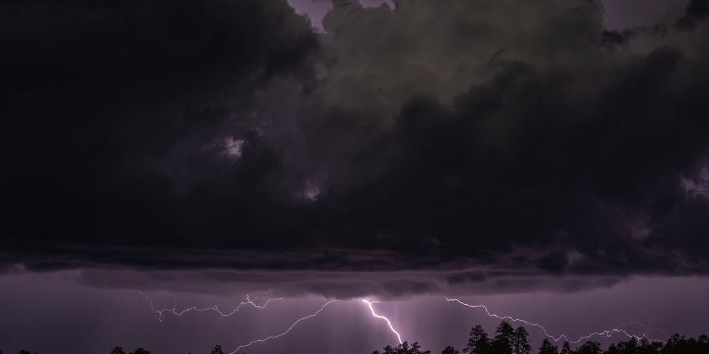 Rare severe storm threat targets Southern California while Arizona faces potential egg-sized hail, tornadoes
FLAGSTAFF, Ariz. — Severe thunderstorms blasted parts of Arizona early Wednesday ahead of a rare severe weather threat that will intensify through the day and into the evening. Parts of the state, including Flagstaff…
-
 Arizona's wild weather attracting storm chasers nationwide
AZ Family Arizona's wild weather attracting storm chasers nationwide Watch: Hail and heavy storms hit Flagstaff amid tornado warning Pending home sales hit record low: What it means for Phoenix buyers and sellers What…
-
 Another round of storms, heavy rain in store across Arizona
AZ Family Another round of storms, heavy rain in store across Arizona Watch: Hail and heavy storms hit Flagstaff amid tornado warning When to expect rain across Arizona on Wednesday Arizona thunderstorms are moving in…
-
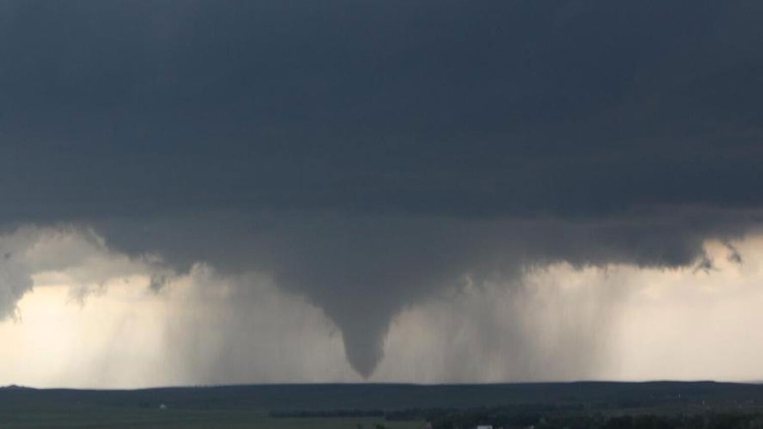 Tornado watch in effect for northern half of Arizona
More than 675,000 residents in Mohave, Coconino, Yavapai and Navajo counties are covered by the National Weather Service alert until 6 p.m. Wednesday. The National Weather Service issued several tornado warnings…
-
 MOST ACCURATE FORECAST: Flood Watches across Arizona, strong to severe storms possible
PHOENIX — A powerful fall storm is moving into Arizona. It already gave us a preview. A severe storm dropped large hail from Chandler to Mesa Tuesday night. Winds will pick up, temperatures will drop and strong to…
-
 History shows October storms can hit Arizona hard
KOLN | Nebraska Local News, Weather, Sports | Lincoln, NE History shows October storms can hit Arizona hard Vice President J.D. Vance has not yet arrived in North Platte, but his planned visit is already filling area…
- Severe weather chances increase in Arizona, with hail, tornado risks
Forecasts for the storms coming to Arizona have taken a more severe turn ahead of their arrival on Wednesday, Oct. 21. Recent updates from the Storm Prediction Center increased the threat level in the state up to an…
-
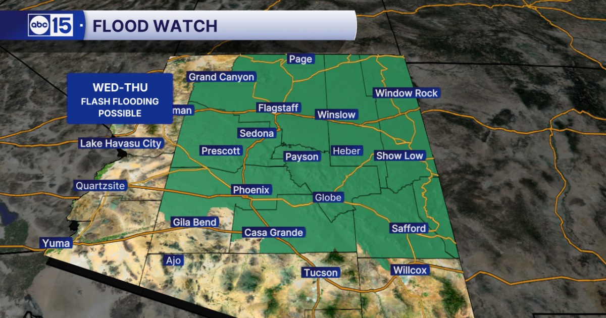 WHAT TO EXPECT: Heavy rain and flash flooding possible across Arizona midweek
Get ready for big weather changes across the state this week! A strong storm system off the California coast is pulling well-above-normal moisture into Arizona. The setup will fuel showers and thunderstorms across the…
- Flash-flood risk rises in Southern California, severe storms threaten Arizona
Satellite image of southwest U.S. at 17:20 UTC on October 20, 2026. Credit: NOAA/GOES-19, Zoom Earth, The Watchers The WPC Excessive Rainfall Discussion issued at 15:33 UTC on October 20 places portions of Southern…
Air quality
Air quality is satisfactory, and air pollution poses little or no risk.
Blythe, CA reporting area · 1 hr ago. Data from AirNow (EPA and its state, local and tribal partners); preliminary and subject to change.
Sun & moon
Nearby
- Lake Havasu City 37 km
- Quartzsite 54 km
- Desert Hills 46 km
Forecasters' discussion
From the National Weather Service office in PSR, issued 1 hr ago
Update
00Z Aviation Discussion.
Key Messages
- A strong low pressure system will support multiple rounds of showers and thunderstorms, some of which may be strong to severe through Thursday afternoon across much of central and eastern Arizona.
- Moderate to heavy rainfall with totals over one inch may result in areas of flash flooding across south-central Arizona with a focus on upslope, terrain areas.
- Drier air filtering into the region by the end of the week will lead to more benign weather conditions during the weekend and through at least early next week.
- Near normal temperatures will cool to below normal levels by the latter half of the week and continuing through early next week.
Aviation
Updated at 2350Z.
South Central Arizona including KPHX, KIWA, KSDL, and KDVT: The main aviation concerns through Thursday morning continue to be periods of VCTS/TS which could result in gusty winds, IFR/MVFR vsbys due to heavy rainfall, lightning, and hail. There will be a lull in thunderstorm activity for several hours after 01Z this evening, however storm chances will ramp up again late tonight. The most likely period of time to see thunderstorms overnight will be generally after midnight through 7 AM Thursday morning. Winds will likely shift back out of the east this evening and remain easterly through the period, although thunderstorms could cause wind directions to fluctuate to northerly or westerly briefly. CIGs are expected to remain around 5-7K ft AGL and then may dip to 3-5K ft early Thursday morning as showers continue to progress through the metro area.
Southeast California/Southwest Arizona including KIPL and KBLH: No major aviation weather concerns are anticipated through the forecast period. Winds will favor a southerly component at KBLH and fluctuate between southeasterly and westerly at KIPL. Gust around 20-25 kts can be expected at KBLH through early this evening. FEW to SCT clouds, mostly aoa 6-7 kft, will be common through this evening.
Fire Weather
A low pressure system will bring very active weather conditions across much of central and eastern AZ through Thursday as multiple rounds of showers and thunderstorms are expected. Significant rainfall activity is likely in some areas, particularly across the higher terrain areas of the eastern districts where rainfall amounts in excess of 1-2" are possible. MinRHs through Thursday will range between 30-40% across the western districts and between 40-70% across the eastern districts along with good to excellent overnight recoveries. Some gusty winds with peak gusts upwards of 25-30 mph are likely this afternoon and once again on Thursday across the western districts. Much quieter conditions are expected starting Friday along with a decrease in humidity values. Near normal temperatures today will cool into a below normal category starting Thursday and lasting through the weekend.
Forecasts, observations and alerts in the United States come from the National Weather Service (NOAA); radar from NOAA's Multi-Radar Multi-Sensor system; satellite imagery from NASA's Global Imagery Browse Services (GIBS) and NOAA's GOES satellites; the map from the U.S. Geological Survey's National Map; air quality from AirNow (EPA and its partners); hurricane information from the National Hurricane Center; climate normals and records from NOAA's Regional Climate Centers (ACIS). Forecasts outside the United States and the UV index: MET Norway (CC BY 4.0); observations outside the U.S.: airport reports via NOAA's Aviation Weather Center. Place names: GeoNames (CC BY 4.0). Data are copied on a schedule and may lag the sources; for warnings that affect your safety, follow your local National Weather Service office and emergency officials. Weather news is drawn from the 4Conservative index and reflects what the press published. Terms of use.