Install
Weiser, ID 83672 Weather
Current conditions
Observed at Ontario Municipal Airport · 55 min ago
Forecast
10-day-
Today
Patchy smoke before 9am. Mostly sunny, with a high near 74. East southeast wind around 5 mph.
-
Tonight
A slight chance of rain showers after midnight. Partly cloudy. Low around 46, with temperatures rising to around 50 overnight. North northeast wind 3 to 7 mph. Chance of precipitation is 20%.
-
Thursday
A chance of rain showers before noon, then showers and thunderstorms likely. Partly sunny, with a high near 71. Northwest wind 5 to 9 mph. Chance of precipitation is 60%.
National Weather Service forecast updated 7 hrs ago.
Hourly
Hourly forecast- Now44°11%
- 8 AM43°11%
- 9 AM45°
- 10 AM52°
- 11 AM58°
- 12 PM63°
- 1 PM68°
- 2 PM70°
- 3 PM73°
- 4 PM74°
- 5 PM74°
- 6 PM73°
- 7 PM68°
- 8 PM63°
- 9 PM60°
- 10 PM57°
- 11 PM56°
- Thu12 AM55°19%
- 1 AM53°19%
- 2 AM52°19%
- 3 AM51°24%
- 4 AM50°24%
- 5 AM50°24%
- 6 AM49°34%
10-day forecast
Details- TodayOct 21Patchy Smoke then Mostly Sunny24%46°74°
- ThuOct 22Showers And Thunderstorms Likely88%41°71°
- FriOct 23Chance Rain Showers then Partly Sunny25%31°61°
- SatOct 24Sunny32°59°
- SunOct 25Sunny34°62°
- MonOct 26Patchy Fog then Mostly Sunny12%33°63°
- TueOct 27Patchy Fog then Sunny32°61°
- WedOct 28Sunny37°58°
- ThuOct 29Sunny37°56°
- FriOct 30Partly cloudy39°56°
Days after the National Weather Service's seven are MET Norway's outlook, a computer model with no forecaster's review.
Radar
Full mapWeather news near Weiser
More weather news-
 Warm & sunny Friday ahead of much cooler, windy conditions this weekend
WFXG Meteorologist Alex Carter has more on big changes headed our way this weekend: Warm & sunny Friday ahead of much cooler, windy conditions this weekend - Weekly Mortgage Rates Fall, But Fannie Mae Forecasts Higher…
-
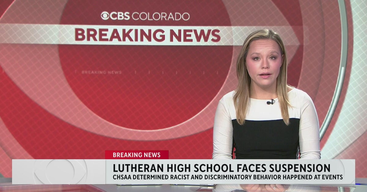 Colorado's Lutheran High School athletic department on probation following racist behavior
CBS News Colorado's Lutheran High School athletic department on probation following racist behavior Meet "Barrel Baby" the newest Denver Broncos fan inducted into the Orange Zone RTD provides affordable options to get…
-
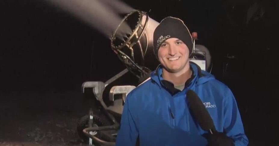 First Alert Weather Tracker heads to A-Basin Ski Area where snow guns are creating snow
CBS News First Alert Weather Tracker heads to A-Basin Ski Area where snow guns are creating snow RTD provides affordable options to get to the Denver Broncos game against Seattle Seahawks First Alert Weather Tracker…
-
 First Alert Weather Tracker follows the snow falling in the mountains
CBS News First Alert Weather Tracker follows the snow falling in the mountains RTD provides affordable options to get to the Denver Broncos game against Seattle Seahawks O is for Orangutan in A to Z with Alex Lehnert…
-
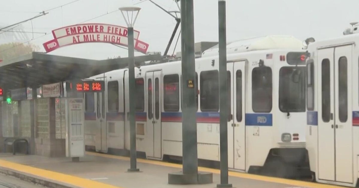 RTD provides affordable options to get to the Denver Broncos game against Seattle Seahawks
CBS News RTD provides affordable options to get to the Denver Broncos game against Seattle Seahawks First Alert Weather Tracker follows the snow falling in the mountains O is for Orangutan in A to Z with Alex Lehnert…
-
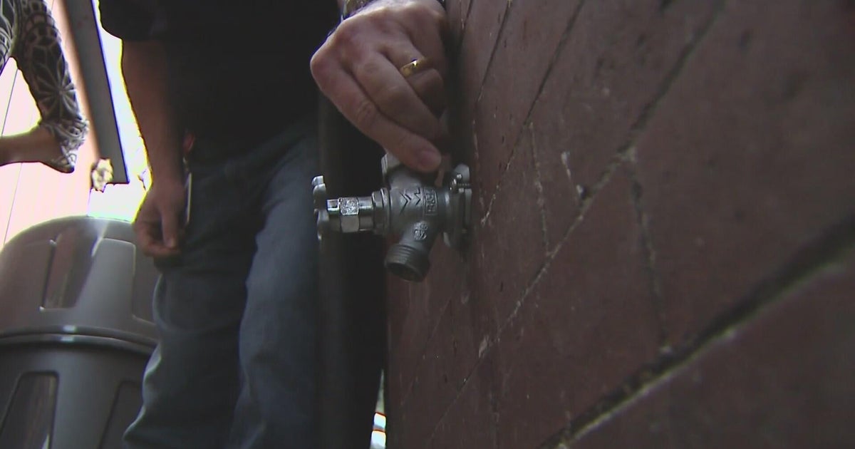 Denver braces for potentially freezing temperatures
CBS News Denver braces for potentially freezing temperatures Film fans can get tickets to Sundance in Boulder starting tomorrow Proposition 134 & 135 address rights of transgender teens in Colorado More rain and snow…
-
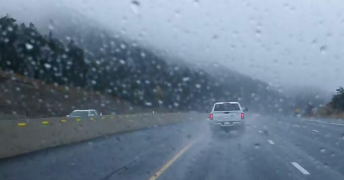 Aurora Water managers welcome rain, but more importantly snow in the mountains
CBS News Aurora Water managers welcome rain, but more importantly snow in the mountains Film fans can get tickets to Sundance in Boulder starting tomorrow Proposition 134 & 135 address rights of transgender teens in…
-
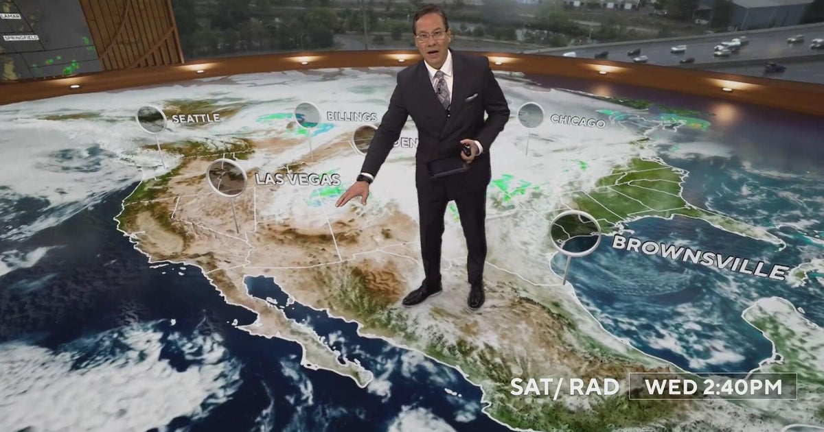 More rain and snow into Thursday morning with Denver's first freeze on the way
CBS News More rain and snow into Thursday morning with Denver's first freeze on the way Proposition 134 & 135 address rights of transgender teens in Colorado Republican Ken Buck endorses Democrat Phil Weiser for…
-
 Soaking rain on the way before a big temperature drop in Southwest Idaho
Enjoy Wednesday's warmth because a significant change in our weather arrives later this week. Wednesday stays mainly dry and unseasonably warm across the Treasure Valley, with Boise climbing to around 76 degrees. Clouds…
-
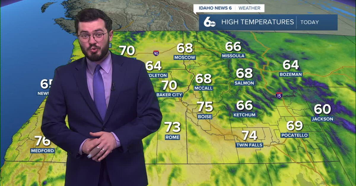 Thunderstorms expected to roll into Idaho soon
Idaho will continue to enjoy nice skies and above average temperatures but further in the week, storms are set to roll in. Clear and pretty mild weather is on the way for our Tuesday with temperatures peaking in the mid…
Air quality
Air quality is satisfactory, and air pollution poses little or no risk.
Ontario, OR reporting area · 1 hr ago. Data from AirNow (EPA and its state, local and tribal partners); preliminary and subject to change.
Sun & moon
Almanac
MonthlyOntario Area, records since 1945. Normals 1991–2020. Data from NOAA's Regional Climate Centers (ACIS).
Nearby
Forecasters' discussion
From the National Weather Service office in BOI, issued 2 hrs ago
Key Messages
- A chance of showers will spread northward into the area tonight, then become widespread Thursday and Thursday night. There is a slight chance of thunderstorms this afternoon/evening, then a better chance Thursday afternoon and evening.
- Thunderstorms Thursday afternoon into evening will be capable of isolated severe wind gusts/hail in Southwest Idaho.
- Becoming windy late Thursday night behind a cold front, with much cooler conditions Friday.
Boi Watches
ID...None.
OR...None.
Forecasts, observations and alerts in the United States come from the National Weather Service (NOAA); radar from NOAA's Multi-Radar Multi-Sensor system; satellite imagery from NASA's Global Imagery Browse Services (GIBS) and NOAA's GOES satellites; the map from the U.S. Geological Survey's National Map; air quality from AirNow (EPA and its partners); hurricane information from the National Hurricane Center; climate normals and records from NOAA's Regional Climate Centers (ACIS). Forecasts outside the United States and the UV index: MET Norway (CC BY 4.0); observations outside the U.S.: airport reports via NOAA's Aviation Weather Center. Place names: GeoNames (CC BY 4.0). Data are copied on a schedule and may lag the sources; for warnings that affect your safety, follow your local National Weather Service office and emergency officials. Weather news is drawn from the 4Conservative index and reflects what the press published. Terms of use.