Install
Aspen, CO 81612 Weather
Current conditions
Forecast for this hour (no station report in the last two hours)
Forecast
10-day-
Today
Rain showers likely before noon, then showers and thunderstorms likely. Cloudy, with a high near 58. East southeast wind 5 to 10 mph. Chance of precipitation is 70%.
-
Tonight
Rain showers before midnight, then showers and thunderstorms likely. Mostly cloudy, with a low around 41. East southeast wind 5 to 15 mph, with gusts as high as 25 mph. Chance of precipitation is 80%.
-
Friday
A chance of showers and thunderstorms before 1pm. Mostly sunny, with a high near 58. South wind 5 to 10 mph, with gusts as high as 25 mph. Chance of precipitation is 30%.
National Weather Service forecast updated 3 hrs ago.
Hourly
Hourly forecast- Now52°63%
- 2 PM54°57%
- 3 PM56°52%
- 4 PM54°59%
- 5 PM54°66%
- 6 PM52°74%
- 7 PM50°75%
- 8 PM48°76%
- 9 PM49°78%
- 10 PM48°73%
- 11 PM47°69%
- Fri12 AM46°65%
- 1 AM46°62%
- 2 AM45°60%
- 3 AM45°58%
- 4 AM44°50%
- 5 AM43°42%
- 6 AM42°34%
- 7 AM42°33%
- 8 AM42°31%
- 9 AM43°30%
- 10 AM46°25%
- 11 AM48°20%
- 12 PM52°15%
10-day forecast
Details- TodayOct 22Rain Showers Likely78%41°58°
- FriOct 23Chance Showers And Thunderstorms34%34°58°
- SatOct 24Partly Sunny then Showers And Thunderstorms Likely83%34°58°
- SunOct 25Slight Chance T-storms51%30°52°
- MonOct 26Slight Chance Snow Showers22%29°52°
- TueOct 27Sunny29°55°
- WedOct 28Sunny30°54°
- ThuOct 29Sunny28°51°
- FriOct 30Partly cloudy30°52°
- SatOct 31Partly cloudy29°49°
Days after the National Weather Service's seven are MET Norway's outlook, a computer model with no forecaster's review.
Radar
Full mapWeather news near Aspen
More weather news-
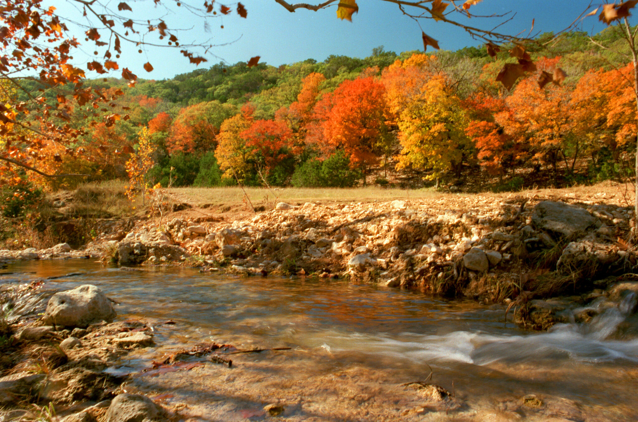 When will fall foliage peak across Texas? Here’s a timeline.
Maple trees are turning colors at Lost Maples State Nature Area near Vanderpool. The park is a popular destination in the fall, and reservations are recommended. Fall weather finally arrived across all of Texas last…
-
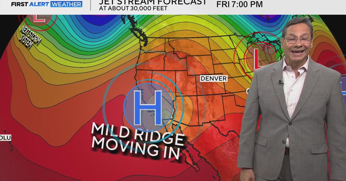 Mild mannered stretch kicks off this weekend
CBS News Mild mannered stretch kicks off this weekend CBS Colorado's Dave Aguilera shares love of meteorology with elementary school students Off-duty Colorado deputy, bystanders rescue driver from burning vehicle…
-
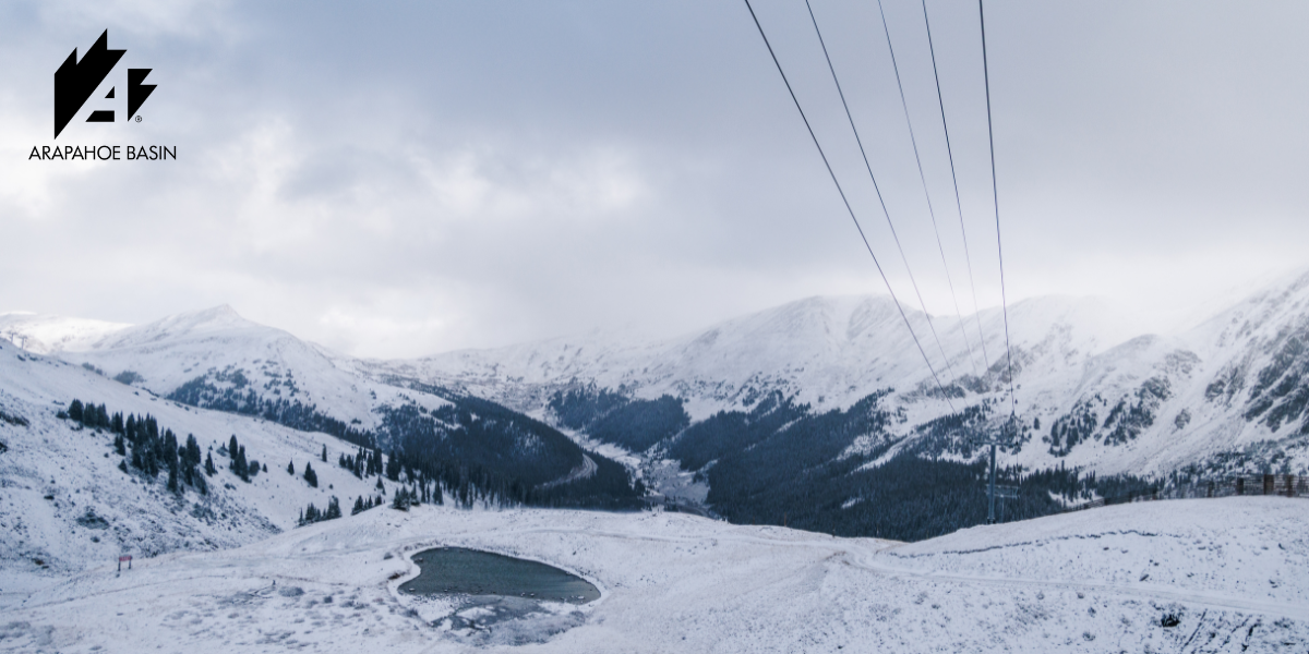 October Storms Bring Fresh Snow to Ikon Pass Country
From the Wasatch to the Rockies and European peaks, early snowfall signals the approach of the 2026–27 ski season. Winter is beginning to show itself across Ikon Pass country, with October storms bringing fresh snow to…
-
 OCTOBER STORMS BLANKET IKON PASS COUNTRY WITH SNOW
Winter weather is showing up across many Ikon Pass destinations, with fresh snow falling across Colorado, Utah, California, Montana, Wyoming, Idaho, and Europe. With more snow on the way this week, it’s time to seek…
-
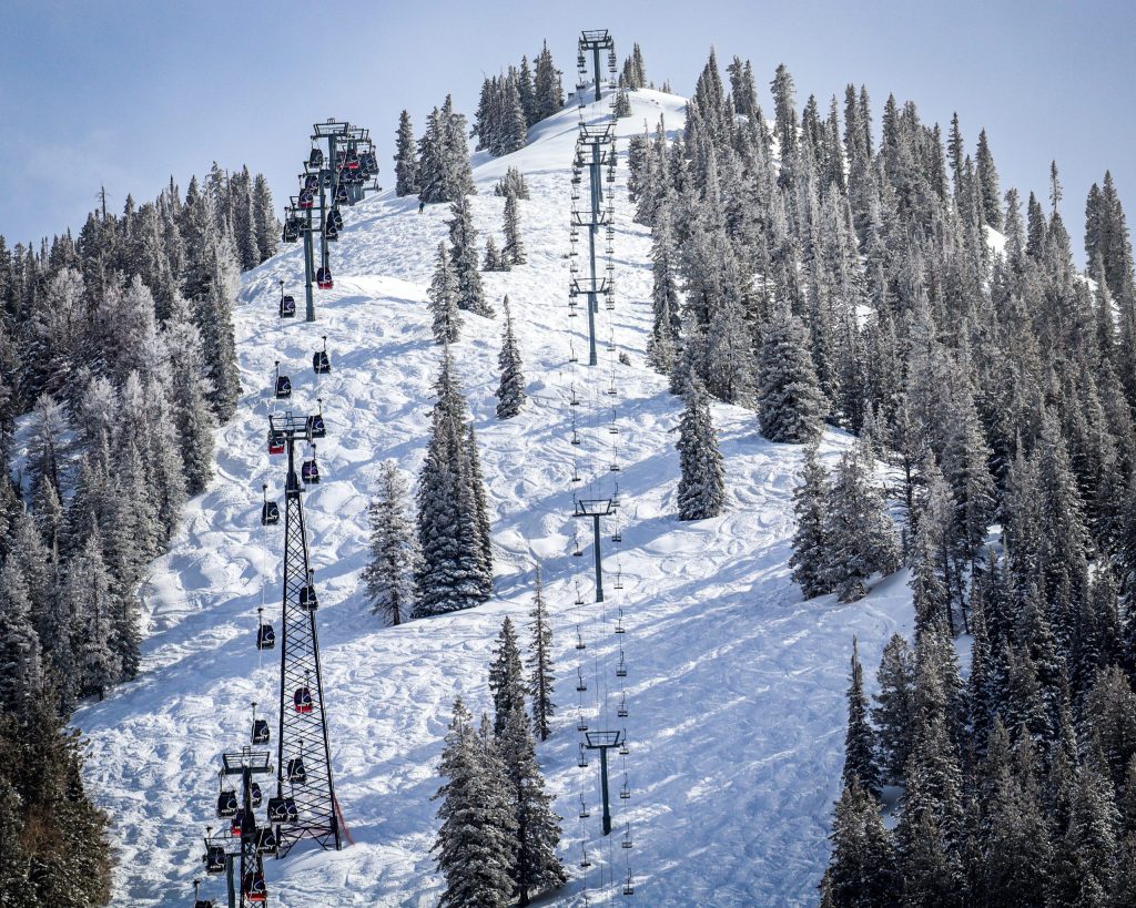 Colorado mountains see first real snow of the season, with more on the way
NewsNews | Oct 14, 2026 As rain transitions to snow in the forecast, several Colorado mountains are preparing to receive their first meaningful snow of the season. As of Wednesday morning, Oct. 14, weather station…
-
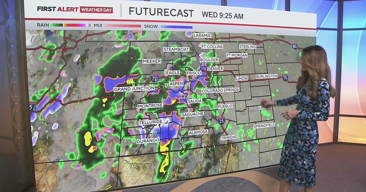 Measurable rain for the Denver metro, with some heavy snow in the mountains
CBS News Measurable rain for the Denver metro, with some heavy snow in the mountains Medina Alert issued for blue 2010 Toyota Prius after driver strikes pedestrian, leaves scene Man accused of shooting teen suspected of…
-
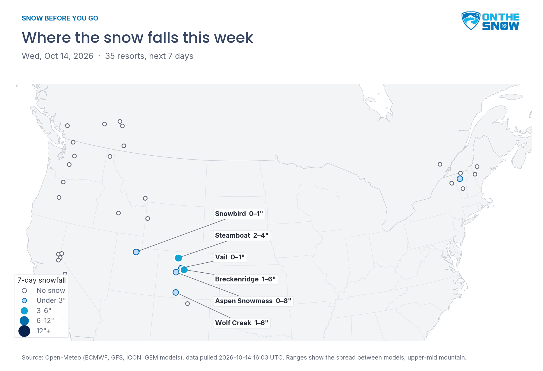 Snow Before You Go: Where to Find the Best Snow This Week
OnTheSnow.com Colorado gets a real taste of winter today through Thursday. Steamboat picks up 2–4 inches, and Breckenridge, Aspen Snowmass, and Wolf Creek could see a few inches each, though the models disagree on how…
-
 Periods of valley rain & mountain snow with winter weather advisories, clearing Thursday afternoon
KJCT GRAND JUNCTION, Colo. (KJCT) - Periods of rain in the valleys with mountain snow continuing until Thursday afternoon. Near and cooler than normal temperatures this week. Weather Alert: Winter Weather Advisory A…
-
 Colorado Winter Weather Advisory: Up to 12 Inches of Snow Expected as Winter Storm Approaches
DENVER, Aktualita.co — Colorado is preparing for a significant round of early-season winter weather as the National Weather Service (NWS) issues multiple Winter Weather Advisories across the state's mountain regions…
-
 Snowfall to reach double digits on some Western Slope mountains
Colorado’s High Country could see up to 12 inches of snow through Thursday morning as a storm moves through the western mountains, according to a winter weather advisory published by the National Weather Service. Snow…
Air quality
Air quality is satisfactory, and air pollution poses little or no risk.
Forecast
- ThuGood
- FriGood
Aspen, CO reporting area · 1 hr ago. Data from AirNow (EPA and its state, local and tribal partners); preliminary and subject to change.
Sun & moon
Almanac
MonthlyAspen Pitkin County Ap Sardy Field, records since 1998. Normals 1991–2020. Data from NOAA's Regional Climate Centers (ACIS).
Nearby
- Edwards 53 km
- Glenwood Springs 53 km
- Gypsum 47 km
- Eagle 48 km
- Carbondale 35 km
- Avon 55 km
- Basalt 21 km
- El Jebel 26 km
- Snowmass Village 5 km
- Leadville 51 km
Forecasters' discussion
From the National Weather Service office in GJT, issued 7 hrs ago
Key Messages
- Widespread rain continues through early Friday.
- Strong to severe thunderstorms will be possible favoring southeastern Utah and far Western Colorado generally from I-70 south through tonight.
- The potential for flooding increases today and Friday, especially for portions of southeast Utah and southwest Colorado.
- Rainfall amounts in the southern mountains range from 1-3 inches with higher amounts of 2-4" or more possible in the San Juans and southern foothills.
Discussion
Issued at 1038 PM MDT Wed Oct 21 2026
A deep trough off the West Coast and High pressure to the southeast near Big Bend is keeping the Desert Southwest under a strong south to southwesterly flow aloft advecting deep subtropical moisture north through Arizona into eastern Utah and Western Colorado. Models are in good agreement with satellite imagery showing the low just turning the corner in the base of the trough off the SoCal Coast before ejecting to the northeast into the Great Basin Thursday evening and continuing into Montana Friday evening taking most of the moisture with it. Meanwhile, another shortwave system descending into the trough Friday cuts off over SoCal Friday night to eject farther east over the region Saturday night into Sunday to keep unsettled weather in the forecast through the weekend. Models stay in fairly good agreement through the weekend, but are diverging on the timing and track of the second system by Sunday with some solutions tracking it to the west over northern Utah. The models do generally agree on setting up a dry zonal flow across the region next week that could extend into the next weekend, but that a long way out and confidence is lot on the extended period.
Today we saw quieter showers with rain rates remaining on the low side only around a half inch per hour in the heavier showers. Even though we had strong vertical sheer and plenty moisture on hand, with all the heavy cloud cover and the warm air aloft, we just didn't have any CAPE to feed stronger storms. Both the 18Z and 00Z soundings showed a saturated atmosphere nearly up to 200mb for efficient rain making, but with zero CAPE there wasn't the strong convection. That being said, much of the southern half of the region still received an inch or more rain today saturating the soil with water and priming the area for flash flooding should heavier showers come overnight into tomorrow.
These conditions look to change overnight into tomorrow as we come more under the influence of the trough to the west cooling the air aloft to provide some CAPE to support convection. Additionally, upper- level dynamics increase as a 70-90 kt jet moves in over the region. The primary concern with convection will be strong winds over 60 mph possible as the winds aloft mix down. The atmosphere remains saturated through the day, making localized heavy rain in showers and thunderstorms much more likely leading to flash flooding, especially near recent fire scars and areas prone to flooding like slot canyons and steep terrain. Stay tuned to the forecast for updates as weather develops through the day. Drier air starts moving into the region late tomorrow which looks to scatter out the showers and thunderstorms, but also looks to increase the potential for stronger thunderstorms overnight into Friday. Most of the moisture is swept out of the region Friday limiting convective activity through the afternoon, but has the second low starts moving in from the west, showers and thunderstorms will pick up again Friday night into Saturday feeding on the residual moisture and continue through Saturday night and Sunday as the low tracks over the region. The storms move on off to the east as a zonal pattern sets up across the region Sunday night through mid next week.
Aviation
Issued at 525 AM MDT Thu Oct 22 2026
Widespread rain and rainshowers continue today with some thunderstorms possible from KMTJ southward this afternoon. Low ceilings will be common as will visibilities under the stronger cells. Conditions will fluctuate between VFR down to IFR through the day with the worst conditions expected south of the I-70 corridor. ILS breakpoints will be met for most TAF sites thanks to the same low ceilings and visibilities. Generally light winds are expected though gusty outflows can be expected near any showers or storms. Flight conditions will slowly improve after 12Z tomorrow, if not a bit before.
Hydrology
Issued at 257 PM MDT Wed Oct 21 2026
Hydrologic concerns remain elevated through Friday due to the influx of highly anomalous tropical moisture across the 4 Corners area into the Central Rockies. Potential hazards include localized flash flooding from thunderstorms producing heavy rainfall rates and river flooding due to a prolonged period of widespread moderate to heavy rainfall.
Southeast Utah and the lower valleys along the CO/NM border will be under the highest threat of strong to severe thunderstorms capable of producing flash flooding across desert floors and dry washes the through tomorrow evening.
There is a moderate risk of excessive rainfall leading to flooding across portions of the San Juans and adjacent southerly valleys where precipitation totals of 2 to 4 inches will be possible. The bulk of this precipitation will fall overnight through early Friday morning. Higher precipitation totals over portions of the southern San Juans of 4 to 5 inches are definitely possible. An additional concern of rain on snow leading to additional runoff making it into the waterways. Snow levels are forecast above 12-13 kft throughout the day Thursday, which will likely result in melting of some of the existing early-season snow pack. The combined runoff from rain and rain- on-snow will result in a rapid rise in many of our creeks, streams and rivers. Modeled responses suggest several rivers reaching bankfull or higher at river forecast points across southwest Colorado and southeast Utah. The highest confidence in minor flooding and related impacts along the San Juan River, Piedra, Animas, La Plata Rivers and above Vallecito Reservoir. However, other creeks and tributaries within the Four Corners region remain susceptible. All river responses are heavily dependent on where the heaviest precipitation falls, so please continue to monitor the forecast as the week unfolds.
Forecasts, observations and alerts in the United States come from the National Weather Service (NOAA); radar from NOAA's Multi-Radar Multi-Sensor system; satellite imagery from NASA's Global Imagery Browse Services (GIBS) and NOAA's GOES satellites; the map from the U.S. Geological Survey's National Map; air quality from AirNow (EPA and its partners); hurricane information from the National Hurricane Center; climate normals and records from NOAA's Regional Climate Centers (ACIS). Forecasts outside the United States and the UV index: MET Norway (CC BY 4.0); observations outside the U.S.: airport reports via NOAA's Aviation Weather Center. Place names: GeoNames (CC BY 4.0). Data are copied on a schedule and may lag the sources; for warnings that affect your safety, follow your local National Weather Service office and emergency officials. Weather news is drawn from the 4Conservative index and reflects what the press published. Terms of use.