Install
Silverthorne, CO 80498 Weather
Current conditions
Observed at Copper Mountain - Red Cliff Pass · 1 hr ago
Forecast
10-day-
Tonight
A chance of rain showers. Mostly cloudy, with a low around 34. South southwest wind around 8 mph. Chance of precipitation is 50%. New rainfall amounts less than a tenth of an inch possible.
-
Thursday
Rain showers. Mostly cloudy. High near 50, with temperatures falling to around 47 in the afternoon. South wind around 7 mph. Chance of precipitation is 80%. New rainfall amounts less than a tenth of an inch possible.
-
Thursday Night
Rain showers likely. Mostly cloudy, with a low around 35. South wind 5 to 10 mph, with gusts as high as 17 mph. Chance of precipitation is 60%.
National Weather Service forecast updated 10 hrs ago.
Hourly
Hourly forecast- Now38°48%
- Thu12 AM37°33%
- 1 AM37°33%
- 2 AM36°33%
- 3 AM36°27%
- 4 AM35°27%
- 5 AM35°27%
- 6 AM35°46%
- 7 AM34°46%
- 8 AM36°46%
- 9 AM40°61%
- 10 AM43°61%
- 11 AM45°61%
- 12 PM45°76%
- 1 PM47°76%
- 2 PM47°76%
- 3 PM48°60%
- 4 PM49°60%
- 5 PM47°60%
- 6 PM45°51%
- 7 PM43°51%
- 8 PM41°51%
- 9 PM41°55%
- 10 PM41°55%
10-day forecast
Details- TonightOct 21Chance Rain Showers48%34°
- ThuOct 22Rain Showers76%35°50°
- FriOct 23Slight Chance Rain Showers24%28°49°
- SatOct 24Partly Sunny then Slight Chance T-storms<0.1 in snow75%28°43°
- SunOct 25Slight Chance T-storms0.3 in snow62%26°43°
- MonOct 26Slight Chance Snow Showers<0.1 in snow20%23°43°
- TueOct 27Mostly Sunny10%23°44°
- WedOct 28Mostly Sunny43°
- ThuOct 29Mostly sunny28°48°
- FriOct 30Light rain0.03 in28°46°
Days after the National Weather Service's seven are MET Norway's outlook, a computer model with no forecaster's review.
Radar
Full mapWeather news in Colorado
More weather news-
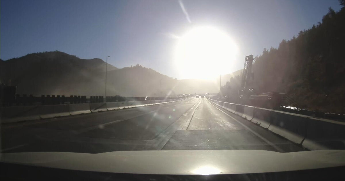 Bright sun glare prompts I-70 closures in Colorado's mountains, from sunrise to mid-morning
October 21, 2026 / 9:43 AM MDT / CBS Colorado As the days get shorter with winter approaching, drivers in Colorado traveling on I-70 will start running into a new issue: sun glare while they are driving. The Colorado…
-
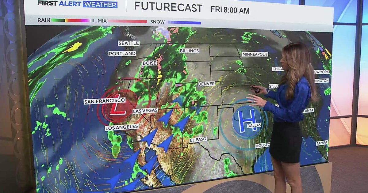 Southwest Colorado braces for heavy rain while dry and warm weather continue for Denver
CBS News Southwest Colorado braces for heavy rain while dry and warm weather continue for Denver I-25 expansion project in Northern Colorado nears completion Ugandan priest released from ICE custody after more than a…
-
 Warm temps to mean inches of rain instead of 26″ of snow in Colorado
Denver Gazette Significant rainfall is expected in Colorado over upcoming hours, likely to result in debris flows and flash flooding in the southwest region of the state. Per a report from the National Weather Service…
-
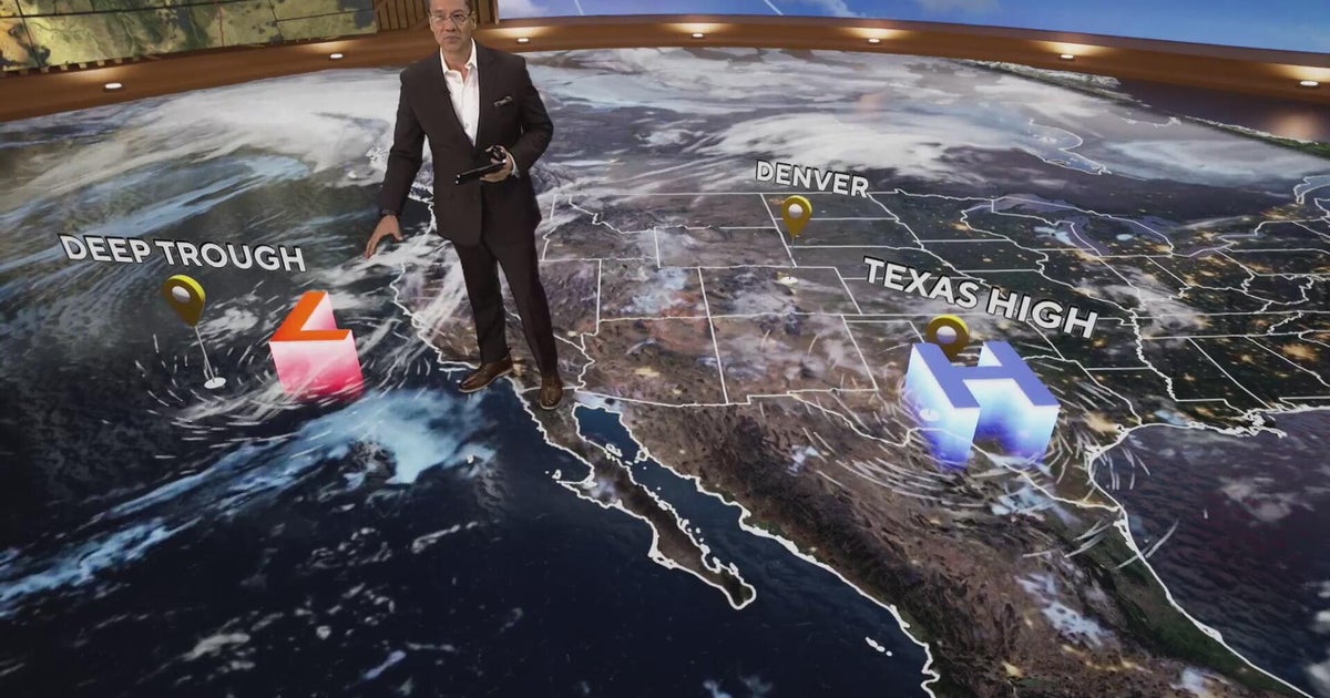 More clouds for Front Range with flooding rains heading to southwest Colorado
CBS News More clouds for Front Range with flooding rains heading to southwest Colorado MS misdiagnoses raise concerns, Colorado doctors warn of unnecessary treatment risks College bound Coloradans get ready for state…
-

-
 Heavy rain could bring flash flooding to New Mexico, southwest Colorado through Friday
KRQE A strong storm system will bring widespread rain to New Mexico and southwest Colorado starting Wednesday, with several inches of rain possible in some areas through Friday Heavy rainfall could lead to flash…
-
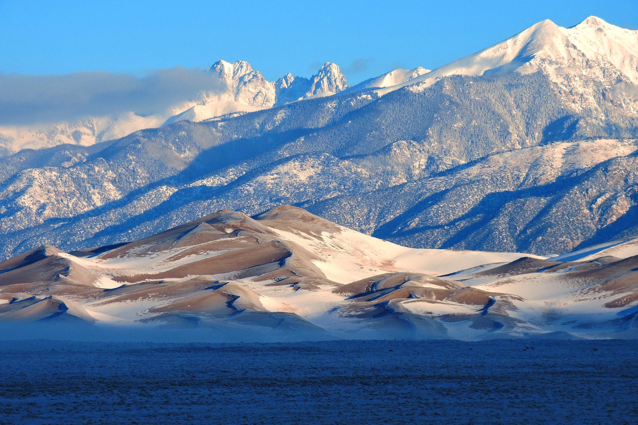 5 El Niño myths, busted. Here's what the 'Godzilla' El Niño could really mean for Colorado
Snow on Star Dune and Crestone Peaks in Great Sand Dunes National Park and Preserve. As a record-breaking El Niño continues to strengthen in the Pacific Ocean, the world is entering uncharted territory. As El Niño…
-
 A warm week is on tap for southern Colorado with mountain shower chances
KOAA News 5 Tonight's Forecast:Overnight lows continue to stay mild in the 40s for most Not much cloud cover is expected into the overnight while southern Colorado stays dry.Colorado Springs forecast: Low: 46; High…
-
 Heavy rain and flash flooding possible in New Mexico, southwest Colorado this week
KRQE A strong storm system will bring widespread rain to New Mexico and southwest Colorado Wednesday through Friday Heavy rainfall could lead to flash flooding, especially Thursday and Friday Several inches of rain are…
-
 More snow on the way for Colorado’s Western Slope as temperatures drop
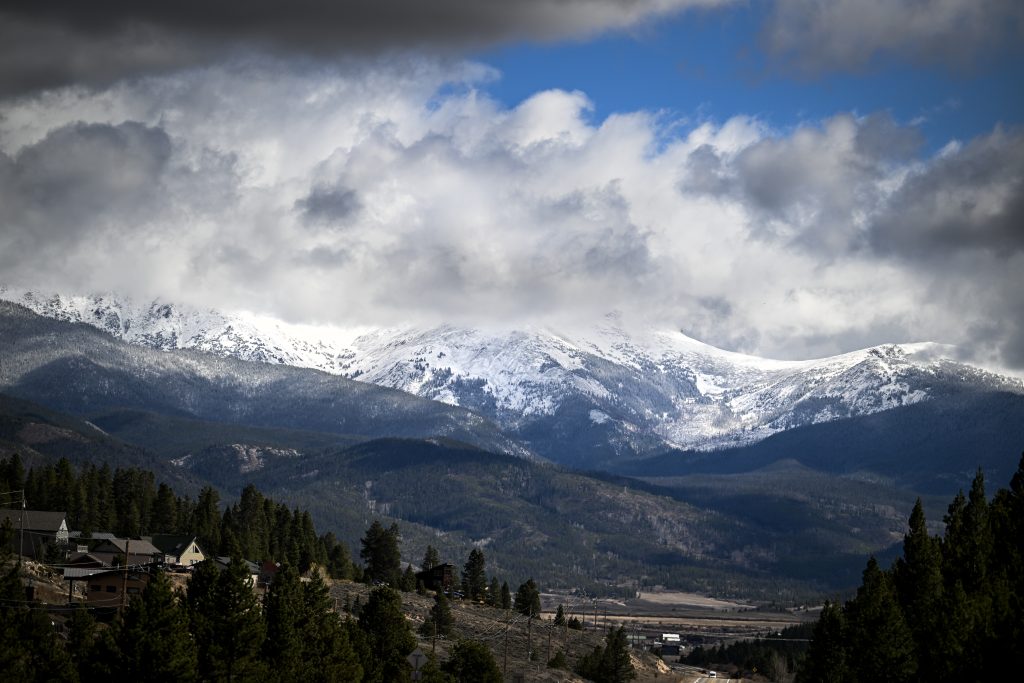
NewsNews | Oct 19, 2026 October is bringing in another round of stormy weather to wrap up the cooling month, translating into rain — and later, snow — for parts of western Colorado. So far, this October has been “wetter…
Sun & moon
Almanac
MonthlyDillon 1 E, records since 1910. Normals 1991–2020. Data from NOAA's Regional Climate Centers (ACIS).
Nearby
Forecasters' discussion
From the National Weather Service office in BOU, issued 6 hrs ago
Key Messages
- Warm and dry conditions continue across the lower elevations for the next few days, with scattered light rain and snow showers across the higher elevations.
- Cooler, more unsettled weather returns this weekend across the forecast area.
- At least a brief warm-up likely sometime early next week.
Bou Watches
None.
Forecasts, observations and alerts in the United States come from the National Weather Service (NOAA); radar from NOAA's Multi-Radar Multi-Sensor system; satellite imagery from NASA's Global Imagery Browse Services (GIBS) and NOAA's GOES satellites; the map from the U.S. Geological Survey's National Map; air quality from AirNow (EPA and its partners); hurricane information from the National Hurricane Center; climate normals and records from NOAA's Regional Climate Centers (ACIS). Forecasts outside the United States and the UV index: MET Norway (CC BY 4.0); observations outside the U.S.: airport reports via NOAA's Aviation Weather Center. Place names: GeoNames (CC BY 4.0). Data are copied on a schedule and may lag the sources; for warnings that affect your safety, follow your local National Weather Service office and emergency officials. Weather news is drawn from the 4Conservative index and reflects what the press published. Terms of use.