Install
Lubbock, TX 79408 Weather
Current conditions
Observed at Plainview, Hale County Airport · 1 hr ago
Forecast
10-day-
Friday
Mostly cloudy, with a high near 77. South wind 10 to 15 mph, with gusts as high as 30 mph.
-
Friday Night
Mostly cloudy, with a low around 58. South southeast wind 10 to 15 mph, with gusts as high as 30 mph.
-
Saturday
Mostly cloudy, with a high near 73. South southeast wind 10 to 15 mph, with gusts as high as 25 mph.
National Weather Service forecast updated 19 hrs ago.
Hourly
Hourly forecast- Now59°
- 8 AM58°
- 9 AM60°
- 10 AM64°
- 11 AM67°
- 12 PM69°
- 1 PM72°
- 2 PM74°
- 3 PM75°
- 4 PM76°
- 5 PM77°
- 6 PM75°
- 7 PM74°
- 8 PM72°
- 9 PM70°
- 10 PM68°
- 11 PM66°
- Sat12 AM65°
- 1 AM64°
- 2 AM63°
- 3 AM61°
- 4 AM60°
- 5 AM59°
- 6 AM59°
10-day forecast
Details- ThuOct 22Partly Sunny58°81°
- TodayOct 23Mostly Cloudy58°77°
- SatOct 24Mostly Cloudy47%59°73°
- SunOct 25Showers And Thunderstorms84%56°68°
- MonOct 26Showers And Thunderstorms Likely68%51°68°
- TueOct 27Chance Showers And Thunderstorms49%50°65°
- WedOct 28Mostly Sunny53°69°
- ThuOct 29Cloudy0.06 in49°62°
- FriOct 30Cloudy46°57°
- SatOct 31Cloudy53°68°
Days after the National Weather Service's seven are MET Norway's outlook, a computer model with no forecaster's review.
Radar
Full mapWeather news near Lubbock
More weather news-
 Warming trend to continue through work week; rain returns by weekend
LUBBOCK, Texas (KCBD) - Temperatures will climb into the 70s today and hold there through much of the week as a warming trend takes hold across the region. A few light showers and rumbles of thunder may develop as…
- High 70s this week, cooler this weekend
KCBD High 70s this week, cooler this weekend KCBD Midday Weather Update - Monday, Oct. 19 Good Day Lubbock Weather - Monday, Oct. 19
- KCBD Midday Weather Update - Monday, Oct. 19
KCBD KCBD Midday Weather Update - Monday, Oct. 19 Good Day Lubbock Weather - Monday, Oct. 19
- Warming Trend Through the Week
LUBBOCK, Texas (KCBD) - The South Plains area is in for a pleasant stretch through Friday. Dry conditions and temperatures gradually warming. Of course, this time of year, don’t get too comfortable. The weekend will…
-
 Fairly mild and typical fall weather this week.
Few clouds and warming...better chances of rain late week and into next weekend. LUBBOCK, Texas (KCBD) - Today’s warming trend should continue through the week with scattered clouds. The temperatures will climb closer…
-
 Breezy Sunday before temperatures warm up this week
Expect mostly clear skies and temperatures in the 60s across the South Plains Winds will pick up around daybreak and stay breezy throughout much of the day. Generally, south to southwest 10-20 mph with gusts up to 30…
-
 Chance for a freeze overnight
KCBD Chance for a freeze overnight News @ Noon First Alert Forecast, October 16 Good Day Lubbock Weather - Friday, Oct. 16 KCBD Midday Weather Update - Thursday, Oct. 15
-
 Car Pro Tips: How To Prepare For The Lubbock Freeze
We have a freeze watch heading our way in Lubbock and the surrounding counties this weekend. This means that after we've protected our plants, outdoor water faucets, and our pets, we turn now to our parked cars. In…
-
 Jacket weather continues
KCBD News @ Noon First Alert Forecast, October 16 Good Day Lubbock Weather - Friday, Oct. 16 KCBD Midday Weather Update - Thursday, Oct. 15
-
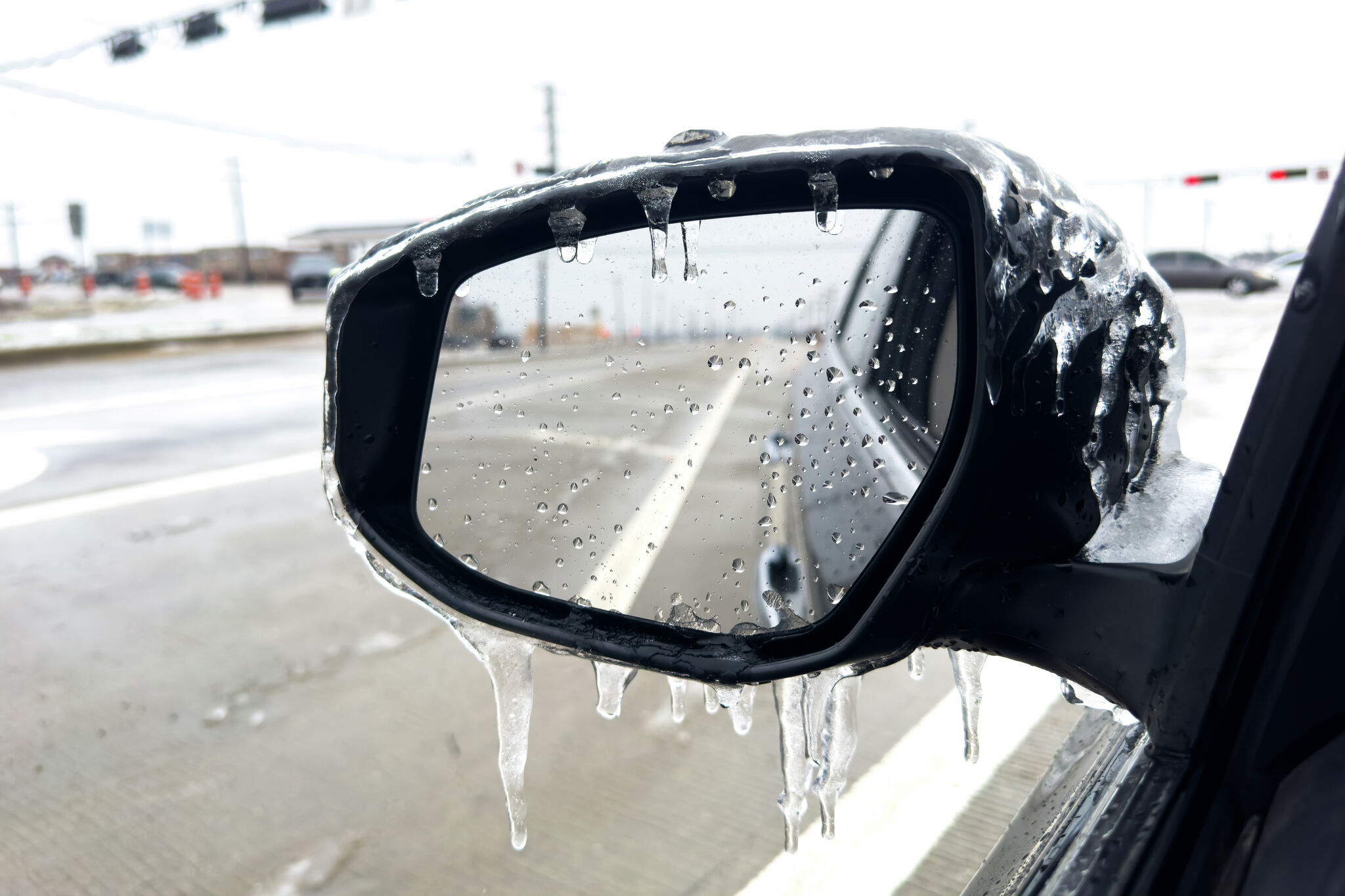 Freeze warning issued for parts of Texas. Here's the forecast.
Freeze warning issued for parts of the Texas Panhandle. A freeze warning has been issued for parts of the Texas Panhandle as a strong cold front sweeps through the state. The National Weather Service’s Amarillo office…
Air quality
Air quality is satisfactory, and air pollution poses little or no risk.
Forecast
- FriGood
- SatGood
- SunGood
Lubbock, TX reporting area · 1 hr ago. Data from AirNow (EPA and its state, local and tribal partners); preliminary and subject to change.
Sun & moon
Almanac
MonthlyLubbock Intl Ap, records since 1947. Normals 1991–2020. Data from NOAA's Regional Climate Centers (ACIS).
Nearby
- Levelland 42 km
- Brownfield 54 km
- Littlefield 54 km
- Slaton 30 km
- Wolfforth 10 km
- Abernathy 31 km
- Tahoka 46 km
- Shallowater 15 km
- Idalou 25 km
- Hale Center 56 km
Forecasters' discussion
From the National Weather Service office in LUB, issued 1 hr ago
Key Messages
Updated at 606 AM CDT Fri Oct 23 2026
- Showers and storms return this weekend into next week, favoring areas on the Caprock this weekend before expanding area-wide early next week. Locally heavy rain is possible.
Short Term
(Through Friday night) Issued at 1011 PM CDT Thu Oct 22 2026
The amplified upper pattern remains in place, with a ridge axis extending from the south-central Plains to the Great Lakes and a deep trough over the west coast. This system has brought severe storms and instances of flooding to AZ/NM in recent days, but will be quite slow to progress into our forecast area.
Dewpoints across the FA were in the low to mid 50s Thurs eve, but as a meridionally oriented LLJ kicks in overnight models depict a plume of higher dewpoint air (upper 50s/low 60s) advecting northward from South Texas. This introduces potential for stratus or fog development Fri AM, particularly across the South Plains where the moisture advection will be focused. HREF members aren't too bullish about the fog potential (less than 20% chance), but a few early evening runs of the HRRR depicted pockets of dense fog. HREF members are more indicative of stratus, however, with a 60-80% chance of ceilings below 2 kft AGL along and west of I-27 Friday morning.
During the day on Friday, pressure falls occur over eastern MT, with MSLP falling to around 998 mb, which will lead to a tightening pressure gradient across the Plains. Modestly breezy winds can be anticipated, with southerly winds sustained around 15-20 mph, gusting as high as 30 mph. Thicker cloud cover and subtle thickness decreases in response to the approaching upper trough favor slightly cooler temps on Fri compared to the previous two days. While precip activity draws closer to the forecast area, CAMs keep the activity focused across eastern NM on Fri, west of the TX/NM Border.
Long Term
(Saturday through next Thursday) Issued at 1011 PM CDT Thu Oct 22 2026
Deterministic models remain in pretty good agreement regarding the large scale pattern evolution through Tues. The main forecast trend continues to be a slower evolution of the upper low that cuts off over the SW US on Sat. This slower evolution translates to lower precip chances on Sat/Sun (especially off the Caprock). The upper low will also be weakening in time, so this slow trend means lower accumulation probs and lower impacts anticipated compared to previous forecasts. The highest PWAT values will be on the Caprock on Sun, with values around 1.15-1.25", and this time period offers the best window for flooding with any training storms. By Mon- Tues, PWAT values are closer to 1", which is still above normal but not quite as anomalous. Latest ensemble guidance gives a 30% chance of total rainfall exceeding 1" in Lubbock/Brownfield (through Tuesday), increasing to a 60% chance at Friona, but both of these values are lower than previous cycles. The probability of 1" of rain is even lower off the Caprock.
This system will result in temps trending cooler, in the 70s area- wide on Sat followed by mid 60s to mid 70s Sunday into next week. The breezy southeasterly winds continue through the weekend. Model solutions start to diverge beyond the middle of next week, but the upper pattern seems to stay active with additional troughs moving onshore the Pacific NW, perhaps supporting additional precip chances locally during the final days of October.
Aviation
(12Z TAFS) Issued at 606 AM CDT Fri Oct 23 2026
VFR conditions will prevail. Southerly winds are expected to pick up through the afternoon and early evening hours. MVFR clouds will fill in near KLBB from the south in the next couple of hours, however are not expected to impact conditions. These low clouds are not expected near KPVW or KCDS.
Forecasts, observations and alerts in the United States come from the National Weather Service (NOAA); radar from NOAA's Multi-Radar Multi-Sensor system; satellite imagery from NASA's Global Imagery Browse Services (GIBS) and NOAA's GOES satellites; the map from the U.S. Geological Survey's National Map; air quality from AirNow (EPA and its partners); hurricane information from the National Hurricane Center; climate normals and records from NOAA's Regional Climate Centers (ACIS). Forecasts outside the United States and the UV index: MET Norway (CC BY 4.0); observations outside the U.S.: airport reports via NOAA's Aviation Weather Center. Place names: GeoNames (CC BY 4.0). Data are copied on a schedule and may lag the sources; for warnings that affect your safety, follow your local National Weather Service office and emergency officials. Weather news is drawn from the 4Conservative index and reflects what the press published. Terms of use.