Install
Tahoka, TX Weather
Current conditions
Observed at Lubbock, Lubbock International Airport · 43 min ago
Forecast
10-day-
Sunday
A chance of showers and thunderstorms before 7am, then a chance of showers and thunderstorms between 7am and 4pm, then a slight chance of showers and thunderstorms. Cloudy, with a high near 70. South southeast wind around 15 mph, with gusts as high as 25 mph. Chance of precipitation is 50%. New rainfall amounts between a tenth and quarter of an inch possible.
-
Sunday Night
A slight chance of showers and thunderstorms before 7pm. Cloudy, with a low around 58. South southeast wind 10 to 15 mph. Chance of precipitation is 20%. New rainfall amounts less than a tenth of an inch possible.
-
Monday
A slight chance of rain showers between 7am and 1pm, then a chance of showers and thunderstorms. Cloudy, with a high near 68. South southeast wind 10 to 15 mph. Chance of precipitation is 50%.
National Weather Service forecast updated 1 hr ago.
Hourly
Hourly forecast- Now62°25%
- 7 AM61°43%
- 8 AM60°43%
- 9 AM62°43%
- 10 AM64°46%
- 11 AM64°46%
- 12 PM65°46%
- 1 PM65°28%
- 2 PM66°28%
- 3 PM68°28%
- 4 PM68°19%
- 5 PM68°19%
- 6 PM69°19%
- 7 PM68°
- 8 PM67°
- 9 PM65°
- 10 PM65°
- 11 PM65°
- Mon12 AM64°
- 1 AM64°
- 2 AM63°
- 3 AM63°
- 4 AM62°
- 5 AM60°
10-day forecast
Details- TonightOct 24Chance Showers And Thunderstorms25%60°
- TodayOct 25Chance Showers And Thunderstorms46%58°70°
- MonOct 26Chance Showers And Thunderstorms50%56°68°
- TueOct 27Slight Chance Rain Showers then Mostly Sunny17%56°75°
- WedOct 28Mostly Sunny58°78°
- ThuOct 29Partly Sunny then Slight Chance Showers And Thunderstorms58%57°75°
- FriOct 30Showers And Thunderstorms Likely59%57°71°
- SatOct 31Chance Rain Showers then Partly Sunny43%77°
- SunNov 1Cloudy63°78°
- MonNov 2Cloudy0.08 in60°79°
Days after the National Weather Service's seven are MET Norway's outlook, a computer model with no forecaster's review.
Radar
Full mapWeather news in Texas
More weather news-
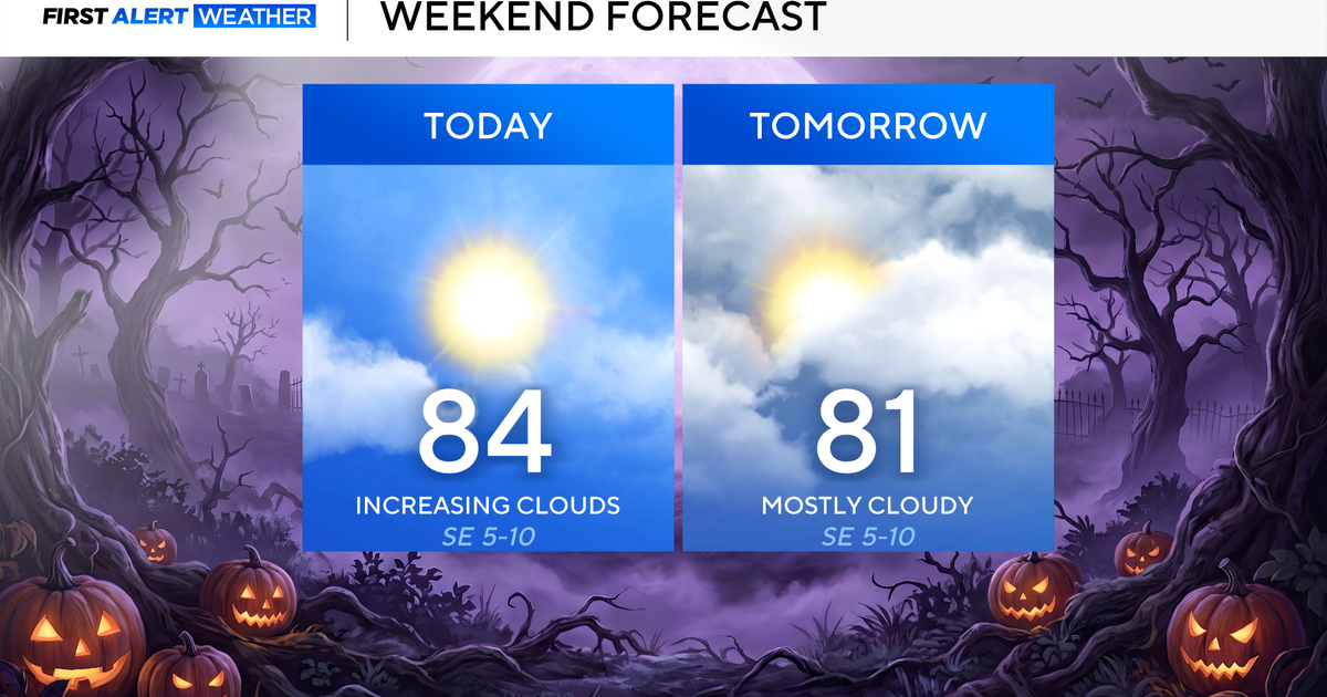 North Texas seeing rain chances return next week
October 24, 2026 / 7:21 AM CDT / CBS Texas North Texas was off to a seasonable start on Saturday morning, with temperatures mainly in the 50s. Temperatures will remain above average this weekend, with highs in the lower…
-
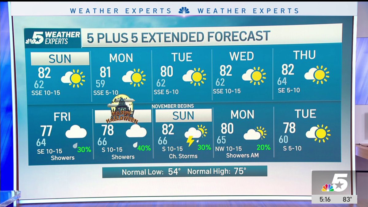 NBC 5 Forecast: A quiet weather pattern continues for North Texas
NBC 5 Dallas-Fort Worth NBC 5 Forecast: A quiet weather pattern continues for North Texas NBC 5 Forecast: Above normal temps, but still nice NBC 5 Forecast: Cool mornings and pleasant afternoons for North Texas
-
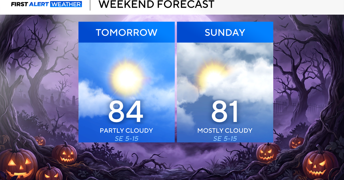 Clouds build in over the weekend as temperatures stay above average in the 80s across North Texas
October 23, 2026 / 8:00 AM CDT / CBS Texas North Texans are waking up to temperatures mainly in the 50s and 60s on Friday morning, with some clouds across portions of the area. In the afternoon and into the weekend…
- Video: What the Super El Niño Means for Texas This Winter
The Gilmer Mirror
-
 Josephine in Atlantic drifts away, but Pacific moisture might spoil Halloween for Texas
Subtropical Storm Josephine in the North Atlantic is racing away from the United States, while moisture from a strengthening eastern Pacific storm could bring rain to Texas around Halloween next week. Josephine's center…
-
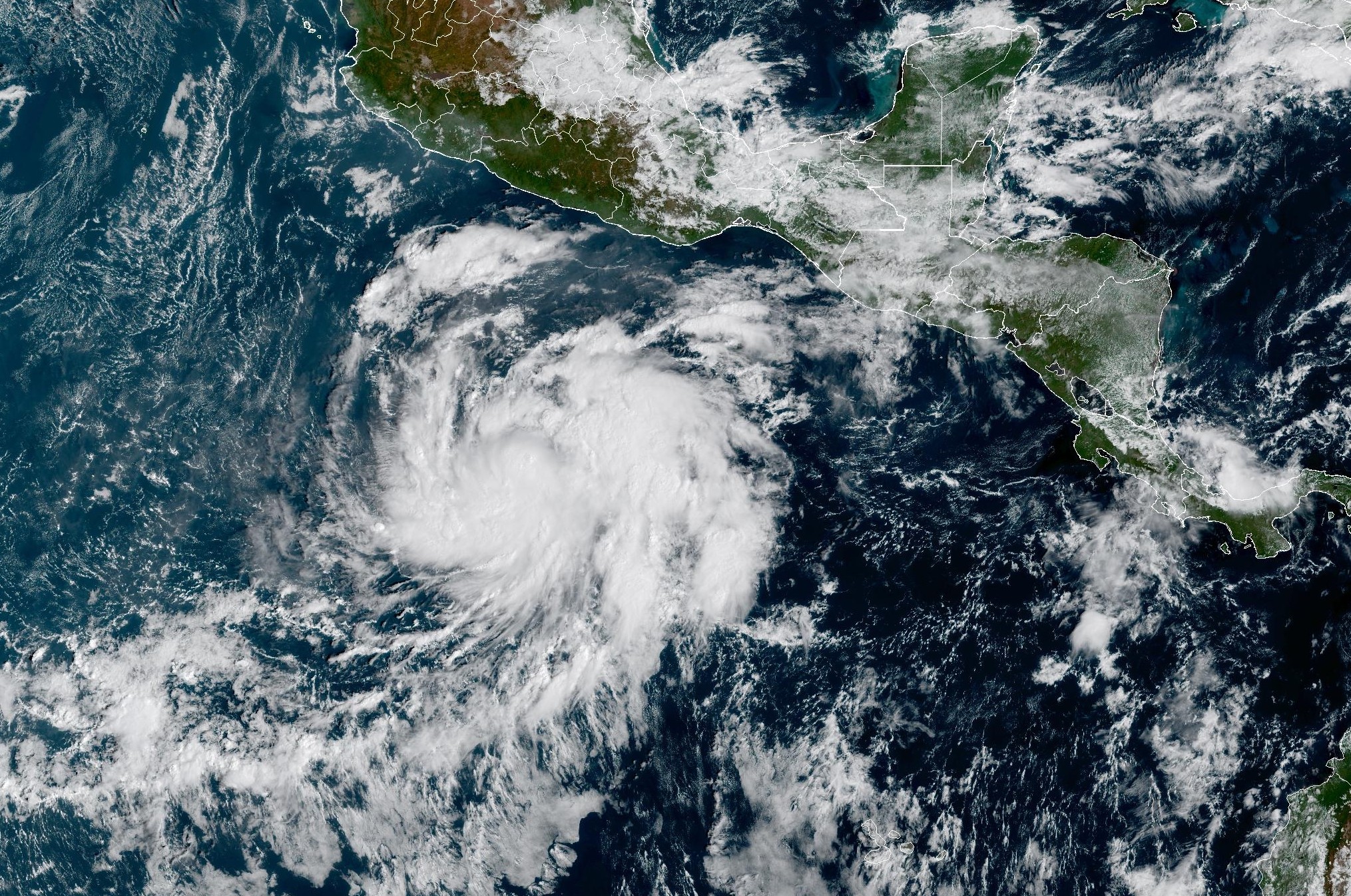 Tropical Storm Vance forms near Mexico. Will it affect Texas?
From there, some weather models show that moisture from Vance could move into parts of South Texas, bringing enhanced rain chances to places like the Rio Grande Valley, San Antonio, and Corpus Christi. Exactly when…
-
 Hometown Sizzle: Texas Chili For Chilly Weather
WDBJ7 Hometown Sizzle: Texas Chili For Chilly Weather STYLE & SAVINGS: Goodwill Offers Tips For Thrifting Halloween Costumes VDOT: Overhead Flashers In Franklin County Live on Rte. 220
-
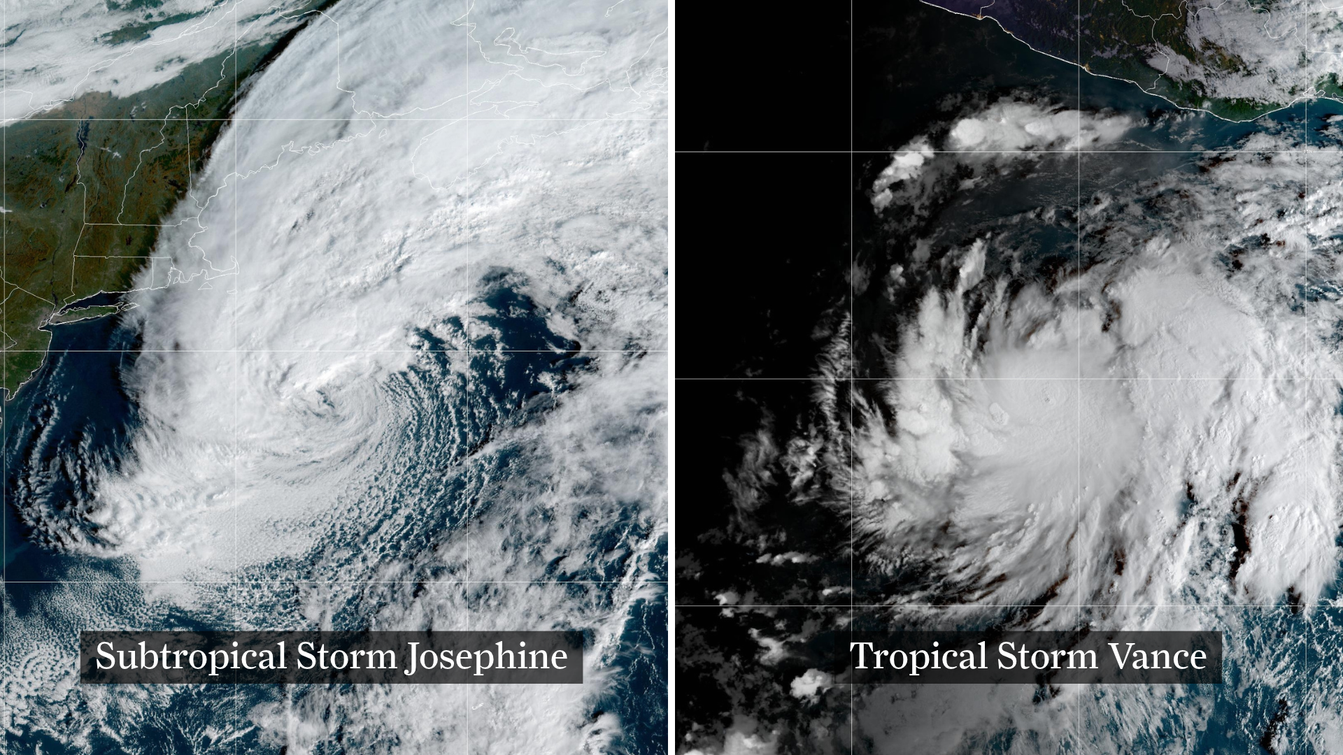 Josephine drifts away, Pacific moisture might spoil Halloween in Texas
From left, weather satellite images show Subtropical Storm Josephine in the North Atlantic and Tropical Storm Vance in the eastern Pacific. Josephine will continue strengthening off the coast of New England and the…
-
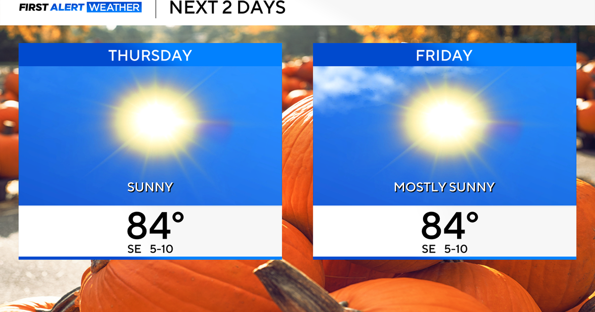 Temperatures to stay in 80s through weekend as clouds increase across North Texas
October 22, 2026 / 7:57 AM CDT / CBS Texas Temperatures are in the 50s and low 60s when you step outside to start your day. The forecast is almost identical to Wednesday, with sunshine and highs in the 80s in store for…
-
 The Biggest Weather Myths About Texas We All Believe are True
(Tyler, Texas) - I have always been fascinated by our weather in East Texas. Even when we think we've got it down what it's going to do outside, it changes on us five minutes later. It makes it hard for us to figure out…
Air quality
Air quality is satisfactory, and air pollution poses little or no risk.
Forecast
- SunGood
- MonGood
- TueGood
Lubbock, TX reporting area · 1 hr ago. Data from AirNow (EPA and its state, local and tribal partners); preliminary and subject to change.
Sun & moon
Almanac
MonthlyTahoka, records since 1913. Normals 1991–2020. Data from NOAA's Regional Climate Centers (ACIS).
Nearby
Forecasters' discussion
From the National Weather Service office in LUB, issued 12 hrs ago
Key Messages
Updated at 605 PM CDT Sat Oct 24 2026
- Rain showers and a few storms arrive tonight and continue on- and-off through Sunday, mainly on the Caprock.
- Additional showers and storms are expected on Monday before drier weather returns during the middle of the week.
- Rain chances then return Thursday into next weekend.
Short Term
(This afternoon through Sunday) Issued at 1242 PM CDT Sat Oct 24 2026
The synoptic pattern at midday Saturday is similar to what has been observed over the past 24 hours or so, with southwest flow aloft in place over West TX between a high-amplitude ridge axis centered over the ArkLaTex and a now-closed low centered over western AZ. Water vapor imagery highlights a broad fetch of enhanced mid/upper level moisture within the southwest flow aloft originating from the eastern Pacific. However, stronger jet-level flow and forcing for ascent in general is still focused well to our west, and as a result we expect nearly all convective activity to remain confined to the terrain of NM through this evening. Some brief sprinkles are still possible near the state line, but a large majority of the region will remain dry through the rest of the day. Thicker cloud cover will keep temperatures a bit cooler over the Caprock compared to farther east, with highs topping out near or just under 70 degrees west of I-27 this afternoon.
By late this evening, a line of showers/storms is expected to be positioned over eastern NM, but this activity will have quite a bit of trouble advancing farther eastward into our area given the lack of a strong westerly component aloft. Even so, we still expect that the outflow and a gravity wave or two propagating from this line will generate additional scattered showers over western portions of the Caprock late tonight, similar to what occurred last night. In addition, there is fairly good model consensus in a modest shortwave disturbance lifting into our area around sunrise, which should result in a further increase in coverage of showers over the remainder of the Caprock on Sunday morning. Pockets of locally heavy rain are still possible given the rich atmospheric moisture content (PWATs about 200% of normal), but the threat for flooding appears low. For now, it appears that the bulk of our rainfall potential on Sunday will be confined to areas on the Caprock during the morning hours, but the overall setup still favors potential for on-and-off showers mainly west of I-27 throughout the day. We also expect a respectable temperature gradient across the region, with highs struggling to exceed the low 60s near the TX/NM state line, and mid 70s possible off the Caprock.
Long Term
(Sunday night through next Friday) Issued at 1242 PM CDT Sat Oct 24 2026
On Sunday night, the upper low will lift northeastward over the Four Corners, then eject into the central plains as a potent open trough on Monday. This evolution should result in another mainly linear cluster of showers and storms over NE NM which may make it into the SW TX Panhandle late Sunday evening before dissipating. Despite the progress of the upper low, moist and generally unsettled southwest flow aloft is set to persist over our region through Monday. This combined with another shortwave disturbance lifting overhead will likely bring another round of scattered showers and a few storms to the forecast area through Monday afternoon before a general drying trend takes place on Monday night. Warmer and drier weather is expected during the Tue-Wed timeframe as flow aloft weakens and becomes more zonal, and temperatures will again climb slightly above normal during the middle of the week. Thursday and beyond, model consensus supports a return to a somewhat more active pattern as deep cyclonic flow aloft overspreads much of the western CONUS. Details are scarce at this lead time, but this signals a return of rain chances for the end of the week into next weekend.
Aviation
(00Z TAFS) Issued at 605 PM CDT Sat Oct 24 2026
Showers and low clouds are expected to move in to PVW/LBB late tonight into Sun AM, and linger through the rest of the period. Precip could start as early as 08z, but appears most likely between 12-18z. Low MVFR ceilings appear likely at PVW/LBB, and IFR is certainly possible - but did not go prevailing IFR with this TAF update. Thunder chances are non-zero, but too low to warrant inclusion in the TAF. At KCDS, precip chances are lower and arrive later in the period (Sun PM), and the MVFR ceilings are expected to stay off to the west. Southeasterly winds persist through the period.
Forecasts, observations and alerts in the United States come from the National Weather Service (NOAA); radar from NOAA's Multi-Radar Multi-Sensor system; satellite imagery from NASA's Global Imagery Browse Services (GIBS) and NOAA's GOES satellites; the map from the U.S. Geological Survey's National Map; air quality from AirNow (EPA and its partners); hurricane information from the National Hurricane Center; climate normals and records from NOAA's Regional Climate Centers (ACIS). Forecasts outside the United States and the UV index: MET Norway (CC BY 4.0); observations outside the U.S.: airport reports via NOAA's Aviation Weather Center. Place names: GeoNames (CC BY 4.0). Data are copied on a schedule and may lag the sources; for warnings that affect your safety, follow your local National Weather Service office and emergency officials. Weather news is drawn from the 4Conservative index and reflects what the press published. Terms of use.