Install
Horseshoe Bay, TX 78657 Weather
Current conditions
Forecast for this hour (no station report in the last two hours)
Forecast
10-day-
Monday
Partly sunny, with a high near 79. East southeast wind 0 to 5 mph.
-
Monday Night
Mostly cloudy, with a low around 60. East wind 0 to 5 mph.
-
Tuesday
A slight chance of rain showers between 7am and 1pm. Mostly cloudy, with a high near 77. East northeast wind 0 to 5 mph. Chance of precipitation is 20%.
National Weather Service forecast updated 2 days ago.
Hourly
Hourly forecast- Now78°
- 3 PM79°
- 4 PM79°
- 5 PM78°
- 6 PM77°
- 7 PM75°
- 8 PM72°
- 9 PM70°
- 10 PM68°
- 11 PM67°
- Tue12 AM66°
- 1 AM65°
- 2 AM64°
- 3 AM63°
- 4 AM62°
- 5 AM61°
- 6 AM61°
- 7 AM61°16%
- 8 AM62°16%
- 9 AM64°16%
- 10 AM66°16%
- 11 AM68°16%
- 12 PM71°16%
- 1 PM73°14%
10-day forecast
Details- TonightOct 23Mostly Clear60°
- SatOct 24Mostly Sunny63°84°
- SunOct 25Mostly Cloudy58°80°
- TodayOct 26Partly Sunny60°79°
- TueOct 27Slight Chance Rain Showers16%60°77°
- WedOct 28Mostly Sunny61°80°
- ThuOct 29Partly Sunny then Chance Showers And Thunderstorms32%62°81°
- FriOct 30Chance Rain Showers50%77°
- SatOct 31Cloudy61°80°
- SunNov 1Cloudy70°86°
Days after the National Weather Service's seven are MET Norway's outlook, a computer model with no forecaster's review.
Radar
Full mapWeather news in Texas
More weather news-
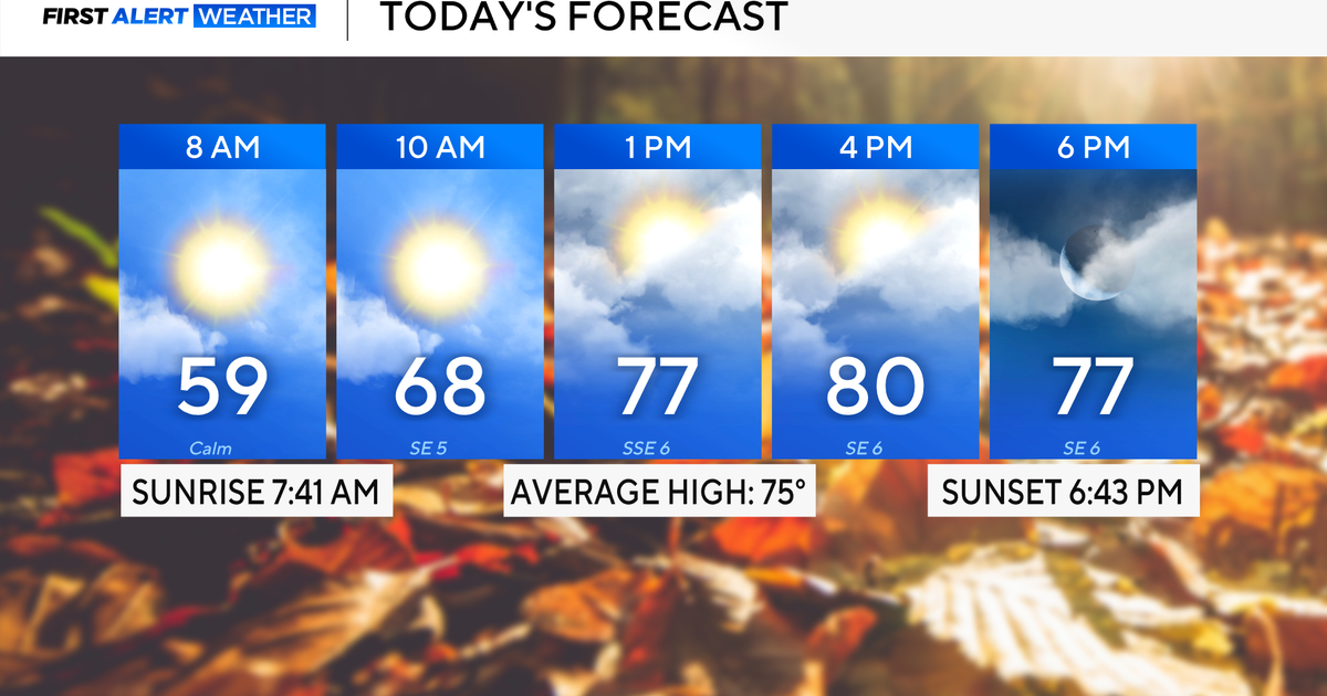 Rain chances on the rise for North Texas this week
October 26, 2026 / 8:16 AM CDT / CBS Texas North Texas woke up to partly to mostly cloudy skies and high temperatures in the 50s and 60s. You'll want to grab that light jacket as you head out the door. We'll continue to…
-
 Severe storms may bring flooding to Texas this week
Heavy rain is likely to continue across the Texas Panhandle on Oct. 26, 2026, bringing even a possibility of flash flooding, per the National Weather Service. After a rainy Sunday, wet weather will likely continue to…
-
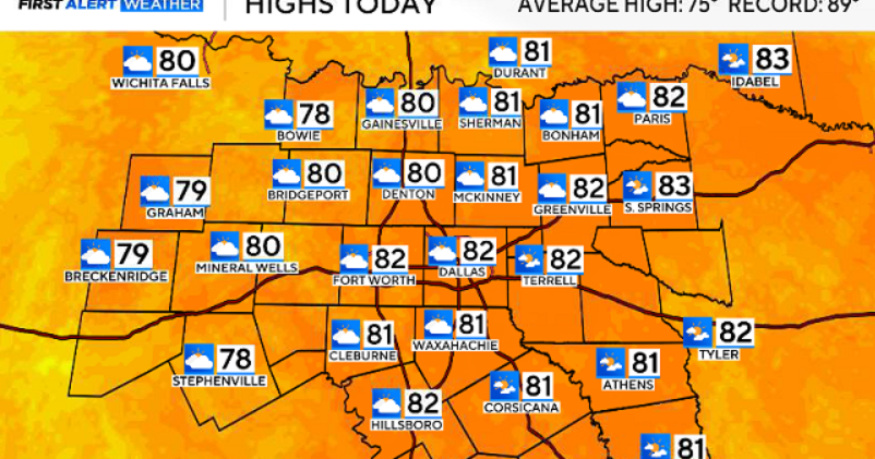 North Texas gets a warm, mild Sunday ahead of clouds and wind this week
October 25, 2026 / 6:51 AM CDT / CBS Texas Expect a warm and dry stretch of weather in North Texas over the next few days, with highs staying in the 80s, but we will see a pattern change as rain chances move in around…
-
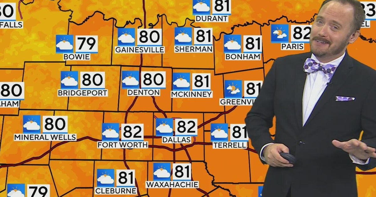 Warm, mild Sunday ahead for North Texas
CBS News Bay Area Morning Edition Weekend 6am WBZ This Morning 8am CBS Colorado Mornings Weekend CBS News Los Angeles Weekend 6am CBS Miami News Sunday Morning CBS News New York Sunday 8am KDKA News This Morning Sunday…
-
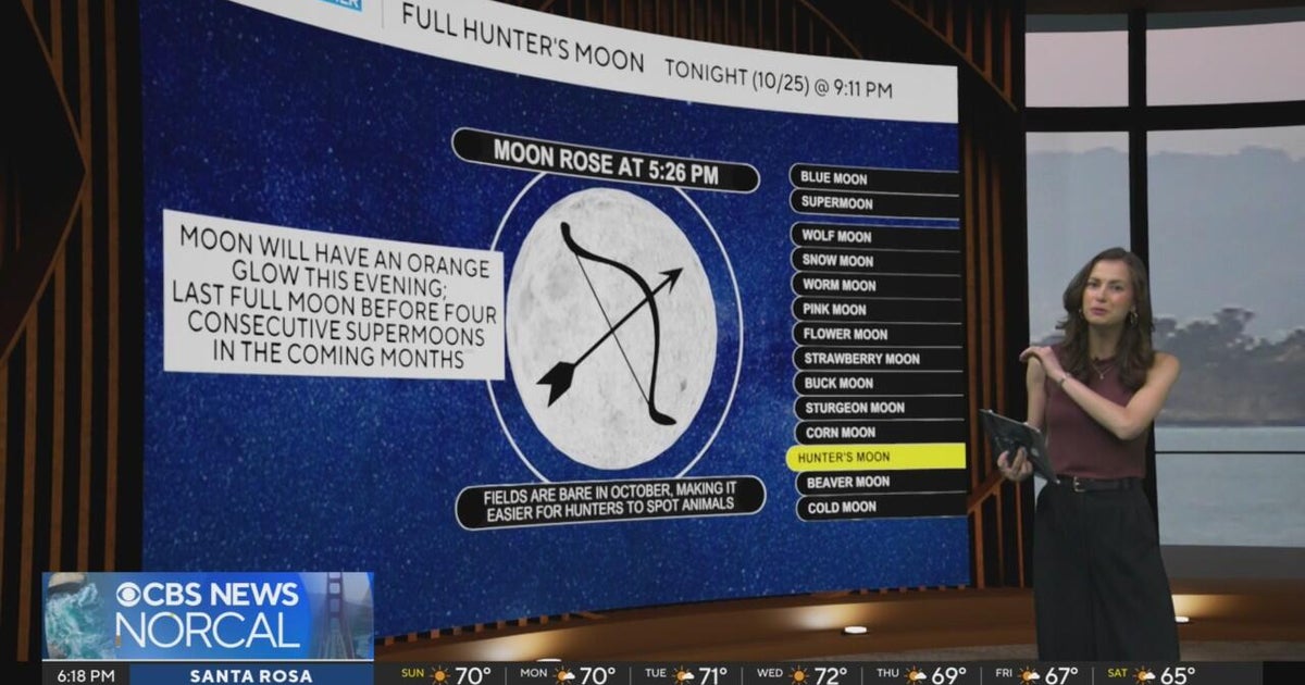 First Alert Weather Sunday evening forecast 10-25-26
CBS News Bay Area Evening Edition Weekend 6pm CBS News Detroit Weekend 6:30pm CBS News Miami 6:30pm CBS Philadelphia at 6:30pm KDKA News Weekend 10pm Your Community Stories From Your Reporters CBS News Texas 5:30pm
-
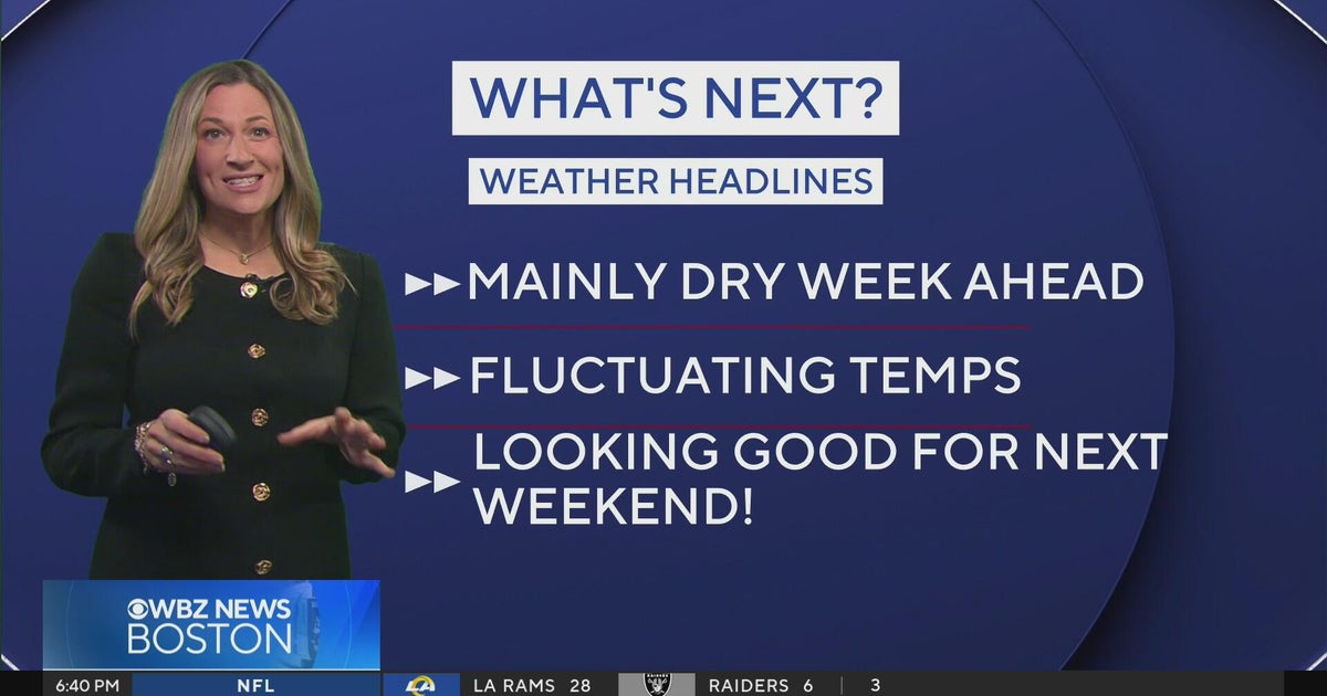 Next Weather: WBZ Evening Update for Oct. 25
CBS News Colorado Weekend 5pm CBS News Detroit Weekend 6:30pm CBS News Miami 6:30pm CBS Philadelphia at 6:30pm KDKA News Weekends 6:30pm CBS News Texas 5:30pm
-
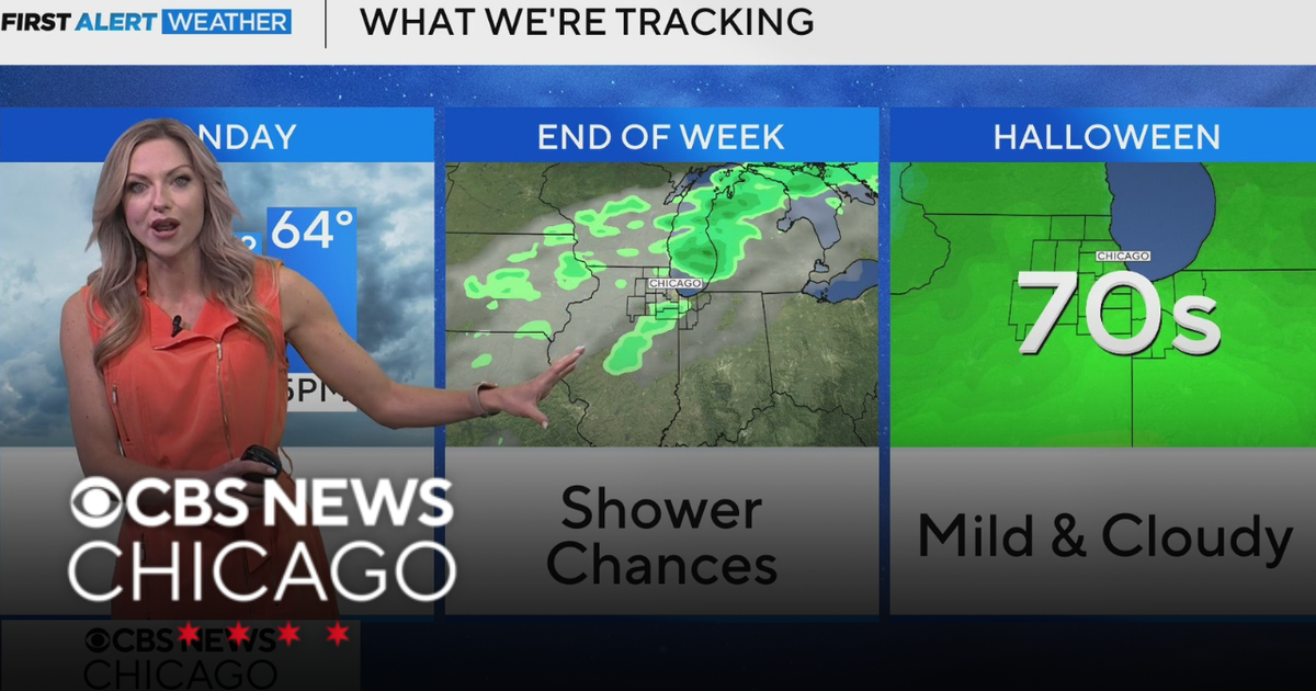 Areas of fog in Chicago Sunday night
CBS News Colorado Weekend 5pm CBS News Detroit Weekend 6:30pm CBS News Miami 6:30pm CBS Philadelphia at 6:30pm KDKA News Weekends 6:30pm CBS News Texas 5:30pm
-
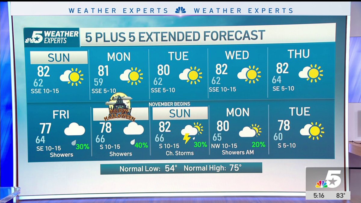 NBC 5 Forecast: A quiet weather pattern continues for North Texas
NBC 5 Dallas-Fort Worth NBC 5 Forecast: A quiet weather pattern continues for North Texas NBC 5 Forecast: Above normal temps, but still nice NBC 5 Forecast: Cool mornings and pleasant afternoons for North Texas
-
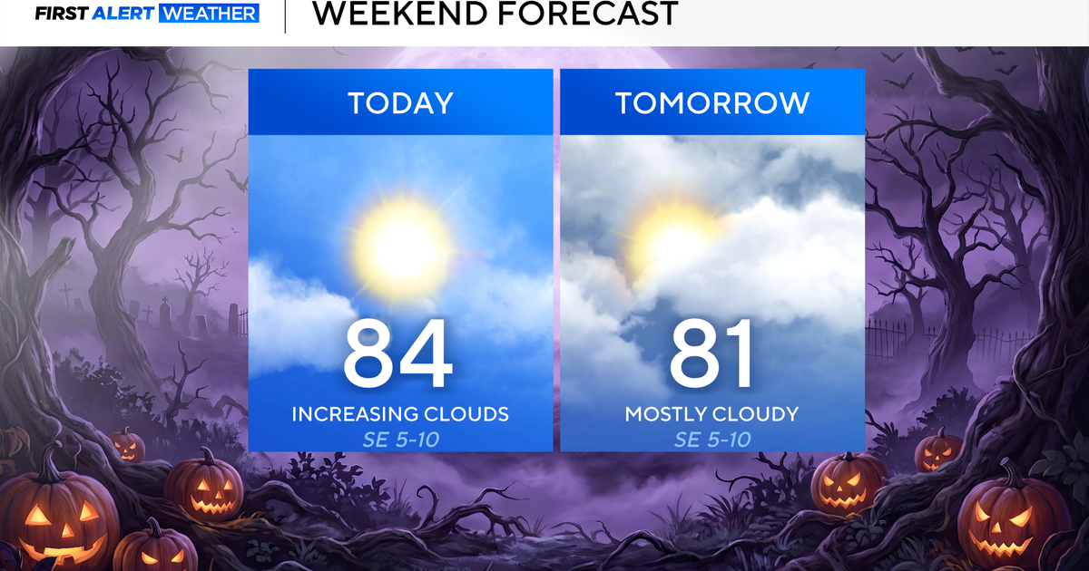 North Texas seeing rain chances return next week
October 24, 2026 / 7:21 AM CDT / CBS Texas North Texas was off to a seasonable start on Saturday morning, with temperatures mainly in the 50s. Temperatures will remain above average this weekend, with highs in the lower…
-
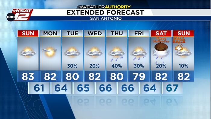 Mild Fall weather continues as rain returns to the forecast
Best opportunity for showers and storms arrives Thursday and Friday, while Halloween rain chances remain uncertain. High clouds will continue to drift across South Central Texas through Monday, but dry air will keep…
Air quality
Acceptable. Unusually sensitive people should consider limiting prolonged outdoor exertion.
Forecast
- MonModerate
- TueGood
- WedGood
Austin, TX reporting area · 1 hr ago. Data from AirNow (EPA and its state, local and tribal partners); preliminary and subject to change.
Sun & moon
Almanac
MonthlyBurnet, records since 1896. Normals 1991–2020. Data from NOAA's Regional Climate Centers (ACIS).
Nearby
- Cedar Park 53 km
- Leander 50 km
- Lakeway 43 km
- Fredericksburg 56 km
- Lago Vista 38 km
- Bee Cave 49 km
- Marble Falls 10 km
- Burnet 28 km
- Kingsland 14 km
- Granite Shoals 5 km
- Lost Creek 58 km
- Llano 37 km
Forecasters' discussion
From the National Weather Service office in EWX, issued 9 hrs ago
Key Messages
Updated at 544 AM CDT Mon Oct 26 2026
- Periodic rain chances return to western counties this evening,then gradually increase west-to-east across the area this week with peak rain chances and locally heavy amounts possible Thursday into Friday.
- Mild to warm conditions continue through the week
Short Term
(Today through Tuesday) Issued at 1239 AM CDT Mon Oct 26 2026
A blocking ridge that's been over TX is being nudged east today to hopefully open up more Gulf moisture for some much needed October rain. Over the past few days, the presence of a large surface ridge covering the SE CONUS has been sending ripples of drier air across the northern Gulf into Central and East TX. Unfortunately, this is continuing today, and our convection potential will be confined to our western counties where the low level winds are more southerly than easterly. Rounding about the base of the surface ridge, a pocket of locally higher PWat values will be moving onshore into the Coastal Bend, but is expected to mainly target the Rio Grande Plains while less moist air continues to work west to the I-35 Corridor from SE TX. This is unfortunate because a robust shortwave is forecast to arrive into the Edwards Plateau late this afternoon into tonight. So the same areas that got the lion's share of rain in the most recent rain pattern will again receive the benefits of better moisture availability and therefore rain chances. This short term rain chance is not expected to bring significant rain totals, as the PWat values shown in the latest GFS to be around 1.5 inches. Late tonight there could be enough Gulf moisture arrival to generate some overnight streamer showers in our central counties, and there are some indications in the new 00Z runs of additional weak shortwave activity to trail the ejecting shortwave into S TX as the stronger portion of the ejecting system pulls north into the Central Plains.
So putting it all together, we're expecting to see a 40-55% rain chance spreading into Val Verde County later today, with mostly 15- 30% PoPs tonight and a boost of rain chances covering a few more areas from San Antonio metro to the Rio Grande Plains and lower Coastal Plains during the day Tuesday. Best rainfall amounts may high over half an inch in spots, but most amounts should fall shy of 1/10 inch. As we saw for Sunday, all the extra cloud attention we are getting is giving us some relief from the heat and this is expected to continue into the extended forecast.
Long Term
(Tuesday night through Sunday) Issued at 1239 AM CDT Mon Oct 26 2026
The tilted low level ridging pattern that holds onto the upper TX coast continues to funnel intermittent moist and dry pockets of low level air into South Central TX and this has us not feeling too confident on the rain chances for Wednesday. With out SE counties projected to see 1.5-1.7 inch PWat values, it would seem that low level convection would be somewhat isolated. However, that SW flow overhead will be capable of ejecting some weak vorticity out of the higher terrain as the SW shear over the eastern Pacific should have a better connection to weakening Tropical Storm Vance. The current model cycle indicates most runs holding back any rain chance increases for Wednesday, but there has been a large sway towards a wetter environment developing Wednesday night into Thursday morning over western counties and spreading slowly northeast across much of the area through late Friday. The 00Z solutions looked at thus far don't seem to show good agreement on what the surface conditions will look like during this period, and the GFS could be an outlier in generating a shortwave strong enough to bring its own frontal system into TX Friday. The model blends are therefore favored, and the more likely scenario is continued low level dry air entrainment into eastern counties to limit the rainfall potential to mainly along and west of I-35 when the shortwave pushes through. Any changes to Vance could also disrupt this weather trend, so the feeling here is that our PoPs for this Thursday into Friday should be treated with a degree of skepticism. Should Vance's trend impact our area in a more "positive" way, it will be nice to have later shifts inherit the current messaging that a heavy rain event of 1-2 inch rains and potentially higher is well within the realm of possibility for Thursday and Friday.
Temperatures remain seasonably mild warm and should be fairly steady through mid week. Assuming the enhanced rain chances are going to pan out for Thursday and Friday, some relatively lower high temperatures are already getting baked into the guidance blends for that period.
Aviation
(12Z TAFS) Issued at 544 AM CDT Mon Oct 26 2026
VFR conditions are forecast to remain across the I-35 corridor terminals through late tonight. For KDRT, MVFR conditions are currently happening and forecast to stay through 18Z. A light and variable wind flow stays for the rest of this morning. A southeast flow of 10 knots or less is forecast to persist across the local area this afternoon and part of the evening. A dry weather pattern continues for most areas with the exception of portions of the Rio Grande and southern Edwards Plateau this afternoon and evening. KDRT could see isolated to scattered shower activity through the period. Increased moisture spreading across the local area this evening could result in MVFR cigs for the I-35 terminals late tonight into the overnight hours/Tuesday morning.
Forecasts, observations and alerts in the United States come from the National Weather Service (NOAA); radar from NOAA's Multi-Radar Multi-Sensor system; satellite imagery from NASA's Global Imagery Browse Services (GIBS) and NOAA's GOES satellites; the map from the U.S. Geological Survey's National Map; air quality from AirNow (EPA and its partners); hurricane information from the National Hurricane Center; climate normals and records from NOAA's Regional Climate Centers (ACIS). Forecasts outside the United States and the UV index: MET Norway (CC BY 4.0); observations outside the U.S.: airport reports via NOAA's Aviation Weather Center. Place names: GeoNames (CC BY 4.0). Data are copied on a schedule and may lag the sources; for warnings that affect your safety, follow your local National Weather Service office and emergency officials. Weather news is drawn from the 4Conservative index and reflects what the press published. Terms of use. How to use Weather