Install
Llano, TX Weather
Current conditions
Forecast for this hour (no station report in the last two hours)
Forecast
10-day-
Thursday
Sunny, with a high near 83. East northeast wind 0 to 5 mph.
-
Thursday Night
Mostly clear, with a low around 53. East wind 0 to 5 mph.
-
Friday
Sunny, with a high near 82. East southeast wind 0 to 10 mph, with gusts as high as 20 mph.
National Weather Service forecast updated 2 days ago.
Hourly
Hourly forecast- Now80°
- 2 PM82°
- 3 PM83°
- 4 PM83°
- 5 PM82°
- 6 PM80°
- 7 PM77°
- 8 PM73°
- 9 PM69°
- 10 PM65°
- 11 PM63°
- Fri12 AM62°
- 1 AM61°
- 2 AM59°
- 3 AM57°
- 4 AM55°
- 5 AM54°
- 6 AM53°
- 7 AM53°
- 8 AM56°
- 9 AM61°
- 10 AM66°
- 11 AM71°
- 12 PM76°
10-day forecast
Details- TueOct 20Sunny53°82°
- WedOct 21Sunny53°84°
- TodayOct 22Sunny53°83°
- FriOct 23Sunny55°82°
- SatOct 24Mostly Sunny59°81°
- SunOct 25Mostly Cloudy58°79°
- MonOct 26Partly Sunny12%56°79°
- TueOct 27Heavy rain0.57 in58°67°
- WedOct 28Cloudy56°73°
- ThuOct 29Mostly sunny51°74°
Days after the National Weather Service's seven are MET Norway's outlook, a computer model with no forecaster's review.
Radar
Full mapWeather news near Llano
More weather news-
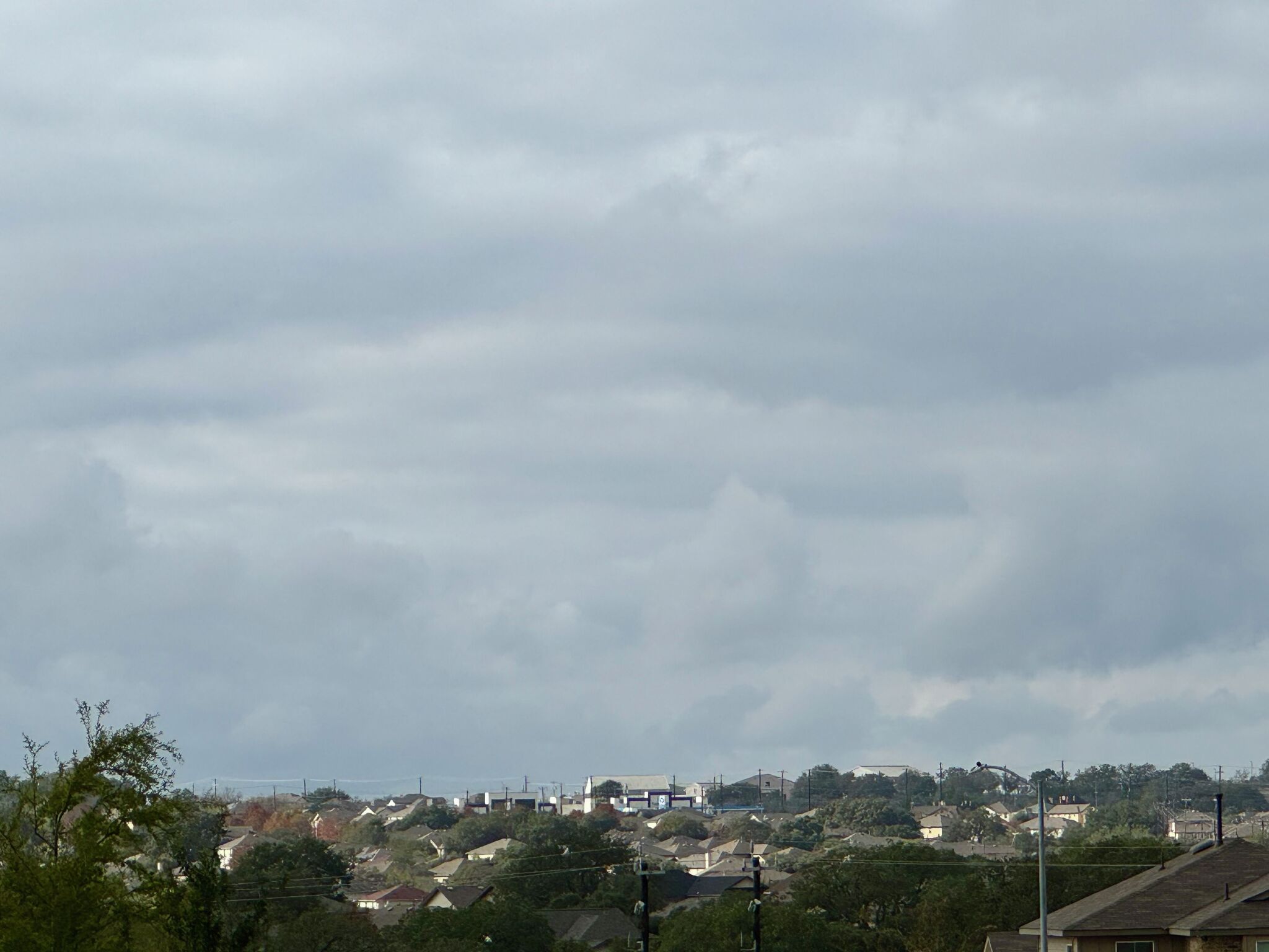 Cold front brings cold weather to San Antonio on Saturday
A strong cold front brings San Antonio-area temperatures down to the 40s on Saturday, October 16, 2026. Here are the cities that will experience it. San Antonio residents are enjoying cooler weather this week thanks to…
-
 Cold front brings cold weather to San Antonio. Here's the forecast.
San Antonio residents are enjoying cooler weather this week thanks to a strong Texas cold front. A jacket or long sleeves will still be needed on Saturday, October 16, as breezy conditions continue. According to the…
-
 Cold front timeline: Here's when it starts blasting through Texas. When will it hit Austin?
The much-anticipated cold front is barrelling across Texas on Thursday, already making its presence felt in the Texas Panhandle, where temperatures had dropped into the 40s and 50s by mid-morning. The front is also…
-
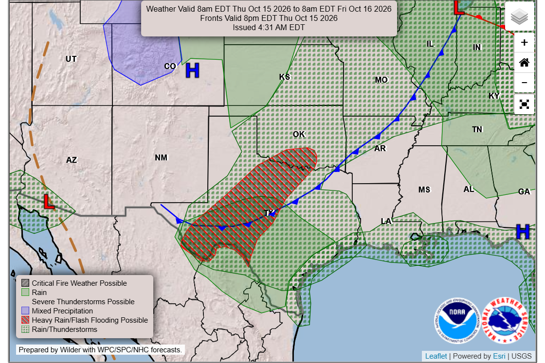 Temp timeline: Cold front blasts into Texas. When will it hit Austin?
A cold front is expected to start moving through Texas late Thursday and will sweep into Central Texas overnight into Friday. The much-anticipated cold front is barrelling across Texas on Thursday, already making its…
-
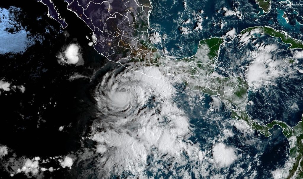 LIVE MAP: Track the path of Hurricane Trudy
Inside the White House with Liz Landers Track the path of Hurricane Trudy below. Trudy was located about 300 miles southwest of Acapulco, Mexico, with maximum sustained winds of 75 mph, according to the U.S. National…
-
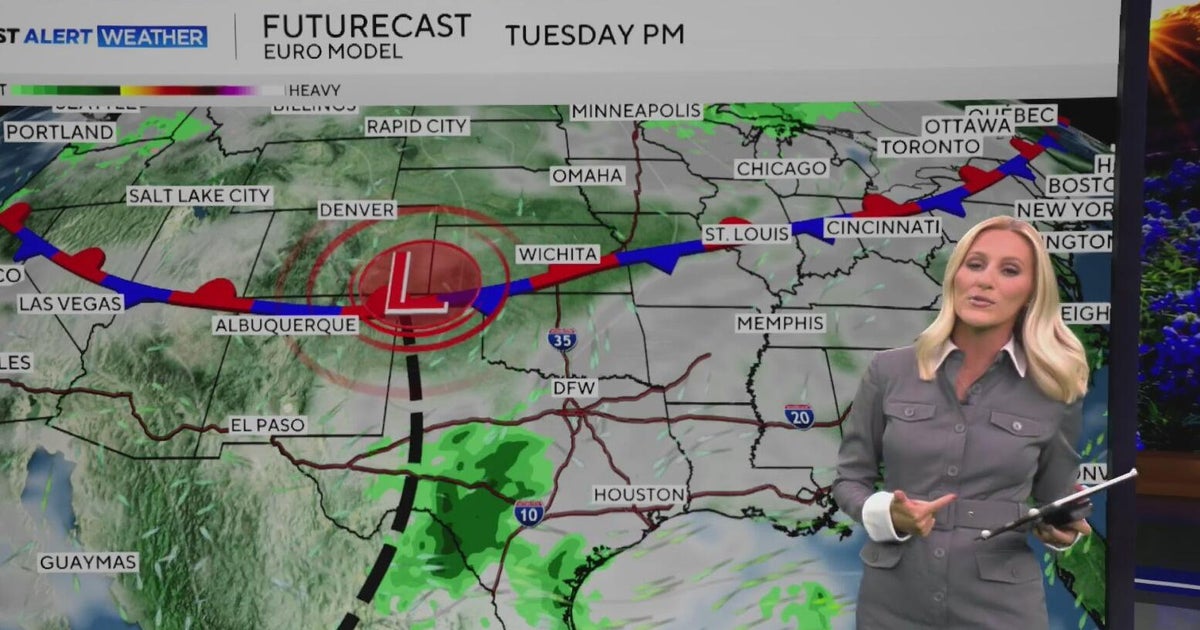 Warm, sunny weather continues in North Texas before clouds return
North Texas will continue enjoying above-average temperatures and sunny skies through the end of the workweek, with highs climbing into the mid-80s by Friday. Clouds begin moving in on Sunday, bringing a little less…
-
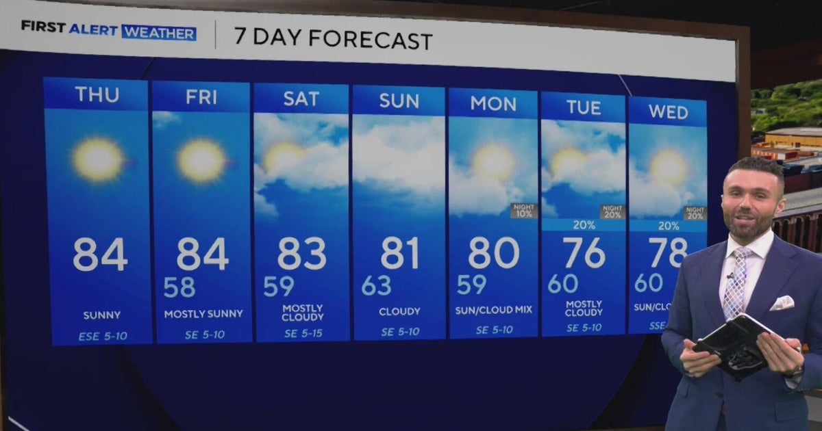 Cloudy, warm weekend on deck as temperatures stay in the low 80s in North Texas
CBS News Baltimore 8am CBS News Boston 8am CBS News Chicago 7am CBS News Colorado This Morning 6am CBS News Los Angeles Mornings 5am CBS News Miami 8am CBS News New York 8am CBS News Texas 7am
-
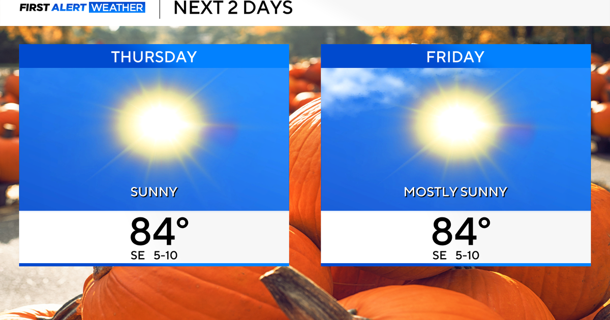 Temperatures to stay in 80s through weekend as clouds increase across North Texas
October 22, 2026 / 7:57 AM CDT / CBS Texas Temperatures are in the 50s and low 60s when you step outside to start your day. The forecast is almost identical to Wednesday, with sunshine and highs in the 80s in store for…
-
 The Biggest Weather Myths About Texas We All Believe are True
(Tyler, Texas) - I have always been fascinated by our weather in East Texas. Even when we think we've got it down what it's going to do outside, it changes on us five minutes later. It makes it hard for us to figure out…
-
 Hail, flooding and cold front headed for parts of Texas. Here's where.
Severe weather could bring large hail to West Texas. Parts of Texas could face several days of severe weather, with storms kicking off today and potentially lasting through the weekend. Scattered to numerous…
Sun & moon
Almanac
MonthlyLlano Municipal Airport, records since 2009. Normals 1991–2020. Data from NOAA's Regional Climate Centers (ACIS).
Nearby
- Fredericksburg 57 km
- Lampasas 58 km
- Marble Falls 43 km
- Burnet 43 km
- Kingsland 25 km
- Granite Shoals 34 km
- Horseshoe Bay 37 km
- San Saba 49 km
- Mason 53 km
Forecasters' discussion
From the National Weather Service office in EWX, issued 19 hrs ago
Key Messages
Updated at 616 PM CDT Wed Oct 21 2026
- Warm and rain-free conditions to persist into the weekend
- Modest Rain chances (15-30%) to return early next week
Short Term
(Tonight through Thursday night) Issued at 1215 PM CDT Wed Oct 21 2026
A mid level ridge axis that has been responsible for our continued dry and warm weather will not move much in the coming days. This ridge will eventually set up a strong Omega block pattern across the CONUS. This will continue to keep our area under mostly sunny to partly sunny skies with highs in the low to mid 80s and lows in the low to mid 50s each day in the short term. Chances of precipitation look slim to non nonexistent with the one exception being over the Rio Grande Plains. A decent amount of moisture may advance far enough northward into our area that may produce also a sprinkle or shower over the Rio Grande. Otherwise expect dry weather to persist areawide.
Long Term
(Friday through next Wednesday) Issued at 1215 PM CDT Wed Oct 21 2026
The omega block pattern remains through the end of the week before eventually showing signs of breaking down as a decent trough tries to dislodge it over the southwestern CONUS. As this happens we should have a few more days of warm and dry weather (highs in the 80s lows in the 50s) before we get into low chances for precip as moisture and humidity return on the back of southeasterly flow. This should allow temperatures to cool slightly as this trough begins to eject northeastward into the panhandles and thus possibly bringing with it a front southward into our area. Long range models are still having quite a difficult time handling this feature and the ensuing pattern change. For now have kept pops low, in the 15-30% range, starting Sunday and continuing into early next week. Continue to stay tuned as details become more refined as we get closer to the weekend.
Aviation
(00Z TAFS) Issued at 616 PM CDT Wed Oct 21 2026
Light east to southeasterly wind prevails in the west overnight with calm wind over the eastern half of the forecast area. The pattern of light wind continues into Thursday with speeds generally under 10 knots from the southeast along the Rio Grande and from the east to northeast at I-35 terminals. VFR conditions remain through the period except for a brief period of MVFR stratus near sunrise at KDRT.
Forecasts, observations and alerts in the United States come from the National Weather Service (NOAA); radar from NOAA's Multi-Radar Multi-Sensor system; satellite imagery from NASA's Global Imagery Browse Services (GIBS) and NOAA's GOES satellites; the map from the U.S. Geological Survey's National Map; air quality from AirNow (EPA and its partners); hurricane information from the National Hurricane Center; climate normals and records from NOAA's Regional Climate Centers (ACIS). Forecasts outside the United States and the UV index: MET Norway (CC BY 4.0); observations outside the U.S.: airport reports via NOAA's Aviation Weather Center. Place names: GeoNames (CC BY 4.0). Data are copied on a schedule and may lag the sources; for warnings that affect your safety, follow your local National Weather Service office and emergency officials. Weather news is drawn from the 4Conservative index and reflects what the press published. Terms of use.