Install
Homer, LA 71040 Weather
Current conditions
Forecast for this hour (no station report in the last two hours)
Forecast
10-day-
Today
Sunny, with a high near 84. Northeast wind around 5 mph.
-
Tonight
Clear, with a low around 49. Northeast wind around 0 mph.
-
Friday
Sunny, with a high near 84. East wind 0 to 5 mph.
National Weather Service forecast updated 8 hrs ago.
Hourly
Hourly forecast- Now82°
- 4 PM84°
- 5 PM82°
- 6 PM79°
- 7 PM73°
- 8 PM65°
- 9 PM61°
- 10 PM59°
- 11 PM57°
- Fri12 AM55°
- 1 AM55°
- 2 AM54°
- 3 AM53°
- 4 AM51°
- 5 AM51°
- 6 AM50°
- 7 AM49°
- 8 AM50°
- 9 AM58°
- 10 AM67°
- 11 AM73°
- 12 PM77°
- 1 PM81°
- 2 PM82°
10-day forecast
Details- TodayOct 22Sunny49°84°
- FriOct 23Sunny51°84°
- SatOct 24Sunny48°84°
- SunOct 25Mostly Sunny49°80°
- MonOct 26Partly Sunny49°80°
- TueOct 27Mostly Sunny50°80°
- WedOct 28Sunny49°81°
- ThuOct 29Sunny60°84°
- FriOct 30Cloudy55°70°
- SatOct 31Cloudy53°68°
Days after the National Weather Service's seven are MET Norway's outlook, a computer model with no forecaster's review.
Radar
Full mapWeather news near Homer
More weather news-
 Before the heat hits, is your Canberra home ready for summer?
This content has been provided by a third party. With El Nino underway, Canberra homeowners have a timely reason to review their cooling before summer. The Bureau of Meteorology explains that El Nino is part of a…
-
 Rain is Coming: Prepare Your Home and Family
Rain is expected to return to San Diego County this week. The National Weather Service forecasts cooler temperatures, showers and a chance of thunderstorms across the region beginning Wednesday evening and continuing…
-
 Nine expert tips for staying warm at home without turning up the heating
There are several tricks and tips for keeping warm and cosy during cold weather With temperatures dipping across the UK, experts have revealed how to stay warm at home during the cooler months without turning the…
-
 Ladybugs completely swarm Ontario home in October
The Weather Network
-
 ‘Dangerous mistake’ Brits make when heating homes in winter - expert issues warning
Families with young babies need to take particular care because infants cannot regulate their body temperature as effectively as adults. Mr McKenzie said: “For families with young babies, warming the home properly is…
-
 Warming trend in Minnesota continues, as rain holds off
CBS News Minnesota is a local news organization that is part of CBS News and Stations. Also referred to as WCCO-TV and channel 4, CBS News Minnesota offers local breaking news, weather coverage and investigative…
-
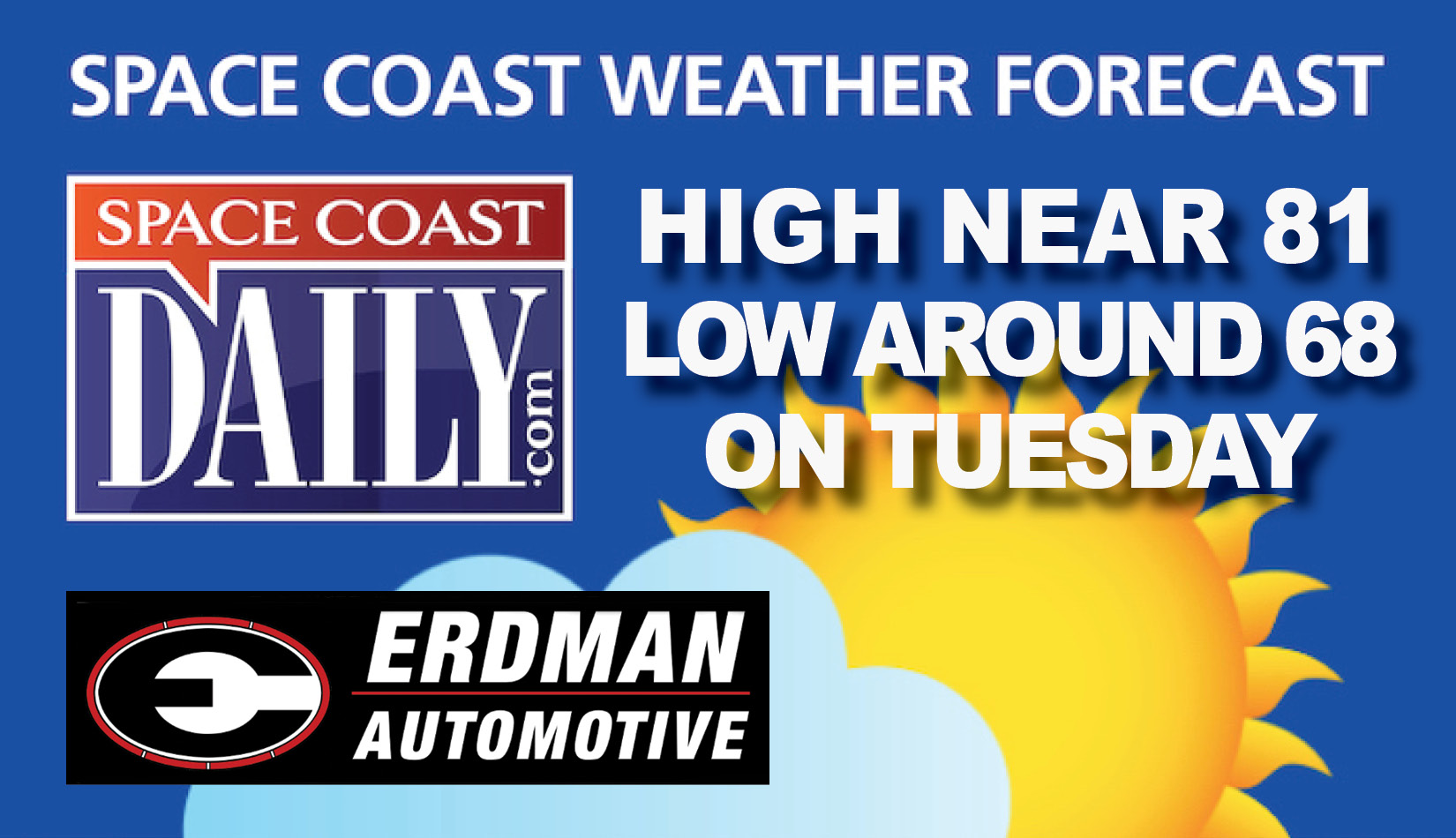 BREVARD WEATHER: Sunny, With a High Near 81, Tuesday On the Space Coast
Tuesday: A 20 percent chance of showers after 2 pm. Sunny, with a high near 81. Home » Home » BREVARD WEATHER: Sunny, With a High Near 81, Tuesday On the Space Coast By Space Coast Daily // October 20, 2026
-
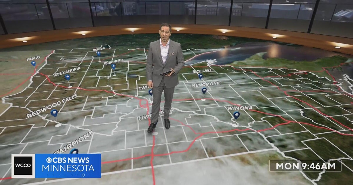 Minnesota’s warm, dry streak continues, with temperatures nearing 80 by Thursday | Oct. 19, 2026
A ridge of high pressure keeps the jet stream and cold air to the north, WCCO’s meteorologist says. Highs reach nearly 70 in the Twin Cities Wednesday, the mid 70s Thursday and close to 80 in parts of south central…
-
 Stretch of dry, pleasant days through this week
FOX Carolina News Stretch of dry, pleasant days through this week Family remembers father killed when tree fell on home during Isaias remnants Beautiful Fall weather takes over the Western Carolinas Beautiful fall…
-
 IMD warns of very heavy rain in Tamil Nadu, 7-day wet spell in Kerala
Neeraj Bali Chandigarh, Oct 20 (UNI) union Home Minister Amit Shah arrived in Punjab's Gurdaspur dis By Neeraj Bali Chandigarh, Oct 20 (UNI) Punjab Chief Minister Bhagwant Mann on Tuesday announced th Chennai, Oct 20…
Air quality
Acceptable. Unusually sensitive people should consider limiting prolonged outdoor exertion.
Forecast
- ThuModerate (64)
- FriModerate (64)
- SatModerate (58)
Shreveport, LA reporting area · 2 hrs ago. Data from AirNow (EPA and its state, local and tribal partners); preliminary and subject to change.
Sun & moon
Almanac
MonthlyHomer 1n, records since 1893. Normals 1991–2020. Data from NOAA's Regional Climate Centers (ACIS).
Nearby
- Ruston 46 km
- El Dorado 59 km
- Minden 30 km
- Magnolia 58 km
- Red Chute 60 km
- Grambling 40 km
- Springhill 48 km
- Eastwood 56 km
- Farmerville 58 km
- Haughton 52 km
- Arcadia 27 km
- Haynesville 23 km
Forecasters' discussion
From the National Weather Service office in SHV, issued 2 hrs ago
Key Messages
Issued at 1129 PM CDT Wed Oct 21 2026
- Seasonably warm and prolonged dry conditions will maintain an elevated wildfire risk throughout this 7-day forecast period.
- The lack of appreciable rainfall will result in further drought degradation through the end of the month.
- Longer range guidance beyond the next 7 days suggests the potential for a more active pattern closer to Halloween into early November.
Discussion
Issued at 1127 PM CDT Wed Oct 21 2026
An upper-level ridge across Texas to build east across the ArkLaTex through the end of the workweek resulting in mostly clear skies and elevated afternoon highs in the low to mid 80s. A broad surface high extending from southeast Canada into the Great Lakes region and ridging southward into the Deep South will remain firmly established across the region through the weekend. This dry airmass will allow for overnight low temperatures to fall into the upper 40s to lower 50s. Additionally, the combination of drier air and ongoing drought conditions will maintain an elevated wildfire threat across the region through much of the 7 day forecast period. Fortunately, the lack of strong winds will help to slow the spread of any wildfires that do develop.
Upper-level ridge shifts south early next week allowing for southwest flow to increase aloft. Could see increased cloud- cover areawide along with slightly cooler afternoon highs due to increased mixing. However, surface high to remain firmly established across the region with winds remaining east to northeast, restricting gulf moisture return.
Otherwise, a frontal boundary to move through the region on Tuesday into Tuesday night with continental high pressure building in its wake. With a lack of low-level moisture, not expecting any significant convection with the frontal passage. /05/
Aviation
(18Z TAFS) Issued at 1227 PM CDT Thu Oct 22 2026
For the 22/18Z TAFS, VFR conditions will prevail throughout this forecast period, with mostly clear skies punctuated only by a few passing high clouds. East-northeast winds will become light and variable overnight before assuming a southeasterly course tomorrow at maximum sustained speeds of 4 to 8 mph.
/26/
Spotter Information Statement
Issued at 1129 PM CDT Wed Oct 21 2026
Spotter activation may be needed through this week in the event of wildfire development.
Forecasts, observations and alerts in the United States come from the National Weather Service (NOAA); radar from NOAA's Multi-Radar Multi-Sensor system; satellite imagery from NASA's Global Imagery Browse Services (GIBS) and NOAA's GOES satellites; the map from the U.S. Geological Survey's National Map; air quality from AirNow (EPA and its partners); hurricane information from the National Hurricane Center; climate normals and records from NOAA's Regional Climate Centers (ACIS). Forecasts outside the United States and the UV index: MET Norway (CC BY 4.0); observations outside the U.S.: airport reports via NOAA's Aviation Weather Center. Place names: GeoNames (CC BY 4.0). Data are copied on a schedule and may lag the sources; for warnings that affect your safety, follow your local National Weather Service office and emergency officials. Weather news is drawn from the 4Conservative index and reflects what the press published. Terms of use.