Install
Blanchard, LA 71009 Weather
Current conditions
Forecast for this hour (no station report in the last two hours)
Forecast
10-day-
This Afternoon
Sunny, with a high near 84. Northeast wind around 5 mph.
-
Tonight
Clear, with a low around 50. Northeast wind around 0 mph.
-
Friday
Sunny, with a high near 85. East wind 0 to 5 mph.
National Weather Service forecast updated 4 hrs ago.
Hourly
Hourly forecast- Now82°
- 6 PM79°
- 7 PM74°
- 8 PM66°
- 9 PM62°
- 10 PM60°
- 11 PM58°
- Fri12 AM58°
- 1 AM57°
- 2 AM54°
- 3 AM53°
- 4 AM52°
- 5 AM52°
- 6 AM51°
- 7 AM50°
- 8 AM51°
- 9 AM57°
- 10 AM67°
- 11 AM73°
- 12 PM78°
- 1 PM82°
- 2 PM83°
- 3 PM84°
- 4 PM85°
10-day forecast
Details- TodayOct 22Sunny50°84°
- FriOct 23Sunny52°85°
- SatOct 24Sunny53°85°
- SunOct 25Mostly Sunny52°81°
- MonOct 26Partly Sunny50°80°
- TueOct 27Mostly Sunny50°80°
- WedOct 28Sunny50°81°
- ThuOct 29Sunny62°85°
- FriOct 30Cloudy56°71°
- SatOct 31Light rain0.05 in55°67°
Days after the National Weather Service's seven are MET Norway's outlook, a computer model with no forecaster's review.
Radar
Full mapWeather news near Blanchard
More weather news-
 Heavy rain and flash flooding possible in New Mexico, southwest Colorado this week
A strong storm system will bring widespread rain to New Mexico and southwest Colorado Wednesday through Friday. Heavy rainfall could lead to flash flooding, especially Thursday and Friday. Several inches of rain are…
-
 Sunny, dry fall weather sticks around as rain holds off
Our weather pattern looks pretty tranquil and pleasant for quite some time. High pressure will remain in control through the end of the week and into the weekend with plenty of sunshine, dry conditions and no major…
-
 Knoxville weather: Dry and pleasant stretch this week
Calm and seasonable weather will dominate the forecast this week Tomorrow: Just a few high clouds with near-average temperatures. High: 72°. Wednesday: Plenty of sunshine and staying calm. High: 73°. The fall weather is…
-
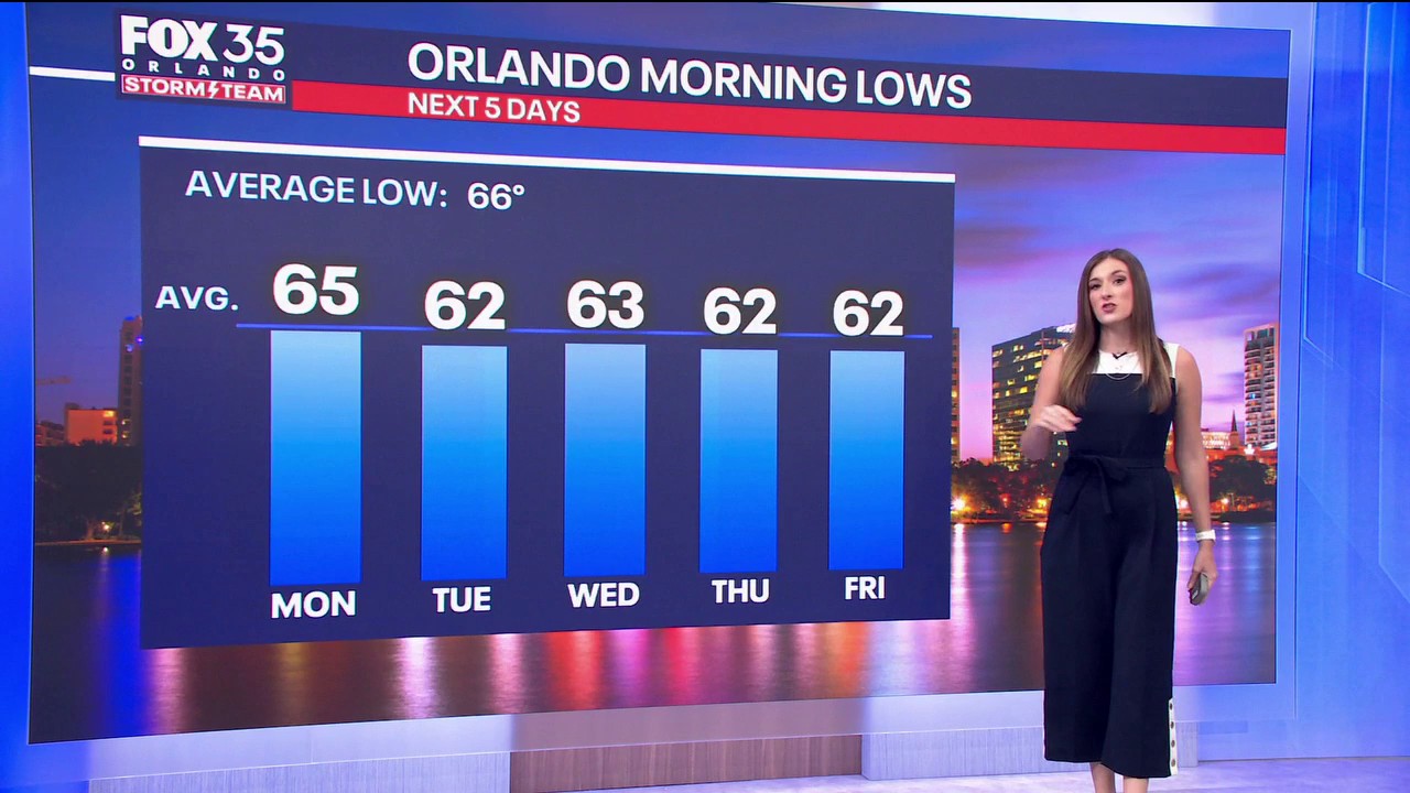 Orlando Weather: Blustery with a few showers to start off the week
FOX 35 Orlando The wind is getting going here at home and Meteorologist Laurel Blanchard says gusts could rise beyond 30–40 mph. Tune in to see how long the Fall-Like conditions stick around.
-
 Cool and mild trend into next week.
KTEN Here is your Saturday night forecast from Meteorologist Parker Schroeder. - Shakeup Saturday: 5 of the top 8 teams in the Top 25 lost for the first time since 1989 - Abdul El-Sayed disavows Muslim Brotherhood and…
-
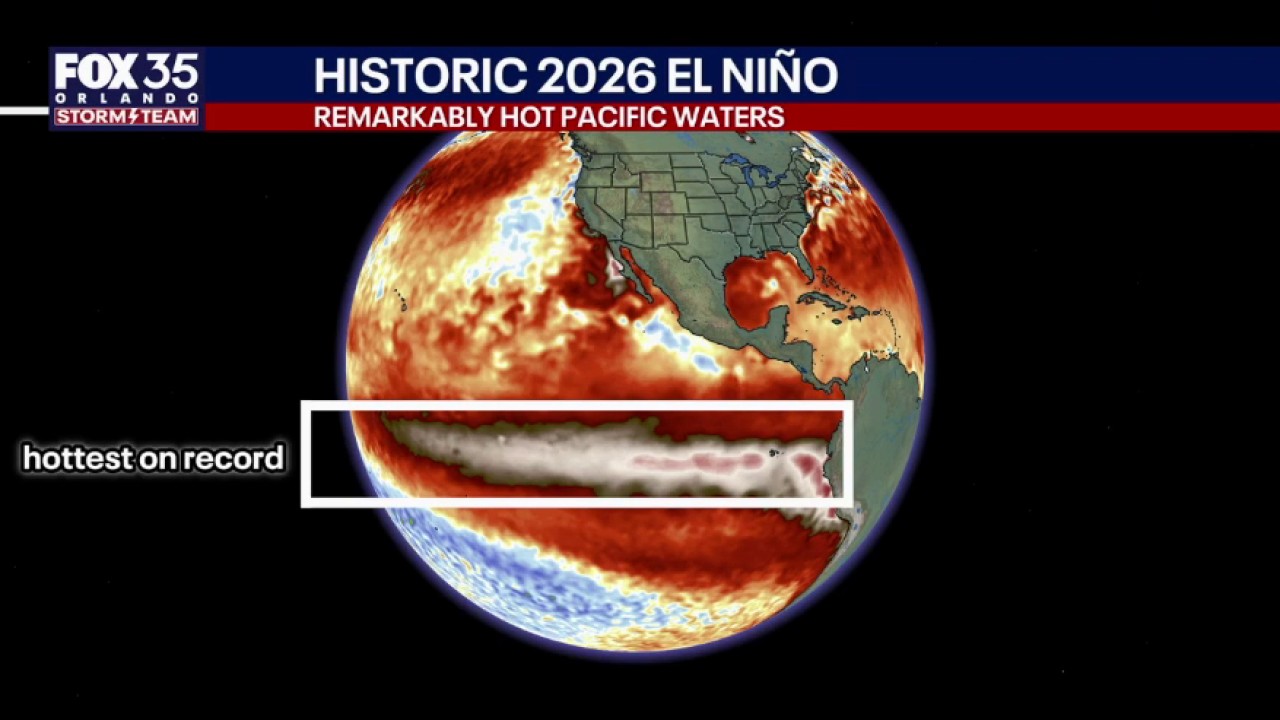 El Niño to bring heavy rain, tornadoes to Central Fla.
FOX 35 Orlando Will Ulrich, Wangin Coordination Meteorologist with NWS Melbourne, joined FOX 35's Garrett Wymer and Laurel Blanchard live to discuss the impact of El Niño on Central Florida.
-
 El Niño to bring heavy rain, tornadoes to Central Florida
FOX 35 Orlando El Nino causes a significant increase in tornadoes and rainfall in central Florida during November to March. A time of the year normally known for the lack of weather and only sporadic rain chances. Will…
-
 Severe Weather Is Possible Through Friday
KOKH Fox 25 provides, news, sports, weather and local event coverage in Oklahoma City and surrounding areas, including McLoud, Shawnee, Tecumseh, Seminole, Wewoka, Maud, Asher, Wanetted, Goldsby, Norman, Blanchard…
- Oklahoma City Weather: Heat, Storms And Sharp Cooldown
Oklahoma City is starting Tuesday, October 13, clear and in the low 70s, but the thermometer is headed for near-summer territory before a stormy midweek swing. The city is forecast to reach 90 degrees under mostly sunny…
-
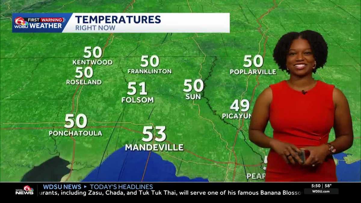 Southeast Louisiana weather: Sunny days, cool nights and growing fire concerns
The dry stretch continues into the weekend, with stronger breezes adding to fire concerns across southeast Louisiana and southern Mississippi. Sunny skies and warm afternoons stick around, but you may want a light…
Air quality
Acceptable. Unusually sensitive people should consider limiting prolonged outdoor exertion.
Forecast
- ThuModerate (64)
- FriModerate (64)
- SatModerate (58)
Shreveport, LA reporting area · 1 hr ago. Data from AirNow (EPA and its state, local and tribal partners); preliminary and subject to change.
Sun & moon
Almanac
MonthlyShreveport Area, records since 1874. Normals 1991–2020. Data from NOAA's Regional Climate Centers (ACIS).
Nearby
Forecasters' discussion
From the National Weather Service office in SHV, issued 3 hrs ago
Key Messages
Issued at 138 PM CDT Thu Oct 22 2026
- Slightly above average warmth and prolonged dry conditions will maintain an elevated wildfire risk throughout much of the 7-day forecast period.
- The lack of appreciable rainfall and growing rainfall deficit will result in further drought degradation through the end of this month.
- Longer range guidance just beyond the next 7 days suggests the potential for a more active pattern closer to Halloween into early November.
Discussion
Issued at 138 PM CDT Thu Oct 22 2026
Expansive ridging aloft across the central and eastern CONUS will combine with sfc high pressure firmly entrenched across the Great Lakes and OH Valley to yield persistent warm and dry conditions through the middle of next week. As a result, temperatures will continue to run slightly above average with daily afternoon highs generally in the middle 80s through Saturday as the center of the ridge axis moves overhead. As the ridge axis gradually shifts to the east early next week, high temperatures are expected to ease slightly back down into the upper 70s to lower 80s. Meanwhile, dry air in place along with light winds and clear skies will continue to promote efficient radiational cooling each night with overnight lows dropping back into the mid 40s to mid 50s. Unfortunately, the dry air also comes with a price amidst our very prolonged drought with a continued fire danger as min RH values drop into the 20-30 percent range each afternoon.
Despite dry conditions prevailing into early next week, a pattern shift still appears to be on the horizon just beyond this 7-day period. Initially, an upper trough digging well out to our west this weekend will begin ejecting into the Rockies and Great Plains by Sunday into Monday. Due to the ridge in place across our region and into the SE CONUS, the trough will be deflected farther north well away from us so don't expect any rainfall in the near future. However, the trough will help to slowly dampen the ridge and erode it completely by the middle of next week. With this shift in the longwave pattern, notable weather changes appear likely in terms of increasing rain chances toward the end of the month with a more SW flow pattern aloft. Timing of this more active pattern arriving appears to closely coincide with Halloween into early November so welcome rainfall may finally be on the way, albeit at the expense of Halloween trick-or-treaters.
/19/
Aviation
(18Z TAFS) Issued at 1227 PM CDT Thu Oct 22 2026
For the 22/18Z TAFS, VFR conditions will prevail throughout this forecast period, with mostly clear skies punctuated only by a few passing high clouds. East-northeast winds will become light and variable overnight before assuming a southeasterly course tomorrow at maximum sustained speeds of 4 to 8 mph.
/26/
Spotter Information Statement
Issued at 138 PM CDT Thu Oct 22 2026
Spotter activation may be needed through this week in the event of wildfire development.
Forecasts, observations and alerts in the United States come from the National Weather Service (NOAA); radar from NOAA's Multi-Radar Multi-Sensor system; satellite imagery from NASA's Global Imagery Browse Services (GIBS) and NOAA's GOES satellites; the map from the U.S. Geological Survey's National Map; air quality from AirNow (EPA and its partners); hurricane information from the National Hurricane Center; climate normals and records from NOAA's Regional Climate Centers (ACIS). Forecasts outside the United States and the UV index: MET Norway (CC BY 4.0); observations outside the U.S.: airport reports via NOAA's Aviation Weather Center. Place names: GeoNames (CC BY 4.0). Data are copied on a schedule and may lag the sources; for warnings that affect your safety, follow your local National Weather Service office and emergency officials. Weather news is drawn from the 4Conservative index and reflects what the press published. Terms of use.