Install
Rockville, MN 56369 Weather
Current conditions
Observed at St. Cloud Regional Airport · 1 hr ago
Forecast
10-day-
Saturday
Rain showers likely between 7am and 4pm. Mostly cloudy. High near 70, with temperatures falling to around 60 in the afternoon. West southwest wind 10 to 15 mph, with gusts as high as 25 mph. Chance of precipitation is 70%. New rainfall amounts less than a tenth of an inch possible.
-
Saturday Night
Mostly cloudy, with a low around 39. Northwest wind 0 to 5 mph. New rainfall amounts less than a tenth of an inch possible.
-
Sunday
Partly sunny, with a high near 53. North northwest wind 0 to 5 mph.
National Weather Service forecast updated 1 day ago.
Hourly
Hourly forecast- Now67°22%
- 12 PM68°40%
- 1 PM69°42%
- 2 PM66°66%
- 3 PM65°15%
- 4 PM63°0.01
- 5 PM60°0.01
- 6 PM58°0.01
- 7 PM56°
- 8 PM53°
- 9 PM51°
- 10 PM50°
- 11 PM49°
- Sun12 AM48°
- 1 AM47°
- 2 AM45°
- 3 AM44°
- 4 AM42°
- 5 AM41°
- 6 AM40°
- 7 AM40°11%
- 8 AM41°11%
- 9 AM44°11%
- 10 AM46°11%
10-day forecast
Details- TonightOct 22Partly Cloudy54°
- FriOct 23Partly Sunny then Chance Rain Showers38%60°72°
- TodayOct 24Rain Showers Likely66%39°70°
- SunOct 25Partly Sunny28%37°53°
- MonOct 26Chance Rain Showers56%36°47°
- TueOct 27Rain Showers Likely56%42°52°
- WedOct 28Chance Rain Showers39%40°59°
- ThuOct 29Mostly Sunny10%53°
- FriOct 30Mostly sunny30°42°
- SatOct 31Sunny34°54°
Days after the National Weather Service's seven are MET Norway's outlook, a computer model with no forecaster's review.
Radar
Full mapWeather news in Minnesota
More weather news-
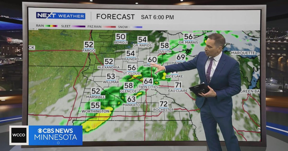 Minnesota weather to feature warm temps Saturday before cooldown | Oct. 23, 2026
CBS News Minnesota is a local news organization that is part of CBS News and Stations. Also referred to as WCCO-TV and channel 4, CBS News Minnesota offers local breaking news, weather coverage and investigative…
-
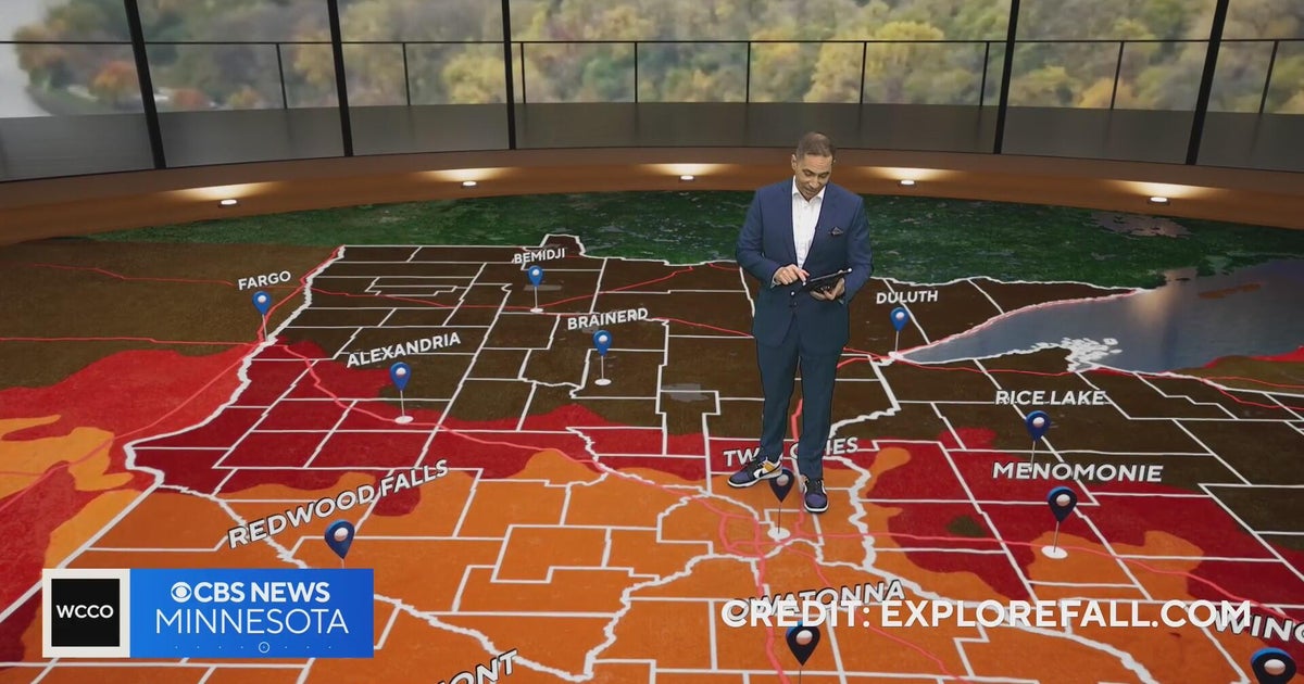 Minnesota weather: one last warm day, then a damp, cool change | Oct. 23, 2026
CBS News Minnesota is a local news organization that is part of CBS News and Stations. Also referred to as WCCO-TV and channel 4, CBS News Minnesota offers local breaking news, weather coverage and investigative…
-
 Another round of wind and showers Saturday in Minnesota | Oct. 24, 2026
CBS News Bay Area Morning Edition Weekend 6am WBZ This Morning 8am CBS News Chicago Saturday 8am CBS Colorado Mornings Weekend CBS News Los Angeles Weekend 6am CBS News Miami This Morning 9am WCCO News Saturday Morning…
-
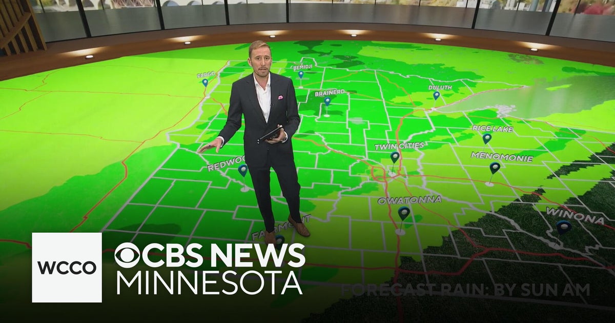 Minnesota's weather is about to pivot back to fall | Oct. 23, 2026
CBS News Minnesota is a local news organization that is part of CBS News and Stations. Also referred to as WCCO-TV and channel 4, CBS News Minnesota offers local breaking news, weather coverage and investigative…
-
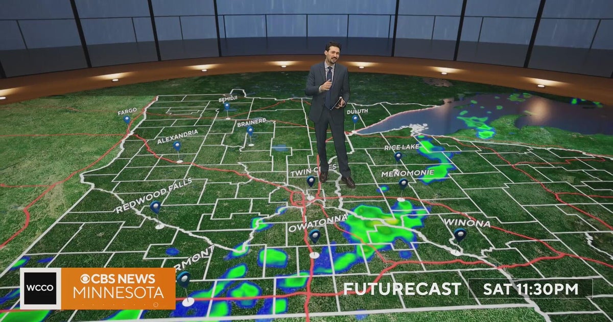 Minnesota weather turns cooler after a Saturday cold front brings light showers | Oct. 23, 2026
Rain chances improve Saturday afternoon and evening, with amounts under a tenth of an inch and gusts near 30 mph. Highs reach the 70s ahead of the front, then fall to the mid 50s Sunday, WCCO meteorologist Joseph Dames…
-
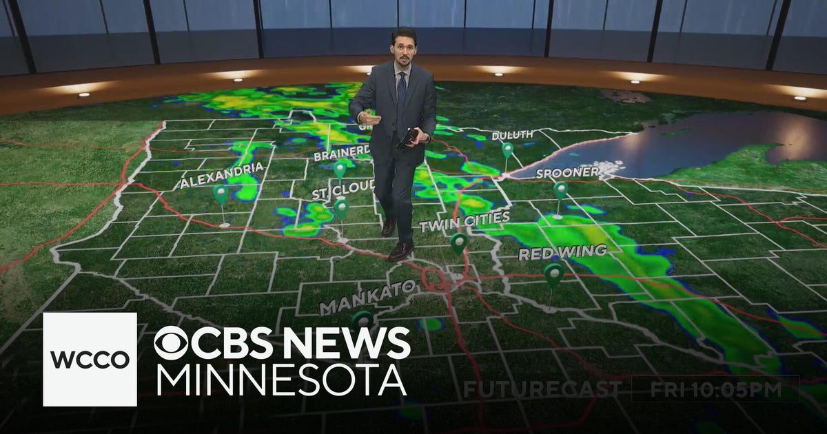 Last taste of mild fall weather in Minnesota | Oct. 23, 2026
CBS News Minnesota is a local news organization that is part of CBS News and Stations. Also referred to as WCCO-TV and channel 4, CBS News Minnesota offers local breaking news, weather coverage and investigative…
-
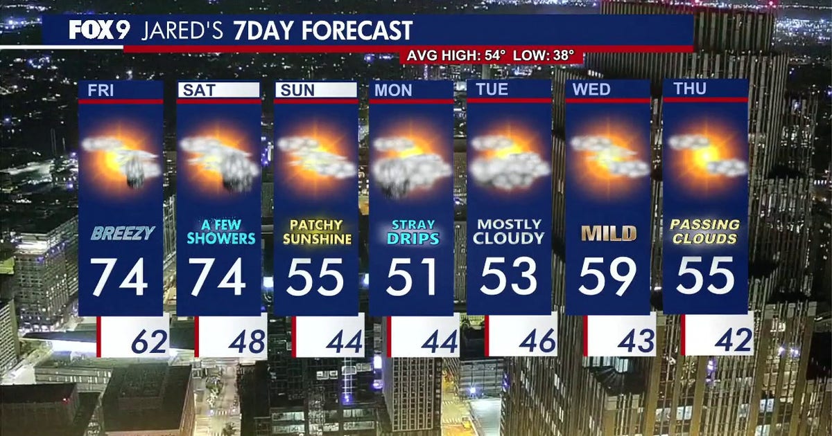 Minnesota weather: Breezy and warm Friday with small rain chances later
Friday is staying warm with small rain chances later in the afternoon. FOX 9 meteorologist Jared Piepenburg has the full forecast. MINNEAPOLIS (FOX 9) - Friday is off to a mild and quiet start before a warm and breezy…
-
 Minnesota sees chances for rain and more seasonable temps soon | Next Weather 10 p.m. Oct. 22, 2026
CBS News Minnesota is a local news organization that is part of CBS News and Stations. Also referred to as WCCO-TV and channel 4, CBS News Minnesota offers local breaking news, weather coverage and investigative…
-
 Minnesota gets 3 more days in the 70s, then a cold front cuts the weekend in half | Oct. 22, 2026
Thursday and likely Friday and Saturday all reach the mid 70s, then a cold front moves through Saturday evening and night, dropping highs into the 50s Sunday and the lower 50s Monday through Wednesday, WCCO…
-
 Amazing fall weather in Minnesota | Oct. 22, 2026
CBS News Baltimore 8am CBS News Boston 8am CBS News Chicago 7am CBS News Colorado This Morning 6am CBS News Los Angeles Mornings 5am CBS News Miami 8am CBS News New York 8am CBS News Texas 7am
Air quality
Air quality is satisfactory, and air pollution poses little or no risk.
Forecast
- SatGood (39)
- SunGood
- MonGood
St. Cloud Area, MN reporting area · 1 hr ago. Data from AirNow (EPA and its state, local and tribal partners); preliminary and subject to change.
Sun & moon
Almanac
MonthlySaint Cloud Area, records since 1894. Normals 1991–2020. Data from NOAA's Regional Climate Centers (ACIS).
Nearby
- Saint Cloud 17 km
- Sartell 20 km
- Buffalo 49 km
- Sauk Rapids 19 km
- Monticello 47 km
- Big Lake 49 km
- Little Falls 56 km
- Waite Park 13 km
- Albertville 60 km
- Litchfield 41 km
- Saint Joseph 10 km
- Zimmerman 59 km
Forecasters' discussion
From the National Weather Service office in MPX, issued 5 hrs ago
Key Messages
- Warm today, followed by a return to seasonal temperatures for much of the upcoming week.
- Multiple chances for rain through the middle of next week. Heaviest rainfall amounts expected across western MN.
Discussion
Issued at 250 AM CDT Sat Oct 24 2026
Slow-moving band of rain showers is exiting eastward across western WI, with a more recent batch trailing showers captured on radar over portions of central MN. These showers have developed within a 40- 50kt LLJ that spans from SW to NE across MN. Not anticipating these showers to be too heavy as latest ACARS data along with forecast soundings depict a very dry lowest 10k feet of the column along with a lack of elevated instability. Breezy southeasterly surface flow combined with cloud cover is working to limit cooling, so morning lows are on track to only dip into the upper 50s to lower 60s (this is ~5-7 degrees warmer than normal highs this late in October!).
One more warm day ahead, as the Upper Midwest begins the day located within the warm sector of a deepening surface cyclone positioned over south central Canada. The system is progged to rapidly lift northeast through the day and will send a trailing cold front southeastward across the forecast area. The front is progged to be near the border of the Dakotas and MN by daybreak, where showers and a few rumbles of thunder will be possible through the morning. The morning frontal position sets the stage for a 10+ degree high temperature gradient from western MN to western WI. The earlier frontal passage across western MN will limit heating and support highs in the lower 60s. Surface heating is forecast to be more efficient through the morning and into the early afternoon to the east of the front over much of east- central and southeastern MN as well as western WI. Filtered sunshine and ongoing WAA will yield highs in the low to mid 70s for locations that remain east of the front through midday. The band of rain showers will move east towards the I-35 corridor this afternoon and continue to drift eastward through the evening. Rainfall amounts will be the greatest across western MN (isolated tenth to quarter inch amounts possible) and decrease with eastward movement through the day (a few hundredths across southeastern MN/western WI). Winds turn northwesterly behind the frontal passage and will usher in much cooler air for Sunday. Forecast highs fall to more seasonal levels in the low to mid 50s. The mostly cloudy and cooler Sunday weather will also feature the potential for a few isolated raindrops.
Better chances for widespread rain (particularly across the western half of the forecast area) will arrive early in the work week as a compact upper-level shortwave lifts north through the Plains. Associated surface low is forecast to develop and track from central NE to northwestern MN Monday into Tuesday. This evolution will combine with PWATs 200-250% of normal to support a shield of heavy precipitation along the surface low track. A swath of 1-1.5" rainfall amounts appears most likely along the consensus low track from central NE to eastern SD into far western MN. While most communities will observe rain, overall amounts will lower as one moves east from far western MN. Continued cloud cover and rain spreading north results in cooler highs in the 40s across much of central/western MN on Monday.
The aforementioned upper-level shortwave is progged to shear out near the International Border as a more potent trailing wave digs across the northern CONUS Tuesday into Wednesday. This will spawn a surface cyclone near the International Border, once again placing the Upper Midwest on the "warm side" of the system. Temperatures should rebound into the 50s/60s on Tuesday prior to the passage of another front late Tuesday into Wednesday morning. Guidance varies on the timing and coverage of precipitation during this period, but the 30-50% PoPs early in the day on Wednesday tend to represent the forecast uncertainties well at this distance. Our latest forecast shows highs in the low to mid 60s following the early morning precipitation on Wednesday. We'll note that these temperatures may be too warm should the timing and evolution of upper-level and surface features slow down in upcoming forecasts.
The second half of next week features a return to large scale ridging over central CONUS, however influence from an active southwesterly jet may support occasional rain chances. In addition, the ridging is fueling a growing number of ensemble members (including machine learning ensemble counterparts) that feature a return to above normal temperatures heading into Halloween weekend. Should this become more of a "trend" we could see the NBM warm out of the upper 50s (which is already above normal) late next week.
Aviation
Issued at 552 AM CDT Sat Oct 24 2026
12z TAF package is largely unchanged as the going forecast is on track. A cold front will move eastward across the TAF sites later today and will result in a wind shift from out of the south to out of the northwest. Breezy southerly winds will gust up to 25kts prior to the frontal passage. Winds then diminish behind the front heading into this evening. A brief period of VFR showers may accompany the frontal passage. Coverage of showers will likely be greatest across western MN and then will become more scattered as the boundary moves east later in the period. Cigs prevail VFR for the majority of the period, though a brief dip to MVFR cannot be ruled out in association with shower chances.
KMSP...No major changes to pass along with the new 12z TAF. Best chance for -SHRA is between 22-01z. Most significant wind shift from WSW to NW is forecast to occur during this time frame.
/OUTLOOK FOR KMSP/ SUN...VFR, chc -SHRA/MVFR. Wind N 5kts. MON...-RA/MVFR likely, chc IFR. Wind NE 5-10kts. TUE...-SHRA/MVFR. Wind SE 10-15kts.
Mpx Watches
MN...None. WI...None.
Forecasts, observations and alerts in the United States come from the National Weather Service (NOAA); radar from NOAA's Multi-Radar Multi-Sensor system; satellite imagery from NASA's Global Imagery Browse Services (GIBS) and NOAA's GOES satellites; the map from the U.S. Geological Survey's National Map; air quality from AirNow (EPA and its partners); hurricane information from the National Hurricane Center; climate normals and records from NOAA's Regional Climate Centers (ACIS). Forecasts outside the United States and the UV index: MET Norway (CC BY 4.0); observations outside the U.S.: airport reports via NOAA's Aviation Weather Center. Place names: GeoNames (CC BY 4.0). Data are copied on a schedule and may lag the sources; for warnings that affect your safety, follow your local National Weather Service office and emergency officials. Weather news is drawn from the 4Conservative index and reflects what the press published. Terms of use.