Install
Iowa City, IA 52244 Weather
Current conditions
Observed at Iowa City Municipal Airport · 41 min ago
Forecast
10-day-
Monday
Mostly cloudy, with a high near 70.
-
Monday Night
Mostly cloudy, with a low around 49.
-
Tuesday
Mostly cloudy, with a high near 65.
National Weather Service forecast updated 4 days ago.
Hourly
Hourly forecast- Now69°
- 3 PM69°
- 4 PM69°
- 5 PM68°
- 6 PM66°
- 7 PM64°
- 8 PM61°
- 9 PM58°
- 10 PM56°
- 11 PM55°
- Tue12 AM54°
- 1 AM53°
- 2 AM52°
- 3 AM51°
- 4 AM50°
- 5 AM49°
- 6 AM49°
- 7 AM49°
- 8 AM50°
- 9 AM52°
- 10 AM54°
- 11 AM57°
- 12 PM60°
- 1 PM62°10%
10-day forecast
Details- ThuOct 22Sunny51°77°
- FriOct 23Sunny55°76°
- SatOct 24Mostly Sunny54°75°
- SunOct 25Mostly Sunny52°75°
- TodayOct 26Mostly Cloudy49°70°
- TueOct 27Mostly Cloudy13%49°65°
- WedOct 28Slight Chance Rain Showers20%47°66°
- ThuOct 29Sunny0.12 in41°60°
- FriOct 30Partly cloudy37°49°
- SatOct 31Cloudy37°57°
Days after the National Weather Service's seven are MET Norway's outlook, a computer model with no forecaster's review.
Radar
Full mapWeather news in Iowa
More weather news-
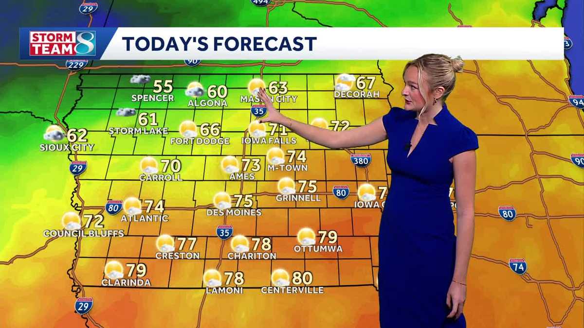 Iowa weather: A beautiful Sunday before rain chances ramp up
It'll be another perfect fall day today with high temperatures slightly cooler than yesterday in the mid 70s and less of a breeze. A cold front slowly moving across the state today will keep temperatures in northern…
-
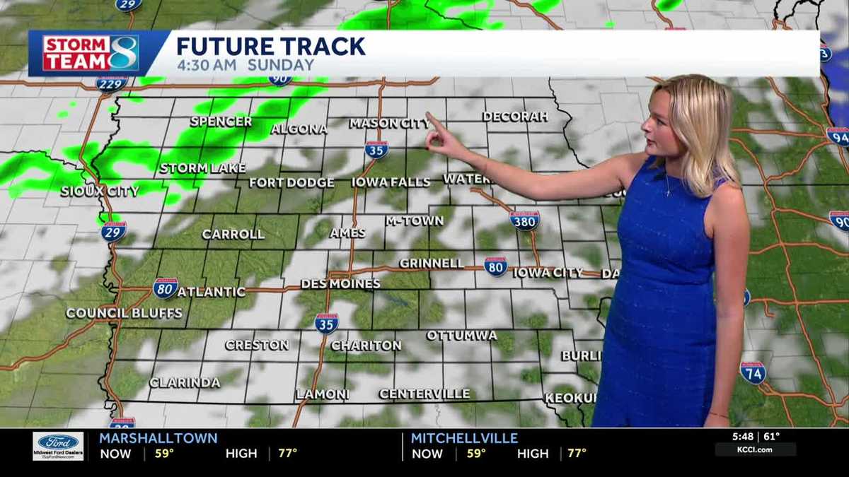 Iowa weather: A warm weekend before spotty showers next week
We'll have a great day for outdoor plans this Saturday with highs warmer than average in the upper 70s with a mix of sun and clouds. It'll be less gusty compared to yesterday but still breezy with gusts up to 20mph…
-
 AP Trending SummaryBrief at 12:34 p.m. EDT
How daylight saving time changes affect you and what you can do about it How daylight saving time changes affect you and what you can do about it It's almost time for most Americans to set their clocks back an hour…
- AP Trending SummaryBrief at 11:53 a.m. EDT
How daylight saving time changes affect you and what you can do about it How daylight saving time changes affect you and what you can do about it It's almost time for most Americans to set their clocks back an hour…
-
 Vance no longer a hurricane but still threatens Mexico’s Pacific coast as a tropical storm
MIAMI — A gradually weakening Tropical Storm Vance churned Sunday off Mexico’s southwest Pacific coast but still threatened heavy rains and flash flooding in several western states of the country. Vance, a former…
-
 Vance no longer a hurricane but as a tropical storm still threatens Mexico's Pacific coast
Tropical Storm Vance is churning off Mexicoâs southwest Pacific coast after a day of gradual weakening but is threatening several western states in that country with heavy rain and possible flash flooding. Elsewhere…
-
 Carmelo’s First Alert 6 Forecast: Light rain tonight, unsettled at times this week
OMAHA, Neb. (WOWT) - Light rain is possible late this evening and into the overnight hours here in Omaha, with scattered showers potentially continuing into Monday morning. Don’t expect much — amounts will be very…
-
 Continued rain chances this week followed by warmer temperatures
SIOUX CITY (KTIV) - A few showers moved over Siouxland last night, and there is more widespread rain on the way. Widespread showers move into Siouxland Sunday night under an overcast sky. Winds will remain out of the…
-
 Chicago facing last week of warm weather before temperature drops
The week leading up to Halloween will likely be the last with highs in the 70s before weather patterns turn colder and stormier. Highs in the Chicago area could reach 75 degrees Sunday, according to the National Weather…
-
 Plenty of rain chances ahead along with a steady warming trend likely
SIOUX CITY (KTIV) - A cool Sunday is ahead along with more rain chances throughout the day and into next week. A steady warming trend is also likely across the area. Above average temperatures are expected. A cool and…
Air quality
Acceptable. Unusually sensitive people should consider limiting prolonged outdoor exertion.
Forecast
- MonModerate (69)
- TueModerate (65)
- WedModerate (56)
Southeast Iowa, IA reporting area · 1 hr ago. Data from AirNow (EPA and its state, local and tribal partners); preliminary and subject to change.
Sun & moon
Almanac
MonthlyCedar Rapids Area, records since 1893. Normals 1991–2020. Data from NOAA's Regional Climate Centers (ACIS).
Nearby
- Cedar Rapids 48 km
- Marion 52 km
- Muscatine 54 km
- Coralville 13 km
- North Liberty 20 km
- Washington 31 km
- Hiawatha 52 km
- Mount Vernon 44 km
- West Liberty 33 km
- Robins 55 km
- Tipton 49 km
- Williamsburg 30 km
Forecasters' discussion
From the National Weather Service office in DVN, issued 2 hrs ago
Key Messages
- Unseasonably mild fall weather continues through the end of the week with passing clouds and relatively light winds.
- Mostly dry conditions expected for the beginning of the week with chances gradually increasing midweek and into the weekend.
Short Term
Issued at 1242 AM CDT Mon Oct 26 2026
A Canadian high pressure nudges a weak boundary southward to the Highway 34 corridor today as easterly flow sets in across much of the CWA. Highs will be slightly cooler in the 60s for areas north of Highway 34 but remain warmer in the low-to- mid-70s further south. After sunset, a subtle shortwave lifts into the Northern Plains, dragging a low pressure system with it across northwestern Iowa and southern Minnesota. This will pull the boundary near the Highway 34 corridor northward into Wisconsin on Tuesday with southerly flow returning. Highs once again climb into the low-to-mid-70s areawide. There is a small chance for spotty rain showers along the I-380 and Highway 20 corridors in Iowa late tonight into Tuesday, but dry air in the low levels should limit coverage (less than 10%).
Long Term
Issued at 1242 AM CDT Mon Oct 26 2026
Tuesday Night-Thursday...Another shortwave trough swings into North Dakota and south-central Canada. As today's low pressure occludes, a secondary low pressure forms over the Dakotas and follows the trough into Canada on Wednesday. A cold front will lag behind the new low and move into northern Iowa Wednesday night before stalling over our CWA on Thursday with zonal flow aloft. Moisture from the tropical Pacific could support scattered PoPs (30-60%) ahead of and along this stalling front.
Friday-Sunday...The end of the week appears to be a similar set-up to today with the region sandwiched between a low pressure over the Central Plains and a high pressure over the Great Lakes. This will support southeasterly flow across the CWA with a weak warm front along the confluence zone. Continued advection of Pacific moisture keeps PoPs (30-50% coverage) around Friday through Saturday night. On Sunday, the longwave trough over the western CONUS is likely to eject eastward into the Northern Rockies, paving the way for a more active pattern heading into the first week of November.
Aviation
Issued at 1218 PM CDT Mon Oct 26 2026
VFR conditions will prevail through the TAF period. A weak cold front is draped over the area, resulting in some variable winds. South of the front, we are generally seeing light and variable winds, with those north of the front seeing easterly winds around 10 KTs. Winds will become more southeasterly as we go through the TAF period, with a mix of mid-high clouds. Otherwise, no sig wx is expected at this time.
Forecasts, observations and alerts in the United States come from the National Weather Service (NOAA); radar from NOAA's Multi-Radar Multi-Sensor system; satellite imagery from NASA's Global Imagery Browse Services (GIBS) and NOAA's GOES satellites; the map from the U.S. Geological Survey's National Map; air quality from AirNow (EPA and its partners); hurricane information from the National Hurricane Center; climate normals and records from NOAA's Regional Climate Centers (ACIS). Forecasts outside the United States and the UV index: MET Norway (CC BY 4.0); observations outside the U.S.: airport reports via NOAA's Aviation Weather Center. Place names: GeoNames (CC BY 4.0). Data are copied on a schedule and may lag the sources; for warnings that affect your safety, follow your local National Weather Service office and emergency officials. Weather news is drawn from the 4Conservative index and reflects what the press published. Terms of use. How to use Weather