Install
Iowa City, IA 52242 Weather
Current conditions
Observed at Iowa City Municipal Airport · 1 hr ago
Forecast
10-day-
Saturday Night
Partly cloudy, with a low around 54.
-
Sunday
Partly sunny, with a high near 75.
-
Sunday Night
Mostly cloudy, with a low around 53.
National Weather Service forecast updated 2 days ago.
Hourly
Hourly forecast- Now60°
- Sun12 AM59°
- 1 AM58°
- 2 AM57°
- 3 AM56°
- 4 AM55°
- 5 AM54°
- 6 AM54°
- 7 AM54°
- 8 AM56°
- 9 AM58°
- 10 AM61°
- 11 AM65°
- 12 PM68°
- 1 PM72°
- 2 PM74°
- 3 PM75°
- 4 PM75°
- 5 PM73°
- 6 PM71°
- 7 PM68°
- 8 PM65°
- 9 PM62°
- 10 PM60°
10-day forecast
Details- ThuOct 22Sunny52°78°
- FriOct 23Sunny54°76°
- TodayOct 24Mostly Sunny54°74°
- SunOct 25Partly Sunny53°75°
- MonOct 26Mostly Cloudy25%48°69°
- TueOct 27Chance Rain Showers25%45°61°
- WedOct 28Partly Sunny14%46°63°
- ThuOct 29Partly cloudy35°55°
- FriOct 30Sunny31°50°
- SatOct 31Partly cloudy37°57°
Days after the National Weather Service's seven are MET Norway's outlook, a computer model with no forecaster's review.
Radar
Full mapWeather news near Iowa City
More weather news-
 Lane shift planned on Mount Vernon Drive in Iowa City
Drivers on Mount Vernon Drive in Iowa City should expect shifted lanes starting Tuesday, Oct. 20, weather permitting.The lane shift will affect the stretch betw ... Lane shift planned on Mount Vernon Drive in Iowa City…
-
 Dangerous Freeze Warnings Issued for Iowa, Wisconsin, Minnesota and Illinois as Temperatures Drop
Freeze Warnings take effect early Saturday across much of Iowa, Wisconsin, southeast and central Minnesota and northern Illinois, with lows as cold as 26 degrees expected. Seven National Weather Service offices issued…
-
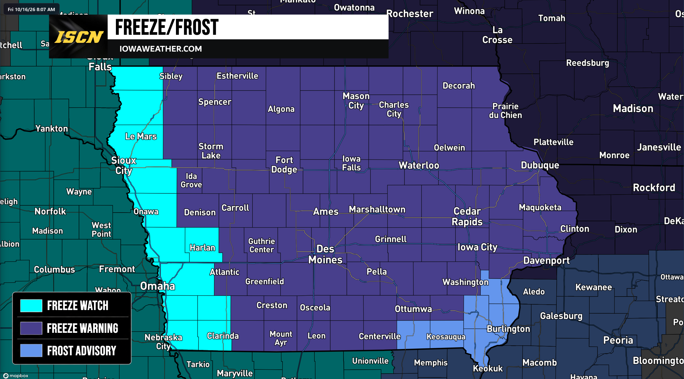 Widespread Freeze Warnings Issued Across Iowa as Temperatures Could Drop Into the 20s Saturday Morning
A widespread round of freezing temperatures is expected across Iowa early Saturday morning, prompting the National Weather Service to issue Freeze Warnings, Freeze Watches, and Frost Advisories for the entire state…
-
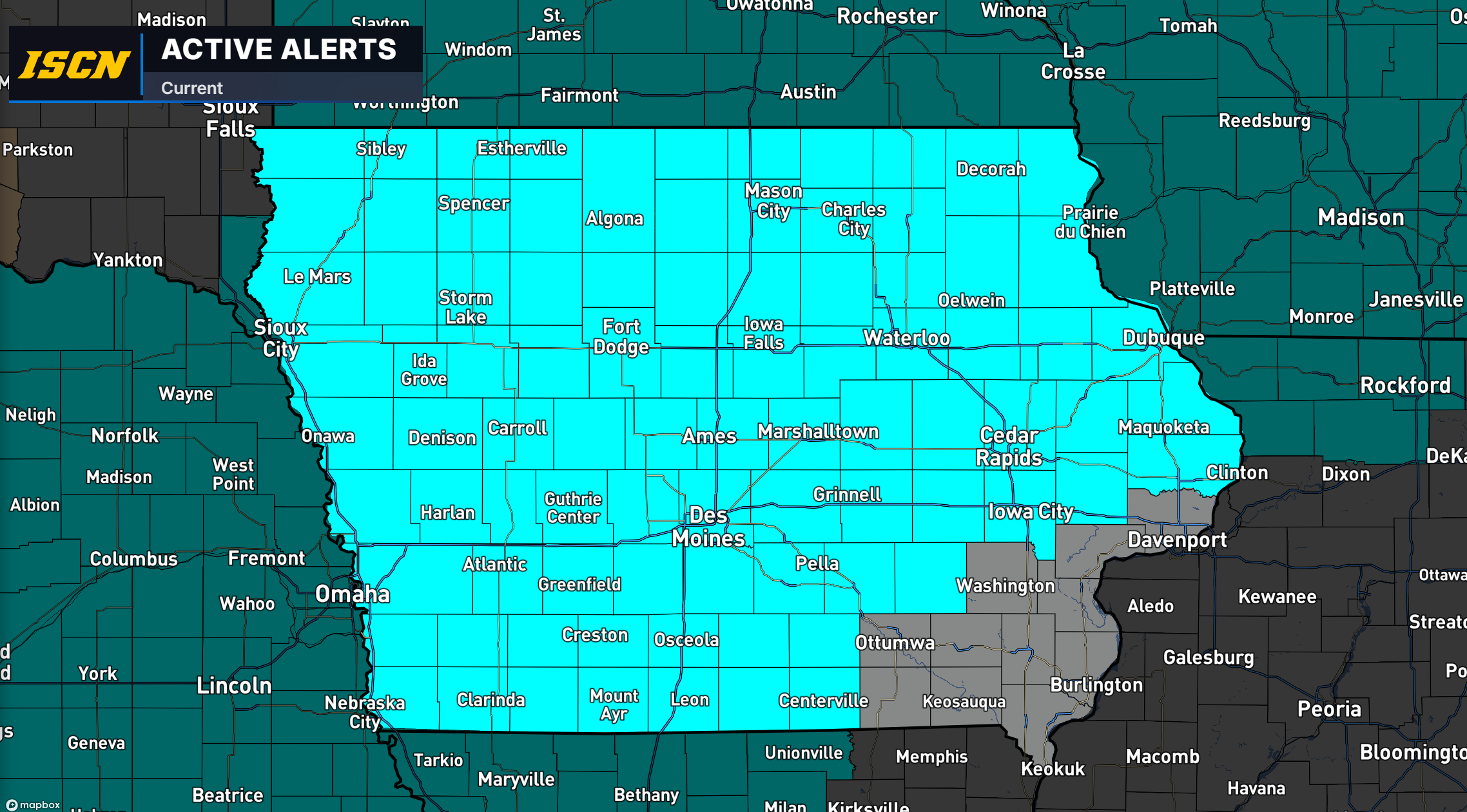 Freeze Watch Issued for Much of Iowa as Temperatures Could Drop Into the 20s Saturday Morning
Much of Iowa could experience a widespread freeze this weekend as colder air moves into the region, bringing some of the lowest temperatures of the fall season. The National Weather Service has issued a Freeze Watch for…
-
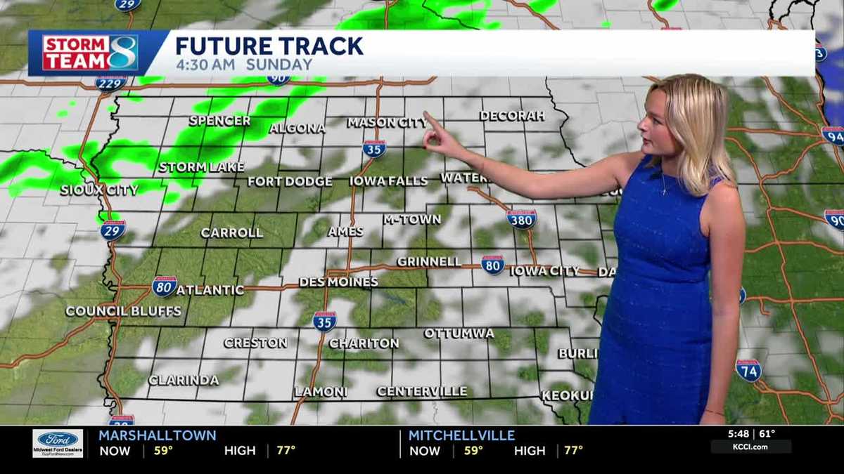 Iowa weather: A warm weekend before spotty showers next week
We'll have a great day for outdoor plans this Saturday with highs warmer than average in the upper 70s with a mix of sun and clouds. It'll be less gusty compared to yesterday but still breezy with gusts up to 20mph…
-
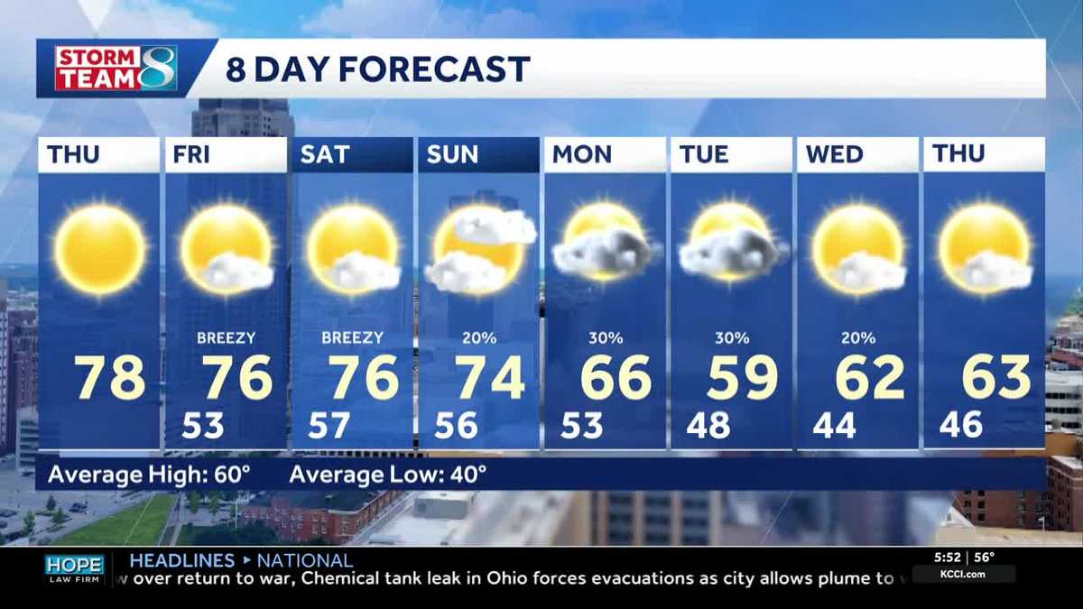 Iowa weather: Warm days continue into the weekend
We will continue to enjoy sunny weather for the rest of the week. Today is no exception, with highs in the mid- to upper-70s and south winds around 5 to 10 mph. A light layer may still be warranted for some of us, with…
-
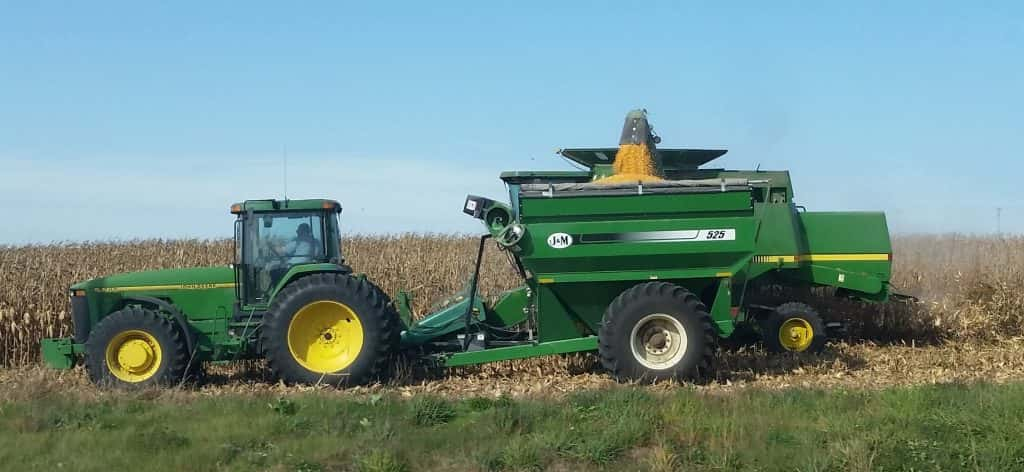 Corn and Soybean Harvest Behind Schedule in Iowa, First Frost of Season Seen
Corn and soybean harvest is behind schedule in Iowa. Ninety-eight percent of corn has reached maturity, which is even with the five-year average. Twenty-six percent of corn has been harvested, which is 24 percentage…
-
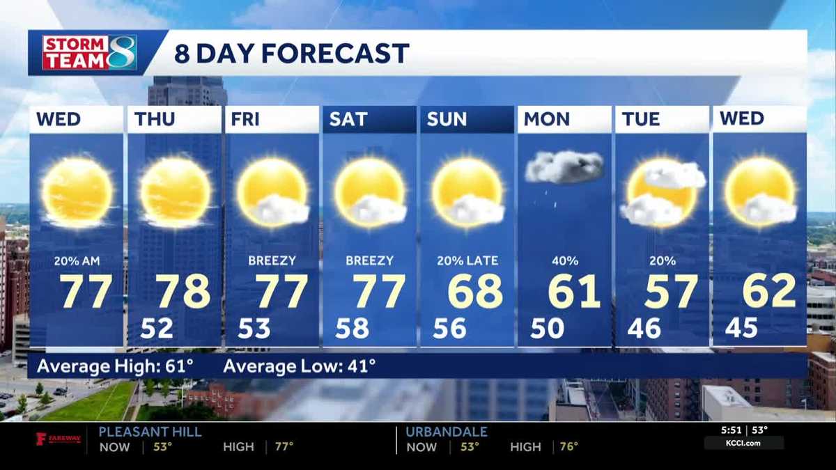 Iowa weather: Warm, dry conditions will come to an end next week
Clouds will linger a bit this morning, but most of the state will stay dry. Interactive Radar | Weather Alerts | Skycams There have been a few showers early this morning to the south and west, but the moisture is…
-
 Warm and dry weather pattern holds across Iowa
KWWL Unseasonably warm and dry conditions will continue tonight across Waterloo and much of Iowa. Patchy morning fog is possible, with a chance of rain returning this weekend.
-
 Thanksgiving weather predictions are out. What almanacs say for Iowa.
Iowa has finally been blessed with sunshine after September became the wettest month in 112 years. But will that sunshine last until Thanksgiving? Thanksgiving in 2026 falls on Thursday, Nov. 26. The holiday is always…
Sun & moon
Almanac
MonthlyCedar Rapids Area, records since 1893. Normals 1991–2020. Data from NOAA's Regional Climate Centers (ACIS).
Nearby
- Cedar Rapids 39 km
- Marion 42 km
- Muscatine 50 km
- Coralville 3 km
- North Liberty 10 km
- Washington 42 km
- Hiawatha 43 km
- Anamosa 54 km
- Mount Vernon 31 km
- West Liberty 26 km
- Robins 46 km
- Tipton 37 km
Forecasters' discussion
From the National Weather Service office in DVN, issued 9 hrs ago
Key Messages
- Unseasonably mild fall weather will continue through the upcoming work week, with passing clouds and lighter winds.
- Mostly dry conditions expected into the middle of the upcoming work week, with chances gradually increasing as we head towards the end of the week.
Short Term
Issued at 149 PM CDT Sat Oct 24 2026
Upper ridge will largely remain in place through Sunday, but will gradually start to flatten out overhead due to a wave digging into the north-central CONUS and a wave over the Rockies guiding weak bouts of energy into the region. As such, a cold front will remain draped off to our northwest going into tonight, slowly tracking southeast towards eastern Iowa Sunday into Monday. Under this pattern, we will continue to see llvl southwesterly flow, favoring a continuation of warm advection into the region. As a result, temperatures will remain above seasonal normals through the remainder of the weekend, with daytime temperatures in the low-mid 70s. With the boundary slowly approaching the area and weak bouts of upper level energy passing overhead, we will continue to see a mix of clouds as well. Overnight cloud cover will help moderate temperatures in the low-mid 50s tonight and Sunday night. While we will see warm advection into the region, moisture will remain quite limited. Thus, dry conditions are expected through the remainder of the weekend.
Enjoy the beautiful fall weekend!
Long Term
Issued at 149 PM CDT Sat Oct 24 2026
Monday/Tuesday...
Aforementioned wave will eject off of the Rockies and track northeast towards the northern CONUS. As this tracks northeast, the ridge overhead will continue to flatten and get shunted east of the area, with upper level southwesterly flow setting up over the region. LLVL southwesterly flow will also increase, with a surface warm front slowly passing through the area. As such, we will continue to see above normal temperatures in the low-mid 70s. As was mentioned in the previous forecast package, we will have a weak boundary nearby and subtle upper level forcing moving in. This was favoring low-end chances for precipitation, but confidence was low due to limited moisture. Latest forecast runs have come in largely dry through this timeframe, owing to too much dry air. Thus, will message a dry forecast, with passing clouds being the main sign of the slight increase in moisture.
Wednesday Onward...
Broad upper level southwest flow will set up over the central CONUS, with persistent llvl warm advection into the region. Thus, temperatures will remain above seasonal normals, with most in the mid 70s through the end of the week. Later in the week and into the weekend, we see stronger waves work into the region, ejecting off of the Rockies. These waves will increase southwesterly flow into the area, with better moisture working in. Thus, we will start to see precipitation chances increase midweek and beyond. Chances will increase for areas along and north of a line from Fairfield to Dubuque Iowa, expanding to the remainder of the area as we go into the upcoming weekend (30-60% chances Saturday into Sunday).
Aviation
Issued at 1216 PM CDT Sat Oct 24 2026
VFR conditions will prevail through the TAF period, with a southerly breeze around 10 KTs. Around 00z this evening and through tonight, winds will decrease to around 5 KTs. Otherwise, a mix of mid-high clouds will be seen through the TAF period. No sig wx is expected at this time.
Forecasts, observations and alerts in the United States come from the National Weather Service (NOAA); radar from NOAA's Multi-Radar Multi-Sensor system; satellite imagery from NASA's Global Imagery Browse Services (GIBS) and NOAA's GOES satellites; the map from the U.S. Geological Survey's National Map; air quality from AirNow (EPA and its partners); hurricane information from the National Hurricane Center; climate normals and records from NOAA's Regional Climate Centers (ACIS). Forecasts outside the United States and the UV index: MET Norway (CC BY 4.0); observations outside the U.S.: airport reports via NOAA's Aviation Weather Center. Place names: GeoNames (CC BY 4.0). Data are copied on a schedule and may lag the sources; for warnings that affect your safety, follow your local National Weather Service office and emergency officials. Weather news is drawn from the 4Conservative index and reflects what the press published. Terms of use.