Install
Oak Grove, KY 42262 Weather
Current conditions
Observed at Fort Campbell U. S. Army Airfield · 1 hr ago
Forecast
10-day-
This Afternoon
Sunny. High near 74, with temperatures falling to around 72 in the afternoon. Northeast wind around 6 mph.
-
Tonight
Clear, with a low around 43. Northeast wind 1 to 5 mph.
-
Wednesday
Sunny. High near 75, with temperatures falling to around 73 in the afternoon. Northeast wind 0 to 6 mph.
National Weather Service forecast updated 6 hrs ago.
Hourly
Hourly forecast- Now74°
- 5 PM72°
- 6 PM68°
- 7 PM61°
- 8 PM57°
- 9 PM55°
- 10 PM54°
- 11 PM50°
- Wed12 AM49°
- 1 AM47°
- 2 AM47°
- 3 AM46°
- 4 AM45°
- 5 AM44°
- 6 AM44°
- 7 AM43°
- 8 AM46°
- 9 AM52°
- 10 AM60°
- 11 AM65°
- 12 PM70°
- 1 PM73°
- 2 PM74°
- 3 PM75°
10-day forecast
Details- TodayOct 20Sunny43°74°
- WedOct 21Sunny45°75°
- ThuOct 22Sunny45°75°
- FriOct 23Sunny45°74°
- SatOct 24Sunny45°76°
- SunOct 25Mostly Sunny46°75°
- MonOct 26Mostly Sunny48°75°
- TueOct 27Sunny51°76°
- WedOct 28Cloudy56°70°
- ThuOct 29Sunny52°73°
Days after the National Weather Service's seven are MET Norway's outlook, a computer model with no forecaster's review.
Radar
Full mapWeather news near Oak Grove
More weather news- Weather alert issued for the Kansas City area Tuesday night
The National Weather Service issued a weather alert at 9:53 p.m. on Tuesday for strong thunderstorms until 10:15 p.m. The alert is for Jackson, Ray, Lafayette, Cass and Johnson counties. "At 9:53 p.m., Doppler radar…
- Here’s what the Super El Niño has in store for Kentucky this winter
Lexington Herald Leader Forecasters are pointing to a colder-than-normal winter for Kentucky, with a strengthening El Niño potentially sharpening the chill. Here’s a quick look at what Lexington and the broader region…
-
 Farmer’s Almanac Drops Thanksgiving Forecast and If It’s Correct, Folks in Indiana & Kentucky Should Get Their Snow Shovels Ready
In the past several years, Thanksgiving weather has been pretty warm. I don't recall the last time I saw snow on Thanksgiving in the Tri-State. We even spent Thanksgiving outside like a picnic a few years ago because it…
-
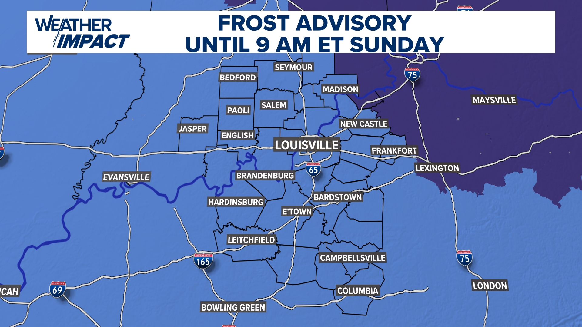 Frost Advisory Saturday night for Kentucky, southern Indiana
WHAS11 Frost Advisory Saturday night for Kentucky, southern Indiana Cover any sensitive vegetation in a cloth and bring in potted plants. The last time Louisville has a freeze was March 18, 2026. The normal first frost…
-
 NOAA’s Winter Outlook Has Good and Bad News for Kentucky and Indiana
The National Oceanic and Atmospheric Administration (NOAA) has released its U.S. winter outlook for 2026-2027, and it looks like El Niño will be a star player, for better or worse. And by that I mean there will be doses…
-
 Temperatures drop across South Central Kentucky
WBKO Temperatures drop across South Central Kentucky
-
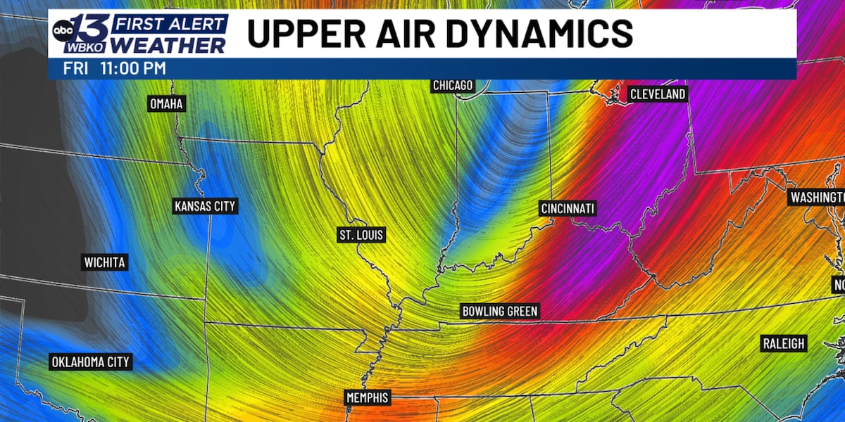 Jet stream dip brings dramatic fall temperature drop to South Central Kentucky
BOWLING GREEN, Ky. (WBKO) - If you’ve been enjoying the unusually warm fall weather, get ready for a dramatic shift. A significant dip in the jet stream will send a strong cold front through south central Kentucky…
-
 Kentucky Weather: Rain Leads the Way Before Cooler Air Arrives
Rain takes center stage in Kentucky today as a system moves through the state ahead of a noticeable cooling trend. FOX 56 News reports that showers will dominate the forecast before temperatures drop in the coming days…
-
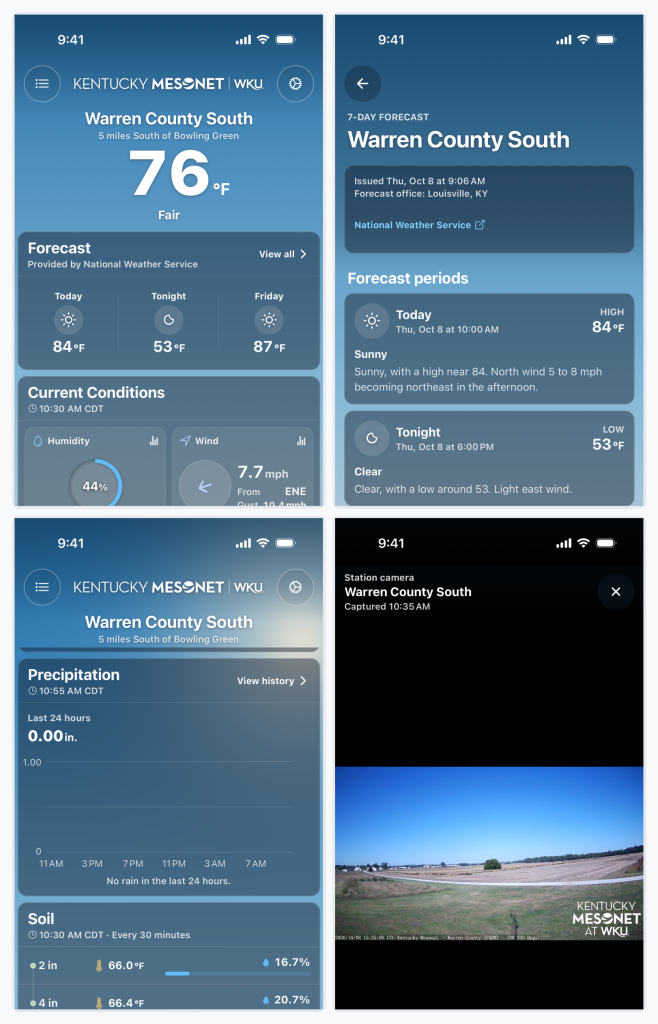 Kentucky Mesonet app adds historical weather data, soil conditions and camera timelapses
BOWLING GREEN, Ky. — The Kentucky Mesonet at Western Kentucky University has updated its mobile app with a redesigned interface and new tools that allow users to review historical weather data, monitor soil conditions…
-
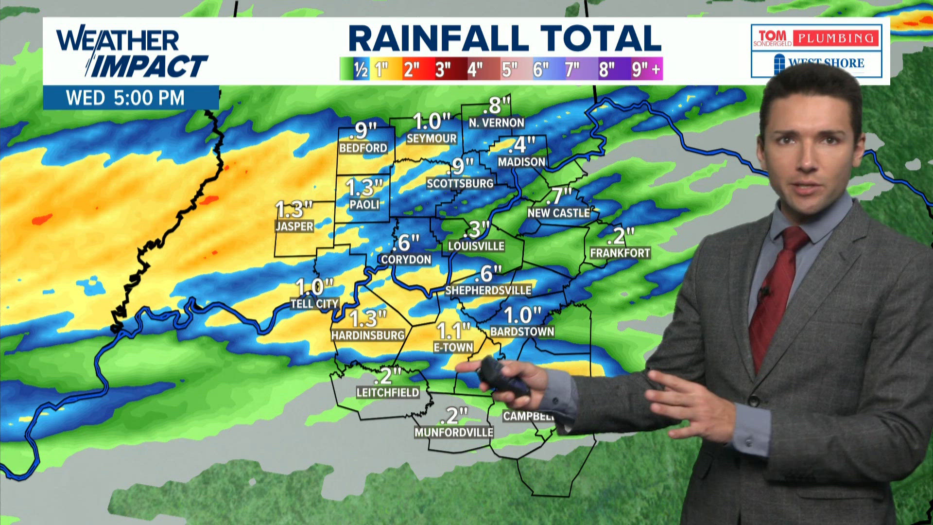 Strong storms possible Wednesday in Kentucky, Indiana | Oct. 14, 2026 7 a.m. weather
whas11.com Strong storms possible Wednesday in Kentucky, Indiana | Oct. 14, 2026 7 a.m. weather To stream WHAS11 on your phone, you need the WHAS11 app. Download the WHAS11 app Next up in 5 Example video title will go…
Air quality
Air quality is satisfactory, and air pollution poses little or no risk.
Forecast
- TueGood (44)
- WedGood (50)
- ThuModerate (51)
Clarksville-Montgomery County, TN reporting area · 55 min ago. Data from AirNow (EPA and its state, local and tribal partners); preliminary and subject to change.
Sun & moon
Almanac
MonthlyClarksville Wwtp, records since 1890. Normals 1991–2020. Data from NOAA's Regional Climate Centers (ACIS).
Nearby
- Clarksville 16 km
- Hopkinsville 23 km
- Springfield 51 km
- Fort Campbell North 3 km
- Russellville 52 km
- Ashland City 54 km
- Coopertown 48 km
- Pleasant View 46 km
- Cadiz 43 km
- Elkton 29 km
Forecasters' discussion
From the National Weather Service office in PAH, issued 5 hrs ago
Key Messages
- Areas of fog, some possibly dense, will develop near bodies of water early Wednesday morning.
- Near to slightly above normal temperatures are forecast for the next seven days.
- No rainfall is forecast for the next seven days.
Discussion
Issued at 1119 AM CDT Tue Oct 20 2026
Sprawling high pressure centered over the eastern and northeast CONUS combined with stable H5 ridging over the southern and central CONUS will bring quiet and stable weather to the region for the next week. Temperatures will be nearly the same each day, with highs in the lower to middle 70s and lows in the middle to upper 40s. The only mentionable weather concern will be for shallow (and possibly briefly dense) fog development early Wednesday morning near bodies of water (lakes, rivers, ponds, etc.). Have added fog to the forecast for these areas.
Aviation
Issued at 1119 AM CDT Tue Oct 20 2026
Shallow ground fog will develop early Wednesday morning along larger bodies of water. Have added fog to CGI between the 11-13z period to account for this. Otherwise, VFR conditions are expected with calm or very light NE winds and clear to mostly clear skies.
Pah Watches
IL...None. MO...None. IN...None. KY...None.
Forecasts, observations and alerts in the United States come from the National Weather Service (NOAA); radar from NOAA's Multi-Radar Multi-Sensor system; satellite imagery from NASA's Global Imagery Browse Services (GIBS) and NOAA's GOES satellites; the map from the U.S. Geological Survey's National Map; air quality from AirNow (EPA and its partners); hurricane information from the National Hurricane Center; climate normals and records from NOAA's Regional Climate Centers (ACIS). Forecasts outside the United States and the UV index: MET Norway (CC BY 4.0); observations outside the U.S.: airport reports via NOAA's Aviation Weather Center. Place names: GeoNames (CC BY 4.0). Data are copied on a schedule and may lag the sources; for warnings that affect your safety, follow your local National Weather Service office and emergency officials. Weather news is drawn from the 4Conservative index and reflects what the press published. Terms of use.