Install
Clarksville, TN 37040 Weather
Current conditions
Forecast for this hour (no station report in the last two hours)
Forecast
10-day-
This Afternoon
Sunny, with a high near 78. North northeast wind 5 to 10 mph.
-
Tonight
Clear, with a low around 45. Northeast wind 0 to 5 mph.
-
Friday
Sunny, with a high near 76. East northeast wind 5 to 10 mph.
National Weather Service forecast updated 4 hrs ago.
Hourly
Hourly forecast- Now75°
- 6 PM71°
- 7 PM68°
- 8 PM62°
- 9 PM60°
- 10 PM57°
- 11 PM55°
- Fri12 AM53°
- 1 AM52°
- 2 AM52°
- 3 AM50°
- 4 AM48°
- 5 AM47°
- 6 AM46°
- 7 AM45°
- 8 AM48°
- 9 AM56°
- 10 AM62°
- 11 AM67°
- 12 PM72°
- 1 PM74°
- 2 PM76°
- 3 PM76°
- 4 PM76°
10-day forecast
Details- TodayOct 22Sunny45°78°
- FriOct 23Sunny46°76°
- SatOct 24Sunny47°78°
- SunOct 25Areas Of Fog then Sunny47°78°
- MonOct 26Mostly Sunny47°75°
- TueOct 27Mostly Sunny49°75°
- WedOct 28Mostly Sunny49°75°
- ThuOct 29Light rain0.04 in52°76°
- FriOct 30Sunny43°60°
- SatOct 31Cloudy39°68°
Days after the National Weather Service's seven are MET Norway's outlook, a computer model with no forecaster's review.
Radar
Full mapWeather news near Clarksville
More weather news-
 Work week weather: Sunny, dry autumn days ahead in Clarksville
CLARKSVILLE, TN (CLARKSVILLE NOW) – Sunny skies and warming temperatures are expected this week, with highs climbing into the upper 70s by Wednesday. Patchy morning fog is possible Monday and Tuesday, but otherwise dry…
-
 Weekend weather: 30-degree plummet in Clarksville, with lows close to freezing
CLARKSVILLE, TN (CLARKSVILLE NOW) – Much-cooler temperatures and gusty winds are expected Friday, with a slight chance of showers before skies begin to clear. Highs will drop about 30 degree to the low to upper 60s…
-
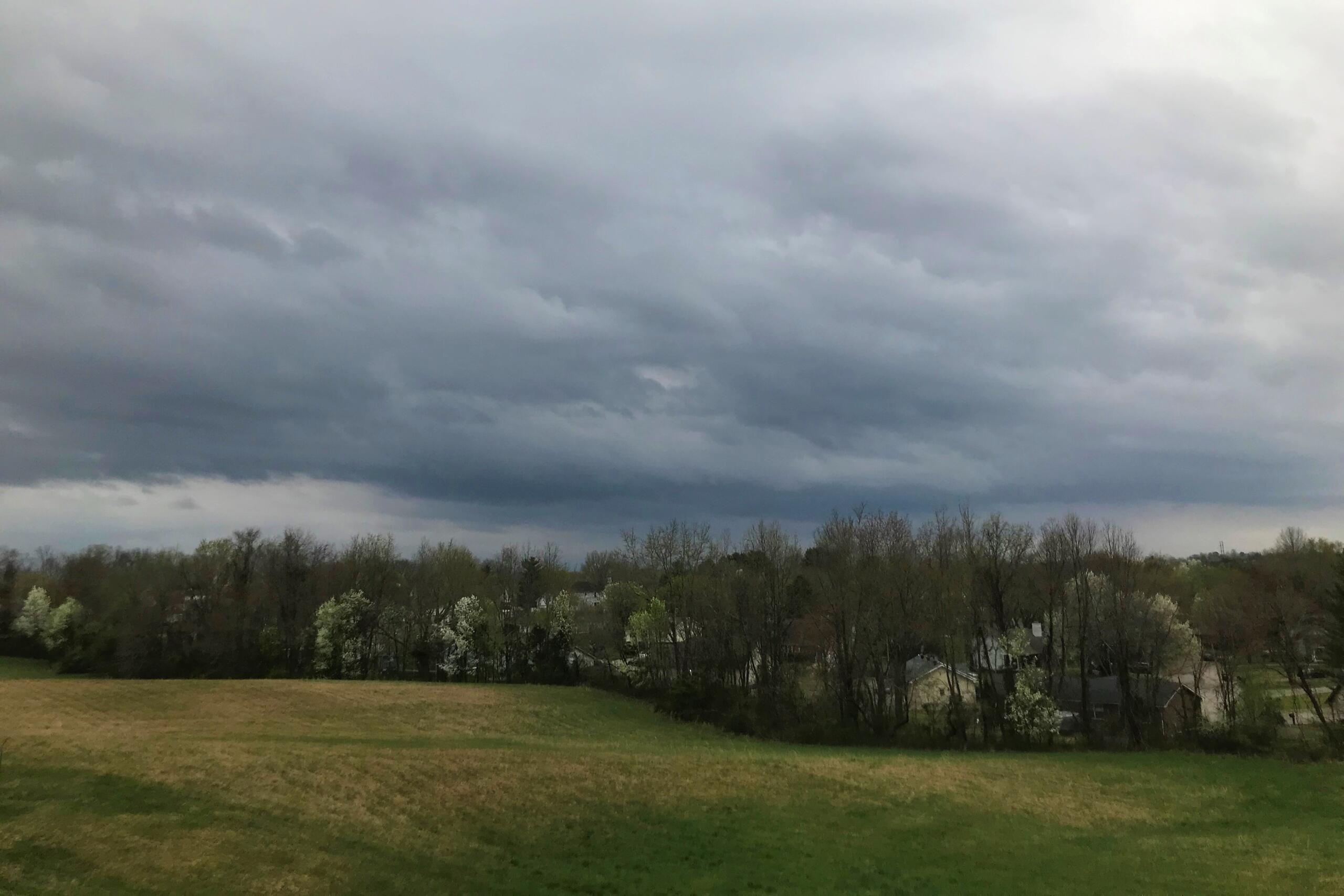 WEATHER ALERT: Strong thunderstorm moving toward Clarksville
CLARKSVILLE, TN (CLARKSVILLE NOW) – A strong thunderstorm is headed toward Clarksville with wind gusts up to 40 mph. At 6 p.m., the storm was 8 miles northeast of Paris and moving east at 25 mph, according to the…
-
 Daylight saving time ends Nov. 1, changing sunrise and sunset times in East Tennessee
KNOXVILLE, Tenn. (WVLT) - Daylight saving time ends Nov. 1, changing the timing of sunrise and sunset across East Tennessee. Clocks fall back from 2 a.m. to 1 a.m. on Nov. 1, marking the end of daylight saving time and…
-
 Another fantastic fall day on tap for the Tennessee Valley
Local 3 News Good morning! ItâÂÂs another quiet morning with crisp temperatures in the 40s Highs will reach the 70s again, with plenty of sunshine A few areas near the Blue Ridge Mountains could sneak back into the…
-
 2026 has been one of the driest years ever for Middle Tennessee
WSMV 2026 has been one of the driest years ever for Middle Tennessee First Alert Weather Plus PMC, JamJuice launch $5 per day parking for musicians in Nashville Driver, Franklin County deputy injured in crash while…
-
 First Alert Forecast: Dry, warm afternoons continue across Middle Tennessee
NASHVILLE, Tenn. (WSMV) - More of the same as the seasonal, dry weather continues across the Midstate. For life-saving weather alerts, customized messages on conditions and forecasts, and videos detailing upcoming…
- First Alert Forecast: Chilly mornings, warm afternoons here to stay in Middle Tennessee
NASHVILLE, Tenn. (WSMV) -The comfortable fall weather continues this week in Middle Tennessee and southern Kentucky. It will be a touch warmer this afternoon, with highs in the upper 70s for the day. It will be mostly…
-
 Beautiful Fall weather continues for the Tennessee Valley
WTVC A dry pattern but overall beautiful Fall weather right through early next week Chilly mornings in the 40s with sunny and warm afternoons in the 70s No rain in sight possibly through the end of the month October is…
-
 First Alert Forecast: Sunsets are slipping away in Middle Tennessee
NASHVILLE, Tenn. (WSMV) - Soak up that evening sunshine while you can! Sunsets are slipping away, and with the time change Halloween weekend we’ll have sunset before 5pm by the start of November. This Saturday, October…
Air quality
Acceptable. Unusually sensitive people should consider limiting prolonged outdoor exertion.
Forecast
- ThuGood (50)
- FriModerate (51)
- SatModerate (51)
Clarksville-Montgomery County, TN reporting area · 1 hr ago. Data from AirNow (EPA and its state, local and tribal partners); preliminary and subject to change.
Sun & moon
Almanac
MonthlyClarksville Wwtp, records since 1890. Normals 1991–2020. Data from NOAA's Regional Climate Centers (ACIS).
Nearby
- Hopkinsville 40 km
- Springfield 41 km
- Dickson 50 km
- Fort Campbell North 18 km
- Oak Grove 18 km
- Russellville 55 km
- Greenbrier 50 km
- Millersville 60 km
- Ashland City 38 km
- Coopertown 35 km
- Pleasant View 31 km
- White Bluff 47 km
Forecasters' discussion
From the National Weather Service office in OHX, issued 5 hrs ago
Key Messages
Updated at 1136 AM CDT Thu Oct 22 2026
- Mild sunny days and cool clear nights will continue for the foreseeable future.
- No rain is expected for at least the next 7 days, and likely longer.
- Drought conditions are going to worsen.
Short Term
(Rest of today through Friday) Issued at 1026 AM CDT Thu Oct 22 2026
A very dry surface ridge centered over the Great Lakes and New England will continue to extend down across TN and all the way to the Gulf Coast through the next several days. The pattern of cool crisp nights and mild sunny days will continue. Very low RH values each afternoon will bring concerns for fires, but thankfully winds will be light.
Long Term
(Friday Night through next Thursday) Issued at 1026 AM CDT Thu Oct 22 2026
The temperature trends and rain-free pattern will be stable through next week. The ridge may weaken enough for some rain chances as we head into November, but this potential is unclear at this time. Drought conditions will continue to worsen.
Aviation
(18Z TAFS) Issued at 1136 AM CDT Thu Oct 22 2026
VFR will continue through the TAF period. Winds will be N to NE less than 10KT.
Forecasts, observations and alerts in the United States come from the National Weather Service (NOAA); radar from NOAA's Multi-Radar Multi-Sensor system; satellite imagery from NASA's Global Imagery Browse Services (GIBS) and NOAA's GOES satellites; the map from the U.S. Geological Survey's National Map; air quality from AirNow (EPA and its partners); hurricane information from the National Hurricane Center; climate normals and records from NOAA's Regional Climate Centers (ACIS). Forecasts outside the United States and the UV index: MET Norway (CC BY 4.0); observations outside the U.S.: airport reports via NOAA's Aviation Weather Center. Place names: GeoNames (CC BY 4.0). Data are copied on a schedule and may lag the sources; for warnings that affect your safety, follow your local National Weather Service office and emergency officials. Weather news is drawn from the 4Conservative index and reflects what the press published. Terms of use.