Install
Navarre, FL 32566 Weather
Current conditions
Observed at Pensacola - Pensacola International Airport · 44 min ago
Forecast
10-day-
Overnight
Mostly clear, with a low around 57. Northeast wind around 10 mph.
-
Wednesday
Sunny, with a high near 78. Northeast wind 5 to 10 mph.
-
Wednesday Night
Clear, with a low around 58. Northeast wind around 5 mph.
National Weather Service forecast updated 1 hr ago.
Hourly
Hourly forecast- Now59°
- 5 AM58°
- 6 AM57°
- 7 AM57°
- 8 AM58°
- 9 AM62°
- 10 AM67°
- 11 AM70°
- 12 PM73°
- 1 PM76°
- 2 PM76°
- 3 PM76°
- 4 PM77°
- 5 PM76°
- 6 PM74°
- 7 PM72°
- 8 PM69°
- 9 PM67°
- 10 PM65°
- 11 PM63°
- Thu12 AM62°
- 1 AM62°
- 2 AM61°
- 3 AM60°
10-day forecast
Details- TonightOct 20Mostly Clear57°
- TodayOct 21Sunny58°78°
- ThuOct 22Sunny59°79°
- FriOct 23Sunny58°78°
- SatOct 24Sunny58°75°
- SunOct 25Sunny58°75°
- MonOct 26Sunny58°77°
- TueOct 27Sunny78°
- WedOct 28Sunny55°79°
- ThuOct 29Sunny56°78°
Days after the National Weather Service's seven are MET Norway's outlook, a computer model with no forecaster's review.
Radar
Full mapWeather news near Navarre
More weather news- Hurricane Zeta Arrives on the Gulf Coast – Dramatic Space Station Flyover Video
Science, Space and Technology News 2026 Hurricane Zeta Arrives on the Gulf Coast – Dramatic Space Station Flyover Video For the fifth time this year, a named tropical storm or hurricane is going to make landfall in…
-
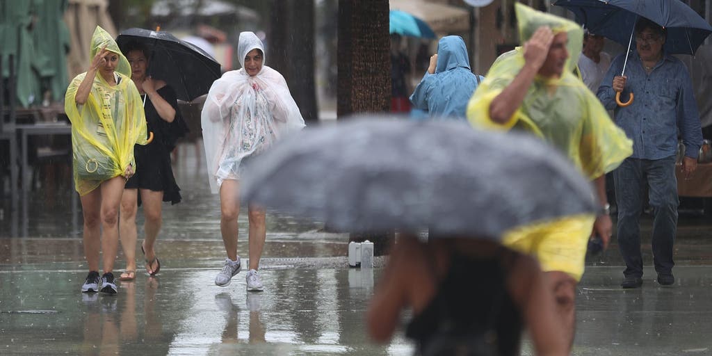 Slow-moving system could bring days of heavy rain and flooding to the Bahamas and Florida
A slow-moving system is developing near the Southwest Atlantic, bringing days of rain to Florida. Some areas could see 3 to 5 inches. A Level 1 out of 4 flash flood risk has been issued for Friday, while a Level 2 out…
-
 October 20: Terrific weather persists across South Florida
WPLG Local 10 The terrific weather persists across South Florida as humidity levels remain in check Miami-Dade and Broward counties can expect scattered clouds and north-northeast winds, sustained 10 to 15 mph, Tuesday…
-
 Invest 93L may develop, but South Florida is not in its path
West Palm Beach, Fla (CBS12) — The National Hurricane Center is monitoring Invest 93-L, a storm-force, non-tropical low located a few hundred miles off the North Carolina coast. The system is producing showers and…
-
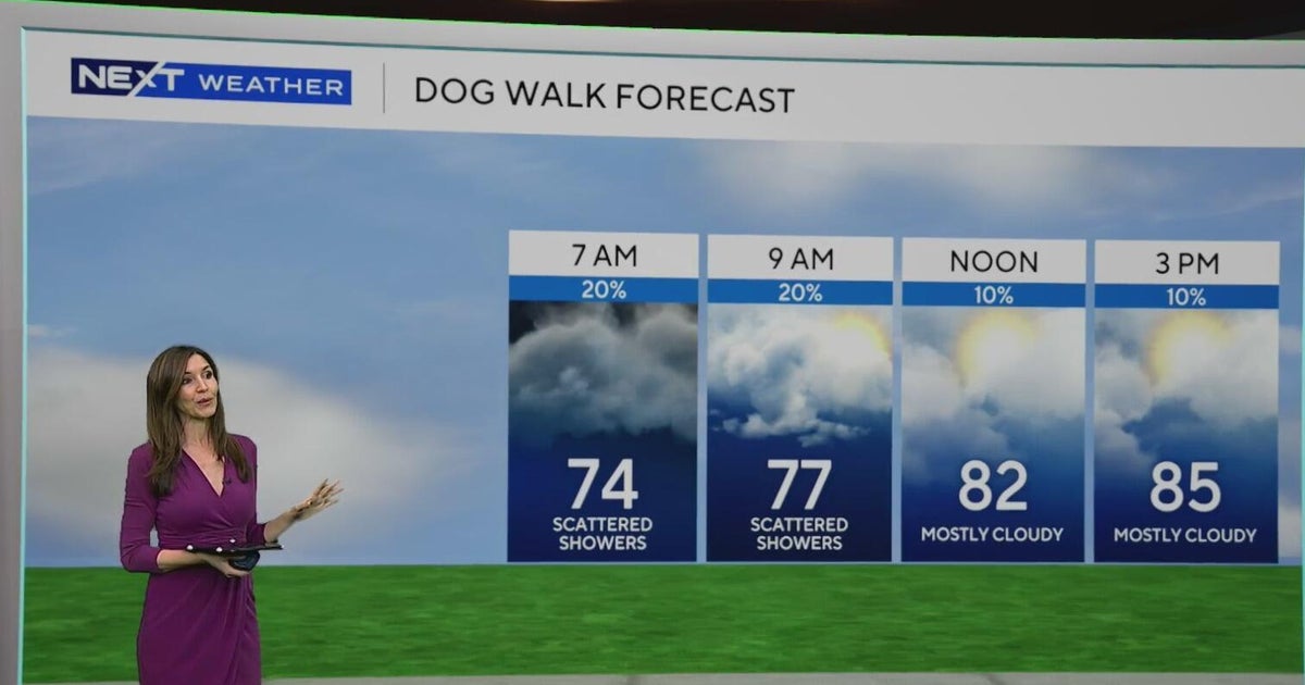 South Florida sees some showers Tuesday, but rain chances rise by end of week
October 20, 2026 / 8:59 AM EDT / CBS Miami Spotty showers were blowing in on the breeze on Tuesday morning in parts of South Florida, with most of the rain rolling in across Miami-Dade. We are also enjoying a taste of…
-
 Fall weather takes hold in Central Florida
ORLANDO, Fla. — Fall is in full swing across Central Florida this week, with afternoon temperatures hovering around 80 degrees and morning lows dipping into the 60s. After a weather system moved completely through the…
-
 Southwest Florida Weather Forecast
WINK News Oct. 20, 2026 | 4 a.m. Currently in Fort Myers Hour by Hour Forecast - Sunshine sticks around as cooler temperatures continue across Southwest Florida - Shark kills woman swimming off South Africa's Eastern…
-
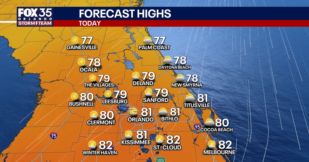 Orlando weather: Sunshine, comfortable weather in Central Florida this week
Expect sunshine and comfortable weather in Central Florida this week. Temperatures will be in the upper 70s and low 80s. FOX 35 Storm Team meteorologist Brooks Garner takes a look at the forecast. ORLANDO, Fla. - A…
-
 ‘Storm-force’ system brings high surf to Florida, flood risk to US East Coast
A “storm-force” low-pressure system is forecast to bring high winds, coastal flooding and dangerous surf along portions of the U.S. East Coast this week, according to the National Hurricane Center. The center of the low…
-
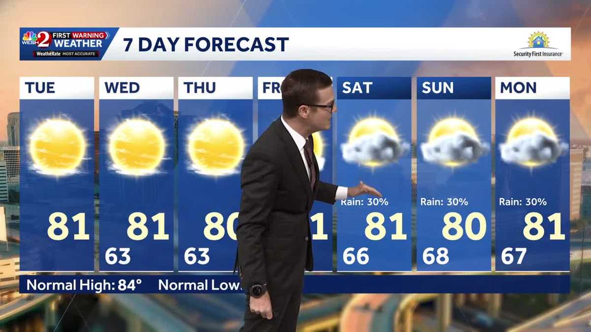 Cool morning temps, sunshine expected across Central Florida
Central Florida is waking up to cooler temperatures Tuesday morning, with comfortable conditions expected to continue throughout the day. Temperatures are starting in the 50s and 60s across much of the region, with some…
Air quality
Acceptable. Unusually sensitive people should consider limiting prolonged outdoor exertion.
Forecast
- WedModerate
- ThuModerate
- FriModerate
Pensacola, FL reporting area · 1 hr ago. Data from AirNow (EPA and its state, local and tribal partners); preliminary and subject to change.
Sun & moon
Almanac
MonthlyPensacola Area, records since 1879. Normals 1991–2020. Data from NOAA's Regional Climate Centers (ACIS).
Nearby
- East Pensacola Heights 28 km
- Pensacola 31 km
- Ferry Pass 32 km
- Bellview 41 km
- Crestview 49 km
- Wright 25 km
- Fort Walton Beach 26 km
- Brent 33 km
- West Pensacola 37 km
- Ensley 38 km
- Pace 32 km
- Midway 11 km
Forecasters' discussion
From the National Weather Service office in MOB, issued 4 hrs ago
Key Messages
Issued at 1232 AM CDT Wed Oct 21 2026
- Moderate to strong northeast winds may create hazardous conditions for small craft over most of the marine area Friday night into this weekend.
- A High Risk of rip currents is expected for beach areas from Friday night through Saturday night.
- Dry conditions continue through the forecast period.
Discussion
Issued at 1143 PM CDT Tue Oct 20 2026
Tonight through Friday night...An upper ridge stretching north along the Mississippi River sharpens as an upper trough deepens over the western Conus, and shortwave energy moves through a mean upper trough along the East Coast. A surface low off the DelMarVa deepens, moving a dryer airmass southwest across the Southeast through the rest of the week, reinforcing an already dry airmass over the region, and continuing to limit any rain chances. High temperatures remain above seasonal norms, especially western portions of the forecast area, closer to the upper ridge. Upper 70s east to lower 80s west expected. The dry airmass an a bit cooler northeasterly low level flow will help with radiational cooling overnight, keeping overnight lows below seasonal norms. Low temperatures ranging from the mid 40s north of Highway 84 to mid 50s along the coast expected.
Saturday through Tuesday, a continuous stream of shortwave energy moving over the Conus flattens the upper ridge, along with shifting it south of the northern Gulf coast. Temperatures drop closer to seasonal norms with the shifting of the upper ridge. The forecast area continues to remain dry through the rest of the forecast.
Taking a look at the Rip Risk on area beaches, a Moderate Risk quickly drops to low through the rest of the week. A weakly organized surface low develops over the Caribbean, tightening the pressure gradient over the northern Gulf, increasing winds and the Rip Risk to High for the coming weekend. /16
Aviation
(06Z TAFS) Issued at 1232 AM CDT Wed Oct 21 2026
VFR conditions are expected to prevail over the next 24 hours. Winds will generally be light out of the northeast through the period. /96
Marine
Issued at 1143 PM CDT Tue Oct 20 2026
Light to moderate northeasterly winds will continue through Friday. Moderate to strong northeasterly to easterly winds develop Friday night and linger into the weekend. Wind gusts may approach gale force mainly well offshore Saturday night and Sunday. A Small Craft Advisory will likely become necessary for much of the marine area starting Friday and running until ending at some point on Monday. /16
Forecasts, observations and alerts in the United States come from the National Weather Service (NOAA); radar from NOAA's Multi-Radar Multi-Sensor system; satellite imagery from NASA's Global Imagery Browse Services (GIBS) and NOAA's GOES satellites; the map from the U.S. Geological Survey's National Map; air quality from AirNow (EPA and its partners); hurricane information from the National Hurricane Center; climate normals and records from NOAA's Regional Climate Centers (ACIS). Forecasts outside the United States and the UV index: MET Norway (CC BY 4.0); observations outside the U.S.: airport reports via NOAA's Aviation Weather Center. Place names: GeoNames (CC BY 4.0). Data are copied on a schedule and may lag the sources; for warnings that affect your safety, follow your local National Weather Service office and emergency officials. Weather news is drawn from the 4Conservative index and reflects what the press published. Terms of use.