Install
Brunswick, GA 31521 Weather
Current conditions
Forecast for this hour (no station report in the last two hours)
Forecast
10-day-
Today
Sunny. High near 75, with temperatures falling to around 72 in the afternoon. North wind 7 to 12 mph, with gusts as high as 16 mph.
-
Tonight
Clear. Low around 52, with temperatures rising to around 55 overnight. North wind 2 to 7 mph.
-
Thursday
Sunny. High near 75, with temperatures falling to around 72 in the afternoon. North wind 5 to 9 mph.
National Weather Service forecast updated 56 min ago.
Hourly
Hourly forecast- Now52°
- 9 AM57°
- 10 AM61°
- 11 AM67°
- 12 PM70°
- 1 PM72°
- 2 PM75°
- 3 PM73°
- 4 PM73°
- 5 PM72°
- 6 PM70°
- 7 PM67°
- 8 PM66°
- 9 PM64°
- 10 PM63°
- 11 PM61°
- Thu12 AM60°
- 1 AM59°
- 2 AM58°
- 3 AM57°
- 4 AM55°
- 5 AM55°
- 6 AM54°
- 7 AM53°
10-day forecast
Details- TodayOct 21Sunny52°75°
- ThuOct 22Sunny56°75°
- FriOct 23Sunny60°73°
- SatOct 24Slight Chance Rain Showers20%59°72°
- SunOct 25Mostly Sunny59°73°
- MonOct 26Mostly Sunny58°74°
- TueOct 27Mostly Sunny60°76°
- WedOct 28Partly cloudy63°76°
- ThuOct 29Cloudy0.02 in67°75°
- FriOct 30Mostly sunny68°78°
Days after the National Weather Service's seven are MET Norway's outlook, a computer model with no forecaster's review.
Radar
Full mapWeather news in Georgia
More weather news-
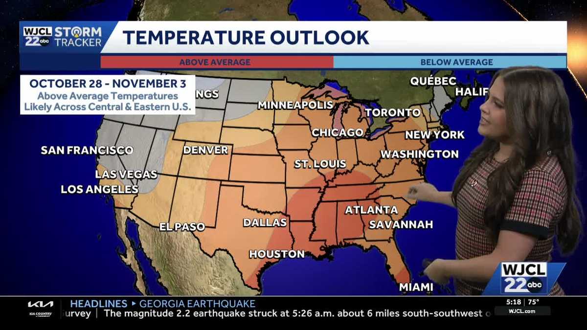 Comfortable conditions continue across Southeast Georgia and the Lowcountry
WJCL A look at the chilly mornings ahead and nice afternoon highs Temperatures drop overnight Tuesday into Wednesday with lows Wednesday morning in the 40s and 50s across Southeast Georgia and the Lowcountry. Have a…
-
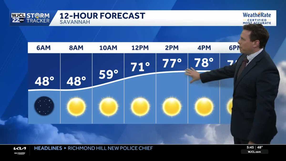 Sunny skies and pleasant fall weather continue across Southeast Georgia and the Lowcountry
Sunshine and pleasantly mild temperatures through the end of the workweek Savannah, Ga. (WJCL)- There will be sunny skies throughout the day with temperatures a few degrees milder this afternoon. Highs will be in the…
-
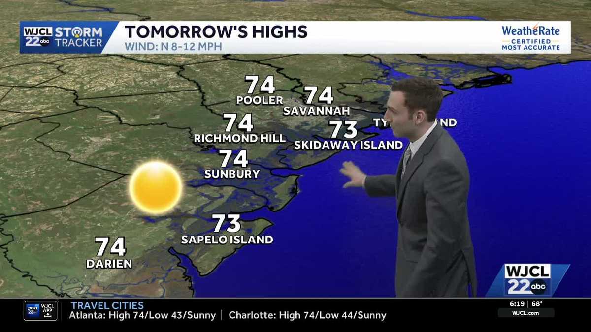 Sunshine stays in the forecast for Southeast Georgia & the Lowcountry this week
WJCL Tuesday morning will feature a clear & cold start with lows in the 40s across Southeast Georgia & the Lowcountry Similar to the start of the work week, there will be plenty of sunshine during the day, but a light…
-
 🔥 High fire danger today in Cobb County and North Georgia
Relative humidity could fall to 30% or lower for at least four hours, with northeast winds of 5 to 10 mph. Dry vegetation and low humidity will increase the risk of fires spreading. Residents should check with local…
-
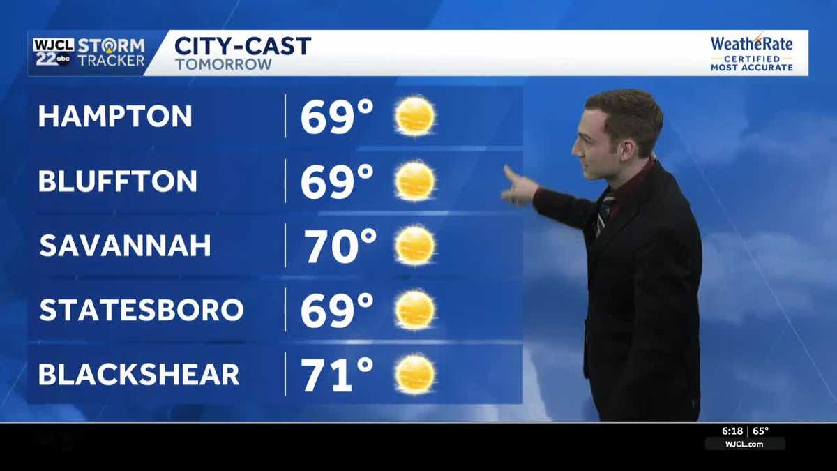 Chilly mornings & pleasant afternoons continue across Southeast Georgia & the Lowcountry this week
WJCL Monday will feature another chilly start as you head out the door with lows in the upper 40 - low 50s & a light northeasterly breeze to go along, so make sure to grab a jacket. There is still a lot of dry air in…
-
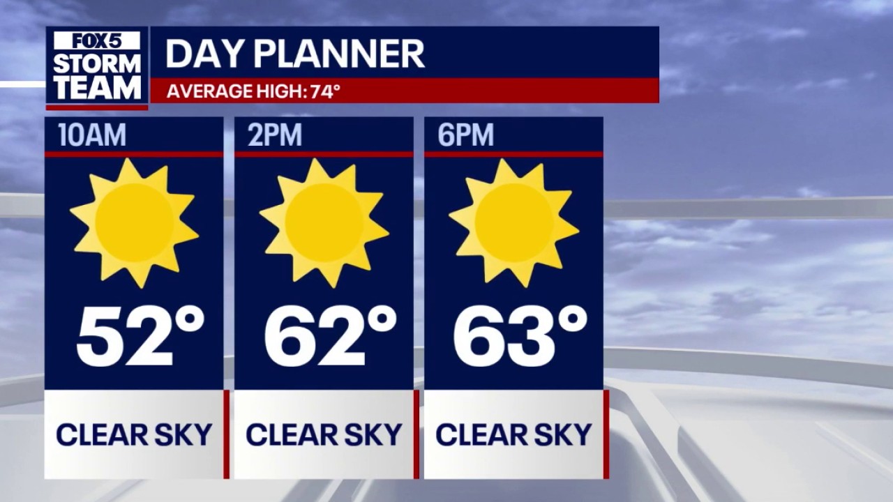 Crisp fall weather & 70s warming trend for North Georgia
FOX 5 Atlanta Lows dipped into the 30s across mountain communities and North Georgia overnight, with Atlanta starting near 50 degrees accompanied by 18 mph northeasterly winds. Daytime highs remain below seasonal…
-
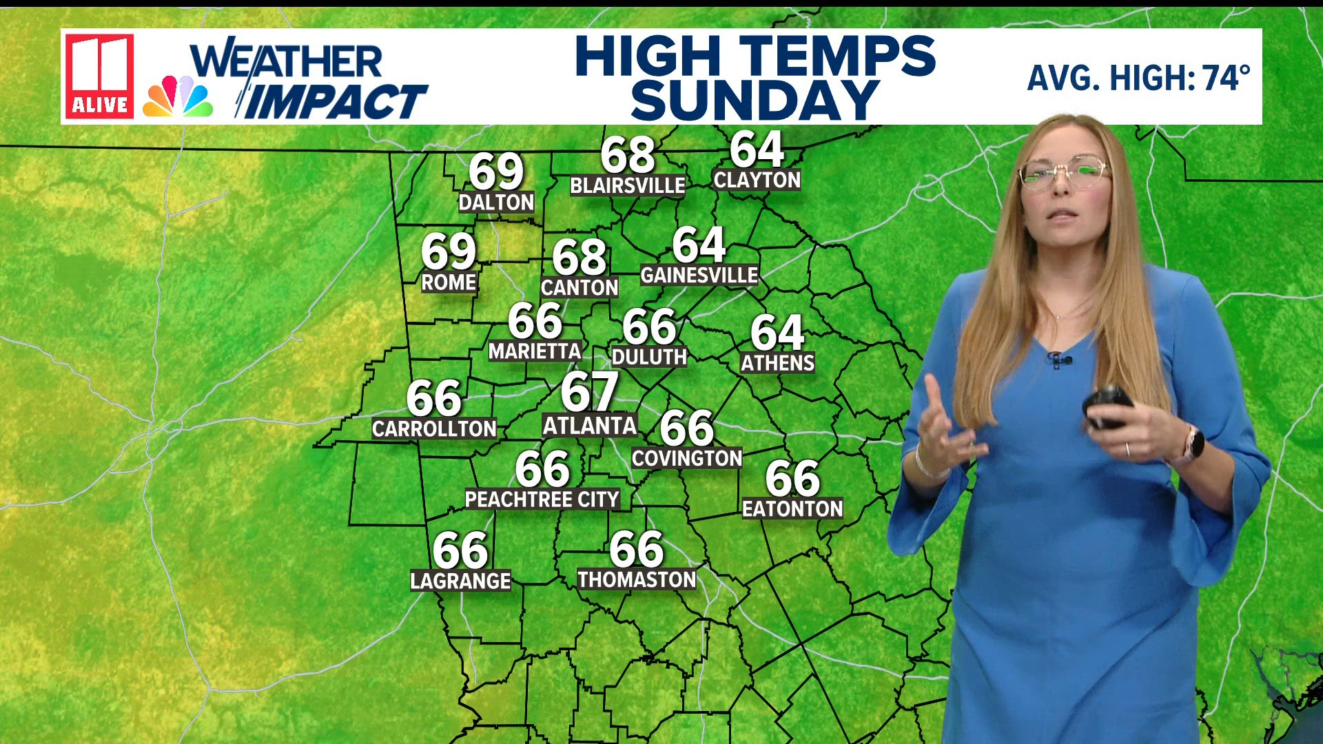 Weather forecast: cold and breezy across North Georgia
11Alive.com Weather forecast: cold and breezy across North Georgia To stream 11Alive on your phone, you need the 11Alive app. Download the 11Alive app Next up in 5 Example video title will go here for this video Before…
-
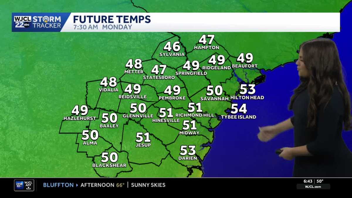 Comfortable and dry week ahead for Southeast Georgia and the Lowcountry
A look at the forecast and the cool morning lows that stick around Some of the coolest air of the season so far for Southeast Georgia and the Lowcountry Sunday morning as temperatures dropped into the 40s and 50s. While…
-
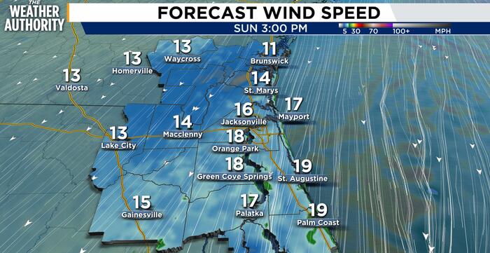 Windy, cool weather and dangerous surf expected Sunday for Northeast Florida, Southeast Georgia
JACKSONVILLE, Fla. – A cool, breezy day is expected across Northeast Florida and Southeast Georgia, with the strongest winds and most significant hazards near the coast. North to northeast winds of 15 to 25 mph could…
-
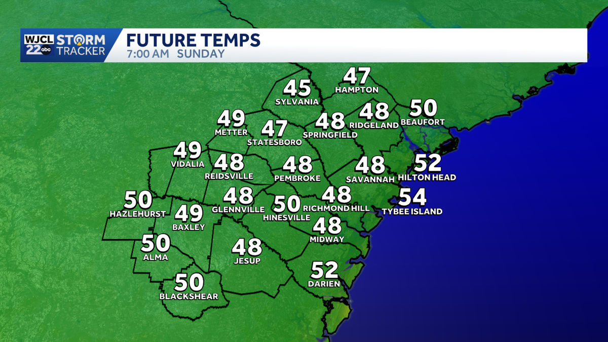 Cool & breezy weather continues for Southeast Georgia & the Lowcountry on Sunday
Fall weather has finally returned across Southwest Georgia & the Lowcountry, let's talk about how long it's going to last! Sunday morning will feature a chilly start with lows in the mid-upper 40s & breezy northeasterly…
Air quality
Acceptable. Unusually sensitive people should consider limiting prolonged outdoor exertion.
Brunswick, GA reporting area · 1 hr ago. Data from AirNow (EPA and its state, local and tribal partners); preliminary and subject to change.
Sun & moon
Almanac
MonthlyBrunswick, records since 1895. Normals 1991–2020. Data from NOAA's Regional Climate Centers (ACIS).
Nearby
- St. Marys 47 km
- Kingsland 43 km
- Saint Simon Mills 8 km
- Saint Simons Island 12 km
- Fernandina Beach 53 km
- Yulee 59 km
- Country Club Estates 7 km
- Dock Junction 6 km
- Sterling 15 km
Forecasters' discussion
From the National Weather Service office in JAX, issued 1 hr ago
Key Messages
For the latest NE FL and SE GA Daily Key Messages please visit: https:/www.weather.gov/media/jax/briefings/nws-jax-briefing.pdf
- Marine & Coastal Hazards Continue this Week. Dangerous Surf Zone and High Risk for Rip Currents. Minor Tidal Flooding Continues Within Portions of the St. Johns River Basin and Atlantic Coast South of St Augustine
- Strong Northeasterly Winds Develop Friday Night Along the I-95 Corridor. Moderate Tidal and Coastal Flooding Likely During the Upcoming Weekend. Gale Conditions Possible for the Local Atlantic Waters. Dangerous Surf Zone Conditions with a High Risk for Rip Currents at Area Beaches
- Locally Heavy Rainfall Possible this Weekend for Coastal Northeast FL
Near Term
Main Highlights:
- Coastal & Marine Hazards Continue with high rip current risk, rough surf, beach erosion, and minor tidal flooding during high tide
- Lows in the 40s over inland SE GA/inland North FL again tonight
Low level northeast flow continues in place through tonight while the dry airmass with PWAT of near or less than 0.5 inches continues. The expansive high pressure system located from the eastern Great southwest with ridge axis to the lower MS valley will weaken a bit while the low pressure system well offshore of the NC outer banks moves northeastward. This will cause the low level flow to turn slightly from northeasterly to more northerly. Wind speeds from the northeast about 10-15 mph coast and 5-10 mph inland for today. Overall clear skies with just a few-scattered low clouds today for St Johns and Flagler counties as stratocu moves off the Atlantic. These clouds are due in part to the broad low level trough forming offshore which will be short-lived.
Min temps this morning below normal by about 5-10 deg with 40s and 50s expected. Highs today will be nice once again in the mid to upper 70s, but around 80 degrees inland north central FL. Lows tonight similar to Wed morning with lows in the upper 40s from Suwannee Valley northward into southeast GA. Then, mostly in the lower to mid 50s elsewhere.
Main hazards in the near term will continue to be coastal in nature with a high risk of rip currents, rough surf and minor tidal flooding along the St. Johns River Basin.
Short Term
Main Highlights This Period: Thursday through Friday night
- Coastal flooding expected due to onshore flow, along with continued high risk for rip currents
Predominantly cool and dry conditions will continue into Friday with chances for showers increasing for coastal areas overnight Friday and on into Saturday. Onshore flow will build for the forecast area during this period between strengthening high pressure to the north and northeast and low pressure to the south. High temperatures for the end of the week will be in the mid to upper 70s. Overnight low temperatures will drop down into the lower 50s over southeast Georgia and in the mid to upper 50s for northeast Florida, and in the lower to mid 60s for areas along the coast and near the St Johns River.
Long Term
Main Highlights This Period: Saturday through Tuesday
- Strong onshore flow will lead to coastal flooding, beach hazards such as rip currents and high surf, and gusty onshore winds
Abundant onshore flow will persist through the weekend and into the beginning of next week with increased chances for showers with a potential for thunderstorms as weak inverted troughs develop with the onshore pattern. As a result of the strong onshore flow, a myriad of coastal hazards can be expected this weekend including a high rip current risks, high surf, coastal flooding and gusty overland winds possibly reaching wind advisory criteria. Temperatures will continue to be below the seasonal average through the weekend and into next week.
Forecasts, observations and alerts in the United States come from the National Weather Service (NOAA); radar from NOAA's Multi-Radar Multi-Sensor system; satellite imagery from NASA's Global Imagery Browse Services (GIBS) and NOAA's GOES satellites; the map from the U.S. Geological Survey's National Map; air quality from AirNow (EPA and its partners); hurricane information from the National Hurricane Center; climate normals and records from NOAA's Regional Climate Centers (ACIS). Forecasts outside the United States and the UV index: MET Norway (CC BY 4.0); observations outside the U.S.: airport reports via NOAA's Aviation Weather Center. Place names: GeoNames (CC BY 4.0). Data are copied on a schedule and may lag the sources; for warnings that affect your safety, follow your local National Weather Service office and emergency officials. Weather news is drawn from the 4Conservative index and reflects what the press published. Terms of use.