Install
Wilmington, DE 19850 Weather
Current conditions
Observed at Wilmington Airport · 1 hr ago
Forecast
10-day-
Tonight
Mostly clear, with a low around 42. North wind around 5 mph.
-
Thursday
Sunny, with a high near 67. North wind 5 to 15 mph.
-
Thursday Night
Clear, with a low around 45. North wind 5 to 10 mph.
National Weather Service forecast updated 9 hrs ago.
Hourly
Hourly forecast- Now45°
- 3 AM45°
- 4 AM43°
- 5 AM43°
- 6 AM42°
- 7 AM42°
- 8 AM43°
- 9 AM48°
- 10 AM54°
- 11 AM57°
- 12 PM60°
- 1 PM62°
- 2 PM64°
- 3 PM65°
- 4 PM66°
- 5 PM66°
- 6 PM63°
- 7 PM59°
- 8 PM56°
- 9 PM54°
- 10 PM54°
- 11 PM53°
- Fri12 AM52°
- 1 AM51°
10-day forecast
Details- TonightOct 21Mostly Clear42°
- TodayOct 22Sunny45°67°
- FriOct 23Sunny38°61°
- SatOct 24Sunny42°62°
- SunOct 25Sunny45°64°
- MonOct 26Sunny49°68°
- TueOct 27Mostly Sunny48°67°
- WedOct 28Mostly Sunny63°
- ThuOct 29Partly cloudy46°65°
- FriOct 30Mostly sunny44°65°
Days after the National Weather Service's seven are MET Norway's outlook, a computer model with no forecaster's review.
Radar
Full mapWeather news near Wilmington
More weather news- Freeze watch goes into effect Oct. 17 for central Ohio, other counties
The National Weather Service in Wilmington has issued a freeze watch for central Ohio and large swaths of the state that will go into effect this weekend. The freeze watch will go into effect on Saturday night, Oct. 17…
-
 Delaware's weekend forecast sees temperatures drop lower than usual
Delaware is in for a wacky weekend as temperatures fluctuate between warm and cold. A cold front is forecast to sweep eastward on Oct. 16, accompanied by strong to severe thunderstorms for the Mid-Atlantic and…
-
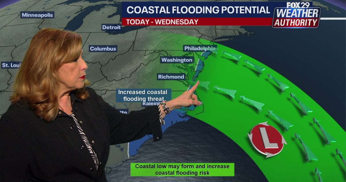 Coastal flooding threat looms for New Jersey, Delaware as nor'easter develops offshore
A developing nor'easter off the Carolina coast is expected to stay offshore but will still bring high winds, heavy surf, and possible coastal flooding along the Jersey Shore and Delaware beaches this week. PHILADELPHIA…
-
 Delaware's fall colors could disappoint after a stressful summer
It’s that time when fall foliage offers picturesque backdrops across Delaware, but this year’s views might not deliver as exepcted. AccuWeather reported that parts of the Mid-Atlantic could see fall colors arrive…
Air quality
Air quality is satisfactory, and air pollution poses little or no risk.
Greater New Castle County, DE reporting area · 2 hrs ago. Data from AirNow (EPA and its state, local and tribal partners); preliminary and subject to change.
Sun & moon
Almanac
MonthlyWilmington Area, records since 1894. Normals 1991–2020. Data from NOAA's Regional Climate Centers (ACIS).
Nearby
- Philadelphia 57 km
- Camden 57 km
- Vineland 50 km
- South Vineland 50 km
- Havertown 52 km
- Sicklerville 56 km
- Dover 46 km
- Sewell 45 km
- Chester 38 km
- Newark 19 km
- Wayne 56 km
- Radnor 57 km
Forecasters' discussion
From the National Weather Service office in PHI, issued 1 hr ago
What Has Changed
Updated aviation section for 06Z TAFs.
Key Messages
1. Subtropical Storm Josephine located well off the Mid- Atlantic coast will move even farther away Thursday, however some coastal impacts and hazardous marine conditions continue.
2. Elevated tide cycles persist due to Subtropical Storm Josephine well of the coast resulting in widespread minor coastal flooding continuing in Ocean County, NJ and Sussex County, DE.
3. Frost impacts possible Friday night and Saturday night where the growing season continues.
Discussion
KEY MESSAGE 1...Subtropical Storm Josephine located well off the Mid- Atlantic coast will move even farther away Thursday, however some coastal impacts and hazardous marine conditions continue.
Subtropical Storm Josephine located well off the Mid-Atlantic coast will strengthen through tonight as it gradually turns more to the northeast. This northeast or east-northeast motion then continues on Thursday. Meanwhile, strong surface high pressure centered across New England will shift into the Canadian Maritimes tonight. A tightened pressure gradient remains between these two systems through tonight.
Some impacts remain only for our coastal and marine areas. The multi- day north-northeast wind has resulted in 10+ foot waves just offshore. These big waves breaking onto the beaches will result in some additional beach erosion especially during times of high tide. Peak wind gusts in the 30-40 mph range into this evening for areas along the coast, and 20-30 mph inland. The winds will diminish late this afternoon and especially tonight particularly away from the immediate coast. Some mid to mostly high clouds into tonight will occur especially closer to the coast. As the winds diminish tonight, it will be a chilly night, however frost is not expected.
For Thursday into Friday, Subtropical Storm Josephine will move farther out to sea as an incoming system from the northwest kicks it out. This will reduce the marine and coastal impacts, while keeping our weather dry and providing a fresh shot of chilly air. There will still be a notable north-northwest breeze Thursday as the pressure gradient remains tightened due to another incoming strong surface high from Canada.
KEY MESSAGE 2...Elevated tide cycles persist due to Subtropical Storm Josephine well of the coast resulting in widespread minor coastal flooding continuing in Ocean County, NJ and Sussex County, DE.
As Subtropical Storm Josephine lingers well off the coast elevated tide cycles are persisting some areas.
Aviation
The following discussion is for KPHL, KPNE, KTTN, KABE, KRDG, KILG, KMIV, KACY and surrounding areas.
Thru 12Z this morning...VFR. North winds around 4-8 kt (becoming locally light and variable). High confidence.
Today...VFR. North-northwest winds around 10-15 kt with a few gusts up to 18-23 kt possible. Moderate-high confidence overall.
Tonight...VFR. North-northwest winds diminishing to 10 knots or less. High confidence.
Outlook...
Friday through Monday...VFR.
Forecasts, observations and alerts in the United States come from the National Weather Service (NOAA); radar from NOAA's Multi-Radar Multi-Sensor system; satellite imagery from NASA's Global Imagery Browse Services (GIBS) and NOAA's GOES satellites; the map from the U.S. Geological Survey's National Map; air quality from AirNow (EPA and its partners); hurricane information from the National Hurricane Center; climate normals and records from NOAA's Regional Climate Centers (ACIS). Forecasts outside the United States and the UV index: MET Norway (CC BY 4.0); observations outside the U.S.: airport reports via NOAA's Aviation Weather Center. Place names: GeoNames (CC BY 4.0). Data are copied on a schedule and may lag the sources; for warnings that affect your safety, follow your local National Weather Service office and emergency officials. Weather news is drawn from the 4Conservative index and reflects what the press published. Terms of use.