Install
Wilkes Barre, PA 18769 Weather
Current conditions
Forecast for this hour (no station report in the last two hours)
Forecast
10-day-
Sunday
Sunny, with a high near 65.
-
Sunday Night
Clear, with a low around 37.
-
Monday
Sunny, with a high near 69.
National Weather Service forecast updated 2 days ago.
Hourly
Hourly forecast- Now58°
- 1 PM62°
- 2 PM64°
- 3 PM65°
- 4 PM65°
- 5 PM63°
- 6 PM58°
- 7 PM53°
- 8 PM52°
- 9 PM48°
- 10 PM45°
- 11 PM42°
- Mon12 AM40°
- 1 AM39°
- 2 AM39°
- 3 AM38°
- 4 AM38°
- 5 AM38°
- 6 AM37°
- 7 AM37°
- 8 AM38°
- 9 AM43°
- 10 AM49°
- 11 AM55°
10-day forecast
Details- ThuOct 22Sunny39°64°
- FriOct 23Sunny30°61°
- SatOct 24Sunny32°63°
- TodayOct 25Sunny37°65°
- MonOct 26Sunny43°69°
- TueOct 27Mostly Sunny36°62°
- WedOct 28Partly Sunny41°62°
- ThuOct 29Partly cloudy43°63°
- FriOct 30Partly cloudy0.07 in45°68°
- SatOct 31Sunny39°58°
Days after the National Weather Service's seven are MET Norway's outlook, a computer model with no forecaster's review.
Radar
Full mapWeather news in Pennsylvania
More weather news-
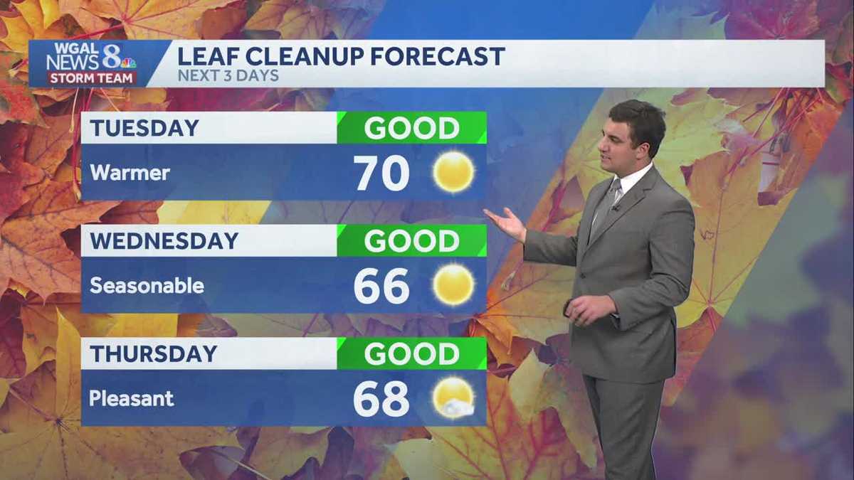 Seasonable sunshine and temperatures continue throughout the week in south central Pennsylvania
At or above average temperatures and 10 days of dry weather ahead. Tuesday looks to be the warmest day of the workweek. Expect bright blue skies and highs climbing to around 70 degrees. From Wednesday through Friday…
-
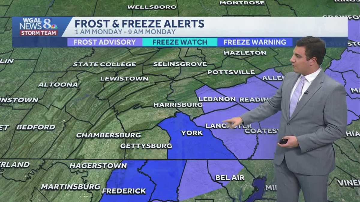 Impact: Frost & freeze alerts issued for some on Sunday night; sunny stretch next week in south central Pennsylvania
Another chilly and frosty night across south central Pennsylvania with lows dropping into the 30s. The National Weather Service has issued freeze warnings and frost advisories for parts of the Susquehanna Valley where…
-
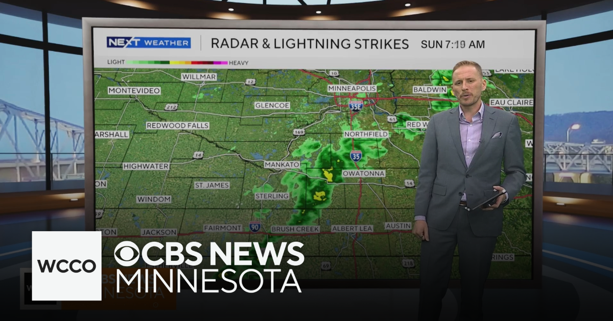 Cooler air returns to Minnesota, along with scattered showers | Oct. 25, 2026
CBS News Minnesota is a local news organization that is part of CBS News and Stations. Also referred to as WCCO-TV and channel 4, CBS News Minnesota offers local breaking news, weather coverage and investigative…
-
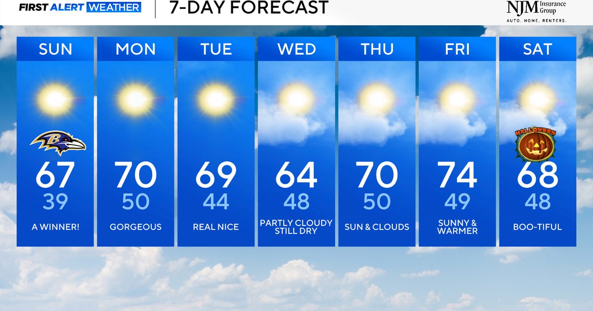 Sunny and pleasant fall weather ahead for Maryland
CBS News Baltimore is a local news organization that is part of CBS News and Stations. Also referred to as WJZ-TV and channel 13, CBS News Baltimore offers local breaking news, weather coverage and investigative…
-
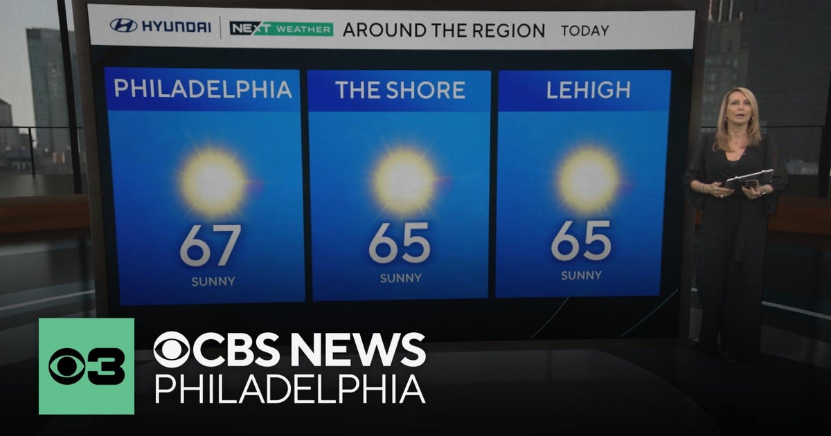 Fall foliage reaching its peak across Philadelphia area, more frosty mornings ahead | NEXT Weather
CBS News Bay Area Morning Edition Weekend 6am WBZ This Morning 8am CBS Colorado Mornings Weekend CBS News Los Angeles Weekend 6am CBS Miami News Sunday Morning CBS News New York Sunday 8am KDKA News This Morning Sunday…
-
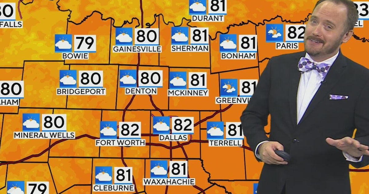 Warm, mild Sunday ahead for North Texas
CBS News Bay Area Morning Edition Weekend 6am WBZ This Morning 8am CBS Colorado Mornings Weekend CBS News Los Angeles Weekend 6am CBS Miami News Sunday Morning CBS News New York Sunday 8am KDKA News This Morning Sunday…
-
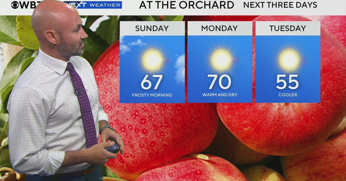 Next Weather: WBZ morning forecast for October 25, 2026
CBS News Bay Area Evening Edition 11pm WBZ This Morning 8am CBS News Chicago Sunday7am CBS Colorado Mornings Weekend CBS News Los Angeles Weekend 11pm WCCO News Sunday Morning 7am CBS News New York Sunday 8am KDKA News…
-
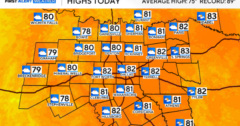 North Texas gets a warm, mild Sunday ahead of clouds and wind this week
October 25, 2026 / 6:51 AM CDT / CBS Texas Expect a warm and dry stretch of weather in North Texas over the next few days, with highs staying in the 80s, but we will see a pattern change as rain chances move in around…
-
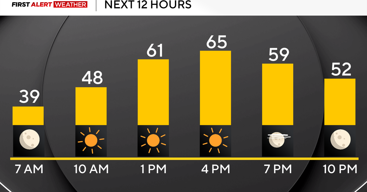 Pittsburgh's stretch of sunshine and dry weather continues on Sunday
October 25, 2026 / 7:07 AM EDT / CBS Pittsburgh High pressure sticks around all weekend long and into the work week with sunny skies, dry conditions, and highs above normal in the mid to upper 60s and even low 70s!…
-
 More wet and windy weather to follow stormy weekend
Choppy seas and large waves crashing up onshore in Aberystwyth, Ceredigion Storm Boelo will continue to batter parts of the UK on Sunday but the fierce autumn weather shows no sign of clearing quickly. After two named…
Air quality
Air quality is satisfactory, and air pollution poses little or no risk.
Forecast
- SunGood (45)
- MonGood (40)
- TueGood
Scranton and Wilkes-Barre, PA reporting area · 1 hr ago. Data from AirNow (EPA and its state, local and tribal partners); preliminary and subject to change.
Sun & moon
Almanac
MonthlyWilkes-barre/scranton International Airport, records since 1948. Normals 1991–2020. Data from NOAA's Regional Climate Centers (ACIS).
Nearby
- Scranton 24 km
- Back Mountain 12 km
- Hazleton 36 km
- Bloomsburg 57 km
- Dunmore 26 km
- Kingston 2 km
- Mountain Top 11 km
- Nanticoke 13 km
- Berwick 38 km
- Carbondale 46 km
- Old Forge 16 km
- Pittston 10 km
Forecasters' discussion
From the National Weather Service office in BGM, issued 5 hrs ago
What Has Changed
No changes to previous forecast.
Key Messages
1) A dry pattern will continue through most of the upcoming week.
Discussion
KEY MESSAGE 1...
Strong ridging over the eastern half of the CONUS will continue through most of the new week. A large surface high will stretch from the Tennessee Valley to New England for most of this time as well, with some shifts in orientation as another large sfc high pushes into the region from Canada. This will result in continued dry weather through most of this coming week. The exception to this will be the low chance for a couple showers/sprinkles with a weak passing cold front later Monday. Temperatures will warm through Monday ahead of the cold front.
Temperatures will cool for Tuesday behind the passing cold front with day-to-day warming for Wednesday and Thursday ahead of the next approaching cold front. A weak cold front will cross the region later Thursday night into Friday morning, with a couple of showers possible with its passage.
It has been a week for most areas since any measurable rainfall has occurred, and with another week of mainly dry conditions expected, combined with summer vegetation dying with the fall temperatures, the threat for fire weather concerns is increasing. While strong winds aren't expected in the coming week, some increased wind speeds with the weak passing cold fronts will be possible.
Aviation
Mainly VFR conditions are expected through the next 24 hours (at least through 12Z Monday) with the exception being at KELM where fog is expected to result in IFR/LIFR visby restrictions this morning and again late tonight/early Monday morning. Any restrictions from fog this morning will likely end by 14Z, resulting in a return to VFR conditions there.
Outlook...
Monday through Thursday...Mainly VFR. Morning fog at KELM possible each morning.
Forecasts, observations and alerts in the United States come from the National Weather Service (NOAA); radar from NOAA's Multi-Radar Multi-Sensor system; satellite imagery from NASA's Global Imagery Browse Services (GIBS) and NOAA's GOES satellites; the map from the U.S. Geological Survey's National Map; air quality from AirNow (EPA and its partners); hurricane information from the National Hurricane Center; climate normals and records from NOAA's Regional Climate Centers (ACIS). Forecasts outside the United States and the UV index: MET Norway (CC BY 4.0); observations outside the U.S.: airport reports via NOAA's Aviation Weather Center. Place names: GeoNames (CC BY 4.0). Data are copied on a schedule and may lag the sources; for warnings that affect your safety, follow your local National Weather Service office and emergency officials. Weather news is drawn from the 4Conservative index and reflects what the press published. Terms of use. How to use Weather