Install
Kingston, PA Weather
Current conditions
Observed at Hazleton Municipal Airport · 1 hr ago
Forecast
10-day-
Friday
Sunny, with a high near 60. North wind 0 to 3 mph.
-
Friday Night
Partly cloudy, with a low around 30. Wind around 0 mph.
-
Saturday
Sunny, with a high near 62. Wind around 0 mph.
National Weather Service forecast updated 19 hrs ago.
Hourly
Hourly forecast- Now37°
- 9 AM39°
- 10 AM43°
- 11 AM48°
- 12 PM52°
- 1 PM57°
- 2 PM59°
- 3 PM60°
- 4 PM60°
- 5 PM58°
- 6 PM55°
- 7 PM51°
- 8 PM45°
- 9 PM43°
- 10 PM41°
- 11 PM39°
- Sat12 AM37°
- 1 AM35°
- 2 AM34°
- 3 AM33°
- 4 AM32°
- 5 AM32°
- 6 AM31°
- 7 AM30°
10-day forecast
Details- ThuOct 22Sunny37°64°
- TodayOct 23Sunny30°60°
- SatOct 24Sunny32°62°
- SunOct 25Sunny37°65°
- MonOct 26Sunny42°69°
- TueOct 27Mostly Sunny41°65°
- WedOct 28Partly Sunny42°63°
- ThuOct 29Cloudy45°64°
- FriOct 30Sunny0.06 in37°55°
- SatOct 31Sunny36°55°
Days after the National Weather Service's seven are MET Norway's outlook, a computer model with no forecaster's review.
Radar
Full mapWeather news in Pennsylvania
More weather news-
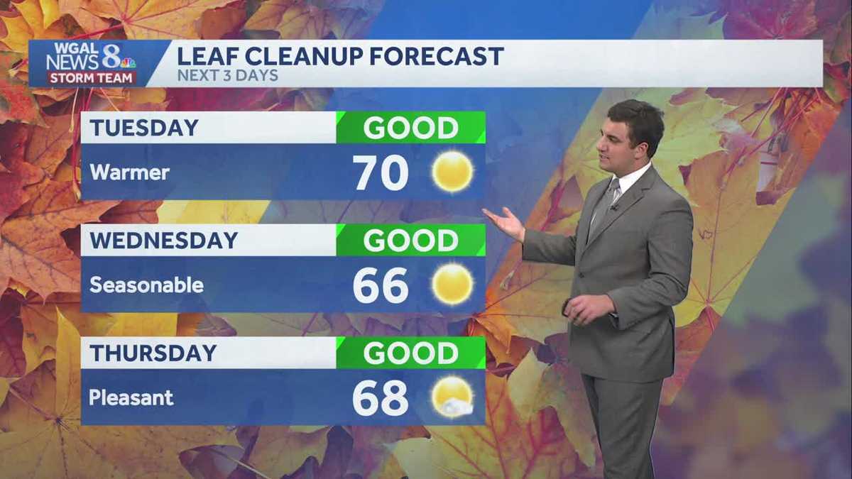 Seasonable sunshine and temperatures continue throughout the week in south central Pennsylvania
At or above average temperatures and 10 days of dry weather ahead. Tuesday looks to be the warmest day of the workweek. Expect bright blue skies and highs climbing to around 70 degrees. From Wednesday through Friday…
-
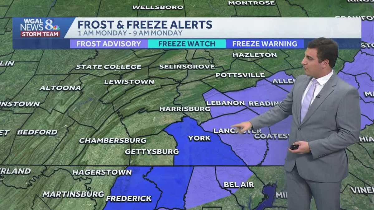 Impact: Frost & freeze alerts issued for some on Sunday night; sunny stretch next week in south central Pennsylvania
Another chilly and frosty night across south central Pennsylvania with lows dropping into the 30s. The National Weather Service has issued freeze warnings and frost advisories for parts of the Susquehanna Valley where…
-
 Freeze Watch Upgraded to Warning for Almost All of Pennsylvania as Conditions Worsen
Freeze Warnings are now in effect for most of Pennsylvania from 1 a.m. to 9 a.m. EDT Sunday, with lows between 25 and 30 degrees expected in central Pennsylvania. The earlier Freeze Watches have been upgraded to…
-
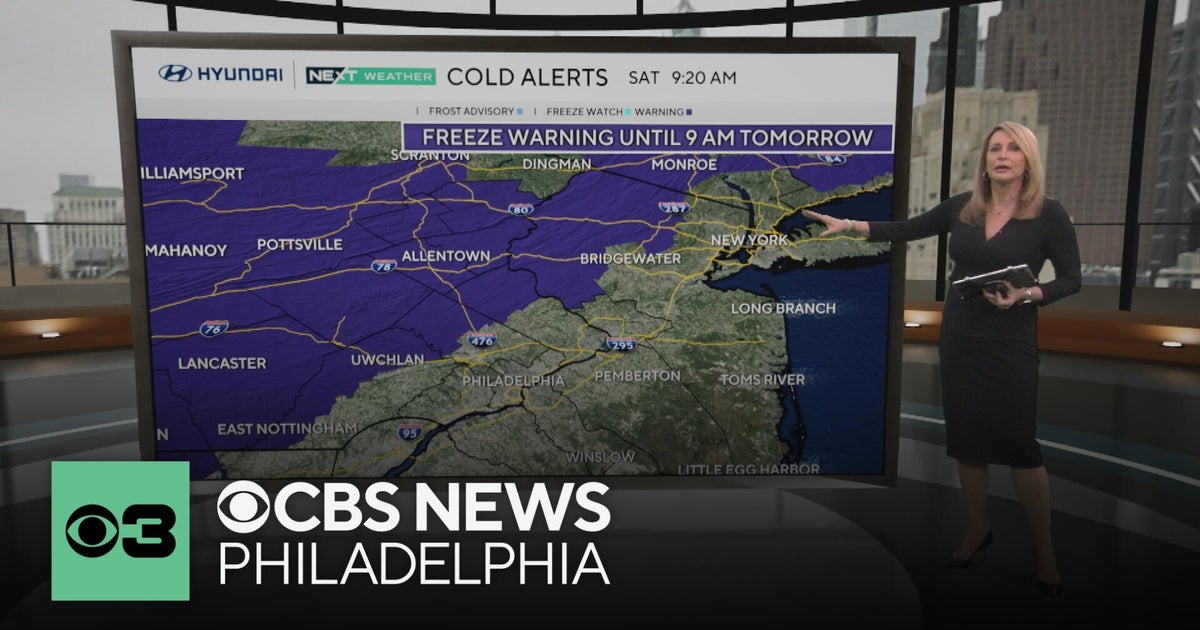 Freeze warning in Pennsylvania after wet Saturday | NEXT Weather
CBS News Freeze warning in Pennsylvania after wet Saturday | NEXT Weather Philadelphia region sees more than 20-degree drop in temperatures Saturday Camden Catholic beats Kipp Cooper Norcross and more in Week 6 of…
-
 Pennsylvania weather: Cold, cloudy, breezy in upper 40s
Alert!: Freeze watch Saturday night through Sunday morning (WBRE/WYOU) — Skies will clear and winds will diminish Saturday night with high pressure moving overhead. The clear sky and light winds will allow for cooling…
-
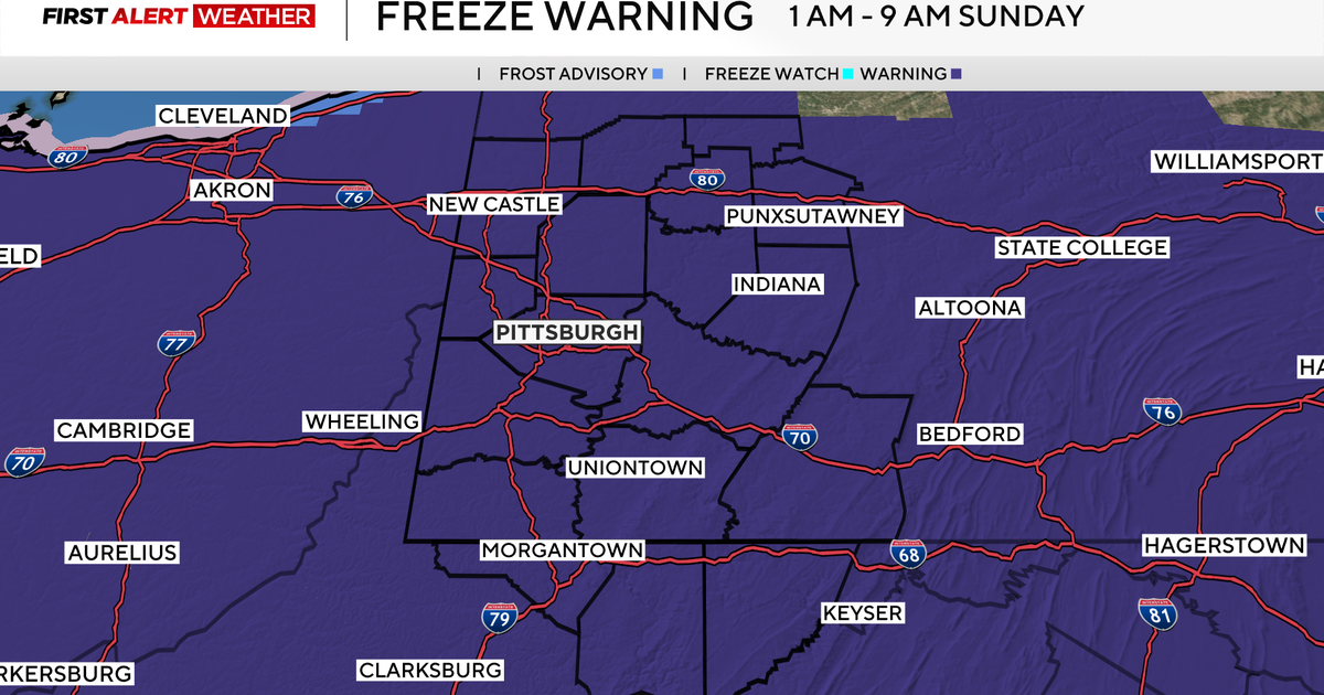 Freeze Warning issued for all of western Pennsylvania as overnight temperatures will drop
October 17, 2026 / 6:59 AM EDT / CBS Pittsburgh There are a few showers this morning, but clouds will quickly clear out this afternoon with sunshine and highs well below normal at 50 degrees. Overnight, we are going…
-
 Dangerous Freeze Watches Issued for Ohio, Pennsylvania and New York as Temperatures Plummet
Freeze Watches are in effect from late Saturday night through Sunday morning across Ohio, Pennsylvania, western New York, West Virginia, Maryland and Virginia, with lows as cold as 25 degrees possible. A strong cold…
-
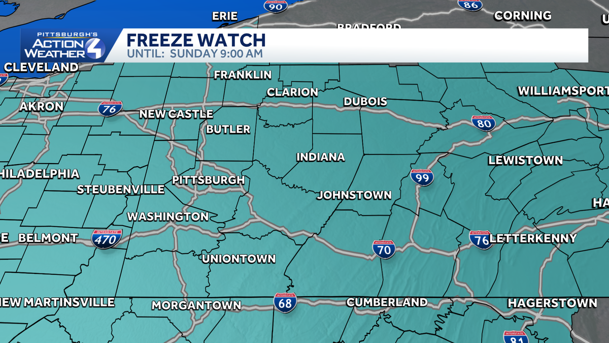 Freeze watch from Saturday night through Sunday morning in Western Pennsylvania
The National Weather Service has issued a freeze watch for counties across Western Pennsylvania from late Saturday night through early Sunday morning. Temperatures as low as 30 degrees are possible in some areas. Frost…
- Weather Forecast and Conditions for Martins Creek, 18063, Bangor, Pennsylvania - The Weather Channel
Martins Creek Weather The Weather Channel Martins Creek, 18063, Bangor, Pennsylvania Martins Creek Daily Forecast
- LIVE UPDATES | Severe weather threats for south-central Pennsylvania
Severe weather is moving through South-Central Pennsylvania, and we're providing live updates below as conditions develop. As watches and warnings are issued by the National Weather Service, you'll see those appear in…
Air quality
Air quality is satisfactory, and air pollution poses little or no risk.
Forecast
- FriGood (30)
- SatGood (30)
- SunGood
Scranton and Wilkes-Barre, PA reporting area · 1 hr ago. Data from AirNow (EPA and its state, local and tribal partners); preliminary and subject to change.
Sun & moon
Almanac
MonthlyWilkes-barre/scranton International Airport, records since 1948. Normals 1991–2020. Data from NOAA's Regional Climate Centers (ACIS).
Nearby
- Scranton 25 km
- Wilkes-Barre 2 km
- Back Mountain 12 km
- Hazleton 34 km
- Bloomsburg 55 km
- Dunmore 28 km
- Mountain Top 10 km
- Nanticoke 11 km
- Berwick 36 km
- Carbondale 48 km
- Old Forge 18 km
- Pittston 11 km
Forecasters' discussion
From the National Weather Service office in BGM, issued 5 hrs ago
What Has Changed
No significant changes with this update.
Key Messages
1) High pressure will remain over the region through the middle of next week with dry conditions, warm afternoon temperatures, and cool mornings.
Discussion
KEY MESSAGE 1...
High pressure will continue to dominate through the early to middle part of next week. A weak, dry cold front has pushed through the area early this morning. Clouds are now decreasing and there could be some very patchy valley fog. This should allow for slightly cooler temperatures today followed by a warming trend this weekend. We will see some cold temperatures tonight and again Saturday night, with overnight lows in the mid-20s to low 30s both nights. There will be areas of river valley fog each night/early morning as well. During the day it will warm up into the upper 50s to mid 60s with plenty of sunshine both Saturday and Sunday.
The other issue to take into account is a typical model high bias of afternoon dewpoints in this pattern, therefore blending in guidance to lower these afternoon dew points and humidity levels through the weekend.
Yet another cold front attempts to break down the ridge a bit early next week but also looks moisture starved. The pattern overall through most of next week remains dry or with brief passing showers possible later in the week. Temperatures will be warmest on Monday, well into the 60s. After the dry cold front presses through it's back down into the 50s for Tuesday, with cold overnight lows in the mid-20s to low 30s Tuesday night.
Aviation
VFR conditions with light winds expected across most of the area today through the TAF period. The one exception is ELM, where patchy fog may form around sunrise as winds in the lower atmosphere lighten up. Periods of IFR/LIFR restrictions will be possible and should lift by 12-13z.
Outlook...
Thursday night through Tuesday...Mainly VFR. Morning fog at KELM possible each morning.
Forecasts, observations and alerts in the United States come from the National Weather Service (NOAA); radar from NOAA's Multi-Radar Multi-Sensor system; satellite imagery from NASA's Global Imagery Browse Services (GIBS) and NOAA's GOES satellites; the map from the U.S. Geological Survey's National Map; air quality from AirNow (EPA and its partners); hurricane information from the National Hurricane Center; climate normals and records from NOAA's Regional Climate Centers (ACIS). Forecasts outside the United States and the UV index: MET Norway (CC BY 4.0); observations outside the U.S.: airport reports via NOAA's Aviation Weather Center. Place names: GeoNames (CC BY 4.0). Data are copied on a schedule and may lag the sources; for warnings that affect your safety, follow your local National Weather Service office and emergency officials. Weather news is drawn from the 4Conservative index and reflects what the press published. Terms of use.