Install
Boalsburg, PA 16827 Weather
Current conditions
Forecast for this hour (no station report in the last two hours)
Forecast
10-day-
Saturday
Widespread frost and patchy fog before 10am. Sunny, with a high near 61. Southeast wind 0 to 3 mph.
-
Saturday Night
Areas of frost between 11pm and 3am, then widespread frost and patchy fog. Clear, with a low around 30. Southeast wind around 1 mph.
-
Sunday
Widespread frost and patchy fog before 10am. Sunny, with a high near 63.
National Weather Service forecast updated 1 day ago.
Hourly
Hourly forecast- Now43°
- 11 AM51°
- 12 PM56°
- 1 PM58°
- 2 PM59°
- 3 PM61°
- 4 PM60°
- 5 PM58°
- 6 PM54°
- 7 PM47°
- 8 PM42°
- 9 PM39°
- 10 PM38°
- 11 PM37°
- Sun12 AM36°
- 1 AM35°
- 2 AM34°
- 3 AM33°
- 4 AM32°
- 5 AM32°
- 6 AM30°
- 7 AM30°
- 8 AM31°
- 9 AM37°
10-day forecast
Details- TonightOct 22Partly Cloudy39°
- FriOct 23Sunny29°60°
- TodayOct 24Widespread Frost then Sunny30°61°
- SunOct 25Widespread Frost then Sunny34°63°
- MonOct 26Sunny41°69°
- TueOct 27Mostly Sunny36°63°
- WedOct 28Partly Sunny41°61°
- ThuOct 29Partly Sunny64°
- FriOct 30Cloudy42°66°
- SatOct 31Partly cloudy37°58°
Days after the National Weather Service's seven are MET Norway's outlook, a computer model with no forecaster's review.
Radar
Full mapWeather news in Pennsylvania
More weather news-
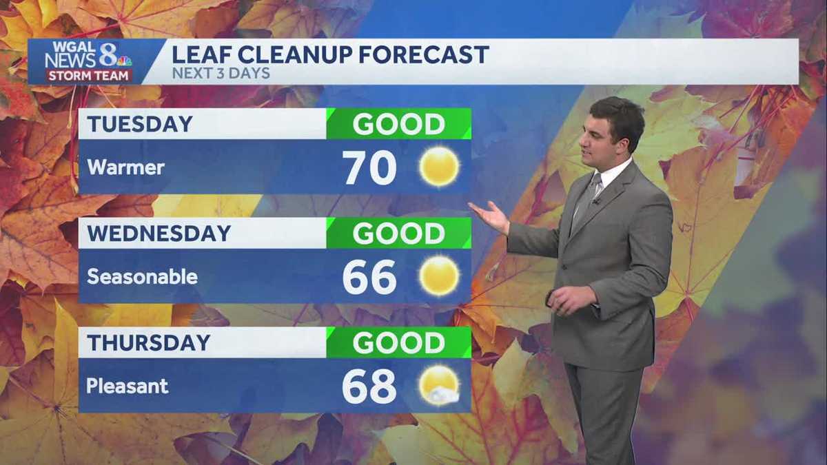 Seasonable sunshine and temperatures continue throughout the week in south central Pennsylvania
At or above average temperatures and 10 days of dry weather ahead. Tuesday looks to be the warmest day of the workweek. Expect bright blue skies and highs climbing to around 70 degrees. From Wednesday through Friday…
-
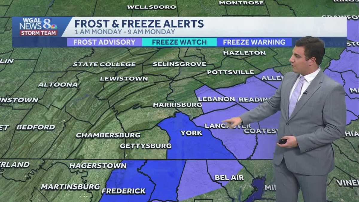 Impact: Frost & freeze alerts issued for some on Sunday night; sunny stretch next week in south central Pennsylvania
Another chilly and frosty night across south central Pennsylvania with lows dropping into the 30s. The National Weather Service has issued freeze warnings and frost advisories for parts of the Susquehanna Valley where…
-
 Freeze Watch Upgraded to Warning for Almost All of Pennsylvania as Conditions Worsen
Freeze Warnings are now in effect for most of Pennsylvania from 1 a.m. to 9 a.m. EDT Sunday, with lows between 25 and 30 degrees expected in central Pennsylvania. The earlier Freeze Watches have been upgraded to…
-
 Pennsylvania weather: Cold, cloudy, breezy in upper 40s
Alert!: Freeze watch Saturday night through Sunday morning (WBRE/WYOU) — Skies will clear and winds will diminish Saturday night with high pressure moving overhead. The clear sky and light winds will allow for cooling…
-
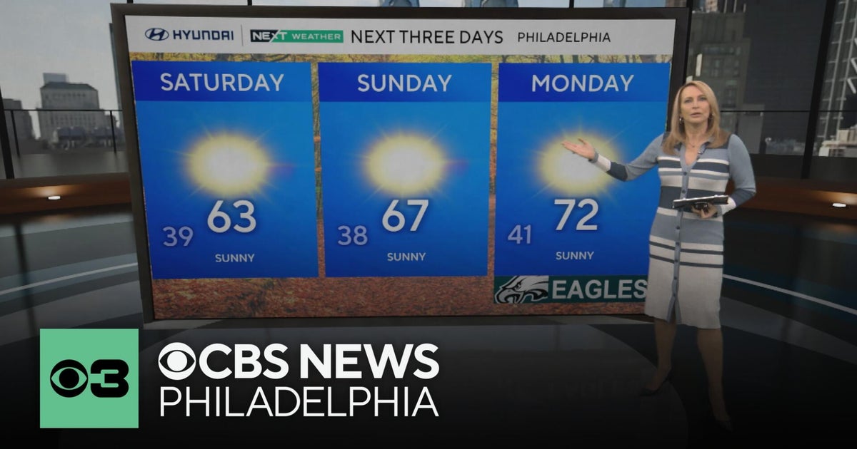 Frosty mornings and sunny days ahead in the Philadelphia area | NEXT Weather
CBS News Bay Area Morning Edition Weekend 7am CBS News Chicago Saturday at 9am CBS Colorado Mornings Weekend CBS News Los Angeles Weekend 7am CBS News Miami This Morning 10am CBS News New York Saturday 10am KDKA News…
-
 Another round of wind and showers Saturday in Minnesota | Oct. 24, 2026
CBS News Bay Area Morning Edition Weekend 6am WBZ This Morning 8am CBS News Chicago Saturday 8am CBS Colorado Mornings Weekend CBS News Los Angeles Weekend 6am CBS News Miami This Morning 9am WCCO News Saturday Morning…
-
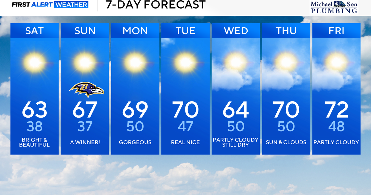 Perfect Fall weather across Maryland this weekend
October 24, 2026 / 9:12 AM EDT / CBS Baltimore The first full dry weekend of October will bring plenty of sunshine and comfortable daytime temperatures in the 60's through the weekend. After frosty mornings through the…
-
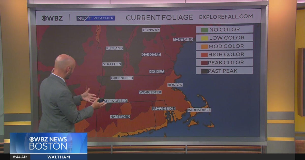 Next Weather: WBZ morning forecast for October 24, 2026
CBS News Bay Area Morning Edition Weekend 6am WBZ This Morning 8am CBS News Chicago Saturday 8am CBS Colorado Mornings Weekend CBS News Los Angeles Weekend 6am CBS News Miami This Morning 9am WCCO News Saturday Morning…
-
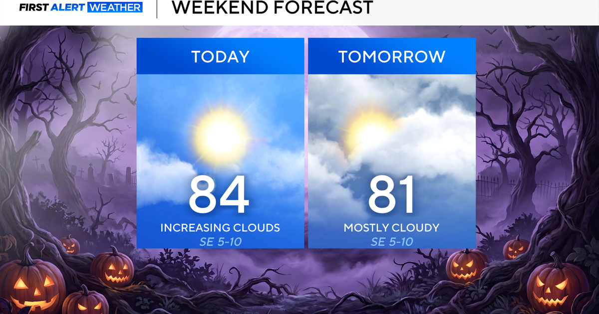 North Texas seeing rain chances return next week
October 24, 2026 / 7:21 AM CDT / CBS Texas North Texas was off to a seasonable start on Saturday morning, with temperatures mainly in the 50s. Temperatures will remain above average this weekend, with highs in the lower…
-
 Storm Boelo to bring gusts of up to 80mph and heavy rain to parts of UK
Second named storm in as many days will hit northern parts of UK as thousands remain without power after Friday’s Storm Austen The UK is bracing for a second storm this weekend, as strong winds and heavy rain are…
Air quality
Air quality is satisfactory, and air pollution poses little or no risk.
Forecast
- SatGood (30)
- SunGood (35)
- MonGood (30)
State College, PA reporting area · 1 hr ago. Data from AirNow (EPA and its state, local and tribal partners); preliminary and subject to change.
Sun & moon
Almanac
MonthlyState College, records since 1882. Normals 1991–2020. Data from NOAA's Regional Climate Centers (ACIS).
Nearby
- Altoona 59 km
- State College 7 km
- Shiloh 52 km
- Park Forest Village 12 km
- Lock Haven 49 km
- Lewistown 27 km
- Huntingdon 38 km
- Bellefonte 15 km
- Tyrone 40 km
- Pleasant Gap 10 km
- Philipsburg 39 km
- Greenwood 56 km
Forecasters' discussion
From the National Weather Service office in CTP, issued 5 hrs ago
What Has Changed
* No significant changes
Key Messages
1) Dry forecast holds for the next 6-7 days
Discussion
KEY MESSAGE 1: Dry forecast holds for next 6-7 days
Widespread freezing conditions will be tough to come by across Lebanon and Lancaster Counties, but typically colder valleys will see temps dip to 31-32F and fairly widespread frost should occur elsewhere throughout the Freeze Warning.
A sprawling ridge of high pressure stretching from Southeastern Canada through the Mid Atlantic Region and into the Southeastern U.S. will remain nearly stationary over the next 7 days. This will keep the probability for measurable rain at zero here in Pennsylvania during this period.
Sunny skies will prevail across the CWA today with high temperatures mainly in the upper 50s to low 60s, though the highest ridges will only reach the mid 50s. Lows tonight will be similar to those this morning (upper 20s to mid 30s) and highs Sunday afternoon will be about 2 degrees warmer than today.
A pair of weak, moisture-starved cold fronts and flat northern stream short waves, will drift SE from the from the Upper Great Lakes Mon night-Tues and late Thurs into early Friday, but PoPs are hardly worth having as PWATs stay very low with each.
Later next week into at least Saturday (10/31), the wetter trending GFS members have flipped toward the drier EC with a notable upper level ridge building over the Ohio Valley and Mid Atlantic Region.
Aviation
Looking at mainly VFR conditions to prevail this weekend, as high pressure remains over the region. Winds will be on the light side as well. Valley fog will be possible both Sat and Sun morning, with a 30-40 pct chance of impacting BFD and IPT.
This weather pattern likely to last at least into mid week.
Sun-Wed...VFR prevailing conditions.
Forecasts, observations and alerts in the United States come from the National Weather Service (NOAA); radar from NOAA's Multi-Radar Multi-Sensor system; satellite imagery from NASA's Global Imagery Browse Services (GIBS) and NOAA's GOES satellites; the map from the U.S. Geological Survey's National Map; air quality from AirNow (EPA and its partners); hurricane information from the National Hurricane Center; climate normals and records from NOAA's Regional Climate Centers (ACIS). Forecasts outside the United States and the UV index: MET Norway (CC BY 4.0); observations outside the U.S.: airport reports via NOAA's Aviation Weather Center. Place names: GeoNames (CC BY 4.0). Data are copied on a schedule and may lag the sources; for warnings that affect your safety, follow your local National Weather Service office and emergency officials. Weather news is drawn from the 4Conservative index and reflects what the press published. Terms of use.