Install
Park Forest Village, PA Weather
Current conditions
Observed at State College Regional Airport · 1 hr ago
Forecast
10-day-
Sunday Night
Mostly clear, with a low around 34.
-
Monday
Sunny, with a high near 67.
-
Monday Night
Mostly clear, with a low around 40.
National Weather Service forecast updated 3 days ago.
Hourly
Hourly forecast- Now37°
- 5 AM36°
- 6 AM34°
- 7 AM34°
- 8 AM35°
- 9 AM41°
- 10 AM48°
- 11 AM55°
- 12 PM60°
- 1 PM63°
- 2 PM65°
- 3 PM67°
- 4 PM67°
- 5 PM66°
- 6 PM63°
- 7 PM59°
- 8 PM55°
- 9 PM52°
- 10 PM49°
- 11 PM47°
- Tue12 AM46°
- 1 AM45°
- 2 AM44°
- 3 AM43°
10-day forecast
Details- ThuOct 22Sunny39°62°
- FriOct 23Sunny31°59°
- SatOct 24Widespread Frost then Sunny30°59°
- SunOct 25Widespread Frost then Sunny34°62°
- TodayOct 26Sunny40°67°
- TueOct 27Mostly Sunny41°63°
- WedOct 28Mostly Cloudy40°62°
- ThuOct 29Partly cloudy0.02 in45°64°
- FriOct 30Mostly sunny34°53°
- SatOct 31Mostly sunny31°53°
Days after the National Weather Service's seven are MET Norway's outlook, a computer model with no forecaster's review.
Radar
Full mapWeather news in Pennsylvania
More weather news-
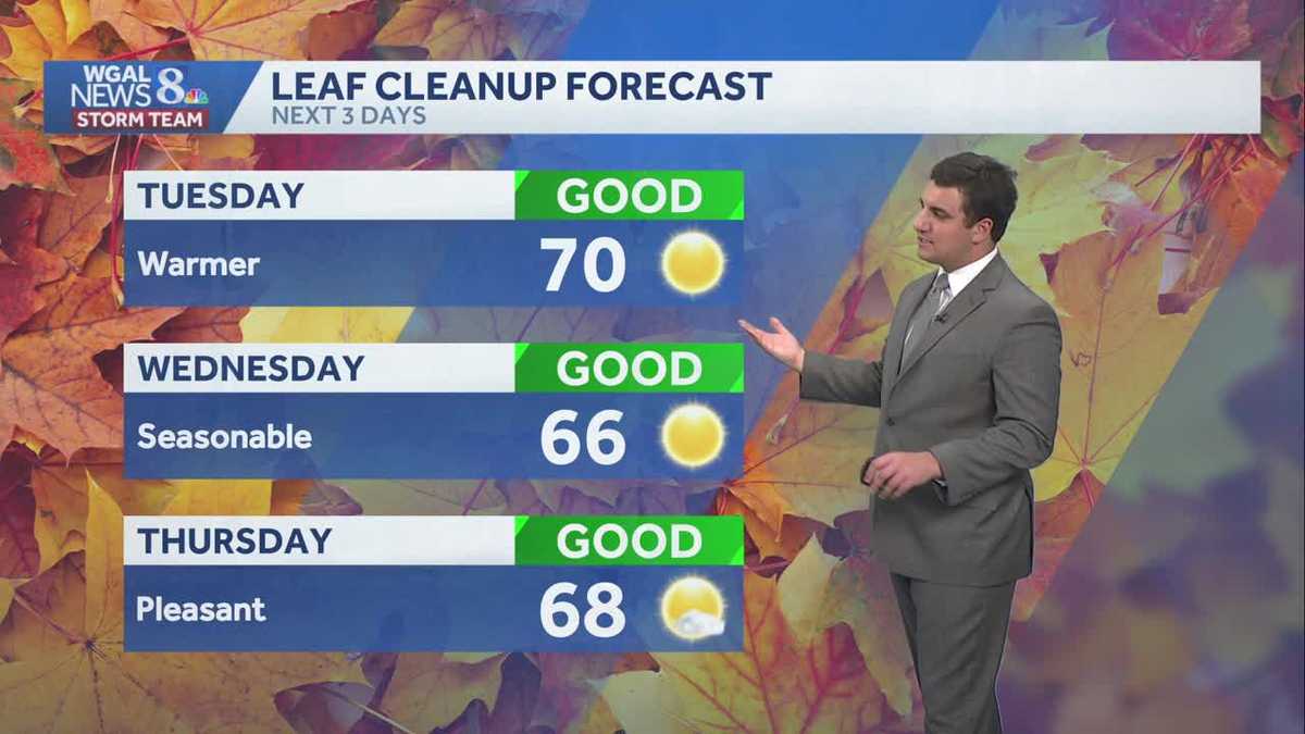 Seasonable sunshine and temperatures continue throughout the week in south central Pennsylvania
At or above average temperatures and 10 days of dry weather ahead. Tuesday looks to be the warmest day of the workweek. Expect bright blue skies and highs climbing to around 70 degrees. From Wednesday through Friday…
-
 Storm Boelo clears but more wind and rain bears down on UK
After a weekend of heavy downpours and severe gales, Storm Boelo is moving away from the UK and the weather has turned calmer. However, this may not last long as another deep area of low pressure is already approaching…
-
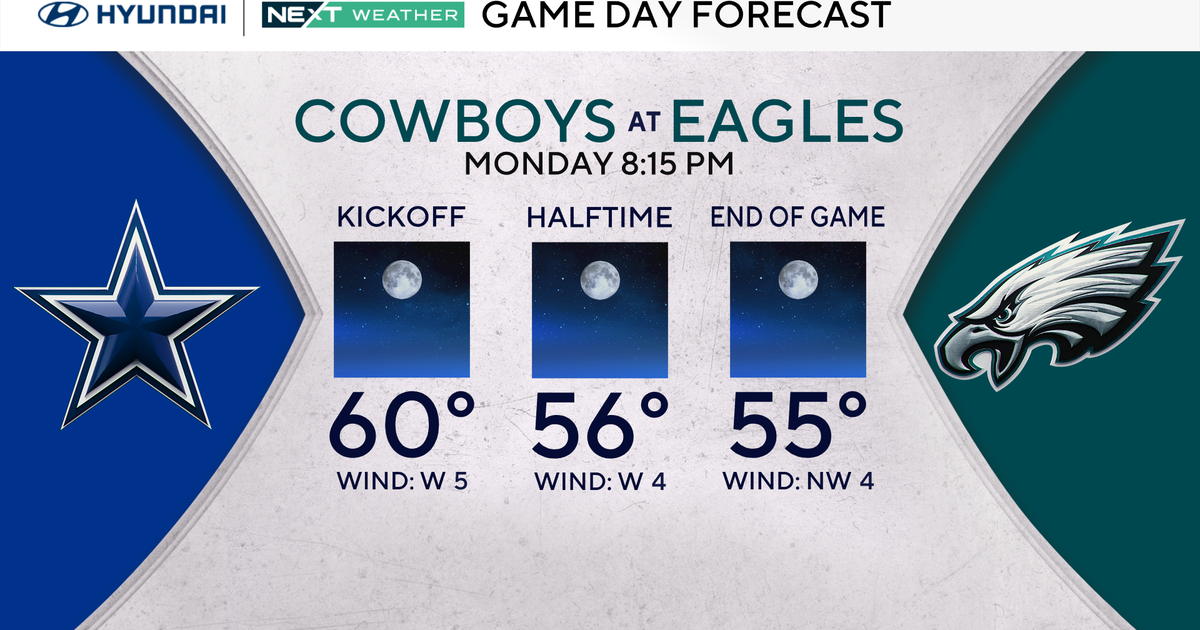 Terrific stretch of October weather continues for Philadelphia Eagles-Dallas Cowboys game Monday
October 25, 2026 / 11:52 PM EDT / CBS Philadelphia It will be a beautiful start to the workweek with plenty of sunshine, light winds and temperatures climbing to around 70 degrees in the Philadelphia region. We're…
-
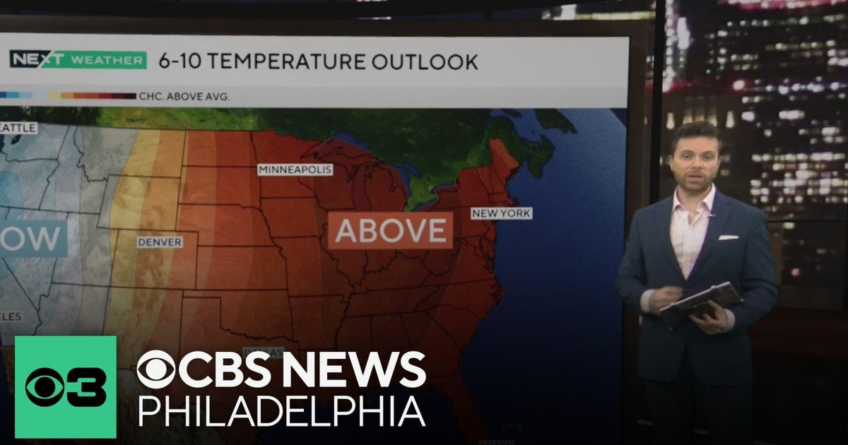 Beautiful stretch of October weather in Philadelphia region
CBS News Philadelphia is a local news organization that is part of CBS News and Stations. Also referred to as KYW-TV and channel 3, CBS News Philadelphia offers local breaking news, weather coverage and investigative…
-
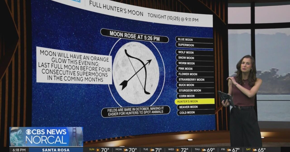 First Alert Weather Sunday evening forecast 10-25-26
CBS News Bay Area Evening Edition Weekend 6pm CBS News Detroit Weekend 6:30pm CBS News Miami 6:30pm CBS Philadelphia at 6:30pm KDKA News Weekend 10pm Your Community Stories From Your Reporters CBS News Texas 5:30pm
-
 Next Weather: WBZ Evening Update for Oct. 25
CBS News Colorado Weekend 5pm CBS News Detroit Weekend 6:30pm CBS News Miami 6:30pm CBS Philadelphia at 6:30pm KDKA News Weekends 6:30pm CBS News Texas 5:30pm
-
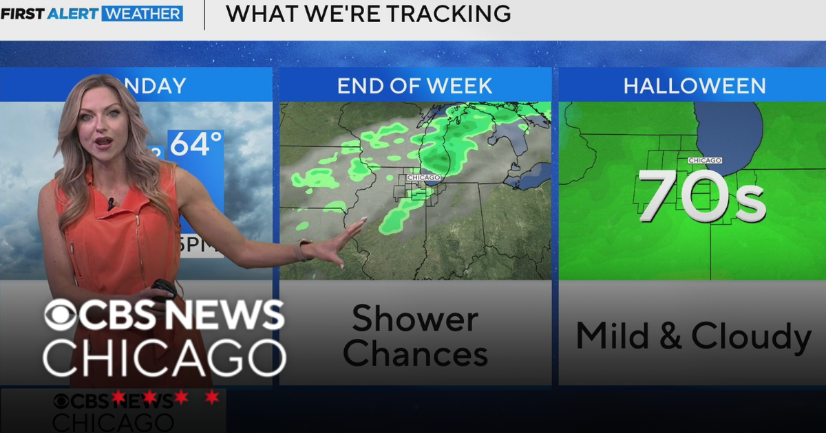 Areas of fog in Chicago Sunday night
CBS News Colorado Weekend 5pm CBS News Detroit Weekend 6:30pm CBS News Miami 6:30pm CBS Philadelphia at 6:30pm KDKA News Weekends 6:30pm CBS News Texas 5:30pm
-
 Wintry encore for Alberta as coldest air since April arrives
Prepare for subfreezing high temperatures by the middle of the week The recent burst of wintry weather in Alberta was a taste of the cold air and snow to come heading into the final week of October. Expect the coldest…
-
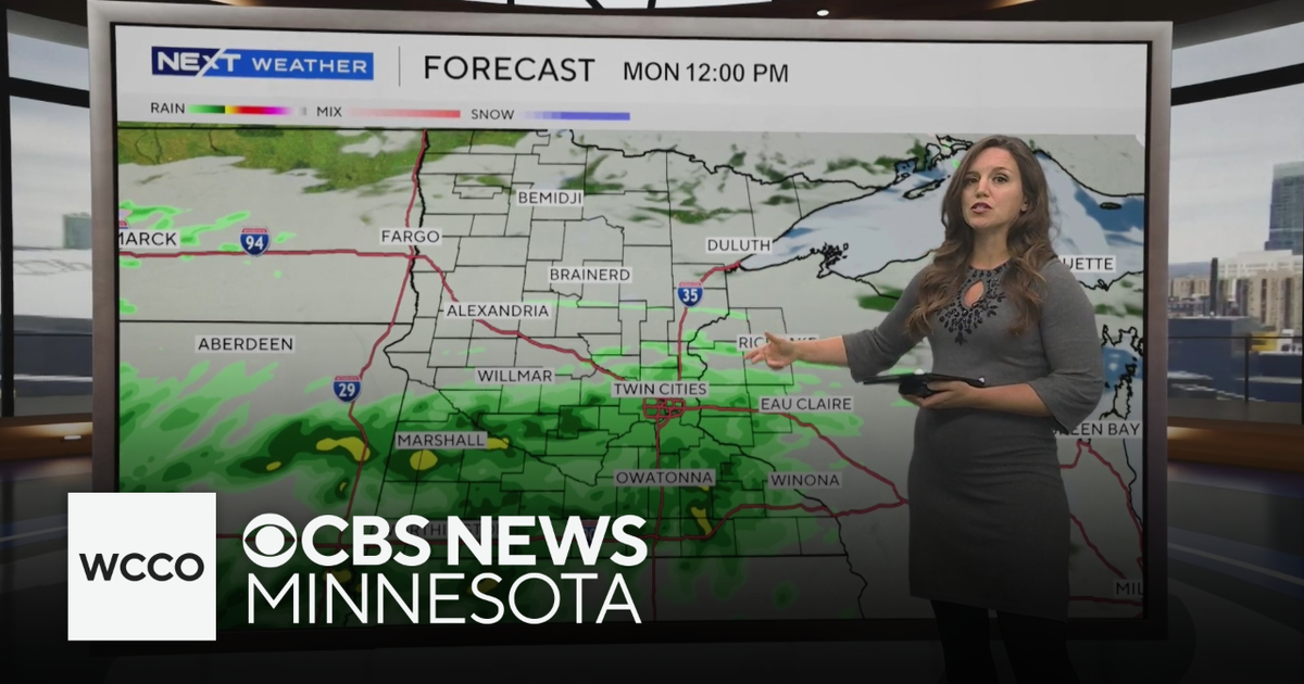 Expect below average temperatures and rain to start the work week | Oct. 25, 2026
CBS News Minnesota is a local news organization that is part of CBS News and Stations. Also referred to as WCCO-TV and channel 4, CBS News Minnesota offers local breaking news, weather coverage and investigative…
-
 Martin's Haven
For more information, please see FAQs. Contains ADMIRALTY ® data: © Crown copyright and database right BBC Weather in association with MeteoGroup, external Copyright © 2026 BBC. The BBC is not ... Right now, the tide in…
Air quality
Air quality is satisfactory, and air pollution poses little or no risk.
Forecast
- MonGood (30)
- TueGood
State College, PA reporting area · 1 hr ago. Data from AirNow (EPA and its state, local and tribal partners); preliminary and subject to change.
Sun & moon
Almanac
MonthlyState College, records since 1882. Normals 1991–2020. Data from NOAA's Regional Climate Centers (ACIS).
Nearby
- Altoona 51 km
- State College 5 km
- Shiloh 41 km
- Lock Haven 54 km
- Lewistown 37 km
- Huntingdon 37 km
- Bellefonte 17 km
- Clearfield 50 km
- Hollidaysburg 58 km
- Tyrone 31 km
- Boalsburg 11 km
- Pleasant Gap 16 km
Forecasters' discussion
From the National Weather Service office in CTP, issued 9 hrs ago
What Has Changed
* No significant changes
Key Messages
1) Rain-free conditions will persist through the end of October
Discussion
KEY MESSAGE 1: Rain-free conditions will persist through the end of October
A large area of high pressure will remain in place over the Northeast U.S. and Central Appalachians. Expect mainly clear skies and rain-free conditions right through the upcoming week.
Fog is a tough call for tonight. HREF and REFS probabilities are highest around LNS and over the NW mtns. However, clouds moving in from the NW could keep the NW from getting too foggy. The best bets are the same places as have been the last few nights (W Br Susq and Susq above Harrisburg, and Lake Raystown). Have mentioned patchy fog in many places due to the uncertainty, but kept dense fog mention to IPT/LNS.
Moderate variations will occur in daily and nocturnal temperatures as at least one weak, dry cold fronts move SE across the Commonwealth during the upcoming 5-6 days. Wind direction/speed and cloud cover will also show some minor day- day variations.
The first of the aforementioned dry cold fronts will slip SE across the CWA Monday night into early Tuesday, but with only limited moisture to work with, just some periods of BKN, shallow strato cu and cirrus will occur with no rainfall expected beyond a few sprinkles over the Northern Mtns Monday night. Have kept the PoPs below mentionable for now on Mon night. This front seems like it may slide in before it makes low clouds in the nrn tier.
After a brief shot of seasonably cool air Tuesday and Wed (directed mainly at the NE half of the state), a late week/Saturday rebound in temps (to well above normal values in the low-mid 60s across the Mtns and upper 60s to mid 70s in the Central and Southern Valleys) will follow. A second, weak frontal boundary could brush by across the Northern tier counties Friday afternoon and night. New Day8 is wet (40-60 PoPs) as the pattern shifts to a more-zonal flow for the east. GFS is still dry, though. Models/members are not in as good of agreement from then onward.
Aviation
Bright moonlight skies and light winds will prevail overnight, as high pressure remains over the area. A few high clouds, mainly at BFD.
As was the case last night, a very strong inversion could result in some fog and lower clouds late, even with the very dry air. Overall I did not change much from the 18Z TAF package for overnight.
More detail below.
The greatest chances for fog and lower CIGS are at IPT, MDT, and LNS, given weaker flow down there, closer to the high center.
Outlook...
Mon-Fri...VFR prevailing conditions.
Forecasts, observations and alerts in the United States come from the National Weather Service (NOAA); radar from NOAA's Multi-Radar Multi-Sensor system; satellite imagery from NASA's Global Imagery Browse Services (GIBS) and NOAA's GOES satellites; the map from the U.S. Geological Survey's National Map; air quality from AirNow (EPA and its partners); hurricane information from the National Hurricane Center; climate normals and records from NOAA's Regional Climate Centers (ACIS). Forecasts outside the United States and the UV index: MET Norway (CC BY 4.0); observations outside the U.S.: airport reports via NOAA's Aviation Weather Center. Place names: GeoNames (CC BY 4.0). Data are copied on a schedule and may lag the sources; for warnings that affect your safety, follow your local National Weather Service office and emergency officials. Weather news is drawn from the 4Conservative index and reflects what the press published. Terms of use. How to use Weather