Install
El Tuito, Jalisco, Mexico Weather
Current conditions
Forecast for this hour (no station report in the last two hours)
Forecast
10-day-
Wednesday
Light showers. High 30°. Precipitation 2.1 mm for the day.
-
Wednesday Night
Fog. Low 22°. Precipitation 2.1 mm for the day.
-
Thursday
Heavy showers. High 30°. Precipitation 3.4 mm for the day.
MET Norway forecast updated 8 hrs ago.
Hourly
Hourly forecast- Now22°
- 05:0022°
- 06:0022°
- 07:0022°
- 08:0025°
- 09:0027°
- 10:0029°
- 11:0030°
- 12:0030°0.2
- 13:0030°0.5
- 14:0029°0.7
- 15:0028°0.4
- 16:0029°0.3
- 17:0028°
- 18:0027°
- 19:0025°
- 20:0025°
- 21:0024°
- 22:0024°
- 23:0024°
- Thu00:0023°
- 01:0023°
- 02:0023°
- 03:0023°
Daily forecast
DetailsRadar
Full mapWeather news near El Tuito
More weather news-
 Weather Of The World: October 18
A view of the Garonne River at a historically low level due to a lack of rainfall, successive summer heat waves and the prefecture's low-water management policy in Toulouse, in southwestern France, on Oct. 14, 2026…
-
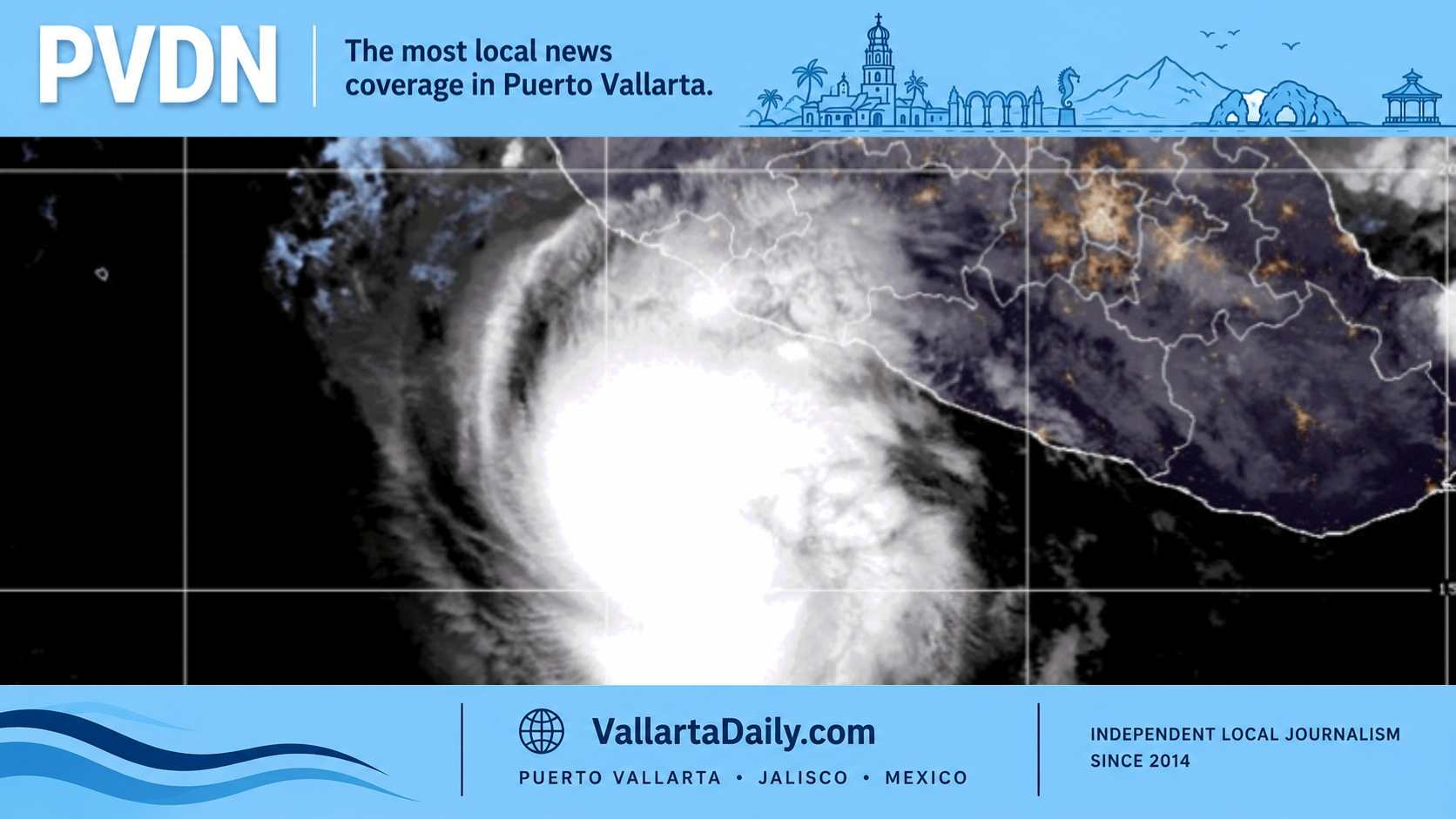 What Puerto Vallarta should prepare for as Trudy nears
Puerto Vallarta News Puerto Vallarta, Jalisco, October 17, 2026 — Puerto Vallarta remained under a tropical storm warning Saturday as Hurricane Trudy approached Mexico’s Pacific coast, bringing weekend threats of…
- Hurricane Simon Strengthens to 110 MPH as Mexico’s Pacific Coast Remains on Alert
Hurricane Simon has strengthened again off Mexico’s Pacific coast, reaching sustained winds of 110 mph (175 km/h) as the storm moves slowly west of Cabo Corrientes, according to the US National Hurricane Center. The…
-
 Trudy rapidly intensified as Simon struggles; both storms are threatening Mexico's coast
Trudy has joined the long list of major hurricanes in the eastern Pacific and will blast the coast of Mexico with high winds and flooding. Meanwhile, Simon is hanging on with some rain and wind near Baja California…
-
 Going to Sayulita’s Surf Contest? Check Before You Go
Puerto Vallarta News Sayulita, Nayarit, October 16, 2026 — Municipal lifeguards are covering the October 16–18 Longboard Contest as Hurricane Trudy prompts a tropical storm watch for the coast. In its 9 a.m. Friday…
-
 Hurricane Trudy Path and Intensity: What We Know
Hurricane Trudy path and intensity are the two questions for Mexico’s Pacific coast this weekend. The latest US advisory shows a Category 3 storm with 120 mph (195 km/h) winds, forecast to pass near Colima and Jalisco…
-
 Trudy rapidly intensifies as Simon struggles; both storms are threatening Mexico's coast
Trudy will remain a powerful hurricane as it tracks just off Mexico's west-central coast through this weekend with high winds, heavy seas and torrential rain. Meanwhile, some of Simon's moisture near Mexico's Baja…
-
 Trudy Heads for PVR in “Endless Conveyor Belt of Tropical Cyclones”
Hurricane Trudy is heading for Puerto Vallarta (PVR), the latest in what The New York Times calls an “endless conveyor belt of tropical cyclones” sweeping across the Pacific. If Trudy reaches Category 3 or above, it…
- Hurricane Trudy Reaches Category 3 With 120 MPH Winds as Mexico Faces New Threat
Hurricane Trudy has rapidly intensified into a Category 3 storm off Mexico’s Pacific coast, reaching maximum sustained winds of 120 mph (195 km/h) as forecasters warn of potentially dangerous conditions along the…
-
 Heavy rain could bring flash flooding to New Mexico, southwest Colorado through Friday
KRQE A strong storm system will bring widespread rain to New Mexico and southwest Colorado starting Wednesday, with several inches of rain possible in some areas through Friday Heavy rainfall could lead to flash…
Sun & moon
Nearby
- Puerto Vallarta 34 km
- Ixtapa 46 km
- San José del Valle 50 km
- Mezcales 46 km
- Bucerías 49 km
- San Vicente 48 km
- San Juan de Abajo 57 km
- Las Juntas 43 km
- Tomatlán 43 km
- Talpa de Allende 53 km
- Valle de Banderas 55 km
- Las Jarretaderas 42 km
Forecasts, observations and alerts in the United States come from the National Weather Service (NOAA); radar from NOAA's Multi-Radar Multi-Sensor system; satellite imagery from NASA's Global Imagery Browse Services (GIBS) and NOAA's GOES satellites; the map from the U.S. Geological Survey's National Map; air quality from AirNow (EPA and its partners); hurricane information from the National Hurricane Center; climate normals and records from NOAA's Regional Climate Centers (ACIS). Forecasts outside the United States and the UV index: MET Norway (CC BY 4.0); observations outside the U.S.: airport reports via NOAA's Aviation Weather Center. Place names: GeoNames (CC BY 4.0). Data are copied on a schedule and may lag the sources; for warnings that affect your safety, follow your local National Weather Service office and emergency officials. Weather news is drawn from the 4Conservative index and reflects what the press published. Terms of use.