Install
Mponela, Central Region, Malawi Weather
Current conditions
Forecast for this hour (no station report in the last two hours)
Forecast
10-day-
Wednesday
Sunny. High 33°.
-
Wednesday Night
Partly cloudy. Low 21°.
-
Thursday
Mostly sunny. High 34°.
MET Norway forecast updated 20 hrs ago.
Hourly
Hourly forecast- Now33°
- 13:0033°
- 14:0033°
- 15:0032°
- 16:0032°
- 17:0030°
- 18:0028°
- 19:0027°
- 20:0025°
- 21:0024°
- 22:0024°
- 23:0024°
- Thu00:0024°
- 01:0023°
- 02:0023°
- 03:0023°
- 04:0023°
- 05:0022°
- 06:0023°
- 07:0027°
- 08:0028°
- 09:0030°
- 10:0031°
- 11:0033°
Daily forecast
DetailsRadar
Full mapWeather news in Malawi
More weather news-
 Malawi to roast in 42C heatwave as experts warn lives could be at risk
Malawi is set to swelter under a brutal heatwave this week, with temperatures predicted to soar to a scorching 42C in some areas, prompting urgent health warnings from authorities. The Department of Climate Change and…
-
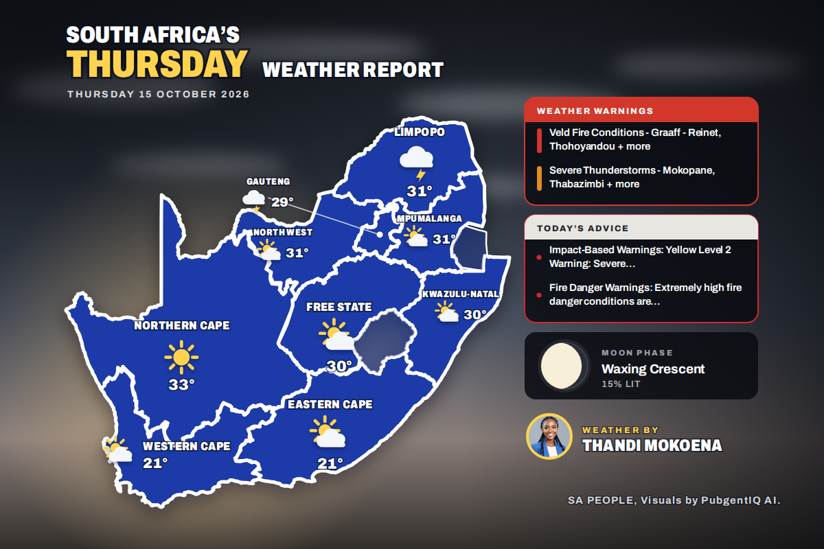 Here is today’s weather by province: Limpopo on alert as severe storms target Mokopane and Thabazimbi
Home » Here is today’s weather by province: Limpopo on alert as severe storms target Mokopane and Thabazimbi Kimberley is the hottest spot at 32°C, while Bloemfontein swings from a chilly 12°C to 30°C and Polokwane…
-
 Boat owners urged to prepare for Storm Austen
Boat owners in Guernsey have been advised to ensure their vessels are safe ahead of stormy weather Boat owners have been told to ensure their vessels are ready for the winter with stormy conditions forecast. Guernsey…
-
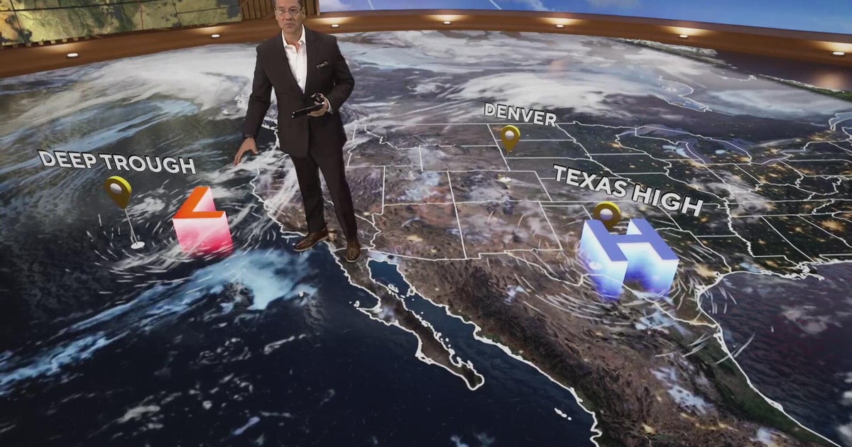 More clouds for Front Range with flooding rains heading to southwest Colorado
CBS News More clouds for Front Range with flooding rains heading to southwest Colorado MS misdiagnoses raise concerns, Colorado doctors warn of unnecessary treatment risks College bound Coloradans get ready for state…
-
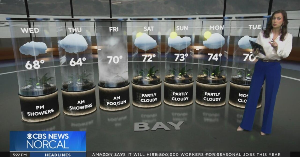 Tuesday evening First Alert weather forecast - 10/20/26
CBS News Tuesday evening First Alert weather forecast - 10/20/26 Becerra, Hilton campaign for California governor in Bay Area 2 weeks out from Election Day Oakland considers raising nuisance property fines to $10,000 a…
-
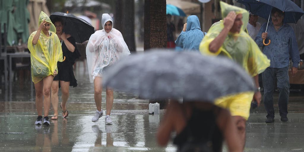 Slow-moving system could bring days of heavy rain and flooding to the Bahamas and Florida
A slow-moving system is developing near the Southwest Atlantic, bringing days of rain to Florida. Some areas could see 3 to 5 inches. A Level 1 out of 4 flash flood risk has been issued for Friday, while a Level 2 out…
-
 California's rainy season to arrive with flood threat, tornado risk and Sierra snow
California's wet season is starting off with a bang. The first significant storm of the season is forecast to bring heavy rain to vulnerable burn scars near Big Sur, coastal tornado risk to the Los Angeles area, and a…
-
 Could history repeat itself? How past Super El Niño winters offer clues about what's ahead
Winter is near, and super El Niño is forecast to make it quite a winter to remember. FOX Weather Meteorologists Stephen Morgan, Bayne Froney, Britta Merwin and Craig Herrera break down the forecast and talk about past…
-
 Storms descend on Southern California, raising risk of dangerous surf, flooding, debris flows
Rain is anticipated for Southern California on Wednesday into Thursday as the National Weather Service cautioned about potential beach hazards and thunderstorms from Oxnard to the Mexico border. The weather service's…
-
 Where to spot brilliant colours after 'false autumn' spoils some leaf displays
There was a stunning display of autumnal colours in 2025 after a warm and sunny summer, but how will this year's heat affect the seasonal display? This year's display of autumn leaves could look rather different…
Forecasts, observations and alerts in the United States come from the National Weather Service (NOAA); radar from NOAA's Multi-Radar Multi-Sensor system; satellite imagery from NASA's Global Imagery Browse Services (GIBS) and NOAA's GOES satellites; the map from the U.S. Geological Survey's National Map; air quality from AirNow (EPA and its partners); hurricane information from the National Hurricane Center; climate normals and records from NOAA's Regional Climate Centers (ACIS). Forecasts outside the United States and the UV index: MET Norway (CC BY 4.0); observations outside the U.S.: airport reports via NOAA's Aviation Weather Center. Place names: GeoNames (CC BY 4.0). Data are copied on a schedule and may lag the sources; for warnings that affect your safety, follow your local National Weather Service office and emergency officials. Weather news is drawn from the 4Conservative index and reflects what the press published. Terms of use.