Install
Kakuda, Miyagi, Japan Weather
Current conditions
Forecast for this hour (no station report in the last two hours)
Forecast
10-day-
Friday
Sunny. High 16°.
-
Friday Night
Partly cloudy. Low 5°.
-
Saturday
Heavy rain. High 16°. Precipitation 10.4 mm for the day.
MET Norway forecast updated 1 day ago.
Hourly
Hourly forecast- Now11°
- 20:0010°
- 21:009°
- 22:009°
- 23:009°
- Sat00:009°
- 01:009°
- 02:009°
- 03:009°
- 04:009°
- 05:009°
- 06:0010°
- 07:0011°
- 08:0012°
- 09:0014°
- 10:0016°0.3
- 11:0016°0.5
- 12:0016°0.8
- 13:0016°1.7
- 14:0016°1.3
- 15:0016°1.4
- 16:0016°0.7
- 17:0015°0.2
- 18:0015°0.4
Daily forecast
DetailsRadar
Full mapWeather news in Japan
More weather news-
 Super Typhoon Champi, one of the strongest storms this year, will impact Taiwan, China and Japan
Super Typhoon Champi made a close pass to Guam, tied for strongest storm of the year, and will now affect Taiwan, China and Japan. Published Oct 19, 2026 12:22 PM EDT | Updated Oct 22, 2026 12:45 PM EDT Depending on the…
-
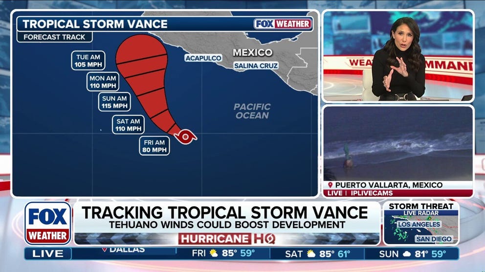 Tropical Storm Vance could intensify into a major hurricane, while Champi threatens Taiwan and Japan
Tropical Storm Vance is expected to strengthen into the 13th hurricane in the Pacific Basin this season as it approaches Mexico next week. Vance could intensify into a major hurricane, which would be the basin's 10th…
-
 Large, strong typhoon advancing toward southern Japan, moving to northwest
TOKYO - A large and very strong typhoon is moving in a northwesterly direction off Japan's southern islands, the weather agency said Friday, warning of possible torrential rainfall in the region. Typhoon Champi, the…
- Typhoon Champi bears down on Taiwan and Japan after October 20 Category 5 peak
Typhoon Champi is forecast to bring very heavy rain to eastern Taiwan on October 23 before turning towards Japan, where heavy rain is expected on October 25–26, according to a weather outlook report. The storm is…
-
 Canada issued new travel advisories for 7 popular vacation spots, including Japan and Mexico
Typhoons, hurricanes, protests and disease outbreaks have all led to new warnings. Global Affairs Canada updates its travel advice constantly. As nights get longer and temperatures plummet, plenty of Canadians are…
-
 Will We Still Get Japow During Super El Niño?
El Niño has has officially reached uncharted territory. Water in the equatorial Pacific has now been measured at 3.3°C (5.9°F) above average, surpassing the previous record set in November 2015. Even Japan, famous for…
-
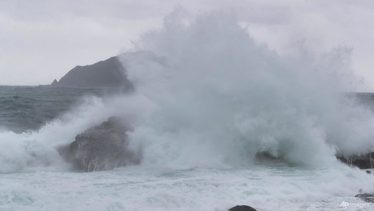 Taiwan shuts down ahead of Typhoon Champi, hundreds of flights cancelled
TAIPEI: Almost all of Taiwan shut down on Friday (Oct 23) ahead of the arrival of Typhoon Champi, which is forecast to bring strong winds and torrential rain, though the storm is weakening and is not expected to make…
-
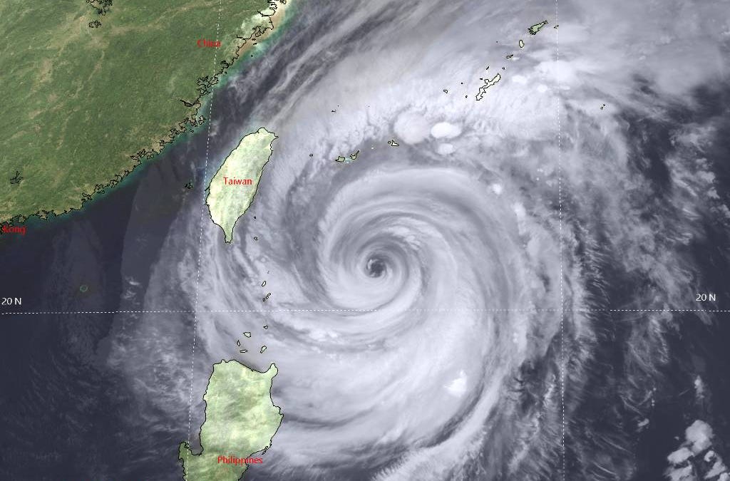 Typhoon Champi Nears Taiwan
As of the latest 1500Z Joint Typhoon Warning Center (JTWC), Typhoon Champi is a highly complex, very large system generating 40-foot significant wave heights. During the next 24-36 hours the system should turn…
- Taiwan shuts down ahead of weakening Typhoon Champi, hundreds of flights cancelled
TAIPEI, Oct 23 (Reuters) – Almost all of Taiwan shut down on Friday ahead of the arrival of Typhoon Champi, which is forecast to bring strong winds and torrential rain, though the storm is weakening and is not…
-
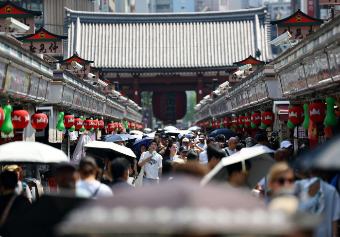 Record-late 30°C heat grips wide swathe of Japan
PUBLISHED : 21 Oct 2026 at 17:22 KYODO — A wide swath of Japan faced sweltering heat on Wednesday, with temperatures in some regions recording the latest day in the year to top 30 degrees Celsius, prompting many to…
Sun & moon
Nearby
- Sendai 34 km
- Fukushima 37 km
- Yamagata 46 km
- Yonezawa 58 km
- Natori-shi 23 km
- Tendō 55 km
- Tagajō-shi 41 km
- Date 30 km
- Minami-Sōma 42 km
- Nihommatsu 53 km
- Shiogama 44 km
- Tomiya 48 km
Forecasts, observations and alerts in the United States come from the National Weather Service (NOAA); radar from NOAA's Multi-Radar Multi-Sensor system; satellite imagery from NASA's Global Imagery Browse Services (GIBS) and NOAA's GOES satellites; the map from the U.S. Geological Survey's National Map; air quality from AirNow (EPA and its partners); hurricane information from the National Hurricane Center; climate normals and records from NOAA's Regional Climate Centers (ACIS). Forecasts outside the United States and the UV index: MET Norway (CC BY 4.0); observations outside the U.S.: airport reports via NOAA's Aviation Weather Center. Place names: GeoNames (CC BY 4.0). Data are copied on a schedule and may lag the sources; for warnings that affect your safety, follow your local National Weather Service office and emergency officials. Weather news is drawn from the 4Conservative index and reflects what the press published. Terms of use.