Install
Date, Fukushima, Japan Weather
Current conditions
Forecast for this hour (no station report in the last two hours)
Forecast
10-day-
Wednesday
Rain. High 25°. Precipitation 6.8 mm for the day.
-
Wednesday Night
Rain. Low 16°. Precipitation 6.8 mm for the day.
-
Thursday
Light showers. High 17°. Precipitation 0.3 mm for the day.
MET Norway forecast updated 3 hrs ago.
Hourly
Hourly forecast- Now16°
- 02:0016°0.8
- 03:0016°
- 04:0017°0.7
- 05:0017°0.5
- 06:0016°0.2
- 07:0017°0.2
- 08:0017°
- 09:0019°0.6
- 10:0020°
- 11:0023°
- 12:0024°
- 13:0025°
- 14:0025°
- 15:0025°
- 16:0024°0.2
- 17:0022°
- 18:0021°0.7
- 19:0021°0.4
- 20:0018°0.9
- 21:0018°0.5
- 22:0018°0.6
- 23:0018°0.3
- Thu00:0017°
Daily forecast
DetailsRadar
Full mapWeather news near Date
More weather news-
 Egypt's Winter Outlook: Solstice Date & Temperature Expectations
The approaching season has prompted questions about when temperatures are expected to drop and colder weather will arrive across the country. According to astronomical calculations, winter will begin on Monday, December…
-
 Exact date Storm Austen will hit UK with 70mph winds as Brits urged to secure bins, trampolines and garden furniture
BRITS are bracing for heavy rain and 70mph gusts as stormy conditions look set to sweep across the UK this week. The Met Office has issued a yellow wind warning covering 38 areas of England and Wales for Friday. Here’s…
-
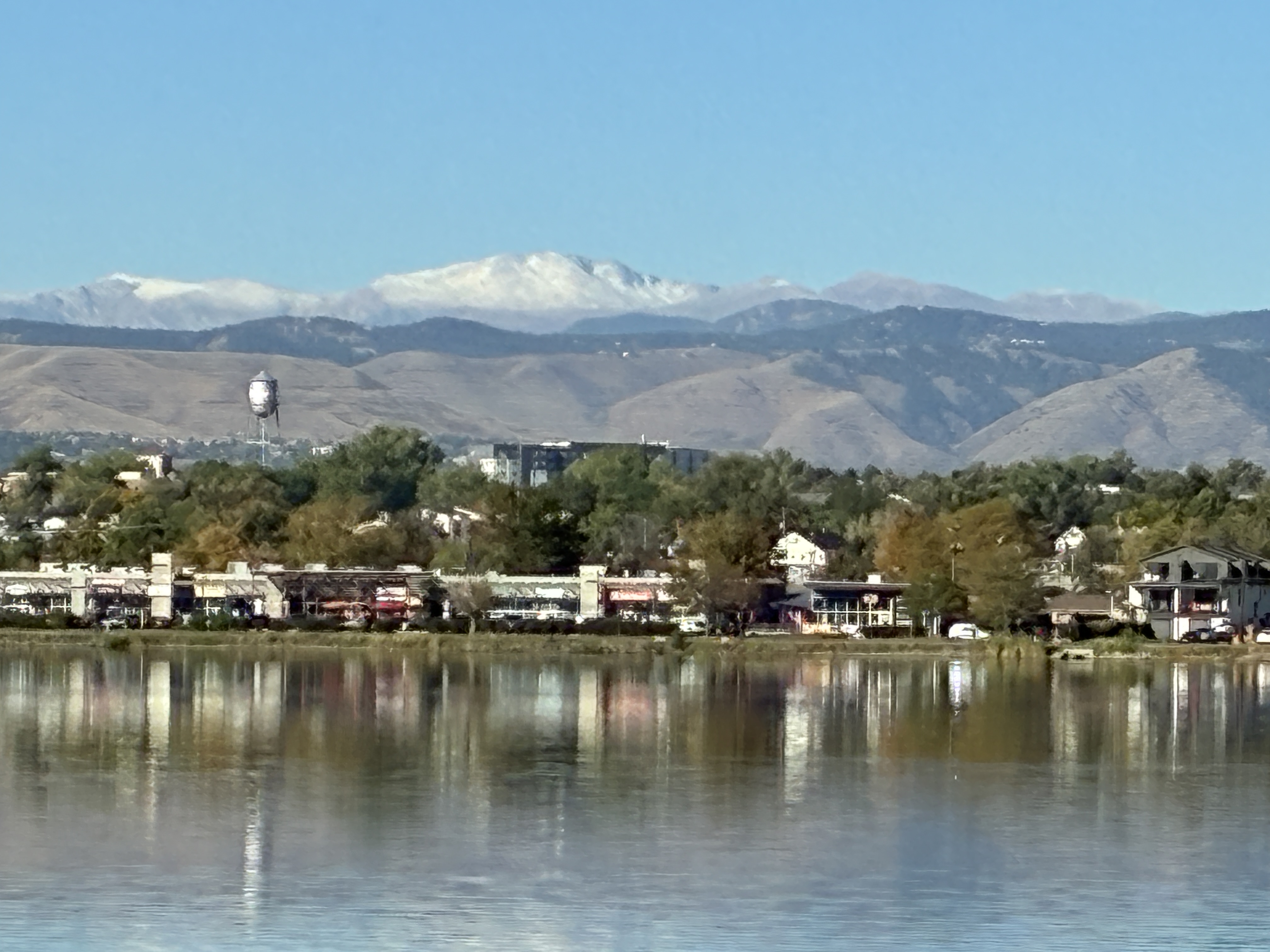 Denver still waiting on first snow as average date (October 19th) nears — Simon Roebuck (WeatherTotals.com) #snowpack
From email from Simon Roebuck: Denver has not recorded any snowfall for the 2026-27 season as of October 17, 2026. The average first measurable snow date, October 19, comes from National Weather Service Boulder records…
-
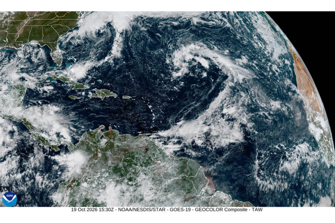 PUBLIC WEATHER FORECAST FOR ST. MAARTEN
DATE ISSUED: Monday 19th October 2026 @ 12:00 LST (16:00 UTC) VALID UNTIL: Tuesday midday (12:00 LST) 20th October 2026 Forecast Low: 27°C / 81°F This afternoon through Tuesday midday: Southeast to easterly, with a…
- Sunny Streak: Knoxville Basks in 70-Degree Afternoons, Jacket Weather at Dawn
The mild afternoons will come with distinctly chilly mornings and nights. Tonight will drop to around 43 degrees, so early risers may want a jacket even as the afternoon feels comfortably warm. Tuesday and Wednesday…
- When will Denver receive its first snowfall?
Cannabis calendar: Vampire dinner, pumpkin carving, costume skate party While 70-degree days have washed over Denver like a nice fall preamble, the city should have had its first snowfall by now, based on historical…
- Japan Declares Latest El Niño the Strongest on Record as Global Experts Debate Pacific Warming Metrics
Japan Meteorological Agency (JMA) recently confirmed that the current El Niño warming phenomenon is the most severe one in the history of monitoring dating back to 1949. According to JMA statistics, water temperatures…
- Columbus Shivers, Then Smiles: Frosty Wake-Up Starts Sunny, Dry Week
For broader context, NWS Wilmington’s 1991–2020 climatology lists Oct. 27 as Columbus’s normal date for its first 32°F freeze, a different measure from this frost advisory. Frost may linger through the early morning…
-
 Halley's comet Orionid meteor shower may be seen in Glasgow
A meteor shower may be seen over Glasgow later this week as the Earth passes through a stream of tiny debris left behind by Halley's comet. The annual Orionid meteor shower occurs every October, with this year's shower…
-
 Brits brace for heavy rain and 62mph gales as first named storm of the season set to batter UK this week
BRITS are braced for heavy rain and 62mph gales as the first named storm of the season threatens to batter the UK later this week. A deep area of low pressure is forecast to sweep across the country by Friday, bringing…
Sun & moon
Nearby
- Sendai 59 km
- Kōriyama 47 km
- Fukushima 8 km
- Yamagata 48 km
- Yonezawa 35 km
- Natori-shi 51 km
- Minami-Sōma 47 km
- Nihommatsu 27 km
- Kitakata 59 km
- Iwanuma 45 km
- Murata 39 km
- Kaminoyama 42 km
Forecasts, observations and alerts in the United States come from the National Weather Service (NOAA); radar from NOAA's Multi-Radar Multi-Sensor system; satellite imagery from NASA's Global Imagery Browse Services (GIBS) and NOAA's GOES satellites; the map from the U.S. Geological Survey's National Map; air quality from AirNow (EPA and its partners); hurricane information from the National Hurricane Center; climate normals and records from NOAA's Regional Climate Centers (ACIS). Forecasts outside the United States and the UV index: MET Norway (CC BY 4.0); observations outside the U.S.: airport reports via NOAA's Aviation Weather Center. Place names: GeoNames (CC BY 4.0). Data are copied on a schedule and may lag the sources; for warnings that affect your safety, follow your local National Weather Service office and emergency officials. Weather news is drawn from the 4Conservative index and reflects what the press published. Terms of use.