Install
Saint John, St John, Jersey Weather
Current conditions
Observed at Jersey Arpt, , JE · 37 min ago
Forecast
10-day-
Tuesday
Light rain. High 15°. Precipitation 1.4 mm for the day.
-
Tuesday Night
Rain. Low 13°. Precipitation 1.4 mm for the day.
-
Wednesday
Heavy rain. High 15°. Precipitation 6.7 mm for the day.
MET Norway forecast updated 2 hrs ago.
Hourly
Hourly forecast- Now14°0.2
- 13:0013°
- 14:0014°0.2
- 15:0014°
- 16:0014°
- 17:0014°
- 18:0014°
- 19:0014°
- 20:0015°
- 21:0014°0.3
- 22:0013°0.2
- 23:0013°0.2
- Wed00:0013°0.8
- 01:0013°1.0
- 02:0013°
- 03:0015°
- 04:0015°0.2
- 05:0014°0.6
- 06:0014°1.1
- 07:0014°0.3
- 08:0014°
- 09:0013°
- 10:0013°0.2
- 11:0013°
Daily forecast
DetailsRadar
Full mapWeather news near Saint John
More weather news-
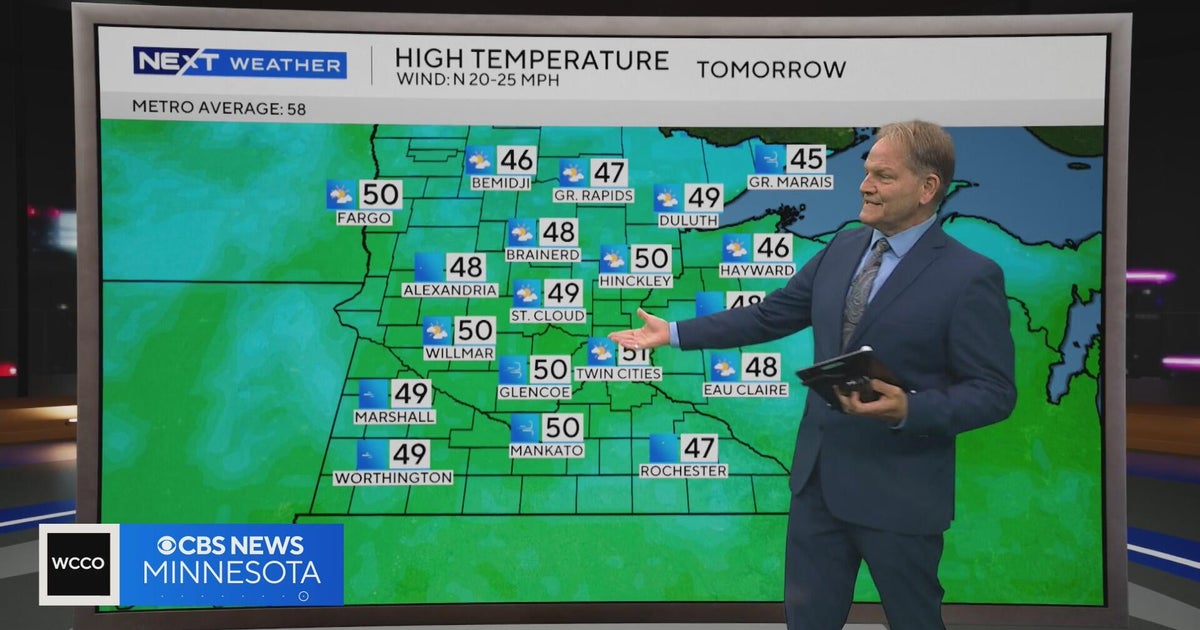 NEXT Weather | 10 p.m. weather report for Oct. 15, 2026
CBS News NEXT Weather | 10 p.m. weather report for Oct. 15, 2026 NEXT Weather | 6 p.m. weather report for Oct. 15, 2026 Summit Brewing Company announces a new lender has taken over its loans Minnesota man dies after…
-
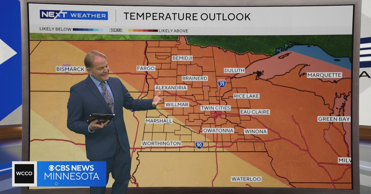 NEXT Weather | 6 p.m. weather report for Oct. 15, 2026
CBS News NEXT Weather | 6 p.m. weather report for Oct. 15, 2026 NEXT Weather: 5 p.m. report on Oct. 15, 2026 Minnesota bishop keeps faith through lung cancer diagnosis Small Minnesota school mourns deaths of 3 current…
-
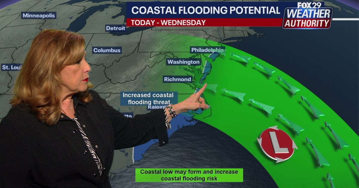 Coastal flooding threat looms for New Jersey, Delaware as nor'easter develops offshore
A developing nor'easter off the Carolina coast is expected to stay offshore but will still bring high winds, heavy surf, and possible coastal flooding along the Jersey Shore and Delaware beaches this week. PHILADELPHIA…
-
 Quiet weather for NJ this week, but an angry ocean along the Jersey Shore
A Coastal Flood Advisory has been issued for tidal waterways along the Jersey Shore starting Tuesday, as 2+ feet of surge could cause minor category flooding at high tide. The surf will become quite rough this week too…
-
 Another Nor’easter Is Brewing Off the Coast. Here’s What It Means for the Jersey Shore This Week.
If you thought the nor’easter from last month had us covered for a while, think again. There’s another storm forming off the coast. Here’s what you should know. The good news: this storm is not expected to follow the…
-
 Another nor'easter could soon be dumping on the Jersey Shore
Just a few weeks after the Jersey Shore was hammered by a nor'easter, another coastal storm is on the way to mid-Atlantic states this week, including parts of coastal South Jersey, bringing gusty winds, beach erosion…
-
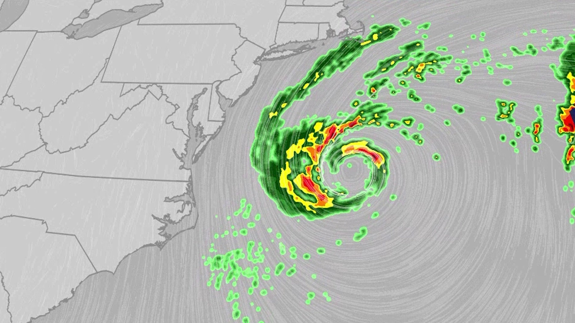 Nor'easter lashes coast from Carolinas to Northeast
An October nor'easter is meandering off the Atlantic coast, where it will bring high surf, rip currents, coastal flooding and winds to parts of the East Coast for several days this week. The National Hurricane Center…
-
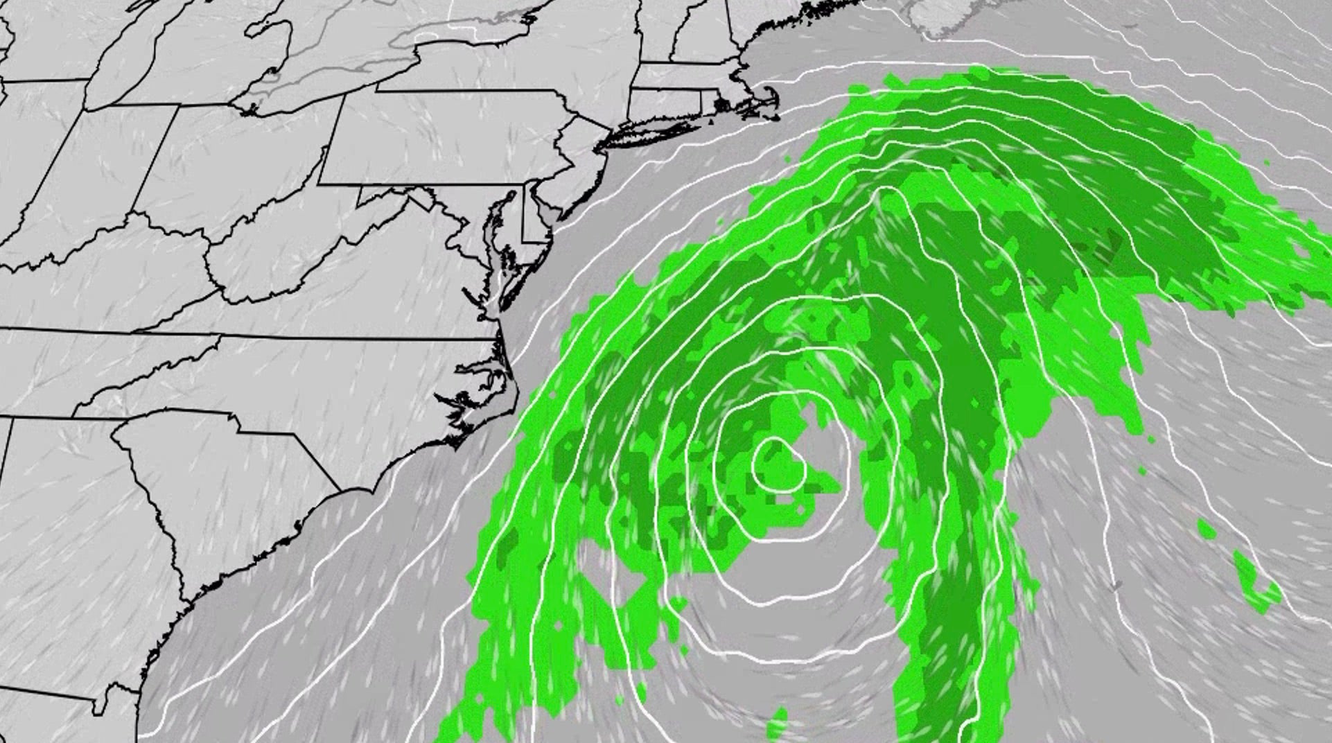 Nor'easter to churn up dangerous conditions for the East Coast
An October nor'easter is developing in the Atlantic, where it will bring high surf, rip currents, coastal flooding and winds to parts of the East Coast for several days this week. The National Hurricane Center has…
-
 Nor'easter On Collision Course With NJ: Latest Forecast
Gusty winds and multiple rounds of coastal flooding are in store for New Jersey this week as a nor'easter approaches, the National Weather Service said. According to the latest weather forecast, north to northeast winds…
-
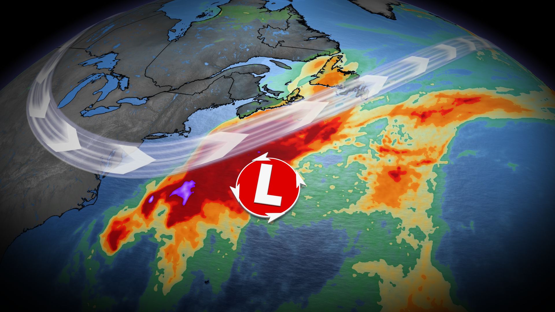 U.S. East Coast bracing for nor'easter this week. Will Canada be impacted?
A comprehensive look at a developing nor'easter this week, including its potential for significant wind and rainfall for parts of Atlantic Canada Atlantic Canada may be in for a rough middle of the or late week, with…
Sun & moon
Nearby
- Saint Helier 7 km
- Cherbourg 58 km
- Équeurdreville-Hainneville 57 km
- Octeville 55 km
- Saint Peter Port 37 km
- Coutances 55 km
- Vale Parish 39 km
- Saint Sampson 38 km
- Valognes 57 km
- Querqueville 57 km
- St Lawrence 3 km
- La Glacerie 57 km
Forecasts, observations and alerts in the United States come from the National Weather Service (NOAA); radar from NOAA's Multi-Radar Multi-Sensor system; satellite imagery from NASA's Global Imagery Browse Services (GIBS) and NOAA's GOES satellites; the map from the U.S. Geological Survey's National Map; air quality from AirNow (EPA and its partners); hurricane information from the National Hurricane Center; climate normals and records from NOAA's Regional Climate Centers (ACIS). Forecasts outside the United States and the UV index: MET Norway (CC BY 4.0); observations outside the U.S.: airport reports via NOAA's Aviation Weather Center. Place names: GeoNames (CC BY 4.0). Data are copied on a schedule and may lag the sources; for warnings that affect your safety, follow your local National Weather Service office and emergency officials. Weather news is drawn from the 4Conservative index and reflects what the press published. Terms of use.