Install
Shrīrangapattana, Karnataka, India Weather
Current conditions
Forecast for this hour (no station report in the last two hours)
Forecast
10-day-
Monday
Partly cloudy. High 29°.
-
Monday Night
Partly cloudy. Low 20°.
-
Tuesday
Partly cloudy. High 28°.
MET Norway forecast updated 4 hrs ago.
Hourly
Hourly forecast- Now20°
- 05:3020°
- 06:3020°
- 07:3021°
- 08:3024°
- 09:3025°
- 10:3026°
- 11:3027°
- 12:3028°
- 13:3028°
- 14:3029°
- 15:3028°
- 16:3028°
- 17:3026°
- 18:3024°
- 19:3023°
- 20:3022°
- 21:3022°
- 22:3021°
- 23:3021°
- Tue00:3021°
- 01:3020°
- 02:3020°
- 03:3019°
Daily forecast
DetailsRadar
Full mapWeather news near Shrīrangapattana
More weather news-
 Rain likely to lash Mysuru till Oct. 30
Mysuru: A low-pressure system over the Bay of Bengal is likely to intensify into a deep depression by Oct. 25 and could develop into a cyclonic storm by the morning of Oct. 26. Mysuru and surrounding regions are likely…
-
 Bengaluru weather today: IMD predicts light to moderate rainfall in parts of city
Light to moderate rain accompanied by thundershowers is likely at isolated locations of North Interior Karnataka, including in Dharwad, Gadag and Haveri districts on today. Bengaluru: Parts of Bengaluru may witness…
- Bengaluru Faces Two-Day Wet Spell as Twin Systems Intensify
Bengaluru and adjoining districts of south-interior Karnataka are likely to receive fairly widespread rain until Tuesday as two weather systems over the Arabian Sea and Bay of Bengal intensify, according to the India…
-
 Twin weather systems could bring in rain till Tuesday in Bengaluru
The Times of India Bengaluru: With twin weather systems intensifying over Arabian Sea and Bay of Bengal, Bengaluru and adjoining districts of south-interior Karnataka are likely to receive fairly widespread rain until…
- Bengaluru Rains Disrupt Traffic as IMD Forecasts Six More Wet Days
Bengaluru experienced intense rain across several neighbourhoods on Thursday, causing waterlogging and traffic disruption as the India Meteorological Department forecast light to moderate showers across the city for the…
-
 The UAE Has A New Health Plan To Protect You From Extreme Heat, Dust Storms & Bad AQI Days
10 Chopstick Rules In Japan That Could Save… Coffee, Desserts & Mindful Indulgence: Harsh Kedia AKA… Why Do Kids Go Trick-Or-Treating On Halloween? The… Exclusive: We Unpacked IKEA India’s Food Playbook &… 10 Diwali…
-
 NCM Predicts Thunderstorms Across Several Regions Of Saudi Arabia Until October 28th
Why Do Kids Go Trick-Or-Treating On Halloween? The… Exclusive: We Unpacked IKEA India’s Food Playbook &… If Your Idea Of Goa Is Sun, Sand… Al Baleed Culinary Festival Returns To Al Baleed… Halloween 2026: 5 Cities…
-
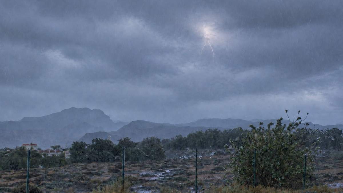 UAE Braces For Unsettled Weather As Ministry Warns Of Hail & Thunderstorms
Why Do Kids Go Trick-Or-Treating On Halloween? The… Exclusive: We Unpacked IKEA India’s Food Playbook &… If Your Idea Of Goa Is Sun, Sand… Al Baleed Culinary Festival Returns To Al Baleed… Halloween 2026: 5 Cities…
-
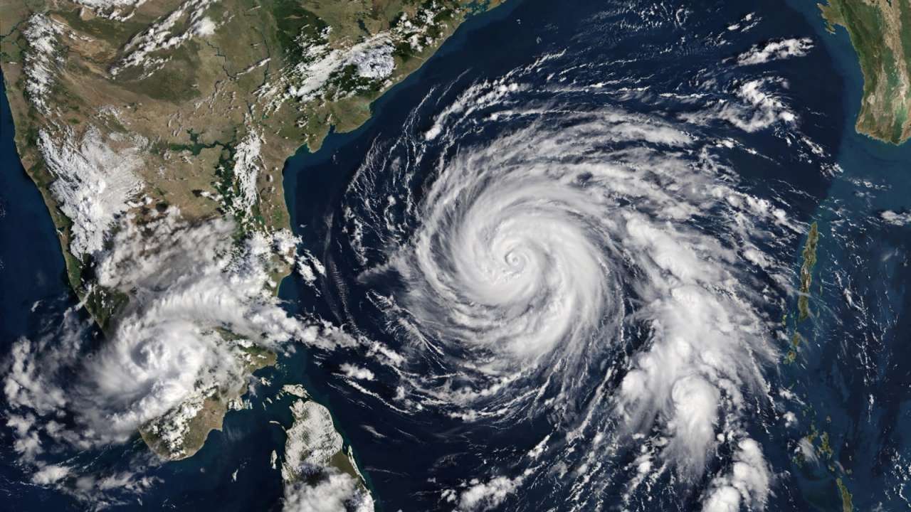 IMD forecasts cyclone over Bay of Bengal, warns of heavy rain across southern India
A possible cyclone over the Bay of Bengal has put several coastal states on alert, with Tamil Nadu expected to witness heavy rainfall in the coming days first. Updated : Oct 24, 2026, 10:06 PM IST The India…
-
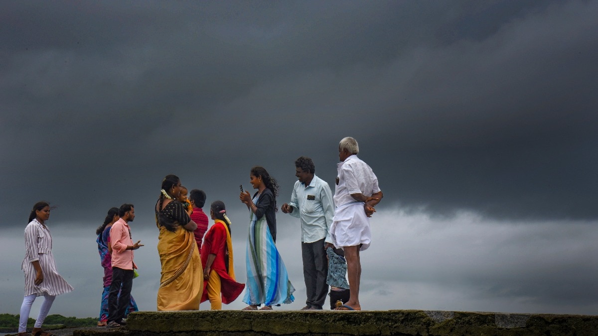 Heavy rain to hit South India on Sunday, Bay system to pick up pace
Heavy to extremely heavy rainfall is likely in parts of south India on Sunday, October 25, as a weather system over the Bay of Bengal is expected to intensify further, according to the India Meteorological Department…
Sun & moon
Nearby
- Mysuru 15 km
- Mandya 26 km
- Kollegāl 55 km
- Hunsūr 45 km
- Nanjangūd 34 km
- Malavalli 41 km
- Krishnarājāsāgara 33 km
- Maddūr 43 km
- Krishnarājpet 34 km
- Bannūr 22 km
- Hinakallu 14 km
- French Rocks 9 km
Forecasts, observations and alerts in the United States come from the National Weather Service (NOAA); radar from NOAA's Multi-Radar Multi-Sensor system; satellite imagery from NASA's Global Imagery Browse Services (GIBS) and NOAA's GOES satellites; the map from the U.S. Geological Survey's National Map; air quality from AirNow (EPA and its partners); hurricane information from the National Hurricane Center; climate normals and records from NOAA's Regional Climate Centers (ACIS). Forecasts outside the United States and the UV index: MET Norway (CC BY 4.0); observations outside the U.S.: airport reports via NOAA's Aviation Weather Center. Place names: GeoNames (CC BY 4.0). Data are copied on a schedule and may lag the sources; for warnings that affect your safety, follow your local National Weather Service office and emergency officials. Weather news is drawn from the 4Conservative index and reflects what the press published. Terms of use. How to use Weather