Install
Awantipur, Jammu and Kashmir, India Weather
Current conditions
Forecast for this hour (no station report in the last two hours)
Forecast
10-day-
Sunday
Light showers. High 18°. Precipitation 0.2 mm for the day.
-
Sunday Night
Mostly clear. Low 5°. Precipitation 0.2 mm for the day.
-
Monday
Fog. High 18°.
MET Norway forecast updated 16 hrs ago.
Hourly
Hourly forecast- Now6°
- 04:306°
- 05:305°
- 06:305°
- 07:306°
- 08:308°
- 09:3011°
- 10:3014°
- 11:3016°
- 12:3017°
- 13:3018°
- 14:3017°0.2
- 15:3017°
- 16:3016°
- 17:3013°
- 18:3012°
- 19:3011°
- 20:3010°
- 21:309°
- 22:309°
- 23:308°
- Mon00:308°
- 01:307°
- 02:306°
Daily forecast
DetailsRadar
Full mapWeather news near Awantipur
More weather news-
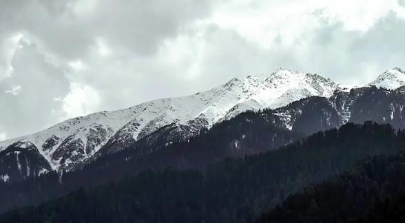 Another spell of rain, snowfall likely in J&K on October 24: MeT
Kashmir News Service Tuesday, October 20, 2026 Another spell of rain, snowfall likely in J&K on October 24: MeT Dry weather to prevail till Oct 23; thunderstorms, gusty winds likely from late Oct 23 night Srinagar, Oct…
-
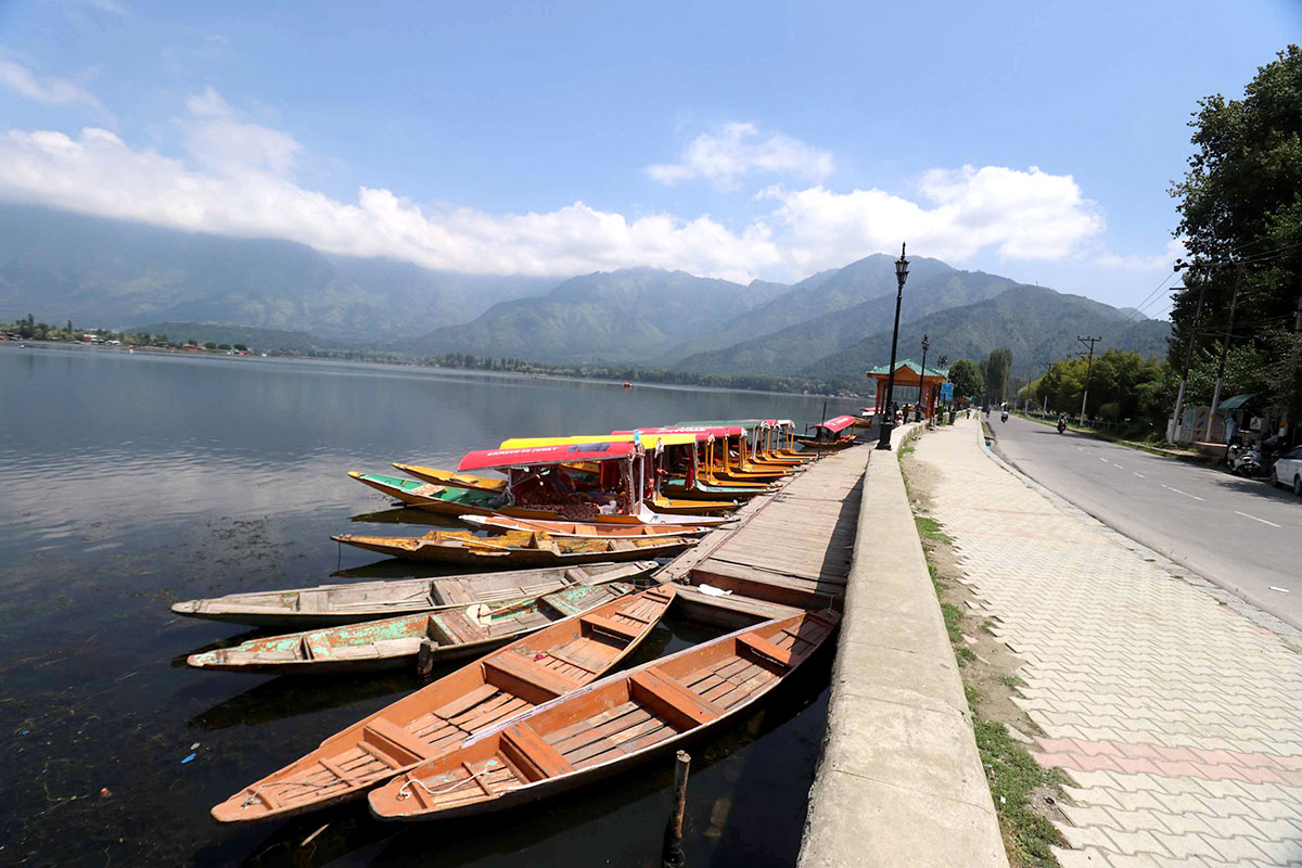 Dry Weather to Continue Across Jammu Kashmir Until October 23
SRINAGAR: Weather conditions across Jammu and Kashmir are expected to remain mainly dry until the evening of October 23, with light rain and snowfall forecast at some places on October 24 and 25, the Meteorological…
-
 Dry weather likely in J&K till Oct 23, rain and snow forecast for Oct 24–25
Srinagar, Oct 18: The Meteorological Centre Srinagar has forecast mainly dry weather across Jammu and Kashmir till the evening of October 23, with light rain and snowfall over higher reaches likely at a few places on…
- IMD Weather Today, October 18: Sunny Skies In North India, Heavy Rain Alerts In South; Check City-Wise Forecast Before Stepping Out
IMD Weather Today, October 18, 2026: The nation is going through a weather switch. As we are all setting the time for winter, there is still a little rain left. India is expected to experience contrasting weather…
-
 Fresh Snowfall At Zojila Pass In Photos: Tourists Enjoy Snow, Army Keeps Vigil
Outlook India Fresh snowfall near Zojila Pass along the Srinagar-Leh National Highway draws tourists to the snow-covered landscape, as Army personnel maintain a vigil in Jammu and Kashmir CBI Questions Ex-BJP MLA Suresh…
-
 Weather Update: Light Rain Possible at Few Places in J&K Today
Srinagar, Oct 17: Weather is expected to remain mainly dry across Jammu and Kashmir over the next several days, with light rain likely at a few places on Octo Srinagar, Oct 17: Weather is expected to remain mainly dry…
-
 Dry Weather in Kashmir to Continue till October 24: MeT
Srinagar- Weather across Jammu and Kashmir is likely to remain generally dry until October 24, while light rain and snowfall over higher reaches are expected from October 25 to 27, the Meteorological Centre Srinagar…
-
 MeT Forecasts Dry Weather in Jammu Kashmir Till October 24
SRINAGAR: Jammu and Kashmir is likely to experience mainly dry weather until late afternoon on October 24, with light rain and snowfall over higher reaches expected at scattered places from October 24 to 25, the…
-
 Kashmir apple growers accelerate harvest ahead of bad weather
Apple growers in Kashmir, India, are accelerating harvesting operations ahead of forecast rain, gusty winds, and possible hail. Growers are hiring additional labour and extending working hours to collect the remaining…
- J&K to Witness Dry Weather Till Oct 24, Light Rain, Snow Likely From Oct 25
Srinagar, Oct 16: The Meteorological Department Srinagar has forecast generally dry weather across Jammu and Kashmir till October 24, with light rain and snowfall over higher reaches possible at scattered places from…
Sun & moon
Nearby
Forecasts, observations and alerts in the United States come from the National Weather Service (NOAA); radar from NOAA's Multi-Radar Multi-Sensor system; satellite imagery from NASA's Global Imagery Browse Services (GIBS) and NOAA's GOES satellites; the map from the U.S. Geological Survey's National Map; air quality from AirNow (EPA and its partners); hurricane information from the National Hurricane Center; climate normals and records from NOAA's Regional Climate Centers (ACIS). Forecasts outside the United States and the UV index: MET Norway (CC BY 4.0); observations outside the U.S.: airport reports via NOAA's Aviation Weather Center. Place names: GeoNames (CC BY 4.0). Data are copied on a schedule and may lag the sources; for warnings that affect your safety, follow your local National Weather Service office and emergency officials. Weather news is drawn from the 4Conservative index and reflects what the press published. Terms of use.