Install
Anantnag, Jammu and Kashmir, India Weather
Current conditions
Forecast for this hour (no station report in the last two hours)
Forecast
10-day-
Saturday
Showers. High 15°. Precipitation 1.7 mm for the day.
-
Saturday Night
Light showers. Low 6°. Precipitation 1.7 mm for the day.
-
Sunday
Fog. High 18°.
MET Norway forecast updated 19 hrs ago.
Hourly
Hourly forecast- Now10°
- 20:309°
- 21:308°
- 22:307°
- 23:306°
- Sun00:305°
- 01:305°
- 02:305°
- 03:305°
- 04:305°
- 05:304°
- 06:304°
- 07:306°
- 08:309°
- 09:3011°
- 10:3013°
- 11:3015°
- 12:3016°
- 13:3017°
- 14:3018°
- 15:3017°
- 16:3016°
- 17:3013°
- 18:3011°
Daily forecast
DetailsRadar
Full mapWeather news near Anantnag
More weather news-
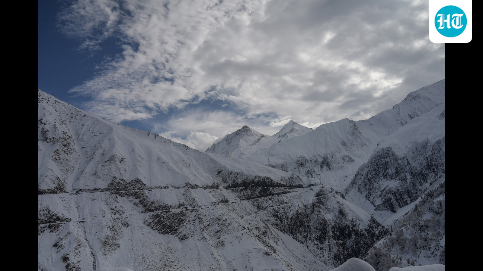 Rain lashes parts of J&K
Rain lashed several plain areas of Jammu and Kashmir on Thursday, while the higher reaches of the Kashmir valley remained draped in white after fresh overnight snowfall, prompting the authorities to press men and…
-
 Rain, Snow Lash J&K; Mughal Road Closed, Temperatures Dip
Srinagar- Rain lashed several parts of Jammu and Kashmir on Thursday, while higher reaches of the Kashmir Valley received fresh snowfall for the third consecutive night, bringing down temperatures and disrupting road…
- Peer Ki Gali, Sinthan Top, Gurez receive season’s Ist snowfall
Power supply remains hit for 7-8 hrs JAMMU/ SRINAGAR, Oct 15: Higher reaches of Kashmir and Jammu regions including Peer Ki Gali in Poonch, Sinthan Top in Kishtwar and Chatter Galla in Bhaderwah received season’s first…
-
 Rain lashes parts of J&K, higher reaches remain draped in white after fresh snowfall
Srinagar/Jammu, Oct 15 (PTI) Rain lashed several plain areas of Jammu and Kashmir on Thursday, while the higher reaches of the Kashmir Valley remained draped in white after fresh overnight snowfall, prompting the…
-
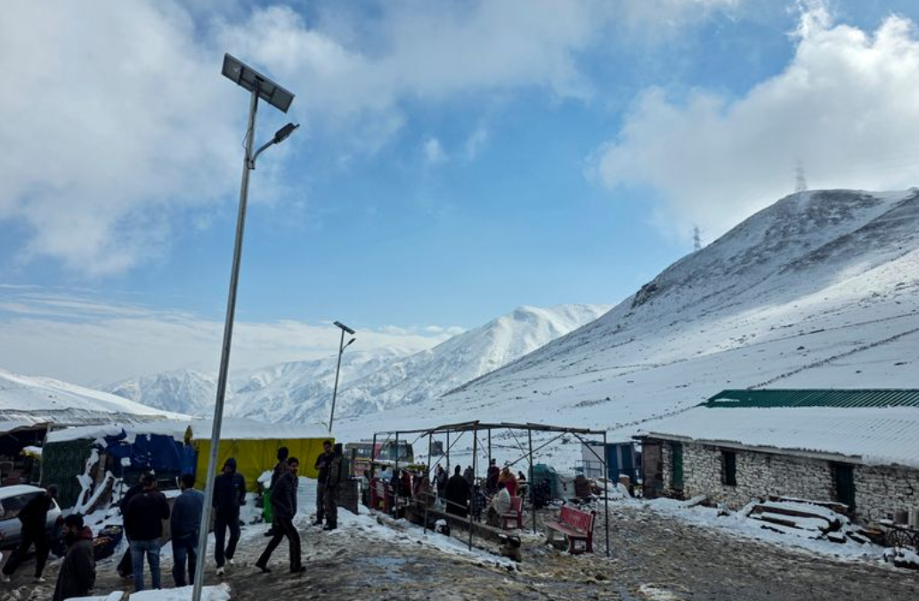 Rain Lashes Jammu and Kashmir, Fresh Snowfall Covers Higher Reaches; Mughal Road Closed
SRINAGAR/JAMMU, Oct 15: Several parts of Jammu and Kashmir received rainfall on Thursday, while fresh overnight snowfall blanketed the higher reaches of the Kashmir Valley, prompting authorities to deploy personnel and…
-
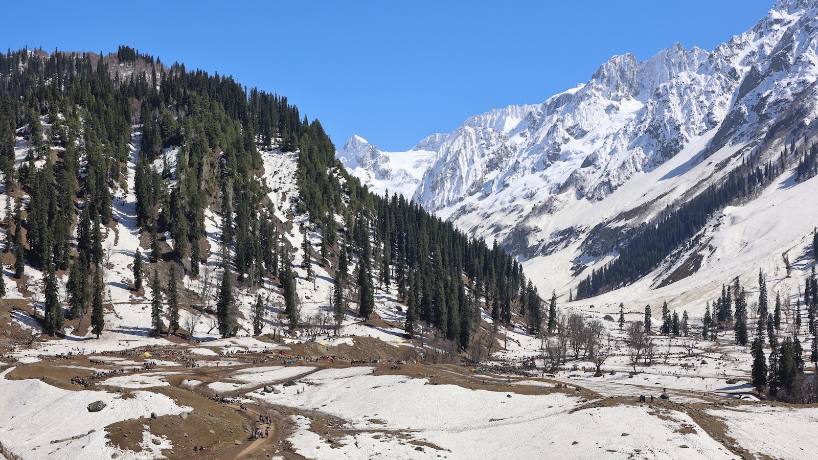 Higher Reaches Of Kashmir Witness Fresh Snowfall Transforming Region Into Winter Wonderland
Several areas in higher reaches of Kashmir were draped in white on October 14 after an active western disturbance brought fresh overnight snowfall, transforming the region into a winter wonderland, according to reports…
- Higher reaches of Kashmir witness fresh overnight snowfall
Srinagar, Oct 14: Several areas in the higher reaches of Kashmir were draped in white on Wednesday morning after an active western disturbance brought fresh overnight snowfall, according to officials The plains were…
-
 Kashmir’s Higher Reaches Receive Fresh Overnight Snowfall
Srinagar- Several areas in the higher reaches of Kashmir were draped in white on Wednesday morning after an active western disturbance brought fresh overnight snowfall, according to officials. The plains were lashed by…
-
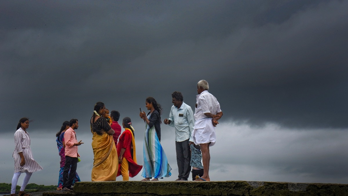 Heavy rain to hit South India on Sunday, Bay system to pick up pace
Heavy to extremely heavy rainfall is likely in parts of south India on Sunday, October 25, as a weather system over the Bay of Bengal is expected to intensify further, according to the India Meteorological Department…
-
 India Weather Tomorrow (October 24): IMD Predicts Heavy Rain, Thunderstorms in Several States; Check Forecast & Latest Update
The India Meteorological Department (IMD) is forecasting heavy rainfall in several southern states and island regions, while parts of northwest India may also experience showers. The post India Weather Tomorrow (October…
Sun & moon
Nearby
Forecasts, observations and alerts in the United States come from the National Weather Service (NOAA); radar from NOAA's Multi-Radar Multi-Sensor system; satellite imagery from NASA's Global Imagery Browse Services (GIBS) and NOAA's GOES satellites; the map from the U.S. Geological Survey's National Map; air quality from AirNow (EPA and its partners); hurricane information from the National Hurricane Center; climate normals and records from NOAA's Regional Climate Centers (ACIS). Forecasts outside the United States and the UV index: MET Norway (CC BY 4.0); observations outside the U.S.: airport reports via NOAA's Aviation Weather Center. Place names: GeoNames (CC BY 4.0). Data are copied on a schedule and may lag the sources; for warnings that affect your safety, follow your local National Weather Service office and emergency officials. Weather news is drawn from the 4Conservative index and reflects what the press published. Terms of use.