Install
Perranporth, England, United Kingdom Weather
Current conditions
Observed at Newquay/Cornwall Arpt · 40 min ago
Forecast
10-day-
Friday Night
Rain. Low 11°. Precipitation 1.5 mm for the day.
-
Saturday
Heavy rain. High 15°. Precipitation 24.3 mm for the day.
-
Saturday Night
Heavy rain. Low 11°. Precipitation 24.3 mm for the day.
MET Norway forecast updated 3 hrs ago.
Hourly
Hourly forecast- Now12°
- 22:0012°0.2
- 23:0011°0.7
- Sat00:0011°0.2
- 01:0011°
- 02:0012°
- 03:0012°
- 04:0012°
- 05:0012°0.5
- 06:0011°1.1
- 07:0011°1.6
- 08:0011°1.7
- 09:0011°1.5
- 10:0012°1.7
- 11:0012°2.3
- 12:0013°3.8
- 13:0013°1.4
- 14:0014°1.4
- 15:0015°1.5
- 16:0015°0.5
- 17:0015°0.4
- 18:0015°0.5
- 19:0015°2.2
- 20:0015°0.7
10-day forecast
DetailsRadar
Full mapWeather news near Perranporth
More weather news-
 Storm Austen to batter UK in HOURS with 80mph winds and heavy rain as danger to life warnings in place
BRITS are bracing themselves ahead of Storm Austen’s arrival as heavy rain and 80mph gusts are set to batter the country from tonight. Amber and yellow weather warnings for wind and “persistent” rain are covering large…
-
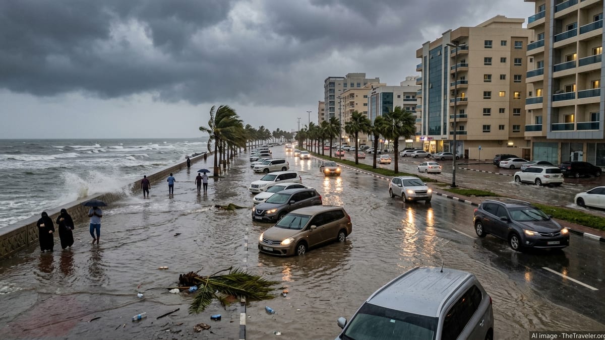 Storm Austen lashes UK as yellow wind warning widens
Storm Austen, the UK’s first named storm of the season, is bringing 80 mph gusts, travel disruption and a broad yellow wind warning across large areas. Storm Austen, the first named storm of the 2026–27 windstorm…
- Trains cancelled amid amber wind warning and 80mph gust threat
Network Rail has announced railway closures, beginning on Saturday night, as two storms are expected to bring disruption across the country this weekend. The Met Office has issued several amber warnings for wind across…
-
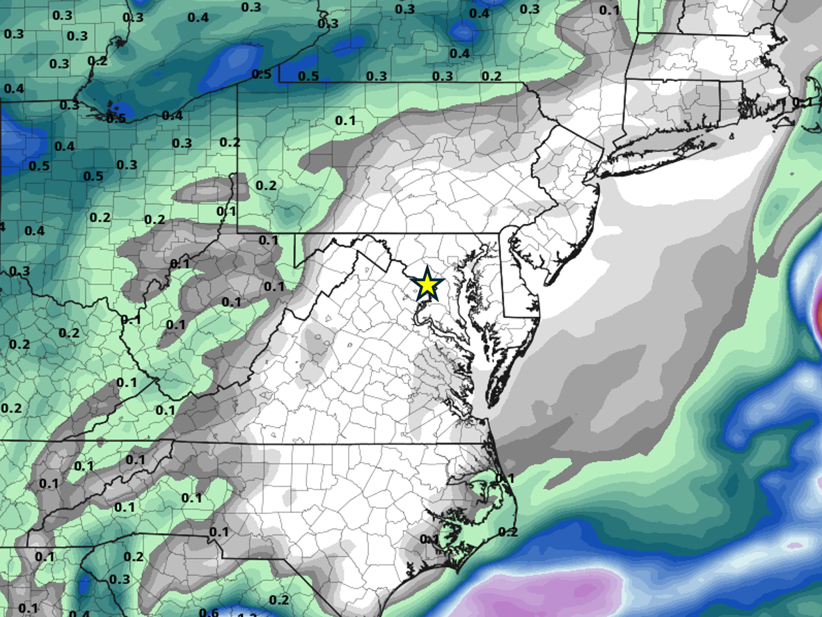 When will it rain in the DC area again?
Probably not for a while. All the major weather models show no precipitation anywhere close to the DC area through at least the end of the month, thanks to high pressure remaining locked in place most of the time. Of…
-
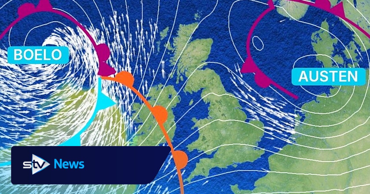 Storm Boloe: When and where will it hit Scotland?
Thursday, October 22nd, 2026 The second named storm of the season follows Storm Austen and could see gusts of 80mph Storm Austen, our first named storm of the current storm season, will arrive from the southwest of the…
-
 Storm Boelo to batter 53 UK areas with strong winds as yellow warning issued
Storm Boelo is set to batter 53 parts of the United Kingdom over the weekend, prompting the Met Office to issue a yellow weather warning. The latest named storm will hit Northern Ireland, Scotland and areas of northern…
-
 Storm Austen Amber Alert Puts UK Travel on High Alert
Storm Austen is forecast to bring 80mph gusts, heavy rain and widespread disruption across southern UK, with rail, road, air and ferry travel already being adjusted. Storm Austen, the first named storm of the 2026–27…
-
 El Niño UK Weather: How This Year’s ‘Off The Charts’ Phenomenon Could Trigger Severe Cold Snaps And Stormy Winters
Zaini is Editor at The Sunday Guardian. She focuses on geopolitics, defence, international affairs, and breaking news coverage. She has worked in fast-paced newsrooms, including WION, Republic Media Network, India Today…
-
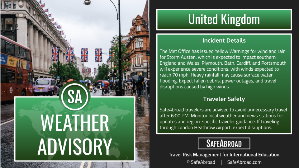 Storm Austen will produce heavy rainfall and strong winds from October 22-23 across the United Kingdom; expect travel delays.
SafeAbroad Incident Details The Met Office has issued Yellow Warnings for wind and rain for Storm Austen, which is expected to impact southern England and Wales Plymouth, Bath, Cardiff, and Portsmouth will experience…
-
 Storm Austen: UK rail passengers warned of 80mph winds
Storm Austen is forecast to bring 80mph gusts, heavy rain and widespread disruption to rail services across southern and western UK on Thursday night and Friday. Rail passengers across parts of the United Kingdom are…
Sun & moon
Nearby
Forecasts, observations and alerts in the United States come from the National Weather Service (NOAA); radar from NOAA's Multi-Radar Multi-Sensor system; satellite imagery from NASA's Global Imagery Browse Services (GIBS) and NOAA's GOES satellites; the map from the U.S. Geological Survey's National Map; air quality from AirNow (EPA and its partners); hurricane information from the National Hurricane Center; climate normals and records from NOAA's Regional Climate Centers (ACIS). Forecasts outside the United States and the UV index: MET Norway (CC BY 4.0); observations outside the U.S.: airport reports via NOAA's Aviation Weather Center. Place names: GeoNames (CC BY 4.0). Data are copied on a schedule and may lag the sources; for warnings that affect your safety, follow your local National Weather Service office and emergency officials. Weather news is drawn from the 4Conservative index and reflects what the press published. Terms of use.