Install
Mafemani, Mpumalanga, South Africa Weather
Current conditions
Forecast for this hour (no station report in the last two hours)
Forecast
10-day-
Thursday
Sunny. High 37°.
-
Thursday Night
Partly cloudy. Low 20°.
-
Friday
Light rain. High 27°. Precipitation 2.0 mm for the day.
MET Norway forecast updated 16 hrs ago.
Hourly
Hourly forecast- Now21°
- 07:0024°
- 08:0026°
- 09:0027°
- 10:0029°
- 11:0031°
- 12:0032°
- 13:0034°
- 14:0036°
- 15:0037°
- 16:0037°
- 17:0036°
- 18:0032°
- 19:0027°
- 20:0026°
- 21:0025°
- 22:0025°
- 23:0023°
- Fri00:0023°
- 01:0022°
- 02:0020°
- 03:0020°
- 04:0020°
- 05:0019°
Daily forecast
DetailsRadar
Full mapWeather news in South Africa
More weather news-
 South Africa’s Hottest Summer Yet? What A Very Strong El Niño Means For Heatwaves In Gauteng, And How To Stay Safe
South Africans are being told to prepare for a hot, possibly dry summer. The South African Weather Service (SAWS) says above-normal temperatures are “very likely” across the country from now until at least January 2027…
- Why one part of South Africa is sweltering while another is freezing
This is why South Africa can be hot in one province and cold in another. As recent weather shows, South Africans can experience dramatically different weather conditions on the same day, with one province melting in hot…
- Today's weather: Hot, windy, extreme fire danger and rain forecast for Wednesday
Severe storms threaten Durban as emergency teams go on alert South Africa is bracing for a mix of hot, windy and rainy weather on Wednesday, with the South African Weather Service (SAWS) warning of extremely high fire…
-
 Zululanders are urged toplan for hot, dry summer
KZN communities need to prepare for the potential impacts of El Niño, including heatwaves, prolonged dry spells and below-normal rainfall during summer. This warning was given by Cogta MEC Thulasizwe Buthelezi who says…
-
 Wednesday’s coastal tides: What beachgoers and anglers should know
Home » News » Weather » Wednesday’s coastal tides: What beachgoers and anglers should know Heading to the coast on Wednesday? Check high and low tide times across South Africa before planning your beach activities. If…
-
 Weather alert: Scorching heat wave to hit Limpopo until Friday
It is expected to be scorching hot in parts of Limpopo until Friday, as the South African Weather Service (Saws) warns of a heat wave over the Western Bushveld. Meanwhile, conditions are expected to be cloudy and cool…
-
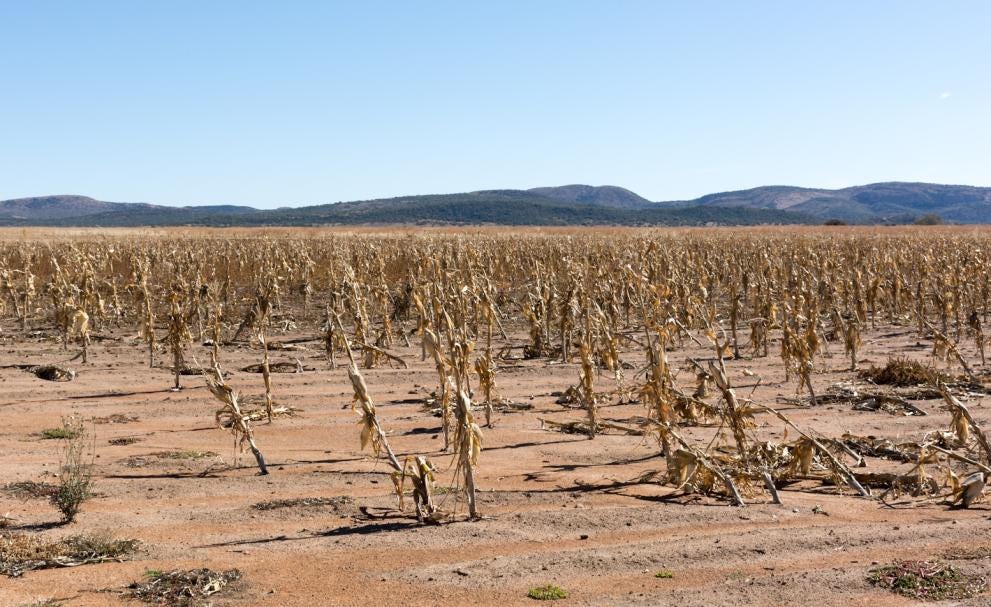 SA Weather Service tells us once more that we have a challenge ahead
We have been saying for some time that the 2026-27 season will be challenging for agriculture in South Africa and the Southern Africa region because of the expected drought. A note that just came into my email from the…
-
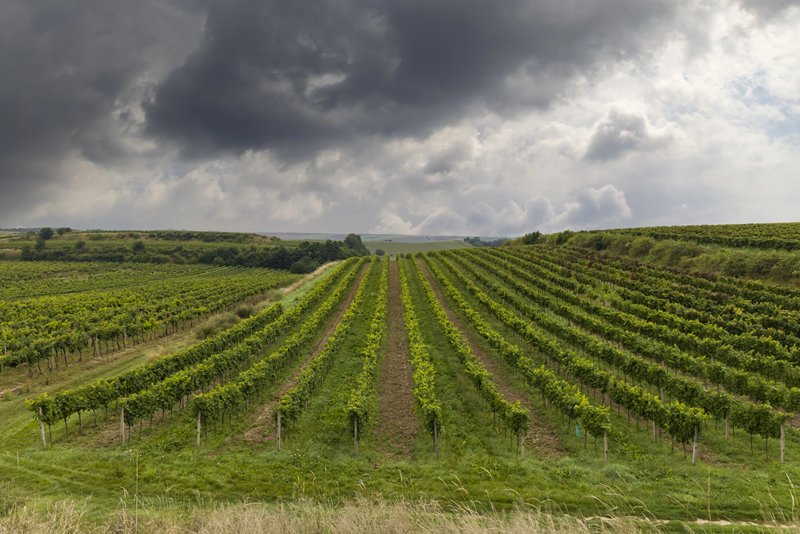 Winemakers worldwide revise vineyard plans after NOAA warns of a powerful El Niño
Wine producers from California to Chile, Australia, and South Africa are adjusting vineyard plans after U.S. forecasters warned that El Niño has returned and could become one of the strongest episodes in decades…
-
 Intense heat hits SA’s neighbour as El Niño concerns grow
Home » News » Weather » Intense heat hits SA’s neighbour as El Niño concerns grow Zimbabwe faces intense heat as El Niño strengthens, while recent heatwaves in South Africa raise concerns about the coming summer…
-
 Southwest Florida Weather Forecast
WINK News Oct. 20, 2026 | 4 a.m. Currently in Fort Myers Hour by Hour Forecast - Sunshine sticks around as cooler temperatures continue across Southwest Florida - Shark kills woman swimming off South Africa's Eastern…
Sun & moon
Nearby
- Mkhuhlu 27 km
- Calcutta 27 km
- Dwarsloop 2 km
- Acornhoek 22 km
- Hlanganani 21 km
- Sabie 46 km
- Thulamahashi 14 km
- Thulamahashe 15 km
- Xikhusese 21 km
- Maboke 9 km
- Bolla-Tau 18 km
- Oakley 22 km
Forecasts, observations and alerts in the United States come from the National Weather Service (NOAA); radar from NOAA's Multi-Radar Multi-Sensor system; satellite imagery from NASA's Global Imagery Browse Services (GIBS) and NOAA's GOES satellites; the map from the U.S. Geological Survey's National Map; air quality from AirNow (EPA and its partners); hurricane information from the National Hurricane Center; climate normals and records from NOAA's Regional Climate Centers (ACIS). Forecasts outside the United States and the UV index: MET Norway (CC BY 4.0); observations outside the U.S.: airport reports via NOAA's Aviation Weather Center. Place names: GeoNames (CC BY 4.0). Data are copied on a schedule and may lag the sources; for warnings that affect your safety, follow your local National Weather Service office and emergency officials. Weather news is drawn from the 4Conservative index and reflects what the press published. Terms of use.