Install
George, Western Cape, South Africa Weather
Current conditions
Observed at George Arpt · 1 hr ago
Forecast
10-day-
Wednesday
Rain. High 22°. Precipitation 1.1 mm for the day.
-
Wednesday Night
Rain. Low 14°. Precipitation 1.1 mm for the day.
-
Thursday
Rain. High 17°. Precipitation 4.9 mm for the day.
MET Norway forecast updated 1 hr ago.
Hourly
Hourly forecast- Now21°
- 10:0022°
- 11:0020°
- 12:0017°
- 13:0017°
- 14:0017°
- 15:0017°0.2
- 16:0016°0.3
- 17:0016°
- 18:0015°
- 19:0015°
- 20:0015°
- 21:0014°
- 22:0014°
- 23:0014°0.3
- Thu00:0014°0.3
- 01:0014°0.4
- 02:0014°
- 03:0014°
- 04:0014°0.5
- 05:0014°0.3
- 06:0014°
- 07:0014°
- 08:0015°
Daily forecast
DetailsRadar
Full mapWeather news near George
More weather news-
 Severe thunderstorm warning upgraded to Yellow Level 4 in KZN
Home » News » Weather » Severe thunderstorm warning upgraded to Yellow Level 4 in KZN SAWS has upgraded its KZN storm warning to Yellow Level 4, with heavy rain, possible hail and lightning threatening flooding and…
-
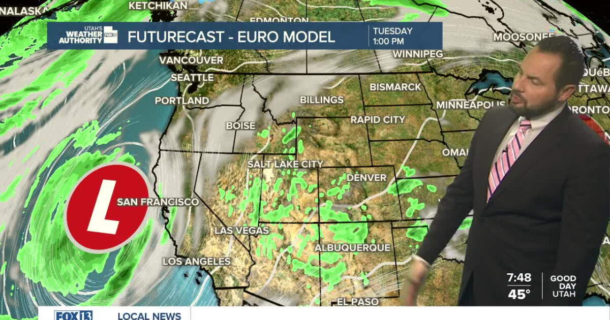 Sunshine returns Sunday up north, with a few showers over southern Utah
SALT LAKE CITY — Happy Sunday, Utah! Ample sunshine returns to northern Utah today, with a chance of a few showers down south. Daytime highs remain in the upper 60s for northern valleys, with a high of 70 degrees…
-
 Strong winds and possible snow forecast for Coquihalla, Okanagan Connector this weekend
Drivers travelling on the Coquihalla Highway and Okanagan Connector this weekend are being warned to prepare for strong winds and possible snow on high-elevation mountain passes. Environment Canada has issued special…
-
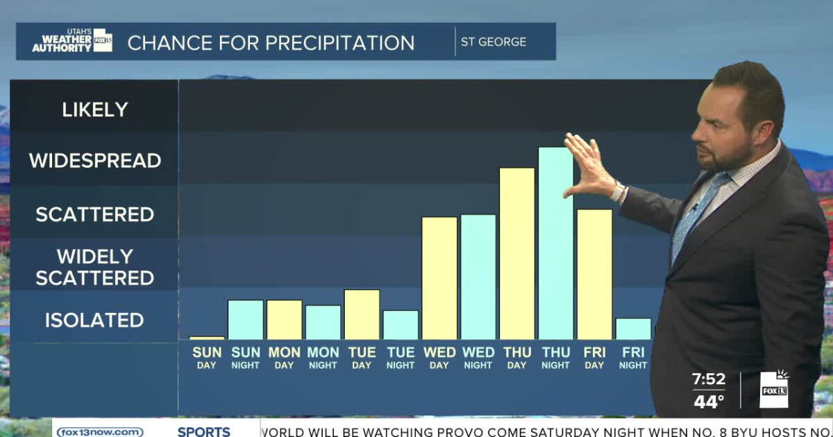 Sunshine this weekend, with increasing showers into next week
FOX 13 News Utah SALT LAKE CITY — Happy Weekend, Utah! It's a calm and dry start to the weekend with near-seasonal temperatures statewide. Daytime highs will reach the upper 60s up in northern Utah, with highs in the…
-
 Environment Canada issues special weather statement for PG
A blustry weekend is on tap for Prince George. Environment Canada has issued a Special Weather Statement for several areas of the province including Prince George, which is expected to begin tomorrow (Saturday). Other…
-
 High winds and rain in the Wreckhouse area
Bay St. George District RCMP is warning drivers (especially those in large or commercial vehicles, including RVs and tractor trailers) of high winds and rain in the Wreckhouse area. While the highway is currently open…
-
 High winds could result in damage across the Gulf Coast Friday and Saturday
Video above: WKRG Weather: Cold Front Brings Windy and Cooler Weekend Weather MOBILE, Ala. (WKRG) — The WKRG News 5 First Alert Storm Team is warning residents across south Mississippi, Alabama, and Northwest Florida of…
-
 Severe thunderstorm watch issued for most of Maryland
A severe thunderstorm watch is in effect until 8 p.m. Friday for the Baltimore-Washington region, according to the National Weather Service. Damaging winds are the main threat, and a brief tornado is possible…
- New weather stations to help Welsh railways prepare for wetter winter
Ten weather stations installed along the Wales and Borders railway will help staff respond to storms amid forecasts of an increased chance of wetter and windier conditions this autumn and winter. Network Rail has…
-
 South Africa’s Hottest Summer Yet? What A Very Strong El Niño Means For Heatwaves In Gauteng, And How To Stay Safe
South Africans are being told to prepare for a hot, possibly dry summer. The South African Weather Service (SAWS) says above-normal temperatures are “very likely” across the country from now until at least January 2027…
Sun & moon
Nearby
- Mossel Bay 38 km
- Oudtshoorn 47 km
- Knysna 55 km
- Groot-Brakrivier 24 km
- Dysselsdorp 43 km
- Sedgefield 32 km
- Wilderness 11 km
- Rheenendal 45 km
- De Rust 53 km
Forecasts, observations and alerts in the United States come from the National Weather Service (NOAA); radar from NOAA's Multi-Radar Multi-Sensor system; satellite imagery from NASA's Global Imagery Browse Services (GIBS) and NOAA's GOES satellites; the map from the U.S. Geological Survey's National Map; air quality from AirNow (EPA and its partners); hurricane information from the National Hurricane Center; climate normals and records from NOAA's Regional Climate Centers (ACIS). Forecasts outside the United States and the UV index: MET Norway (CC BY 4.0); observations outside the U.S.: airport reports via NOAA's Aviation Weather Center. Place names: GeoNames (CC BY 4.0). Data are copied on a schedule and may lag the sources; for warnings that affect your safety, follow your local National Weather Service office and emergency officials. Weather news is drawn from the 4Conservative index and reflects what the press published. Terms of use.