Install
Puerto La Cruz, Anzoátegui, Venezuela Weather
Current conditions
Forecast for this hour (no station report in the last two hours)
Forecast
10-day-
Sunday
Showers. High 32°. Precipitation 1.3 mm for the day.
-
Sunday Night
Partly cloudy. Low 27°. Precipitation 1.3 mm for the day.
-
Monday
Heavy showers. High 33°. Precipitation 5.2 mm for the day.
MET Norway forecast updated 14 hrs ago.
Hourly
Hourly forecast- Now28°
- 23:0027°
- Mon00:0027°
- 01:0027°
- 02:0027°
- 03:0027°
- 04:0026°
- 05:0026°
- 06:0026°
- 07:0027°
- 08:0029°
- 09:0030°
- 10:0032°
- 11:0032°
- 12:0033°2.3
- 13:0031°1.7
- 14:0031°0.9
- 15:0031°0.2
- 16:0030°
- 17:0029°
- 18:0028°
- 19:0028°
- 20:0028°
- 21:0028°
10-day forecast
Details- TodayOct 25Showers1.3 mm27°32°
- MonOct 26Heavy showers5.2 mm26°33°
- TueOct 27Light showers2.3 mm24°31°
- WedOct 28Showers4.8 mm25°31°
- ThuOct 29Showers3.0 mm24°32°
- FriOct 30Showers1.8 mm24°32°
- SatOct 31Showers2.7 mm25°31°
- SunNov 1Light showers1.1 mm24°31°
- MonNov 2Showers1.5 mm25°32°
- TueNov 3Showers5.4 mm25°32°
Radar
Full mapWeather news near Puerto La Cruz
More weather news-
 Clocks go back on 25 October, giving Spain an extra hour of sleep
The change is set out in the Official State Gazette (BOE), which confirms 25 October as the official end date for this year’s summer time period, happening “at three in the morning (two in the morning in the Canary…
-
 Dangerous Freeze Warnings for 7 Counties in New York as Temperatures Plummet
Freeze Warnings take effect tonight across parts of New York, with lows in the upper 20s to around 30 expected from the Hudson Valley to Buffalo. The warnings run into 9 a.m. EDT Sunday. Frost and freeze conditions…
- Spain Rain Alerts: Red Warnings for Barcelona, Valencia
Red rain warnings are affecting Spain’s Mediterranean coast this weekend, with torrential rainfall forecast around Barcelona on Saturday, October 17, followed by the southern Valencia and northern Alicante coasts on…
-
 Dangerous Freeze Watch for Parts of Indiana and Michigan as Temperatures Drop
A Freeze Watch is in effect for northern, east central and southeast Indiana from late Saturday night through Sunday morning, with lows as cold as 31 degrees possible. A Frost Advisory comes first, for parts of northern…
-
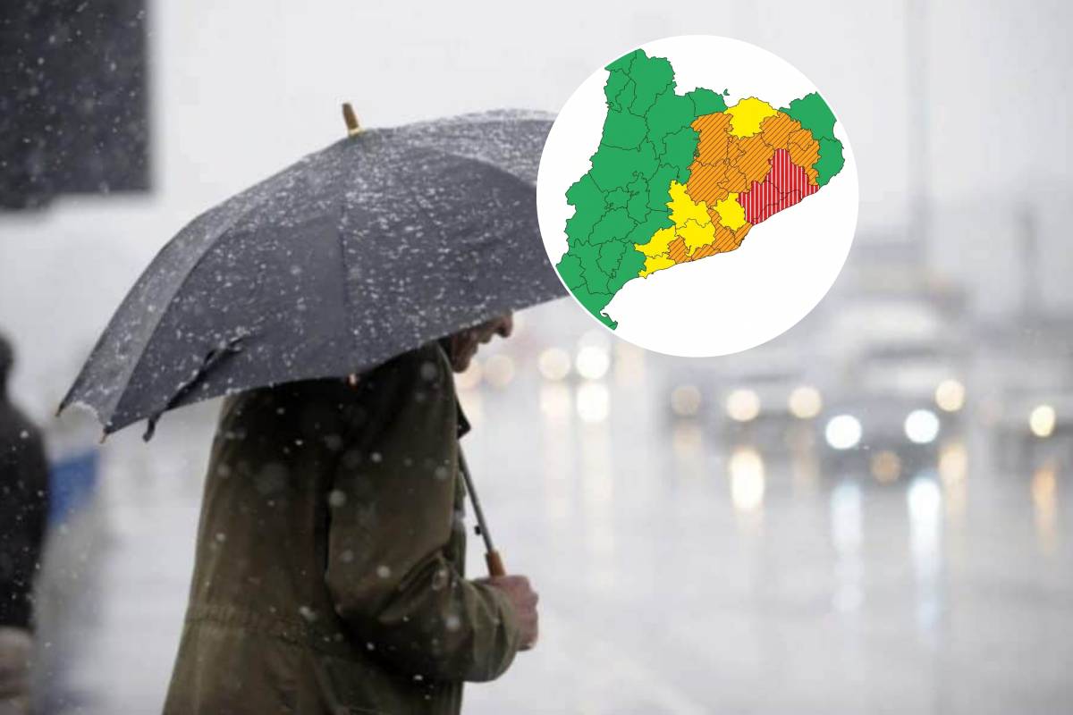 Red Alert in Catalonia Due to the DANA This Weekend: Rainfall of Up to 300 l/m² and Dropping Temperatures on Saturday and Sunday
Civil Protection has activated the Inuncat plan in anticipation of a critical peak early Sunday morning, with more than 40 l/m² in half an hour along the coast and coastal foothills of Barcelona. Barcelona is bracing…
-
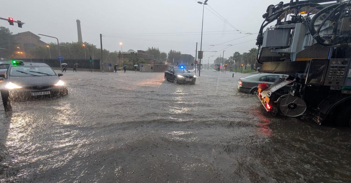 Alert in many regions for heavy rains starting Saturday
The change of weather will come accompanied by a clear cooling of full autumn After many days of calm and weather that is too warm for the time of year, the weather will become complicated this weekend The anticyclone…
-
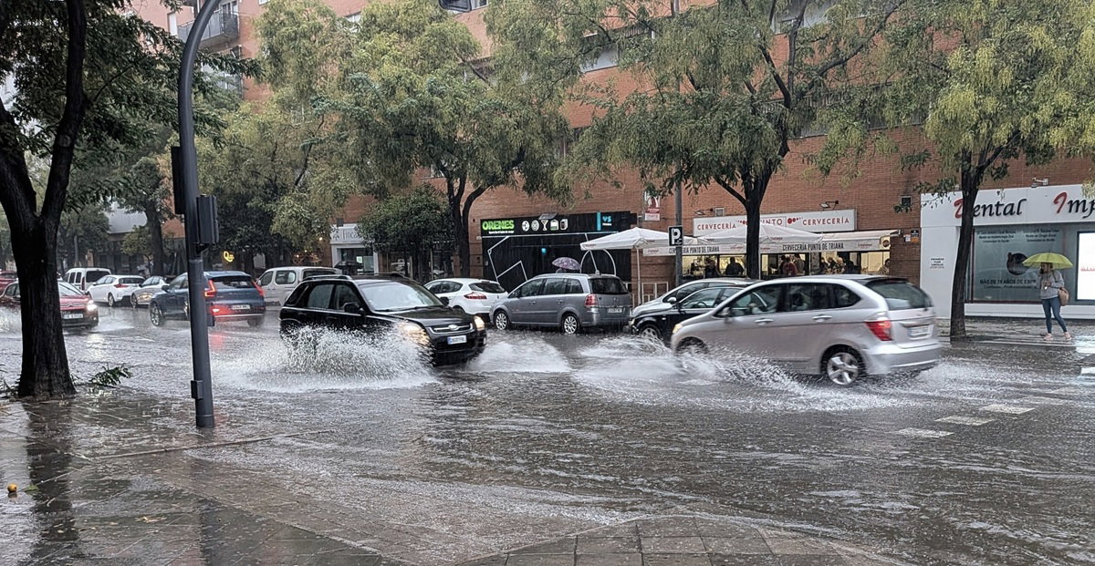 Spain on alert as heavy rain and storms threaten Mediterranean coast this weekend
Heavy rain and storms threaten Spain’s Mediterranean coast this weekend Credit : Pat Moore, Shutterstock Spain is preparing for a dramatic change in the weather this weekend, when heavy rains, storms and a sharp drop in…
-
 Vancouver (BC) Sunshine Hours by Month – Monthly Average
To truly understand a climate, we must look at its sunshine. This page shows the total number of hours of direct sunlight per month and the average hours per day in Vancouver, British Columbia, Canada. The numbers…
Forecasts, observations and alerts in the United States come from the National Weather Service (NOAA); radar from NOAA's Multi-Radar Multi-Sensor system; satellite imagery from NASA's Global Imagery Browse Services (GIBS) and NOAA's GOES satellites; the map from the U.S. Geological Survey's National Map; air quality from AirNow (EPA and its partners); hurricane information from the National Hurricane Center; climate normals and records from NOAA's Regional Climate Centers (ACIS). Forecasts outside the United States and the UV index: MET Norway (CC BY 4.0); observations outside the U.S.: airport reports via NOAA's Aviation Weather Center. Place names: GeoNames (CC BY 4.0). Data are copied on a schedule and may lag the sources; for warnings that affect your safety, follow your local National Weather Service office and emergency officials. Weather news is drawn from the 4Conservative index and reflects what the press published. Terms of use. How to use Weather