Install
Miranda, Carabobo, Venezuela Weather
Current conditions
Forecast for this hour (no station report in the last two hours)
Forecast
10-day-
Wednesday
Heavy rain. High 25°. Precipitation 8.2 mm for the day.
-
Wednesday Night
Rain. Low 21°. Precipitation 8.2 mm for the day.
-
Thursday
Showers. High 27°. Precipitation 2.3 mm for the day.
MET Norway forecast updated 14 hrs ago.
Hourly
Hourly forecast- Now21°
- 22:0021°0.3
- 23:0021°0.8
- Thu00:0021°1.1
- 01:0021°
- 02:0021°
- 03:0021°
- 04:0021°
- 05:0021°
- 06:0021°
- 07:0021°
- 08:0022°
- 09:0023°0.3
- 10:0024°0.2
- 11:0025°0.4
- 12:0026°
- 13:0027°
- 14:0027°0.2
- 15:0027°
- 16:0026°
- 17:0026°
- 18:0024°
- 19:0023°
- 20:0023°
10-day forecast
DetailsRadar
Full mapWeather news near Miranda
More weather news-
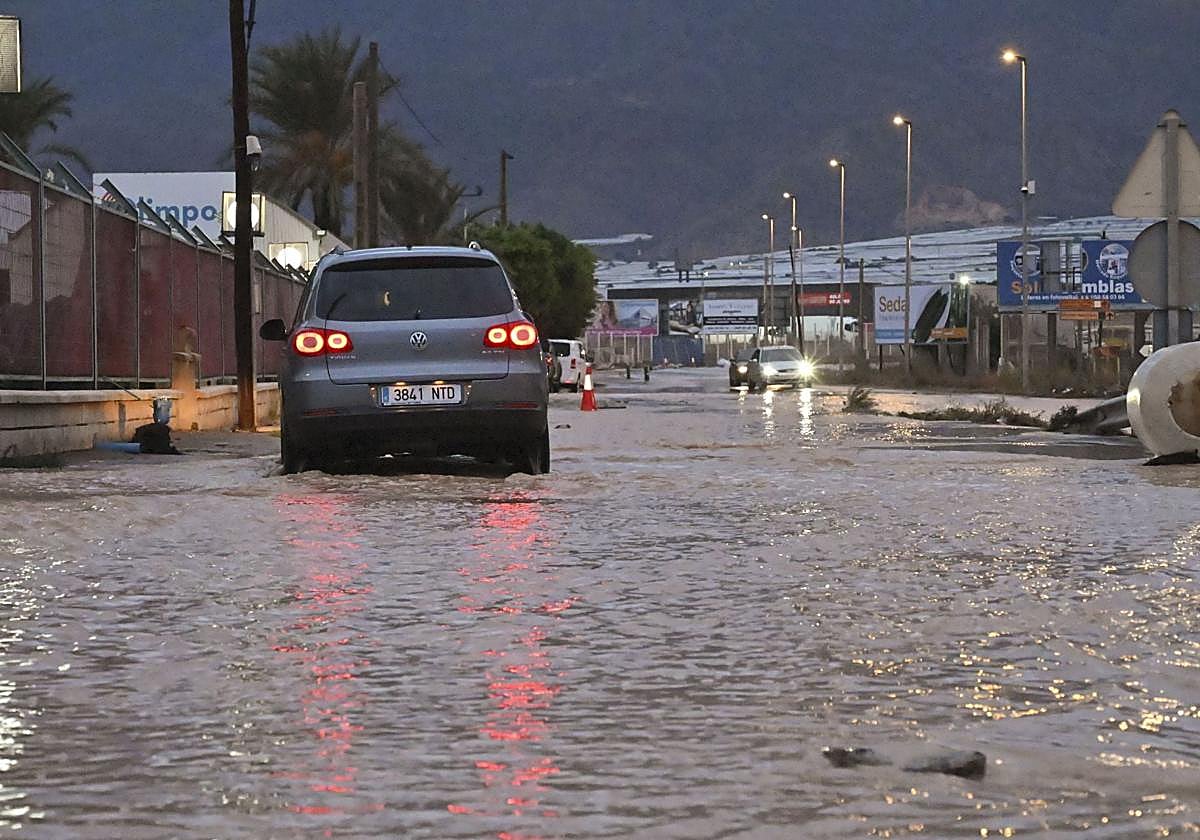 Storm Adam triggers red alert for the south of Valencia and the north of Alicante, with rainfall of up to 400mm
Storm Adam will bring heavy storms, which along the coast southern Valencia and northern Alicante may be torrential and persistent, with localised accumulations of 300–400mm between Sunday and Monday. Furthermore, there…
-
 Exact date Storm Austen will hit UK with 70mph winds as Brits urged to secure bins, trampolines and garden furniture
BRITS are bracing for heavy rain and 70mph gusts as stormy conditions look set to sweep across the UK this week. The Met Office has issued a yellow wind warning covering 38 areas of England and Wales for Friday. Here’s…
-
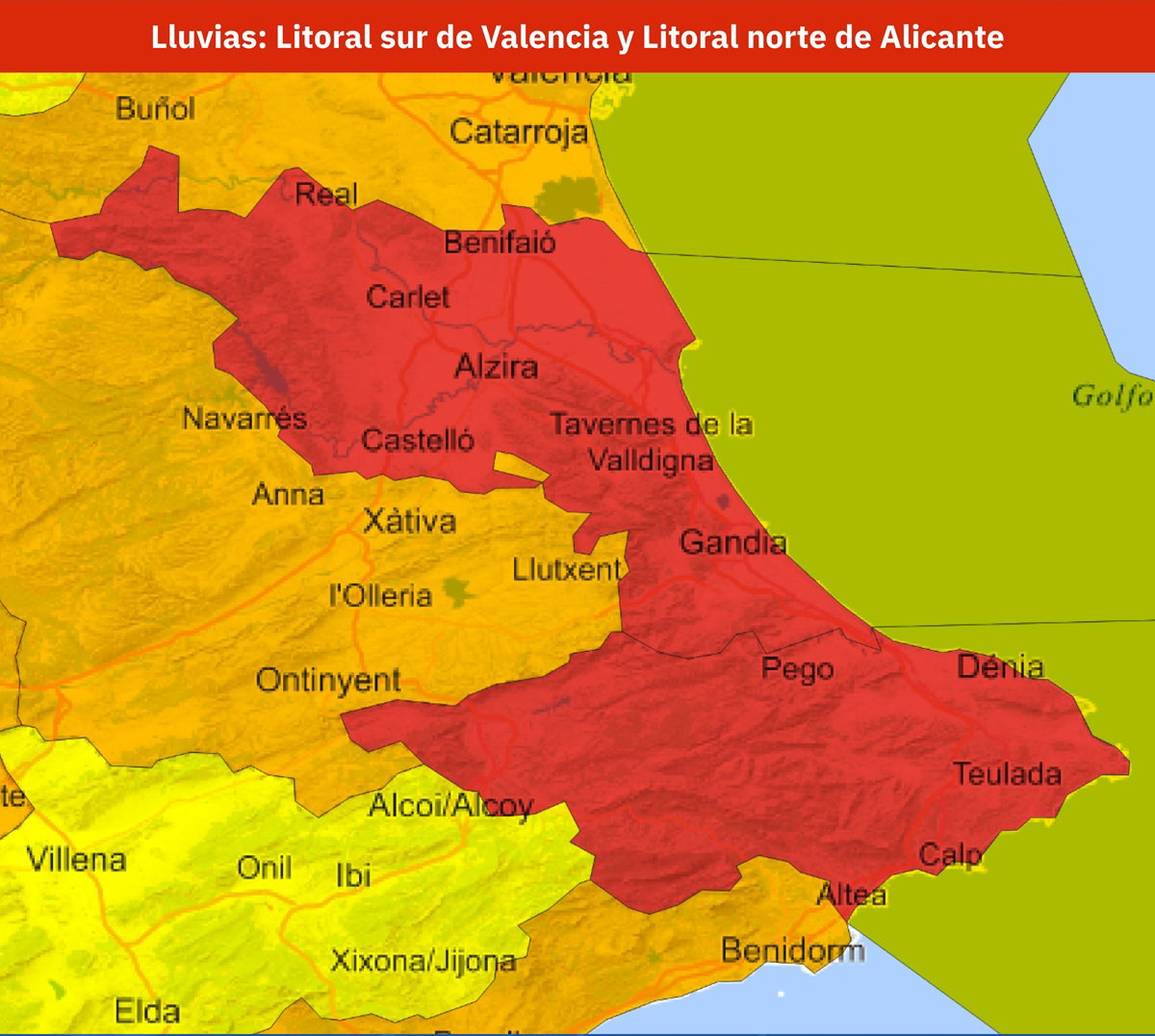 Spain issues red weather alert as up to 300mm of rain threatens Valencia and Alicante
AEMET has issued a red weather alert for parts of Valencia and Alicante, with rainfall potentially reaching 300mm in 24 hours. Credit: X- AEMET The warning is for the southern coast of Valencia province and the north…
- Spain Rain Alerts: Red Warnings for Barcelona, Valencia
Red rain warnings are affecting Spain’s Mediterranean coast this weekend, with torrential rainfall forecast around Barcelona on Saturday, October 17, followed by the southern Valencia and northern Alicante coasts on…
-
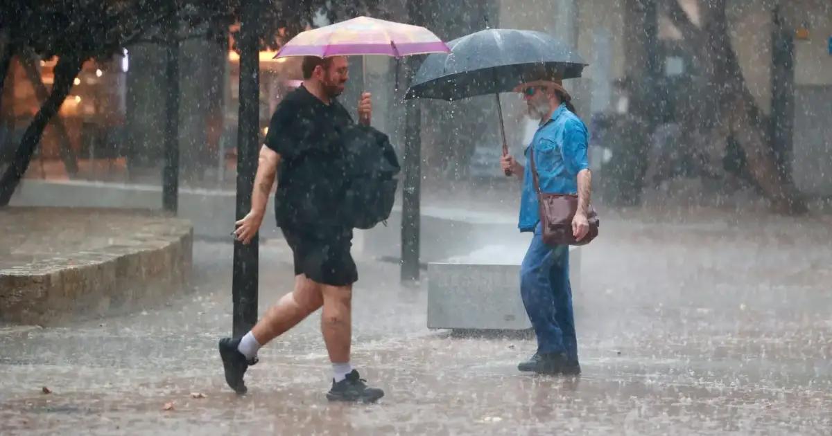 Mallorca weather for Sunday, October 18 - Rain/thunderstorm alerts for Sunday and Monday
Majorca Daily Bulletin So, Storm Adam is on its way, the anticipated advance impact on Saturday not having materialised during the day It was quite sunny and there had been no rain by 5.30pm Weather stations point to…
-
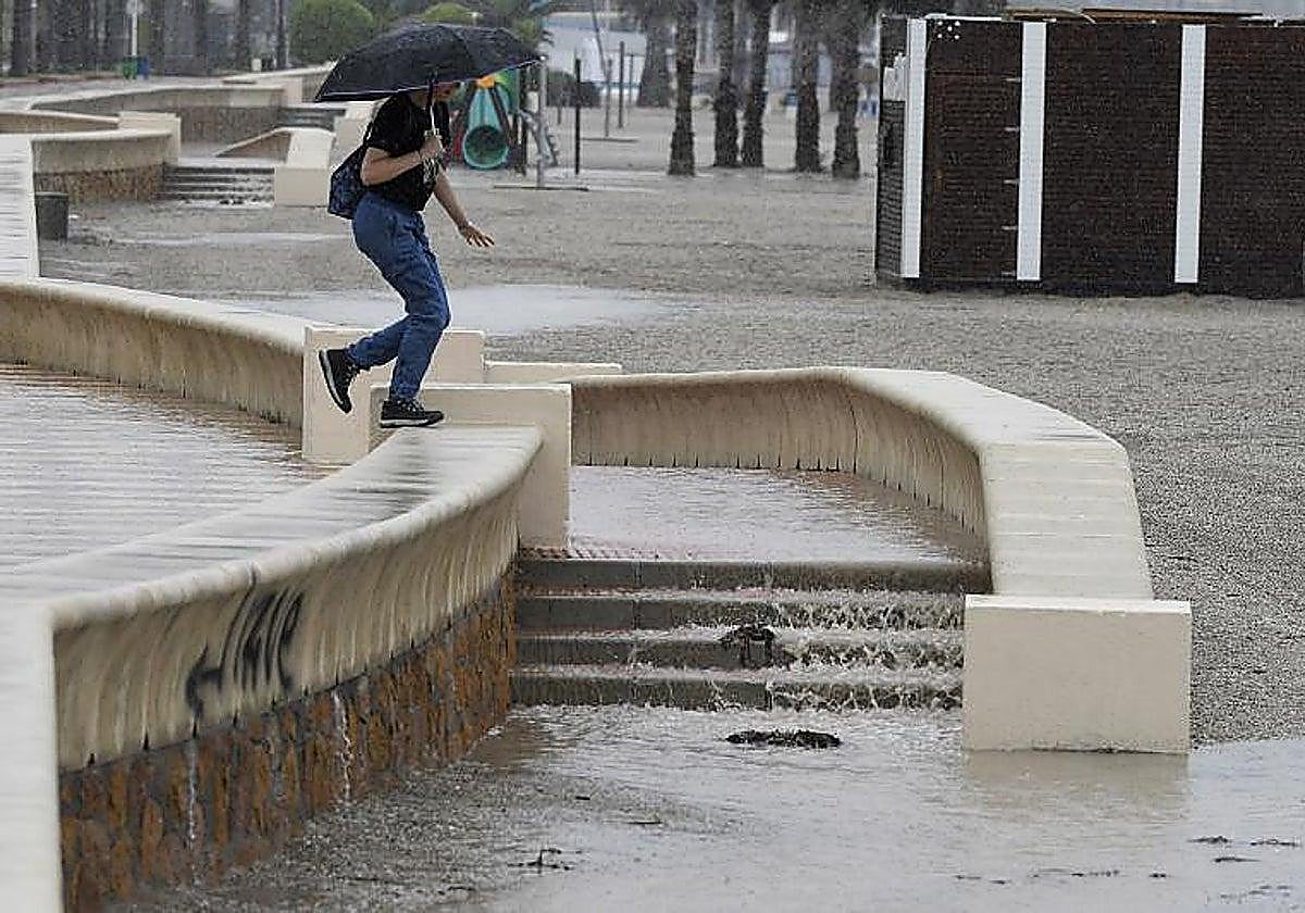 Weather warnings around Andalucía: Aemet forecasts heavy rain across the region, with Almeria on red alert
The warning was raised to red in Almeria – in the areas around the city, Poniente and Levante – where up to 100mm in 12 hours are forecast. In light of this situation, the regional government of Andalucía, represented…
-
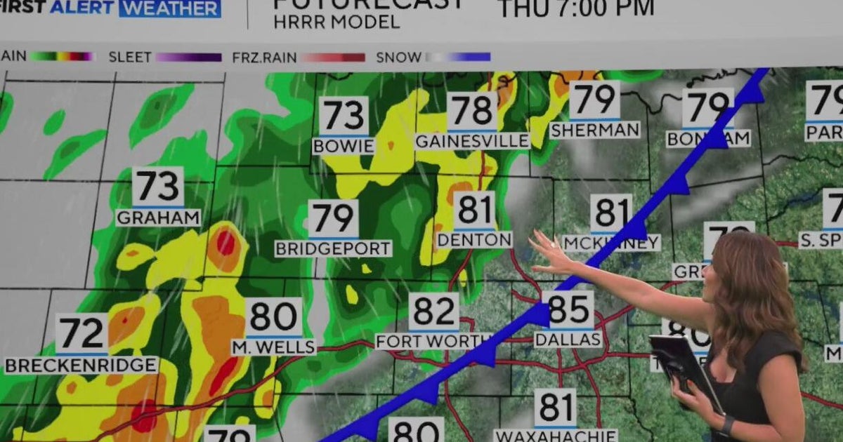 Brief cold front heads for North Texas
CBS News Brief cold front heads for North Texas Paxton launches "Come and Take It" bus tour When will North Texas get that big cooldown? Country music superstar Miranda Lambert brings "Velvet Rodeo" to National Cowgirl…
-
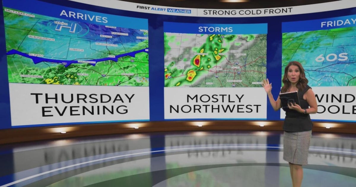 When will North Texas get that big cooldown?
Add CBS News on Google North Texas was off to another warm start Wednesday morning, with temperatures in the 70s and 80s and partly to mostly cloudy skies. Feels-like temperatures this afternoon will reach 103°. There…
-
 How will El Nino in the Pacific impact Maryland's winter?
CBS News How will El Nino in the Pacific impact Maryland's winter? UMD tennis club issues public apology following backlash over racist imagery Rain and storms roll into Maryland to begin the weekend Jury deliberates…
-
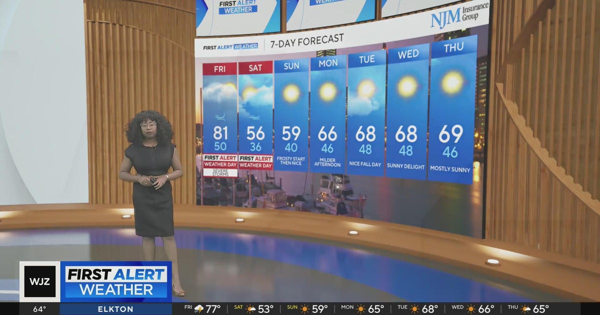 Rain and storms roll into Maryland to begin the weekend
CBS News Rain and storms roll into Maryland to begin the weekend UMD tennis club issues public apology following backlash over racist imagery Jury deliberates for 2nd day in Baltimore rowhome fire Ravens' Devontez…
Sun & moon
Nearby
- Valencia 43 km
- San Felipe 44 km
- Guacara 57 km
- Puerto Cabello 55 km
- San Carlos 58 km
- Tinaquillo 28 km
- Chivacoa 55 km
- Tacarigua 52 km
- Morón 43 km
- Nirgua 19 km
- Cocorote 47 km
- Tinaco 50 km
Forecasts, observations and alerts in the United States come from the National Weather Service (NOAA); radar from NOAA's Multi-Radar Multi-Sensor system; satellite imagery from NASA's Global Imagery Browse Services (GIBS) and NOAA's GOES satellites; the map from the U.S. Geological Survey's National Map; air quality from AirNow (EPA and its partners); hurricane information from the National Hurricane Center; climate normals and records from NOAA's Regional Climate Centers (ACIS). Forecasts outside the United States and the UV index: MET Norway (CC BY 4.0); observations outside the U.S.: airport reports via NOAA's Aviation Weather Center. Place names: GeoNames (CC BY 4.0). Data are copied on a schedule and may lag the sources; for warnings that affect your safety, follow your local National Weather Service office and emergency officials. Weather news is drawn from the 4Conservative index and reflects what the press published. Terms of use.