Install
Arenas, Sucre, Venezuela Weather
Current conditions
Forecast for this hour (no station report in the last two hours)
Forecast
10-day-
Tuesday
Rain. High 30°. Precipitation 1.9 mm for the day.
-
Tuesday Night
Partly cloudy. Low 23°. Precipitation 1.9 mm for the day.
-
Wednesday
Light rain. High 33°. Precipitation 0.4 mm for the day.
MET Norway forecast updated 6 hrs ago.
Hourly
Hourly forecast- Now30°0.7
- 16:0029°0.5
- 17:0028°
- 18:0026°
- 19:0025°
- 20:0025°
- 21:0024°
- 22:0023°
- 23:0023°
- Wed00:0022°
- 01:0022°
- 02:0022°
- 03:0022°
- 04:0022°
- 05:0021°
- 06:0021°
- 07:0023°
- 08:0027°
- 09:0030°
- 10:0031°
- 11:0032°
- 12:0033°
- 13:0033°0.2
- 14:0030°0.2
10-day forecast
DetailsRadar
Full mapWeather news near Arenas
More weather news-
 Southwest Florida Weather Forecast
WINK News Monday, October 19th, 2026, 10 p.m. Currently in Fort Myers Hour by Hour Forecast - Fast moving showers pave the way towards beautiful fall weather - FGCU confirms Trump expected to speak at private Alico…
-
 My UP Weather: Rain, wind, and perhaps some wintry precipitation on Friday; dry weather returns for the weekend (October 15, 2026)
myupnow.com - The Gales of November: Remembering the Wreck of the Edmund Fitzgerald AOC, Abdul El-Sayed pack Marquette arena in push for rural Michigan Senate votes My UP Weather: Rain showers, wind, and even some…
- Atlanta Weather: 88 Degrees Before Weekend Chill
Atlanta is starting Thursday clear and in the mid-60s, with one more summerlike afternoon ahead before fall finally barges in. Temperatures are expected to climb to around 88 degrees under sunny skies, while the weekend…
- Trudy strengthens to a hurricane as system nears Mexico’s coast with major storm expected
Thursday, Oct 15, 2026 7:29 AM MT This GOES-19 GeoColor satellite image provided by the National Oceanic and Atmospheric Administration (NOAA) and taken on Thursday, Oct. 15 2026, shows Hurricane Trudy in the Pacific…
-
 OSAP pause hits some local students hard + Check out these new menu items at TD Coliseum: Top Hamilton headlines today
Here is what’s happening in Hamilton and the surrounding area this morning with your top news, weather and traffic. A rally Tuesday protested the loss of 413 hospital jobs, including 143 nurses and 84 health-care aides…
-
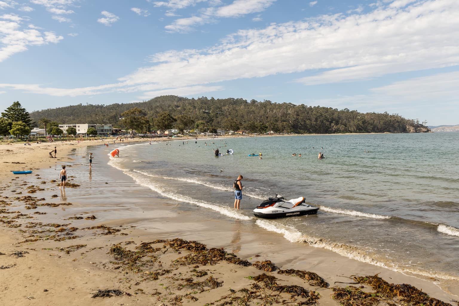 Southern Tasmania tipped to hit 28 degrees days after snow
Temperatures in southern Tasmania are forecast to reach 28 degrees on Monday, days after snow fell to low levels across the state. Bureau of Meteorology forecasts show Campania, Brighton and Richmond reaching 28 degrees…
-
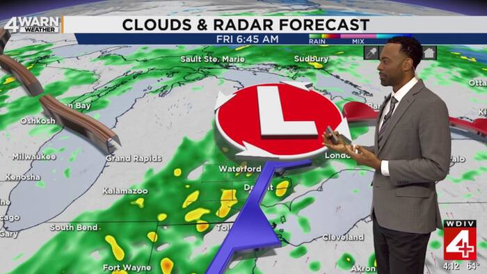 From record heat to rainy, cool end of workweek in Metro Detroit
Metro Detroit has gone from a taste of summer to a much more familiar October pattern, and the next few days will bring several changes ranging from rain to gusty winds and eventually some chilly mornings. Detroit…
-
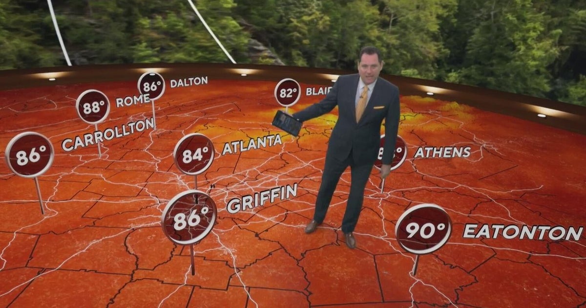 Big weather changes coming to Georgia after record heat
CBS News Big weather changes coming to Georgia after record heat High gas prices could have major impacts on the holidays Pope Leo XIV diagnosed with lung cancer President Trump campaigns for Republicans in Arizona and…
-
 Las Vegas cools after record rain; HVAC experts share tips for switching to heat
President Trump is expected to deliver remarks at a midterm rally at Majestic Valley Arena LAS VEGAS (KSNV) — After weeks of weather swings in Southern Nevada, cooler nights are prompting some Las Vegas homeowners to…
-
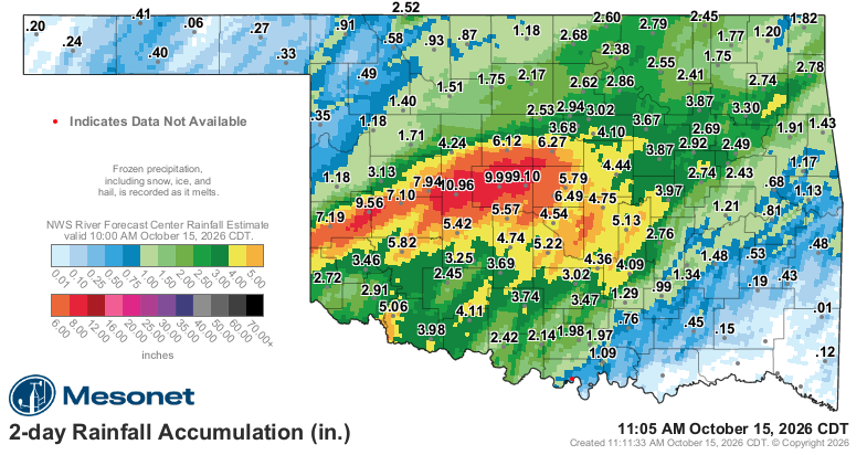 UPDATED: Rain expected to continue Thursday
According to National Weather Service, western and central Oklahoma could see up to 3-4 inches of rainfall through Friday. Parts of the state had received heavy rainfall as of mid-morning Wednesday, Oct. 14, 2026. ENID…
Sun & moon
Nearby
- Cumaná 33 km
- Cariaco 49 km
- Cumanacoa 4 km
- Araya 48 km
- San Antonio 29 km
- Aricagua 6 km
- San Lorenzo 6 km
- San Pedro de Coche 56 km
Forecasts, observations and alerts in the United States come from the National Weather Service (NOAA); radar from NOAA's Multi-Radar Multi-Sensor system; satellite imagery from NASA's Global Imagery Browse Services (GIBS) and NOAA's GOES satellites; the map from the U.S. Geological Survey's National Map; air quality from AirNow (EPA and its partners); hurricane information from the National Hurricane Center; climate normals and records from NOAA's Regional Climate Centers (ACIS). Forecasts outside the United States and the UV index: MET Norway (CC BY 4.0); observations outside the U.S.: airport reports via NOAA's Aviation Weather Center. Place names: GeoNames (CC BY 4.0). Data are copied on a schedule and may lag the sources; for warnings that affect your safety, follow your local National Weather Service office and emergency officials. Weather news is drawn from the 4Conservative index and reflects what the press published. Terms of use.