Install
Sundance, WY Weather
Current conditions
Forecast for this hour (no station report in the last two hours)
Forecast
10-day-
Saturday
Mostly sunny, with a high near 44.
-
Saturday Night
Mostly clear, with a low around 31.
-
Sunday
Mostly sunny, with a high near 47.
National Weather Service forecast updated 3 days ago.
Hourly
Hourly forecast- Now34°
- 10 AM35°
- 11 AM37°
- 12 PM39°
- 1 PM41°
- 2 PM43°
- 3 PM44°
- 4 PM43°
- 5 PM42°
- 6 PM40°
- 7 PM38°
- 8 PM37°
- 9 PM36°
- 10 PM35°
- 11 PM35°
- Sun12 AM35°
- 1 AM35°
- 2 AM34°
- 3 AM34°
- 4 AM33°
- 5 AM33°
- 6 AM33°11%
- 7 AM33°11%
- 8 AM34°11%
10-day forecast
Details- WedOct 21Sunny51°67°
- ThuOct 22Mostly Sunny54°71°
- FriOct 23Mostly Sunny24%34°71°
- TodayOct 24Mostly Sunny31°44°
- SunOct 25Mostly Sunny14%31°47°
- MonOct 26Partly Sunny12%31°45°
- TueOct 27Mostly Sunny12%32°51°
- WedOct 28Rain0.09 in22°42°
- ThuOct 29Sunny21°42°
- FriOct 30Sunny29°52°
Days after the National Weather Service's seven are MET Norway's outlook, a computer model with no forecaster's review.
Radar
Full mapWeather news near Sundance
More weather news-
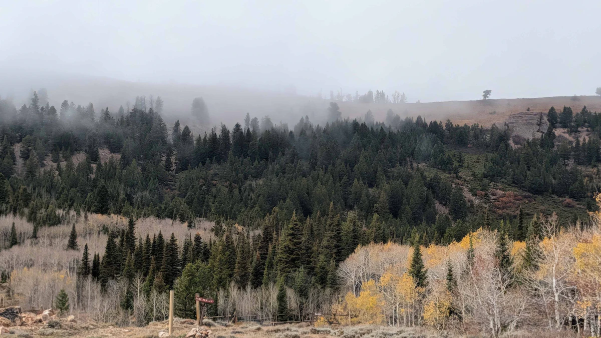 Don Day's Wyoming Weather Forecast: Monday, October 19, 2026
Mostly sunny to sunny in Wyoming on Monday and mostly clear overnight. Highs from the mid 50s to near 70. Lows mainly in the 30s and low 40s. Shoshoni: Sunny today with a high near 66 and clear overnight with a low near…
-
 Rapid City forecast: Breezy warmth, fire concerns before rain chances
RAPID CITY, S.D. (KOTA) -A cold front will bring a cooler, breezy Sunday to KOTA Territory, but temperatures will remain above average as a mostly dry stretch raises fire concerns ahead of possible late-week rain. Rapid…
-
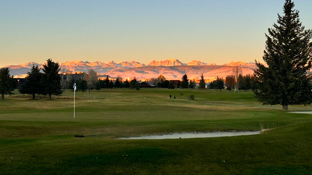 Don Day's Wyoming Weather Forecast: Saturday, October 17, 2026
Sunny in Wyoming on Saturday and mostly clear overnight. Highs from near 60 to the upper 70s. Lows from the mid 20s to mid 40s. Jeffrey City: Sunny and windy today with a high near 65 and wind gusts as high as 40 mph…
-
 Colorado Catholic schools, parents challenge state preschool program
CBS News Colorado Catholic schools, parents challenge state preschool program Wage theft is a big problem among immigrant workers in Denver Denver police, DEA make 107 arrests, seize 223 pounds of illegal drugs in…
-
 World Menopause Day spurs awareness about change of life
CBS News World Menopause Day spurs awareness about change of life Wage theft is a big problem among immigrant workers in Denver Denver police, DEA make 107 arrests, seize 223 pounds of illegal drugs in "Operation…
-
 Propositions 134 & 135 focus on sports and surgeries for transgender kids
CBS News Propositions 134 & 135 focus on sports and surgeries for transgender kids Denver's first freeze likely with Freeze Warning overnight History Colorado Center is now the Colorado History Museum 2027 Sundance Film…
-
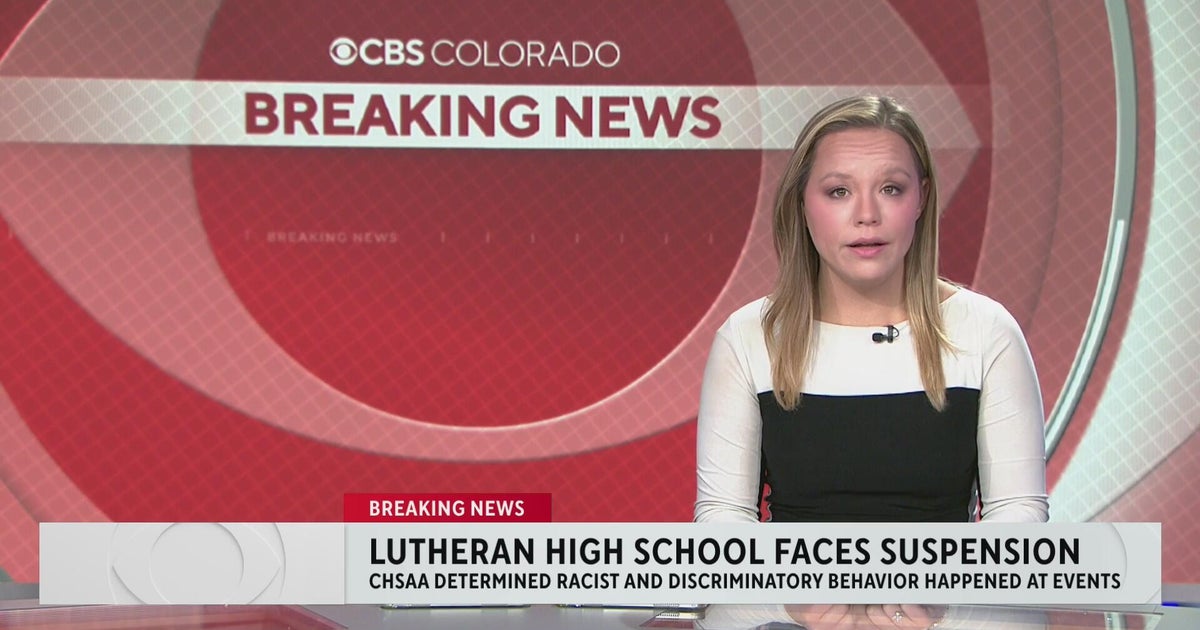 Colorado's Lutheran High School athletic department on probation following racist behavior
CBS News Colorado's Lutheran High School athletic department on probation following racist behavior Meet "Barrel Baby" the newest Denver Broncos fan inducted into the Orange Zone RTD provides affordable options to get…
-
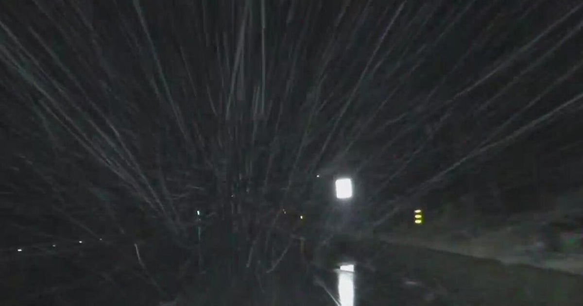 First Alert Weather Tracker follows the snow falling in the mountains
CBS News First Alert Weather Tracker follows the snow falling in the mountains RTD provides affordable options to get to the Denver Broncos game against Seattle Seahawks O is for Orangutan in A to Z with Alex Lehnert…
-
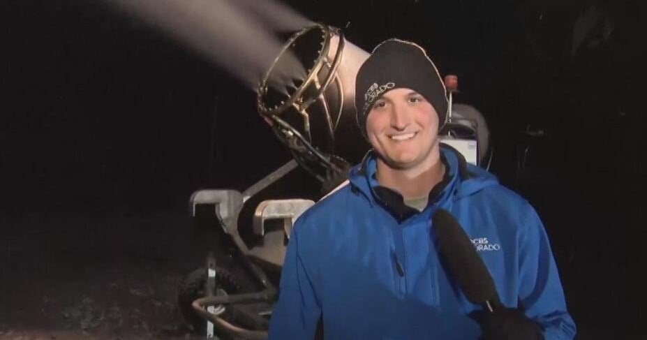 First Alert Weather Tracker heads to A-Basin Ski Area where snow guns are creating snow
CBS News First Alert Weather Tracker heads to A-Basin Ski Area where snow guns are creating snow RTD provides affordable options to get to the Denver Broncos game against Seattle Seahawks First Alert Weather Tracker…
-
 RTD provides affordable options to get to the Denver Broncos game against Seattle Seahawks
CBS News RTD provides affordable options to get to the Denver Broncos game against Seattle Seahawks First Alert Weather Tracker follows the snow falling in the mountains O is for Orangutan in A to Z with Alex Lehnert…
Sun & moon
Almanac
MonthlyDevils Tower No 2, records since 1959. Normals 1991–2020. Data from NOAA's Regional Climate Centers (ACIS).
Nearby
- Spearfish 42 km
- Belle Fourche 51 km
- Lead 49 km
- North Spearfish 40 km
Forecasts, observations and alerts in the United States come from the National Weather Service (NOAA); radar from NOAA's Multi-Radar Multi-Sensor system; satellite imagery from NASA's Global Imagery Browse Services (GIBS) and NOAA's GOES satellites; the map from the U.S. Geological Survey's National Map; air quality from AirNow (EPA and its partners); hurricane information from the National Hurricane Center; climate normals and records from NOAA's Regional Climate Centers (ACIS). Forecasts outside the United States and the UV index: MET Norway (CC BY 4.0); observations outside the U.S.: airport reports via NOAA's Aviation Weather Center. Place names: GeoNames (CC BY 4.0). Data are copied on a schedule and may lag the sources; for warnings that affect your safety, follow your local National Weather Service office and emergency officials. Weather news is drawn from the 4Conservative index and reflects what the press published. Terms of use.