Install
Saratoga, WY Weather
Current conditions
Observed at Saratoga WY · 53 min ago
Forecast
10-day-
Overnight
Partly cloudy, with a low around 37. South southeast wind around 5 mph.
-
Tuesday
Sunny. High near 62, with temperatures falling to around 58 in the afternoon. Southwest wind 5 to 10 mph.
-
Tuesday Night
Mostly clear, with a low around 39. South southwest wind around 5 mph.
National Weather Service forecast updated 2 hrs ago.
Hourly
Hourly forecast- Now40°
- 4 AM39°
- 5 AM38°
- 6 AM37°
- 7 AM40°
- 8 AM43°
- 9 AM45°
- 10 AM50°
- 11 AM54°
- 12 PM59°
- 1 PM60°
- 2 PM61°
- 3 PM62°
- 4 PM60°
- 5 PM58°
- 6 PM56°
- 7 PM53°
- 8 PM51°
- 9 PM48°
- 10 PM46°
- 11 PM45°
- Wed12 AM43°
- 1 AM42°
- 2 AM41°
10-day forecast
Details- TonightOct 19Partly Cloudy37°
- TodayOct 20Sunny39°62°
- WedOct 21Mostly Sunny42°66°
- ThuOct 22Partly Sunny then Chance Rain Showers45%42°64°
- FriOct 23Slight Chance Rain Showers37%31°57°
- SatOct 24Slight Chance Rain And Snow Showers then Mostly Sunny21%29°50°
- SunOct 25Sunny31°59°
- MonOct 26Sunny62°
- TueOct 27Mostly sunny35°61°
- WedOct 28Partly cloudy35°59°
Days after the National Weather Service's seven are MET Norway's outlook, a computer model with no forecaster's review.
Radar
Full mapWeather news near Saratoga
More weather news-
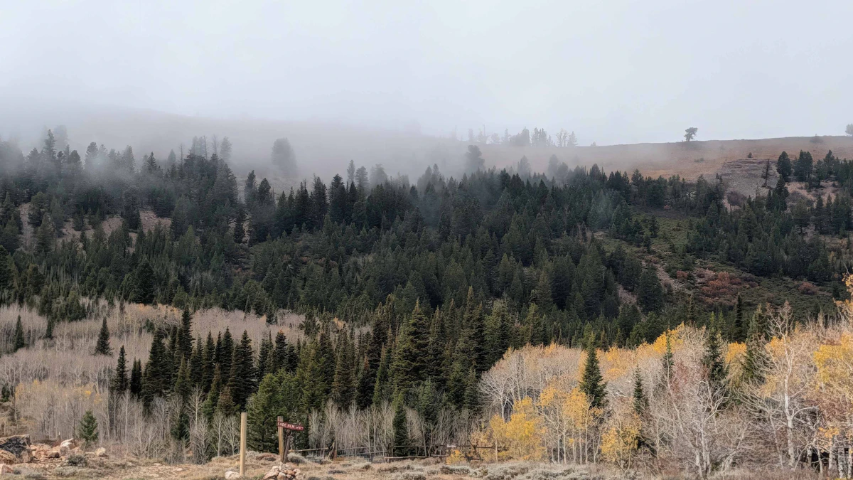 Don Day's Wyoming Weather Forecast: Monday, October 19, 2026
Mostly sunny to sunny in Wyoming on Monday and mostly clear overnight. Highs from the mid 50s to near 70. Lows mainly in the 30s and low 40s. Shoshoni: Sunny today with a high near 66 and clear overnight with a low near…
-
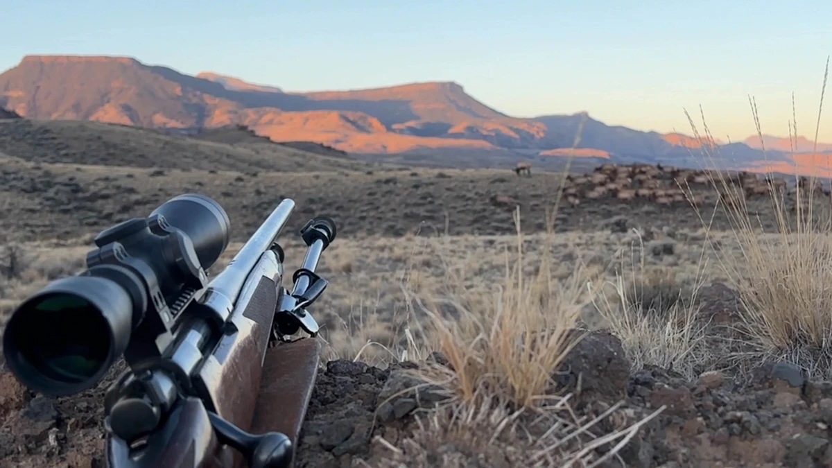 Don Day's Wyoming Weather Forecast: Tuesday, October 20, 2026
Mostly sunny to sunny in Wyoming on Tuesday. Partly cloudy to mostly clear overnight. Highs from the upper 50s to low 70s. Lows from the low 30s to mid-40s. Casper: Sunny and breezy today with a high near 69 and wind…
-
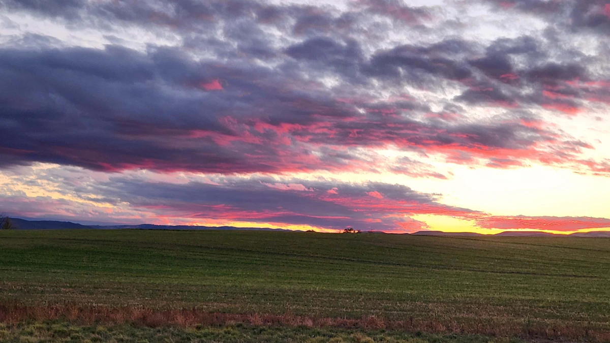 Don Day's Wyoming Weather Forecast: Sunday, October 18, 2026
Sunny in Wyoming on Sunday and partly cloudy to mostly clear overnight. Highs from the upper 50s to low 70s. Lows from the mid 20s to low 40s. Riverton: Sunny today with a high near 61 and mostly clear overnight with a…
-
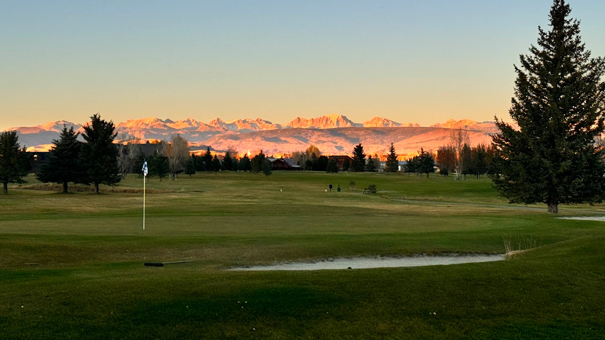 Don Day's Wyoming Weather Forecast: Saturday, October 17, 2026
Sunny in Wyoming on Saturday and mostly clear overnight. Highs from near 60 to the upper 70s. Lows from the mid 20s to mid 40s. Jeffrey City: Sunny and windy today with a high near 65 and wind gusts as high as 40 mph…
-
 High wind watch issued for southeast Wyoming after freeze today
CHEYENNE, Wyo. — A high wind watch takes effect Saturday morning for wind-prone areas of southeast Wyoming as meteorologists expect wind gusts reaching 60 mph. The National Weather Service in Cheyenne issued the watch…
-
 Former SE Wyoming Freeze Watch Now A Warning
Freezing temps in southeast Wyoming prompt reminders for outdoor plumbing precautions this week. KGAB Former SE Wyoming Freeze Watch Now A Warning What had been a Freeze Watch for Southeast Wyoming at one point has now…
-
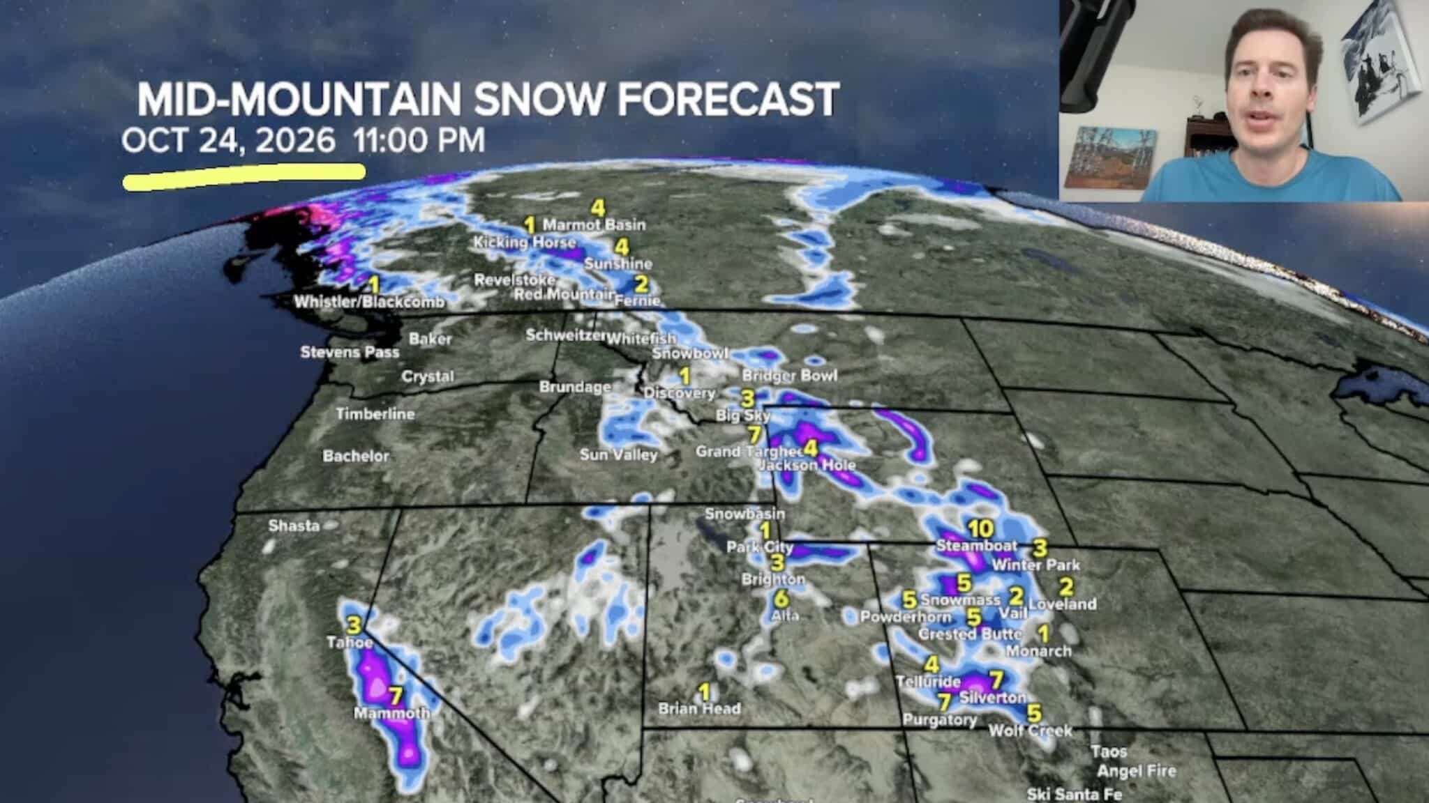 Sierra Nevada, Colorado, and Wyoming Could See A Lot More Snow Next Week
The Sierra Nevada is positioned to receive some of the highest snowfall totals in Tomer’s latest forecast. The incoming storm is expected to dig south into California, generating snowfall across the High Sierra. Tomer…
-
 Freeze Warning issued for Gillette, northeast Wyoming as temps drop into low 20s
GILLETTE, Wyo. — A Freeze Warning will take effect tonight across Campbell County as overnight temperatures drop to around 23 degrees, according to the National Weather Service in Rapid City. The warning begins at 9…
-
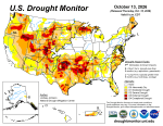 #Drought news October 15, 2026: Drought improvements were noted across portions of #Arizona, #NewMexico, #Utah and the Rocky Mountains of #Colorado and #Wyoming
Drought news October 15, 2026: Drought improvements were noted across portions of #Arizona, #NewMexico, #Utah and the Rocky Mountains of #Colorado and #Wyoming coyotegulch.blog Click on a thumbnail graphic to view a…
- This Wyoming Weekend – 3 Beautiful Days In A Row
Let's not hear any complaints about the weather of the past few days. We needed the wet. Some areas got a good amount of rain, and some parts of Wyoming even got some light snow. It's about time. As of 10/15/2026, that…
Air quality
Air quality is satisfactory, and air pollution poses little or no risk.
Medicine Bow National Forest, WY reporting area · 1 hr ago. Data from AirNow (EPA and its state, local and tribal partners); preliminary and subject to change.
Sun & moon
Almanac
MonthlySouth Brush Creek, records since 1988. Normals 1991–2020. Data from NOAA's Regional Climate Centers (ACIS).
Nearby
- Rawlins 52 km
Forecasters' discussion
From the National Weather Service office in CYS, issued 4 hrs ago
Key Messages
- Dry conditions and above average temperatures are expected to continue through at least mid-week.
- The next chance for precipitation and temperatures closer to seasonal averages will be late week, Friday, into next weekend.
Short Term
Issued at 131 PM MDT Mon Oct 19 2026
A couple features evident on mid-level water vapor imagery that will play somewhat a role on our weather in the short term period. The first is a modest shortwave sliding across Kansas which aligns well with upper level pattern on the deterministic models. This will not bring an increase in precipitation chances; however, will increase our low-level moisture and cloud cover ever so slightly. This added cloud cover shows up nicely on VIS satellite imagery traversing across our western forecast zones. These clouds may play a role on our afternoon highs, keeping them a bit cooler than the forecast. With that being said, expect highs to climb into the the low to mid 60s while lows dip into the low to mid 40s. With the increase in low- level moisture, this will dampen, no pun, any fire weather concerns that we may see this afternoon with min RH values only bottoming out in the mid 20s to near 30 percent. By this evening, as the shortwave ejects off to the east, guidance shows skies becoming clear across the CWA and remaining so into the overnight hours. Winds will remain generally light, 10 mph or less, with a few gusts that may top out near 20-25 mph primarily in the Rawlins/Laramie/Cheyenne areas. Heading into Tuesday, a shortwave to our southwest that is also prevalent on water vapor imagery, will slide into and across the Central Rockies. This will bring increased chances of precipitation as hi-res model indicate; however, chances will remain slim as PoPs should be generally less than 15 percent. Current forecast highs are a tad warmer then today and range from the low to mid 60s west of I- 25 and upper 60s to low 70s east of the corridor with lows only tanking into the low to mid 40s. Taking a final look at winds, they look rather light across the CWA with speeds generally less than 10 mph once again.
Long Term
Issued at 131 PM MDT Mon Oct 19 2026
Wednesday...Westerly flow aloft continues and with dry low and mid levels, no precipitation is expected.
Thursday...Moist south southwest flow aloft develops in advance of the upper low over Nevada, with deeper moisture and a weak shortwave trough aloft moving across our western counties, producing scattered showers and a few thunderstorms south of a line from Rawlins, to Wheatland to Cheyenne.
Friday...As the main trough aloft moves across western Wyoming, a cold front will lie north to south across our counties, helping to produce scattered showers mainly west of I-25 in the afternoon, and spreading eastward in the evening.
Saturday...The primary trough aloft moves overhead early in the day, and orographic lift will likely produce scattered showers in the afternoon from Douglas to Laramie, and in the evening south of a Rawlins to Scottsbluff line.
Sunday/Monday...Drier conditions return under northwest flow aloft and as the low and mid levels dry out somewhat. 700 mb temperatures near 3 Celsius will yield high temperatures in the mid 50s to lower 60s.
Aviation
Issued at 1054 PM MDT Mon Oct 19 2026
VFR conditions are expected for the forecast period. Winds will be generally light as well, but the direction may be variable at times, especially in Nebraska. Expect a few gusts of 20 to 25 knots at RWL on Tuesday. Scattered showers are expected to develop near LAR and CYS late Tuesday afternoon and carry into the early evening. Gusty variable winds and a brief downpour are possible. VIS drops and a few rumbles of thunder cannot be ruled out.
Forecasts, observations and alerts in the United States come from the National Weather Service (NOAA); radar from NOAA's Multi-Radar Multi-Sensor system; satellite imagery from NASA's Global Imagery Browse Services (GIBS) and NOAA's GOES satellites; the map from the U.S. Geological Survey's National Map; air quality from AirNow (EPA and its partners); hurricane information from the National Hurricane Center; climate normals and records from NOAA's Regional Climate Centers (ACIS). Forecasts outside the United States and the UV index: MET Norway (CC BY 4.0); observations outside the U.S.: airport reports via NOAA's Aviation Weather Center. Place names: GeoNames (CC BY 4.0). Data are copied on a schedule and may lag the sources; for warnings that affect your safety, follow your local National Weather Service office and emergency officials. Weather news is drawn from the 4Conservative index and reflects what the press published. Terms of use.