Install
Mills, WY Weather
Current conditions
Forecast for this hour (no station report in the last two hours)
Forecast
10-day-
Saturday
Partly sunny, with a high near 48. Northeast wind 9 to 14 mph.
-
Saturday Night
A slight chance of rain and snow showers after midnight. Partly cloudy, with a low around 32. East wind 3 to 10 mph.
-
Sunday
A slight chance of rain and snow showers. Partly sunny, with a high near 51. East northeast wind 2 to 6 mph. Chance of precipitation is 20%.
National Weather Service forecast updated 1 day ago.
Hourly
Hourly forecast- Now35°
- 7 AM35°
- 8 AM34°
- 9 AM35°
- 10 AM37°
- 11 AM40°
- 12 PM42°
- 1 PM45°
- 2 PM47°
- 3 PM47°
- 4 PM48°
- 5 PM47°
- 6 PM46°
- 7 PM44°
- 8 PM43°
- 9 PM41°
- 10 PM40°
- 11 PM39°
- Sun12 AM38°14%
- 1 AM37°14%
- 2 AM36°14%
- 3 AM36°14%
- 4 AM34°14%
- 5 AM33°14%
10-day forecast
Details- ThuOct 22Mostly Sunny23%53°72°
- FriOct 23Mostly Sunny34°66°
- TodayOct 24Partly Sunny14%32°48°
- SunOct 25Slight Chance Rain And Snow Showers19%32°51°
- MonOct 26Mostly Sunny32°54°
- TueOct 27Mostly Sunny11%36°61°
- WedOct 28Sunny14%35°60°
- ThuOct 29Sunny29°50°
- FriOct 30Mostly sunny40°55°
- SatOct 31Mostly sunny37°55°
Days after the National Weather Service's seven are MET Norway's outlook, a computer model with no forecaster's review.
Radar
Full mapWeather news near Mills
More weather news-
 Mills Observatory Weather Tracker: 19–24 October 2026
It’s looking like a challenging week for stargazing in Dundee, with cloudy skies and rain expected for much of the coming week. However, there could be one particularly promising evening ahead! Dundee Culture’s latest…
-
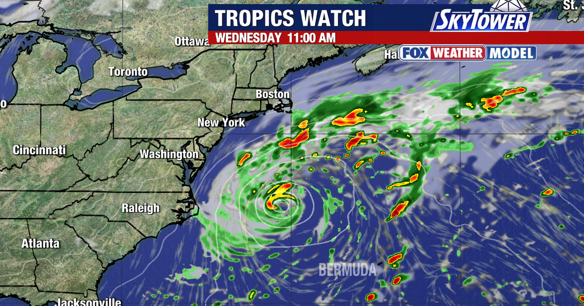 Tropical development possible off Southeast coast as system drifts northeast
FOX 13 Meteorologist Valerie Mills says Monday will be mainly sunny and breezy with a high temperature of 81 degrees. TAMPA, Fla. - Forecasters are monitoring an ocean disturbance off the Southeast coast that could turn…
-
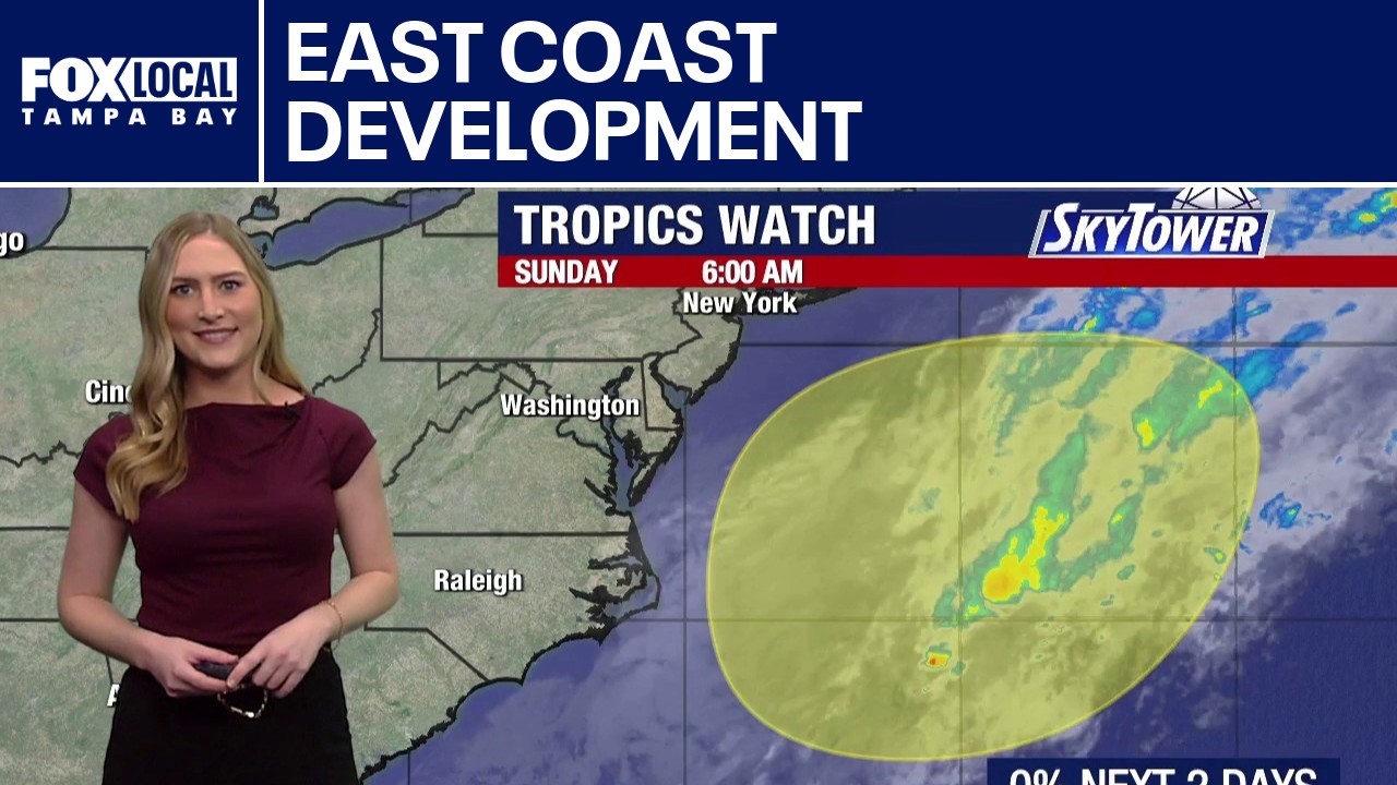 Tropical development possible off East Coast
FOX 13 meteorologist Valerie Mills is tracking a new area of development off the East Coast. The system is moving slowly over the Atlantic and could drift northeast over the next few days. The National Hurricane Center…
-
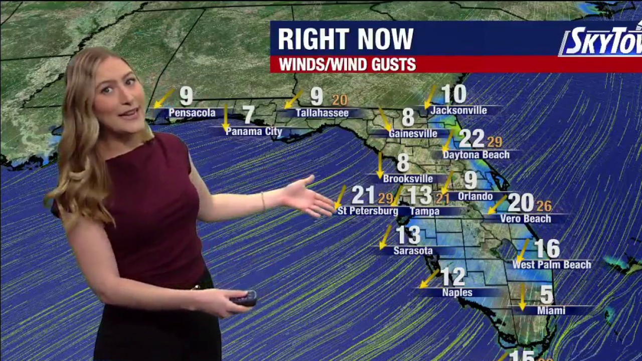 Tampa Weather | Sunday Forecast
FOX 13 Tampa Bay FOX 13 Meteorologist Valerie Mills says the Sunday forecast calls for gusty winds and mild temperatures.
-
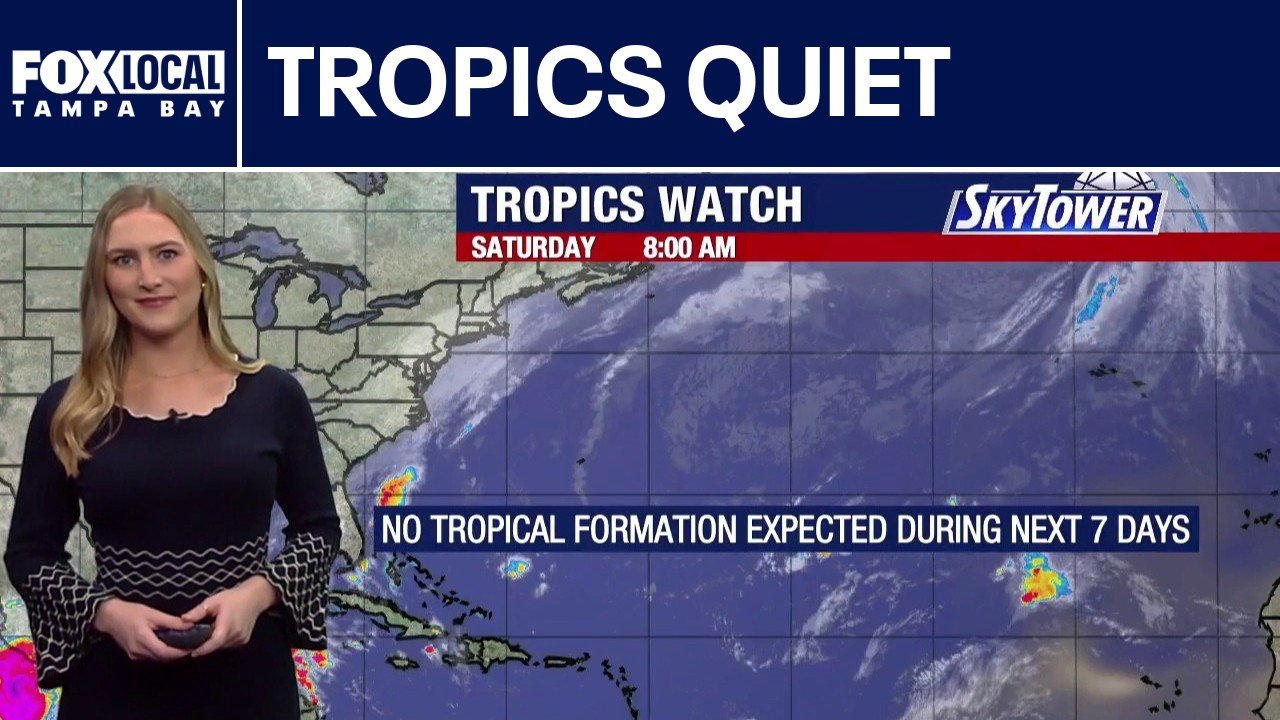 Today's tropical weather forecast
FOX 13 Tampa Bay FOX 13 meteorologist Valerie Mills is not tracking any areas of potential tropical development in the Atlantic basin. Wind shear continues to limit development, with no tropical formation expected over…
-
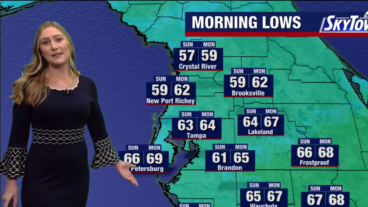 Tampa Weather | Saturday morning forecast
FOX 13 Tampa Bay FOX 13 Meteorologist Valerie Mills has your Saturday morning forecast.
-
 Toronto’s first frost of the season expected as Environment Canada issues yellow advisory
Sensitive outdoor plants should be covered or brought inside to avoid damage, said Environment Canada meteorologist Rob Kuhn. Temperatures are forecast to dip overnight Friday into Saturday morning, creating conditions…
-
 Freeze Watch issued for Wayne, Northern Cayuga counties Saturday night through Sunday morning
A Freeze Watch has been issued for Wayne and Northern Cayuga counties from late Saturday night through Sunday morning. Sub-freezing temperatures are expected, particularly in areas inland from Lake Ontario, with frost…
-
 Be prepared for gusty showers in Finger Lakes, Southern Tier Friday midday — gusts could peak at 40 mph
A report from the National Weather Service was issued on Friday at 10:10 a.m. for gusty showers until 11:15 a.m. for Yates, Seneca, Cayuga, Steuben and Schuyler counties. Residents can expect wind gusts of up to 40 mph…
- Wind advisory for North Texas for Friday
The NWS Fort Worth TX released a wind advisory at 12:18 p.m. on Thursday valid for Friday between 4 a.m. and 7 p.m. The advisory is for Wise, Denton, Collin, Parker, Tarrant, Dallas, Hood, Johnson, Montague, Cooke…
Sun & moon
Almanac
MonthlyCasper Area, records since 1939. Normals 1991–2020. Data from NOAA's Regional Climate Centers (ACIS).
Nearby
- Casper 5 km
- Evansville 8 km
- Bar Nunn 8 km
- Glenrock 40 km
Forecasts, observations and alerts in the United States come from the National Weather Service (NOAA); radar from NOAA's Multi-Radar Multi-Sensor system; satellite imagery from NASA's Global Imagery Browse Services (GIBS) and NOAA's GOES satellites; the map from the U.S. Geological Survey's National Map; air quality from AirNow (EPA and its partners); hurricane information from the National Hurricane Center; climate normals and records from NOAA's Regional Climate Centers (ACIS). Forecasts outside the United States and the UV index: MET Norway (CC BY 4.0); observations outside the U.S.: airport reports via NOAA's Aviation Weather Center. Place names: GeoNames (CC BY 4.0). Data are copied on a schedule and may lag the sources; for warnings that affect your safety, follow your local National Weather Service office and emergency officials. Weather news is drawn from the 4Conservative index and reflects what the press published. Terms of use.