Install
Shannondale, WV Weather
Current conditions
Observed at Leesburg / Godfrey · 39 min ago
Forecast
10-day-
Today
Patchy fog before 10am. Sunny, with a high near 64. South wind 0 to 3 mph.
-
Tonight
Patchy fog after 10pm. Mostly clear, with a low around 34. South wind around 2 mph.
-
Monday
Patchy fog before 8am. Sunny, with a high near 69. West wind 1 to 5 mph.
National Weather Service forecast updated 8 hrs ago.
Hourly
Hourly forecast- Now64°
- 4 PM64°
- 5 PM64°
- 6 PM61°
- 7 PM56°
- 8 PM49°
- 9 PM47°
- 10 PM43°
- 11 PM41°
- Mon12 AM40°
- 1 AM39°
- 2 AM39°
- 3 AM37°
- 4 AM36°
- 5 AM35°
- 6 AM35°
- 7 AM34°
- 8 AM35°
- 9 AM41°
- 10 AM50°
- 11 AM55°
- 12 PM60°
- 1 PM64°
- 2 PM67°
10-day forecast
Details- TodayOct 25Patchy Fog then Sunny34°64°
- MonOct 26Patchy Fog then Sunny43°69°
- TueOct 27Sunny41°68°
- WedOct 28Mostly Cloudy45°64°
- ThuOct 29Mostly Sunny46°72°
- FriOct 30Sunny48°74°
- SatOct 31Mostly Sunny51°72°
- SunNov 1Heavy rain0.65 in55°66°
- MonNov 2Heavy rain0.48 in46°62°
- TueNov 3Partly cloudy40°49°
Days after the National Weather Service's seven are MET Norway's outlook, a computer model with no forecaster's review.
Radar
Full mapWeather news in West Virginia
More weather news-
 Freeze expected tonight in six West Virginia counties before mild, dry week
CHARLESTON, W.Va. — One more frosty night is in store for parts of West Virginia before a mild, dry stretch settles in for the week ahead. The MetroNews forecast calls for a freeze tonight into early Monday in…
- A Long Stretch of Dry and Sunny Weather in West Virginia
WDTV 5 BRIDGEPORT, W.Va (WDTV) - Weather Overview: A Stretch of Sunny Days and Chilly Nights The next 10 days look mainly dry and sunny here in North Central West Virginia (NCWV). For each afternoon, temperatures reach…
-
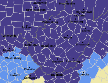 West Virginia under freeze warning for tonight
CHARLESTON, W.Va. — The National Weather has issued a freeze warning for the entire state for overnight Saturday into Sunday. The warning is posted for 1 a.m. to 9 a.m. Sunday. Meteorologists said sub-freezing…
-
 Cloudy Sunday with scattered showers as cooler air returns to Minnesota
October 25, 2026 / 12:39 PM CDT / CBS Minnesota A cold front has brought some cooler, more seasonal air to Minnesota. There will be lots of clouds Sunday, keeping highs in the mid-50s. There could be a few showers in…
-
 Forget Me Not provides end-of-life care for your furry friends
End-of-life care is an important consideration for all pet owners. Often you might think of cremation, but have you ever heard of aquamation? Karen Randall with Forget Me Not Gentle Pet Aquamation and Comfort Center…
-
 Record number of Minnesotans expected to visit food shelves in 2026
More and more Minnesotans are reaching out for help to put food on the table. Last year, there were more than 9 million visits to food shelves in Minnesota. The nonprofit tracking those numbers tells our Conor Wight…
-
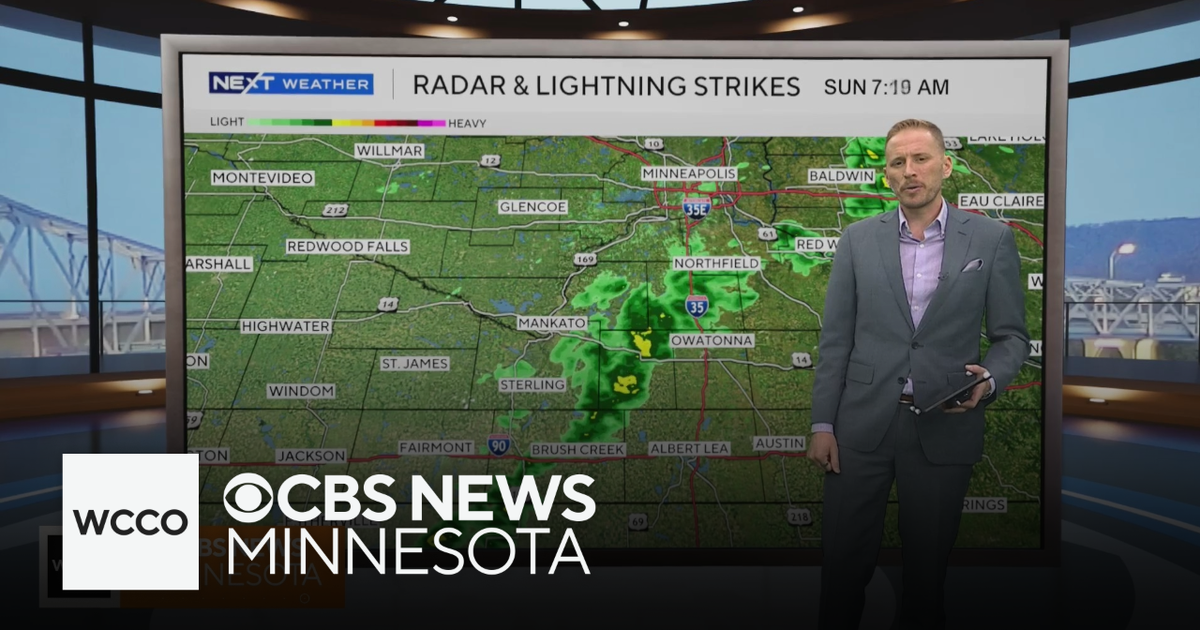 Cooler air returns to Minnesota, along with scattered showers | Oct. 25, 2026
CBS News Minnesota is a local news organization that is part of CBS News and Stations. Also referred to as WCCO-TV and channel 4, CBS News Minnesota offers local breaking news, weather coverage and investigative…
-
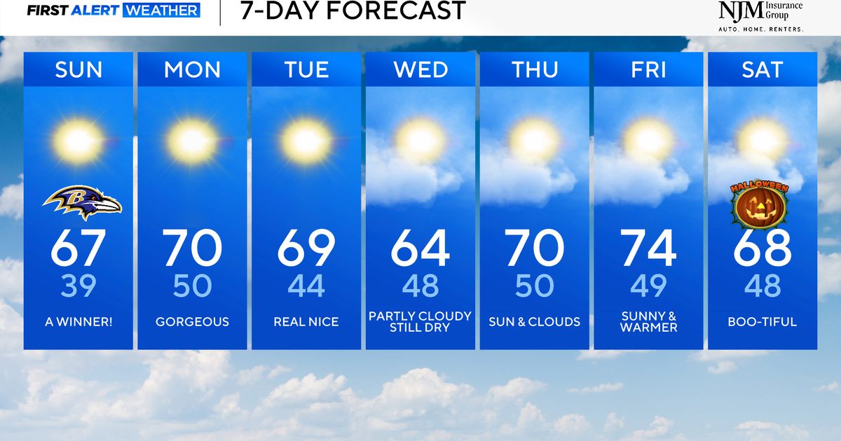 Sunny and pleasant fall weather ahead for Maryland
CBS News Baltimore is a local news organization that is part of CBS News and Stations. Also referred to as WJZ-TV and channel 13, CBS News Baltimore offers local breaking news, weather coverage and investigative…
-
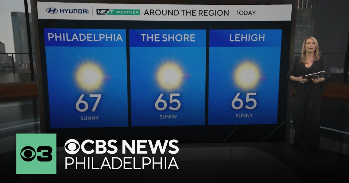 Fall foliage reaching its peak across Philadelphia area, more frosty mornings ahead | NEXT Weather
CBS News Bay Area Morning Edition Weekend 6am WBZ This Morning 8am CBS Colorado Mornings Weekend CBS News Los Angeles Weekend 6am CBS Miami News Sunday Morning CBS News New York Sunday 8am KDKA News This Morning Sunday…
-
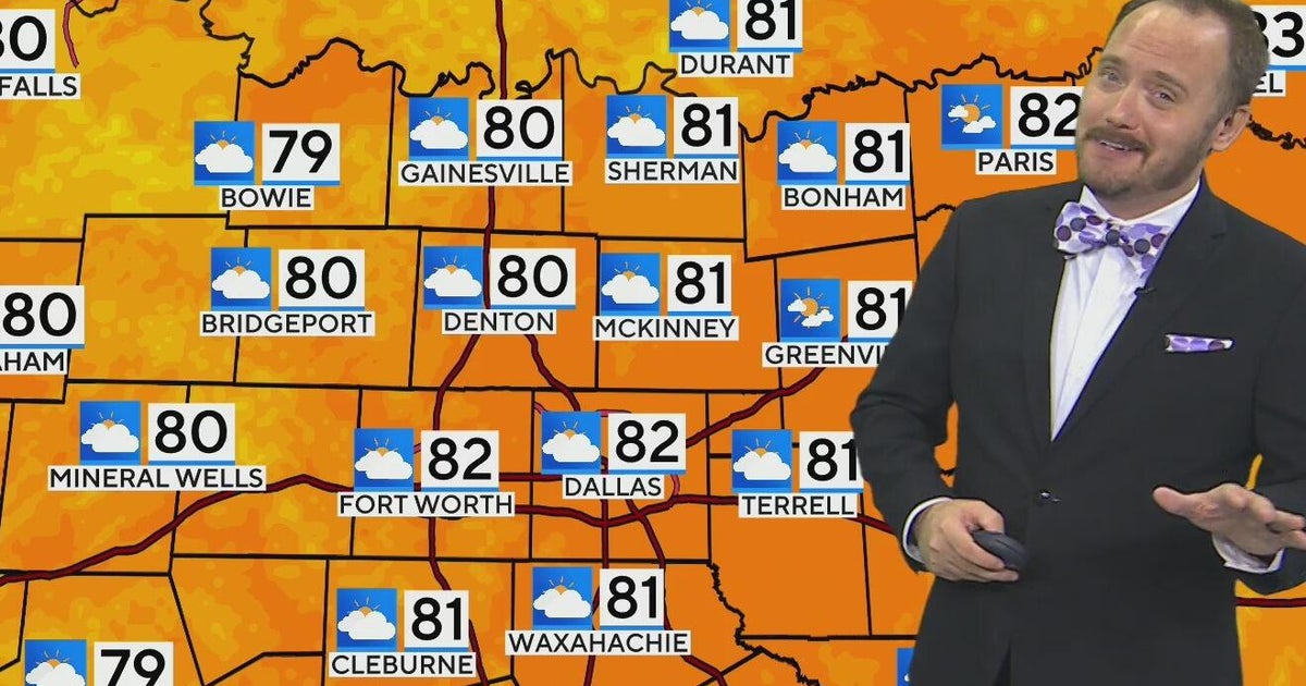 Warm, mild Sunday ahead for North Texas
CBS News Bay Area Morning Edition Weekend 6am WBZ This Morning 8am CBS Colorado Mornings Weekend CBS News Los Angeles Weekend 6am CBS Miami News Sunday Morning CBS News New York Sunday 8am KDKA News This Morning Sunday…
Air quality
Air quality is satisfactory, and air pollution poses little or no risk.
Forecast
- SunModerate (56)
- MonModerate (56)
- TueModerate (58)
Martinsburg, WV reporting area · 1 hr ago. Data from AirNow (EPA and its state, local and tribal partners); preliminary and subject to change.
Sun & moon
Almanac
MonthlyMartinsburg Eastern West Virginia Regional Airport, records since 1891. Normals 1991–2020. Data from NOAA's Regional Climate Centers (ACIS).
Nearby
- Germantown 46 km
- Centreville 53 km
- Frederick 41 km
- Gaithersburg 53 km
- Rockville 58 km
- Reston 49 km
- Leesburg 24 km
- Potomac 56 km
- Ashburn 34 km
- Manassas 59 km
- Hagerstown 48 km
- Linton Hall 55 km
Forecasters' discussion
From the National Weather Service office in LWX, issued 5 hrs ago
What Has Changed
The growing season ended for Frederick MD and western Loudoun Counties. Otherwise little to no change needed to the forecast this morning.
Key Messages
- 1) Below normal low temperatures give way to a warming trend early this week.
- 2) Above normal temperatures and dry conditions continue through the end of the week.
Discussion
KEY MESSAGE 1...Below normal low temperatures give way to a warming trend early this week.
High pressure will drift southwest through Monday. As a result, expect a continuation of frost and freeze conditions tonight with seasonable temperatures during the daylight hours.
After the chilly start, temperatures will rebound well into the 60s for much of the area this afternoon. Some stratocumulus are possible at times, but may ultimately be thin and transient.
As the high drifts southwest tonight, low-level flow will turn westerly allowing for less of a marine influence. This should set us up for one more good radiational cooling night before temperatures warm under return flow early in the workweek. Tonight will be more of a ridge- valley split type of night with cooler conditions in the valleys/cold pockets/locations along and east of I-95 compared to the ridge tops given the sharp surface inversion/decoupling.
Only minor changes have been made to the previous min temperature forecasts, which are near or below the coldest guidance which performs best in radiational cooling (MOS, NBM 10th percentile and Canadian Regional).
Expect temperatures to rise above normal (upper 60s to lower 70s) by Monday afternoon as the warming airmass mixes to the surface. Minimal cloud cover and light winds will remain persistent.
Aviation
Expect VFR conditions today with some stratocu possible. NAM and related guidance continues to show more widespread low CIGS and fog late tonight into early Monday morning, with at least some hint of this in other guidance and forecast soundings.
Winds will be light out of the NE this morning shifting to SE this afternoon, then W overnight. W/NW winds AOB 10 kts Monday.
P6SM SKC with light and variable winds as high pressure dominates. A dry cold front will cross the area late Monday night with winds shifting to NW Tuesday.
Forecasts, observations and alerts in the United States come from the National Weather Service (NOAA); radar from NOAA's Multi-Radar Multi-Sensor system; satellite imagery from NASA's Global Imagery Browse Services (GIBS) and NOAA's GOES satellites; the map from the U.S. Geological Survey's National Map; air quality from AirNow (EPA and its partners); hurricane information from the National Hurricane Center; climate normals and records from NOAA's Regional Climate Centers (ACIS). Forecasts outside the United States and the UV index: MET Norway (CC BY 4.0); observations outside the U.S.: airport reports via NOAA's Aviation Weather Center. Place names: GeoNames (CC BY 4.0). Data are copied on a schedule and may lag the sources; for warnings that affect your safety, follow your local National Weather Service office and emergency officials. Weather news is drawn from the 4Conservative index and reflects what the press published. Terms of use. How to use Weather