Install
Paden City, WV Weather
Current conditions
Observed at Parkersburg, Mid-Ohio Valley Regional Airport · 28 min ago
Forecast
10-day-
Sunday
Areas of fog before 10am. Sunny, with a high near 69. Southeast wind around 2 mph.
-
Sunday Night
Areas of fog after 10pm. Mostly clear, with a low around 40. Wind around 0 mph.
-
Monday
Areas of fog before 11am. Sunny, with a high near 72. South wind around 2 mph.
National Weather Service forecast updated 17 hrs ago.
Hourly
Hourly forecast- Now68°
- 4 PM69°
- 5 PM68°
- 6 PM65°
- 7 PM60°
- 8 PM53°
- 9 PM50°
- 10 PM47°
- 11 PM45°
- Mon12 AM44°
- 1 AM44°
- 2 AM43°
- 3 AM42°
- 4 AM41°
- 5 AM41°
- 6 AM41°
- 7 AM40°
- 8 AM40°
- 9 AM44°
- 10 AM51°
- 11 AM58°
- 12 PM63°
- 1 PM67°
- 2 PM70°
10-day forecast
Details- TonightOct 24Areas Of Fog38°
- TodayOct 25Areas Of Fog then Sunny40°69°
- MonOct 26Areas Of Fog then Sunny44°72°
- TueOct 27Areas Of Fog then Mostly Sunny46°72°
- WedOct 28Mostly Cloudy46°73°
- ThuOct 29Sunny46°75°
- FriOct 30Sunny48°75°
- SatOct 31Mostly Sunny75°
- SunNov 1Heavy rain0.76 in57°61°
- MonNov 2Cloudy0.02 in60°70°
Days after the National Weather Service's seven are MET Norway's outlook, a computer model with no forecaster's review.
Radar
Full mapWeather news in West Virginia
More weather news-
 Freeze expected tonight in six West Virginia counties before mild, dry week
CHARLESTON, W.Va. — One more frosty night is in store for parts of West Virginia before a mild, dry stretch settles in for the week ahead. The MetroNews forecast calls for a freeze tonight into early Monday in…
- A Long Stretch of Dry and Sunny Weather in West Virginia
WDTV 5 BRIDGEPORT, W.Va (WDTV) - Weather Overview: A Stretch of Sunny Days and Chilly Nights The next 10 days look mainly dry and sunny here in North Central West Virginia (NCWV). For each afternoon, temperatures reach…
-
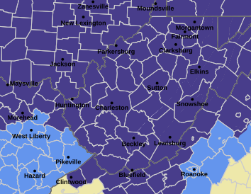 West Virginia under freeze warning for tonight
CHARLESTON, W.Va. — The National Weather has issued a freeze warning for the entire state for overnight Saturday into Sunday. The warning is posted for 1 a.m. to 9 a.m. Sunday. Meteorologists said sub-freezing…
-
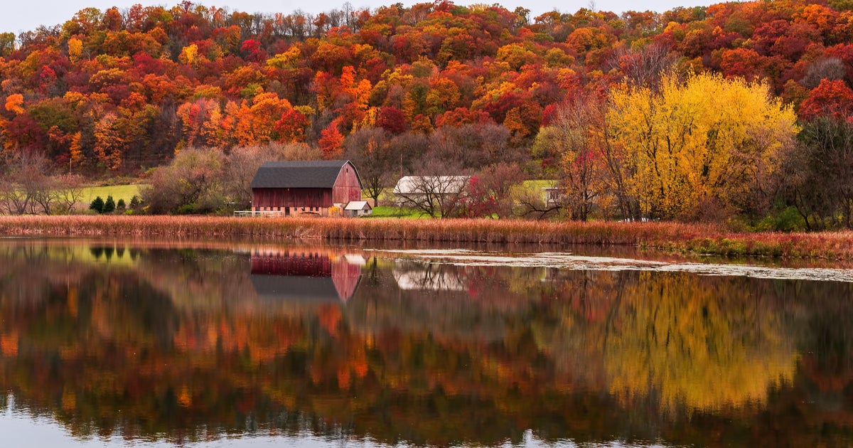 Cloudy Sunday with scattered showers as cooler air returns to Minnesota
October 25, 2026 / 12:39 PM CDT / CBS Minnesota A cold front has brought some cooler, more seasonal air to Minnesota. There will be lots of clouds Sunday, keeping highs in the mid-50s. There could be a few showers in…
-
 Forget Me Not provides end-of-life care for your furry friends
End-of-life care is an important consideration for all pet owners. Often you might think of cremation, but have you ever heard of aquamation? Karen Randall with Forget Me Not Gentle Pet Aquamation and Comfort Center…
-
 Record number of Minnesotans expected to visit food shelves in 2026
More and more Minnesotans are reaching out for help to put food on the table. Last year, there were more than 9 million visits to food shelves in Minnesota. The nonprofit tracking those numbers tells our Conor Wight…
-
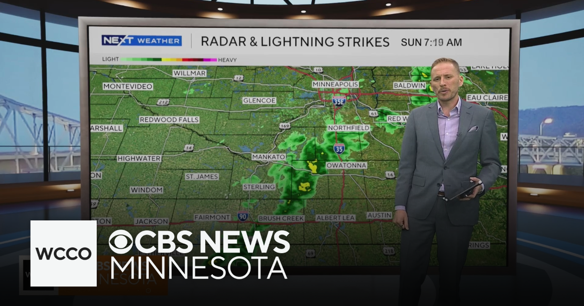 Cooler air returns to Minnesota, along with scattered showers | Oct. 25, 2026
CBS News Minnesota is a local news organization that is part of CBS News and Stations. Also referred to as WCCO-TV and channel 4, CBS News Minnesota offers local breaking news, weather coverage and investigative…
-
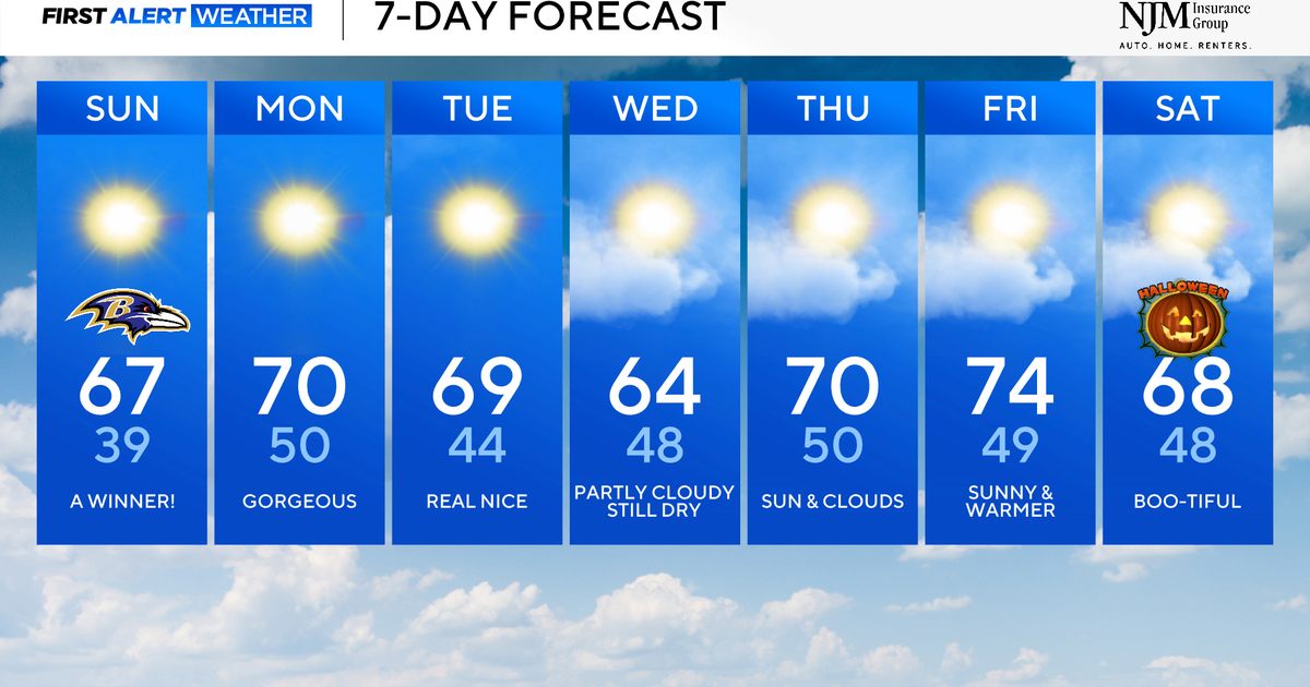 Sunny and pleasant fall weather ahead for Maryland
CBS News Baltimore is a local news organization that is part of CBS News and Stations. Also referred to as WJZ-TV and channel 13, CBS News Baltimore offers local breaking news, weather coverage and investigative…
-
 Fall foliage reaching its peak across Philadelphia area, more frosty mornings ahead | NEXT Weather
CBS News Bay Area Morning Edition Weekend 6am WBZ This Morning 8am CBS Colorado Mornings Weekend CBS News Los Angeles Weekend 6am CBS Miami News Sunday Morning CBS News New York Sunday 8am KDKA News This Morning Sunday…
-
 Warm, mild Sunday ahead for North Texas
CBS News Bay Area Morning Edition Weekend 6am WBZ This Morning 8am CBS Colorado Mornings Weekend CBS News Los Angeles Weekend 6am CBS Miami News Sunday Morning CBS News New York Sunday 8am KDKA News This Morning Sunday…
Air quality
Air quality is satisfactory, and air pollution poses little or no risk.
Moundsville, WV reporting area · 1 hr ago. Data from AirNow (EPA and its state, local and tribal partners); preliminary and subject to change.
Sun & moon
Almanac
MonthlyHannibal Locks And Dam, records since 1975. Normals 1991–2020. Data from NOAA's Regional Climate Centers (ACIS).
Nearby
- Wheeling 54 km
- Marietta 49 km
- Moundsville 39 km
- Martins Ferry 58 km
- New Martinsville 8 km
- Saint Clairsville 53 km
- Bellaire 49 km
- Barnesville 47 km
- Shadyside 44 km
- Williamstown 49 km
- Devola 49 km
- Bethlehem 53 km
Forecasters' discussion
From the National Weather Service office in PBZ, issued 2 hrs ago
What Has Changed
No changes to the forecast package or messaging.
Key Messages
1) High confidence in continued dry weather and above-noraml temperatures through the work week. Rain chances may finally return next weekend.
Discussion
KEY MESSAGE 1... New day, same message. High pressure remains in control, with dry weather highly likely through Saturday. The passage of a 500mb ridge axis will provide a small boost to already above- normal temperatures on Monday.
A dry frontal passage Monday night will provide some clouds and a minor temperature bump downward, but not enough moisture for precipitation chances. That boundary then returns north as a warm front through midweek, which will eventually push temperatures some 10 to 15 degrees above normal by Thursday. A shortwave crossing the Great Lakes Thursday night/Friday appears to still remain too far north for precipitation chances; a cloud increase is expected north of Pittsburgh.
There is still a decent model signal for an Ohio Valley shortwave next weekend that may finally break the dry spell on Sunday. The various ensemble members still show strength and timing differences, so rainfall could get pushed later once again, but a wetter post-Halloween pattern is certainly possible.
Aviation
VFR through the TAF period save for low probability river valley fog resulting in MVFR to LIFR visibility Monday morning (11z-13z). Wind remains light (with some speed increase Monday afternoon out of the W/SW) with passing cirrus later this evening into tomorrow.
Outlook... High pressure ensures VFR and dry weather through at least Thursday with rising temperature and increasing cirrus reducing morning river valley fog risk.
Forecasts, observations and alerts in the United States come from the National Weather Service (NOAA); radar from NOAA's Multi-Radar Multi-Sensor system; satellite imagery from NASA's Global Imagery Browse Services (GIBS) and NOAA's GOES satellites; the map from the U.S. Geological Survey's National Map; air quality from AirNow (EPA and its partners); hurricane information from the National Hurricane Center; climate normals and records from NOAA's Regional Climate Centers (ACIS). Forecasts outside the United States and the UV index: MET Norway (CC BY 4.0); observations outside the U.S.: airport reports via NOAA's Aviation Weather Center. Place names: GeoNames (CC BY 4.0). Data are copied on a schedule and may lag the sources; for warnings that affect your safety, follow your local National Weather Service office and emergency officials. Weather news is drawn from the 4Conservative index and reflects what the press published. Terms of use. How to use Weather