Install
Mineral Wells, WV Weather
Current conditions
Observed at Parkersburg, Mid-Ohio Valley Regional Airport · 53 min ago
Forecast
10-day-
Tonight
Mostly clear, with a low around 40. Wind around 0 mph.
-
Monday
Sunny, with a high near 74. West wind around 2 mph.
-
Monday Night
Partly cloudy, with a low around 44. Wind around 0 mph.
National Weather Service forecast updated 4 hrs ago.
Hourly
Hourly forecast- Now46°
- 1 AM46°
- 2 AM44°
- 3 AM44°
- 4 AM42°
- 5 AM42°
- 6 AM41°
- 7 AM40°
- 8 AM40°
- 9 AM44°
- 10 AM51°
- 11 AM58°
- 12 PM64°
- 1 PM69°
- 2 PM71°
- 3 PM73°
- 4 PM74°
- 5 PM73°
- 6 PM70°
- 7 PM65°
- 8 PM57°
- 9 PM54°
- 10 PM52°
- 11 PM51°
10-day forecast
Details- TonightOct 25Mostly Clear40°
- TodayOct 26Sunny44°74°
- TueOct 27Mostly Sunny48°73°
- WedOct 28Partly Sunny48°74°
- ThuOct 29Sunny47°75°
- FriOct 30Mostly Sunny51°76°
- SatOct 31Partly Sunny21%57°75°
- SunNov 1Chance Rain Showers50%72°
- MonNov 2Cloudy0.05 in57°71°
- TueNov 3Rain0.23 in57°69°
Days after the National Weather Service's seven are MET Norway's outlook, a computer model with no forecaster's review.
Radar
Full mapWeather news in West Virginia
More weather news-
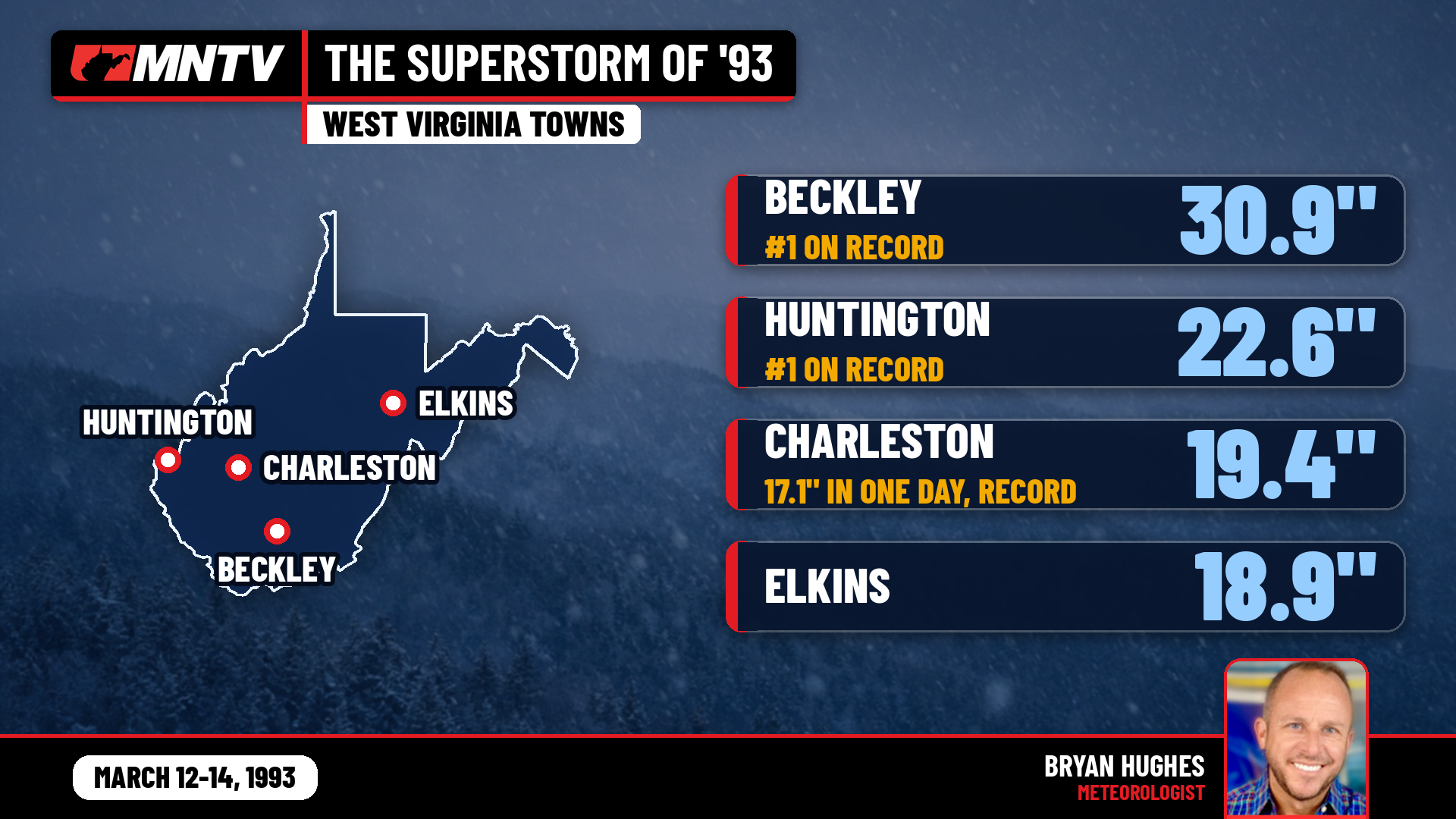 The Storm of the Century: When West Virginia Disappeared Under Feet of Snow
I’ve been forecasting West Virginia weather for 27 years, and there’s one storm folks still bring up at the grocery store, at ballgames, and in my Facebook comments: March 12-14, 1993. You might know it as the…
-
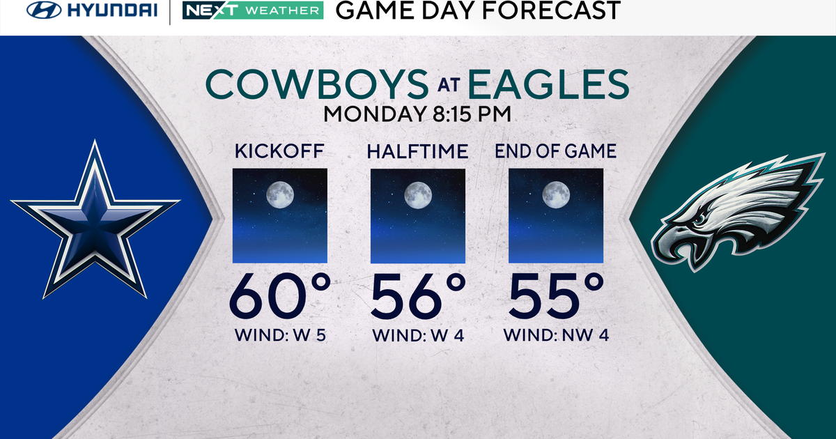 Terrific stretch of October weather continues for Philadelphia Eagles-Dallas Cowboys game Monday
October 25, 2026 / 11:52 PM EDT / CBS Philadelphia It will be a beautiful start to the workweek with plenty of sunshine, light winds and temperatures climbing to around 70 degrees in the Philadelphia region. We're…
-
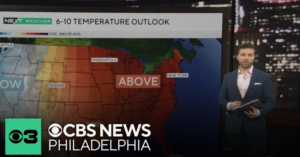 Beautiful stretch of October weather in Philadelphia region
CBS News Philadelphia is a local news organization that is part of CBS News and Stations. Also referred to as KYW-TV and channel 3, CBS News Philadelphia offers local breaking news, weather coverage and investigative…
-
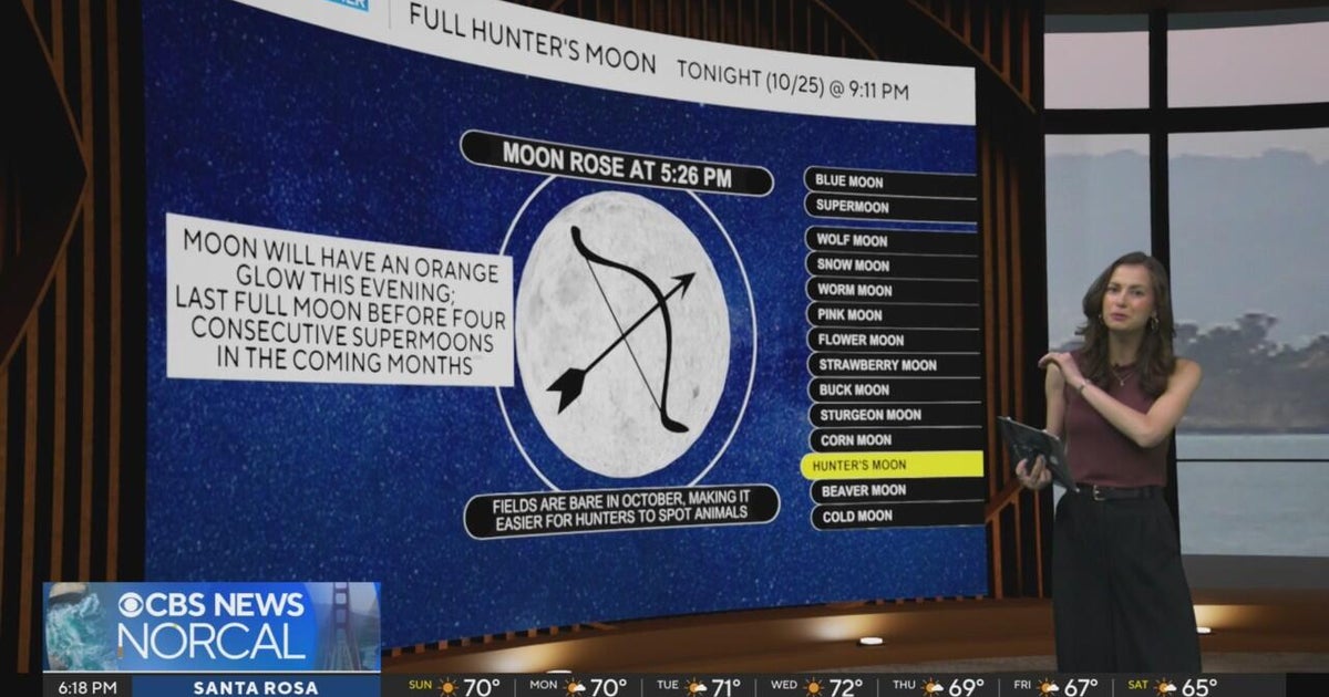 First Alert Weather Sunday evening forecast 10-25-26
CBS News Bay Area Evening Edition Weekend 6pm CBS News Detroit Weekend 6:30pm CBS News Miami 6:30pm CBS Philadelphia at 6:30pm KDKA News Weekend 10pm Your Community Stories From Your Reporters CBS News Texas 5:30pm
-
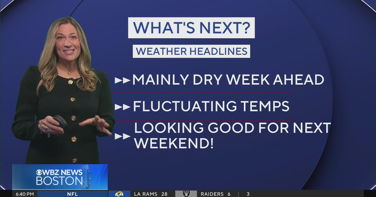 Next Weather: WBZ Evening Update for Oct. 25
CBS News Colorado Weekend 5pm CBS News Detroit Weekend 6:30pm CBS News Miami 6:30pm CBS Philadelphia at 6:30pm KDKA News Weekends 6:30pm CBS News Texas 5:30pm
-
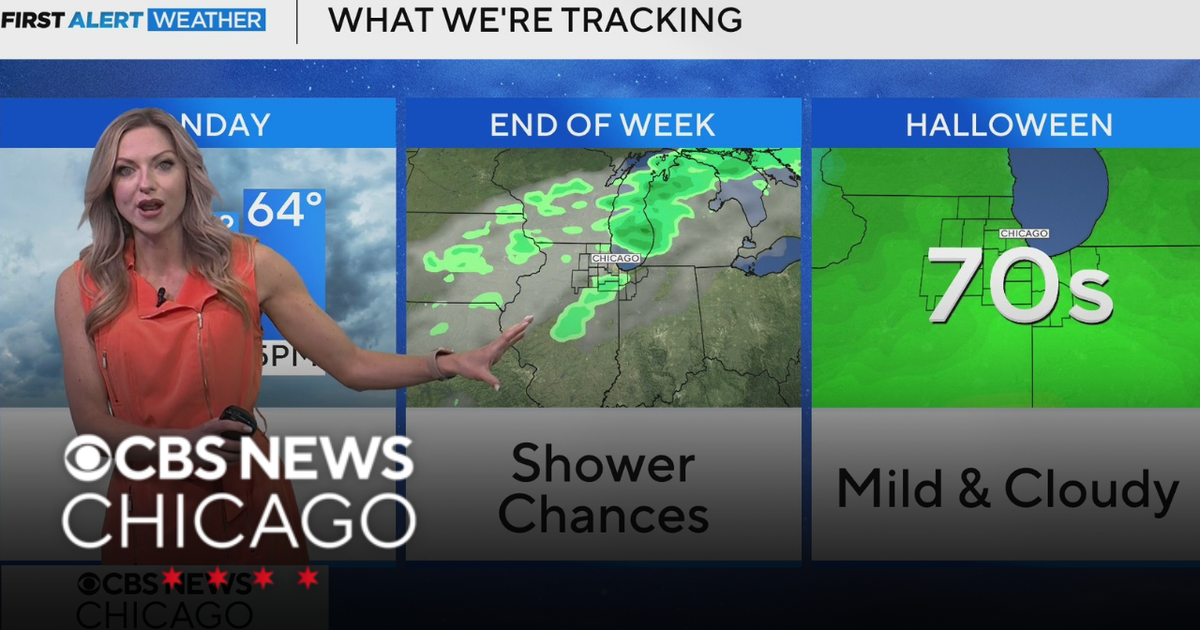 Areas of fog in Chicago Sunday night
CBS News Colorado Weekend 5pm CBS News Detroit Weekend 6:30pm CBS News Miami 6:30pm CBS Philadelphia at 6:30pm KDKA News Weekends 6:30pm CBS News Texas 5:30pm
-
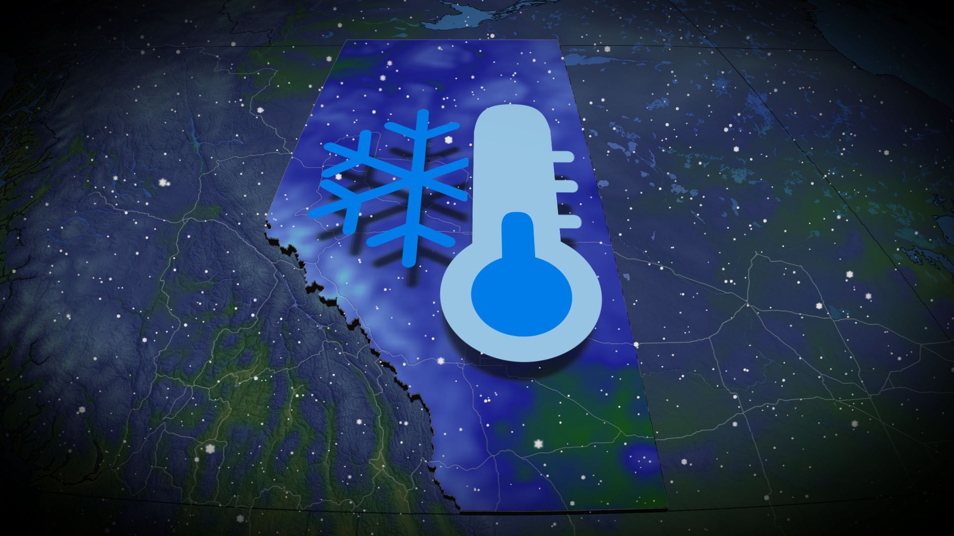 Wintry encore for Alberta as coldest air since April arrives
Prepare for subfreezing high temperatures by the middle of the week The recent burst of wintry weather in Alberta was a taste of the cold air and snow to come heading into the final week of October. Expect the coldest…
-
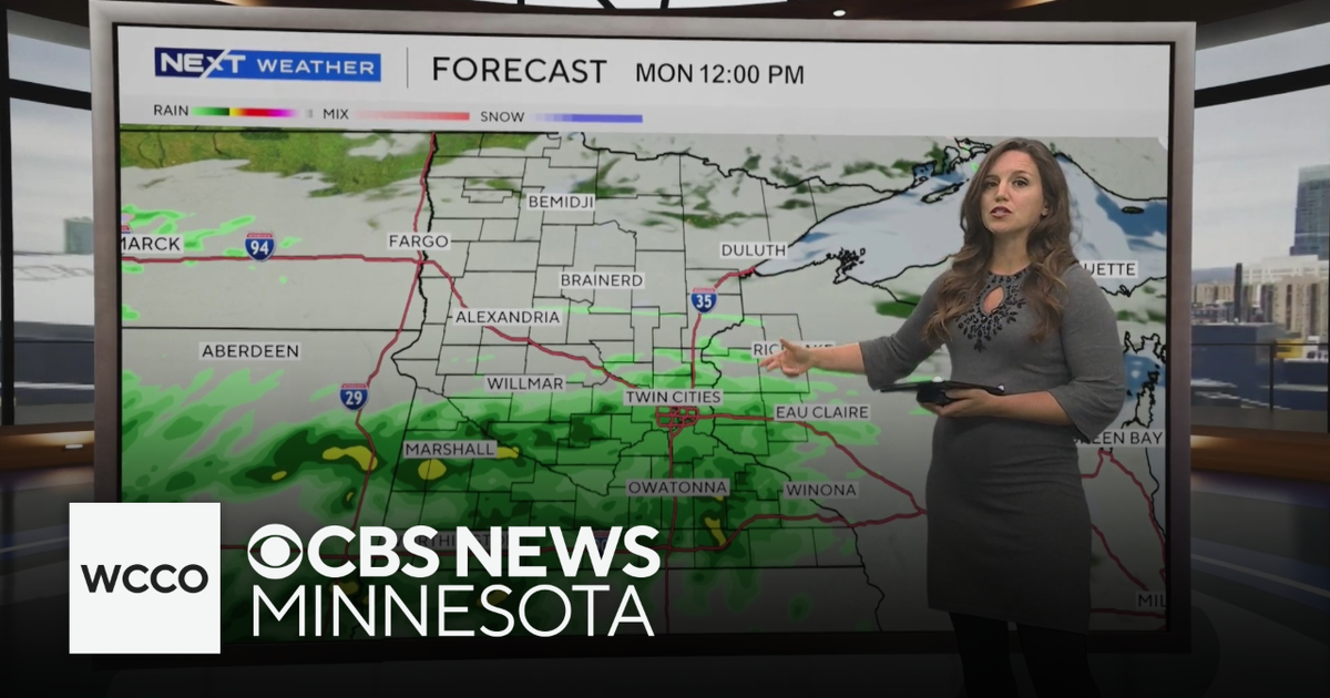 Expect below average temperatures and rain to start the work week | Oct. 25, 2026
CBS News Minnesota is a local news organization that is part of CBS News and Stations. Also referred to as WCCO-TV and channel 4, CBS News Minnesota offers local breaking news, weather coverage and investigative…
-
 Martin's Haven
For more information, please see FAQs. Contains ADMIRALTY ® data: © Crown copyright and database right BBC Weather in association with MeteoGroup, external Copyright © 2026 BBC. The BBC is not ... Right now, the tide in…
-
 Cloudy Sunday with scattered showers as cooler air returns to Minnesota
October 25, 2026 / 12:39 PM CDT / CBS Minnesota A cold front has brought some cooler, more seasonal air to Minnesota. There will be lots of clouds Sunday, keeping highs in the mid-50s. There could be a few showers in…
Air quality
Air quality is satisfactory, and air pollution poses little or no risk.
Parkersburg, WV reporting area · 1 hr ago. Data from AirNow (EPA and its state, local and tribal partners); preliminary and subject to change.
Sun & moon
Almanac
MonthlyParkersburg Area, records since 1926. Normals 1991–2020. Data from NOAA's Regional Climate Centers (ACIS).
Nearby
- Parkersburg 11 km
- Athens 53 km
- Marietta 27 km
- Vienna 17 km
- Belpre 12 km
- Ravenswood 33 km
- Ripley 43 km
- Blennerhassett 14 km
- The Plains 57 km
- Williamstown 25 km
- Devola 33 km
- Middleport 50 km
Forecasters' discussion
From the National Weather Service office in RLX, issued 6 hrs ago
What Has Changed
No significant changes have been made to the forecast for the upcoming work week.
Key Messages
1) Dry weather and morning riverine fog will continue into the upcoming work week, with rain chances holding off until late next weekend.
Discussion
KEY MESSAGE 1...
The 12Z objectively analyzed UA charts observed that the subtropical ridge, which is currently centered over the MS River Valley, has strengthened slightly compared to 24 hours ago, with geopotential heights now at 592 dam at 500 mb. The Omega Block is beginning to collapse due to a well-defined, positively-tilted shortwave trough that is ejecting over the Four Corners region. High temperatures for this afternoon and Monday were manually raised by a few degrees, as observations yesterday were slightly warmer than any of the NWP guidance; and this trend will hold as the subtropical ridge becomes centered over the Deep South by Monday evening. Otherwise, dewpoints were once again lowered to align closer to the drier MOS guidance; and pleasant fall weather will continue throughout the upcoming work week across the entire CWA. A weakening backdoor cold front will also sweep through the region during the day Tuesday and shift winds towards the northeast post-FROPA. The passage of this cold front will be rain-free; however, moistening of the boundary-layer will occur heading into Wednesday as the modified mP airmass trailing the cold front settles into the region. That said, high-level cirroform clouds will advect the region late Monday night, with the deck thickening heading into Wednesday as a remnant shortwave trough ejects over the Corn Belt. Overnight lows by the middle part of the week are forecast to be several degrees warmer compared to what has been observed recently, as the cirrus deck traps outgoing longwave radiation. Prospects for rain may return by late next weekend as the subtropical ridge deamplifies and restores cyclonic flow aloft.
Aviation
VFR conditions can be expected through the period with the exception of some late night early morning dense river valley fog.
FORECAST CONFIDENCE AND ALTERNATE SCENARIOS THROUGH 00Z TUESDAY...
FORECAST CONFIDENCE: High.
ALTERNATE SCENARIOS: Timing and location of fog could vary.
EXPERIMENTAL TABLE OF FLIGHT CATEGORY OBJECTIVELY SHOWS CONSISTENCY OF WFO FORECAST TO AVAILABLE MODEL INFORMATION: H = HIGH: TAF CONSISTENT WITH ALL MODELS OR ALL BUT ONE MODEL. M = MEDIUM: TAF HAS VARYING LEVEL OF CONSISTENCY WITH MODELS. L = LOW: TAF INCONSISTENT WITH ALL MODELS OR ALL BUT ONE MODEL.
UTC 1HRLY 19 20 21 22 23 00 01 02 03 04 05 06 EDT 1HRLY 15 16 17 18 19 20 21 22 23 00 01 02 CRW CONSISTENCY H H H H H H H H H H H H HTS CONSISTENCY H H H H H H H H H H H H BKW CONSISTENCY H H H H H H H H H H H H EKN CONSISTENCY H H H H H H H H H H H H PKB CONSISTENCY H H H H H H H H H H H M CKB CONSISTENCY H H H H H H H H H H H H
Forecasts, observations and alerts in the United States come from the National Weather Service (NOAA); radar from NOAA's Multi-Radar Multi-Sensor system; satellite imagery from NASA's Global Imagery Browse Services (GIBS) and NOAA's GOES satellites; the map from the U.S. Geological Survey's National Map; air quality from AirNow (EPA and its partners); hurricane information from the National Hurricane Center; climate normals and records from NOAA's Regional Climate Centers (ACIS). Forecasts outside the United States and the UV index: MET Norway (CC BY 4.0); observations outside the U.S.: airport reports via NOAA's Aviation Weather Center. Place names: GeoNames (CC BY 4.0). Data are copied on a schedule and may lag the sources; for warnings that affect your safety, follow your local National Weather Service office and emergency officials. Weather news is drawn from the 4Conservative index and reflects what the press published. Terms of use. How to use Weather