Install
McMechen, WV Weather
Current conditions
Observed at Wheeling, Wheeling Ohio County Airport · 1 hr ago
Forecast
10-day-
Thursday Night
Mostly clear, with a low around 42.
-
Friday
Sunny, with a high near 64.
-
Friday Night
Clear, with a low around 38.
National Weather Service forecast updated 3 days ago.
Hourly
Hourly forecast- Now44°
- 6 AM42°
- 7 AM42°
- 8 AM42°
- 9 AM44°
- 10 AM47°
- 11 AM51°
- 12 PM54°
- 1 PM57°
- 2 PM59°
- 3 PM60°
- 4 PM61°
- 5 PM59°
- 6 PM56°
- 7 PM52°
- 8 PM46°
- 9 PM45°
- 10 PM44°
- 11 PM43°
- Sat12 AM42°
- 1 AM42°
- 2 AM41°
- 3 AM40°
- 4 AM39°
10-day forecast
Details- TueOct 20Patchy Fog then Sunny39°69°
- WedOct 21Patchy Fog then Sunny37°68°
- ThuOct 22Patchy Fog then Sunny42°68°
- TodayOct 23Sunny38°64°
- SatOct 24Sunny39°65°
- SunOct 25Sunny43°69°
- MonOct 26Mostly Sunny43°69°
- TueOct 27Cloudy42°62°
- WedOct 28Cloudy40°58°
- ThuOct 29Cloudy46°60°
Days after the National Weather Service's seven are MET Norway's outlook, a computer model with no forecaster's review.
Radar
Full mapWeather news in West Virginia
More weather news-
 Freeze expected tonight in six West Virginia counties before mild, dry week
CHARLESTON, W.Va. — One more frosty night is in store for parts of West Virginia before a mild, dry stretch settles in for the week ahead. The MetroNews forecast calls for a freeze tonight into early Monday in…
- A Long Stretch of Dry and Sunny Weather in West Virginia
WDTV 5 BRIDGEPORT, W.Va (WDTV) - Weather Overview: A Stretch of Sunny Days and Chilly Nights The next 10 days look mainly dry and sunny here in North Central West Virginia (NCWV). For each afternoon, temperatures reach…
-
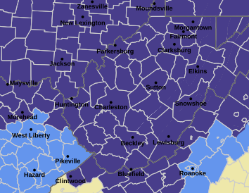 West Virginia under freeze warning for tonight
CHARLESTON, W.Va. — The National Weather has issued a freeze warning for the entire state for overnight Saturday into Sunday. The warning is posted for 1 a.m. to 9 a.m. Sunday. Meteorologists said sub-freezing…
-
 Dangerous Freeze Watch Issued for Maryland, DC, West Virginia and New Jersey as Temperatures Plummet
Freeze Watches are in effect from late Saturday night through Sunday morning across western Maryland, West Virginia and northern New Jersey, with lows in the upper 20s to low 30s possible. A strong cold front moves…
-
 Next Weather: WBZ morning forecast for Oct. 23, 2026
WBZ This Morning 5am CBS News Detroit 5am CBS News Miami 5am CBS News Philadelphia 5am KDKA-TV Morning News 5am
-
 Minnesota sees chances for rain and more seasonable temps soon | Next Weather 10 p.m. Oct. 22, 2026
CBS News Minnesota is a local news organization that is part of CBS News and Stations. Also referred to as WCCO-TV and channel 4, CBS News Minnesota offers local breaking news, weather coverage and investigative…
-
 Slaughden Quay
Tides for Slaughden Quay, East of England - BBC Weather BBC Right now, the tide in Slaughden Quay is Tide tables for the next 7 days For more information, please see FAQs. © Crown copyright and database right
-
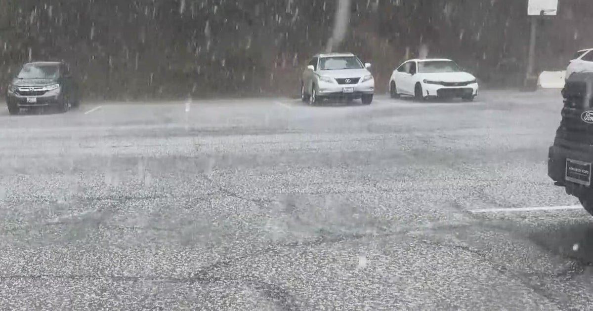 Inland Empire extreme weather for the day included hail in Crestline
October 22, 2026 / 6:05 PM PDT / CBS LA Severe weather, including hail and heavy rain, impacted the Inland Empire, prompting emergency response efforts on Thursday. Intermittent hail, rain, lightning, and wind hit the…
-
 Amber warning in place as Storm Austen hits parts of UK
An amber weather warning has come into force in parts of the UK as Storm Austen brings a swathe of powerful winds and heavy rain on Friday. South West England is forecast to be worst hit by the storm which the Met…
-
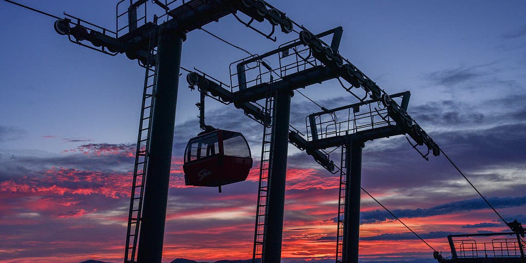 Vermont ski mountains prepare to open as winter weather looms
A ski resort in Colorado unveils preserved snow from last season to provide a rare opportunity for thousands, skiing in October. Chris Miller, the sustainability senior VP at Aspen One, joins FOX Weather to talk about…
Air quality
Air quality is satisfactory, and air pollution poses little or no risk.
Moundsville, WV reporting area · 1 hr ago. Data from AirNow (EPA and its state, local and tribal partners); preliminary and subject to change.
Sun & moon
Almanac
MonthlyWheeling Area, records since 1881. Normals 1991–2020. Data from NOAA's Regional Climate Centers (ACIS).
Nearby
- Wheeling 8 km
- Weirton Heights 50 km
- Weirton 49 km
- Steubenville 43 km
- Washington 46 km
- Canonsburg 55 km
- Moundsville 8 km
- Martins Ferry 12 km
- New Martinsville 40 km
- Saint Clairsville 18 km
- Toronto 54 km
- Bellaire 3 km
Forecasters' discussion
From the National Weather Service office in PBZ, issued 4 hrs ago
What Has Changed
Updated for the 06z TAF issuance.
Key Messages
1) Quiet, dry weather continues through late next week
Discussion
KEY MESSAGE 1... Broad surface high pressure will maintain dry and mostly sunny conditions through much next week. The potential for frost and freeze products remains low over the next few days as a flux of low-level moisture returns to the region; overnight lows will range from the low-40s to upper-30s.
The probability of precipitation remains low (below 10%) through next Thursday with little to no change in our large-scale weather pattern.
Aviation
High confidence VFR conditions continue through the weekend. The only change from previous days will be a scattered deck near 3-4kft. This should inhibit more widespread river valley fog, but patchy river valley fog may still develop with breaks. Have kept TEMPO BR for FKL.
Light NE'ly wind is expected after sunrise with most clear skies.
Outlook... Outside of any morning river valley fog, VFR is highly likely through Tuesday under high pressure.
Forecasts, observations and alerts in the United States come from the National Weather Service (NOAA); radar from NOAA's Multi-Radar Multi-Sensor system; satellite imagery from NASA's Global Imagery Browse Services (GIBS) and NOAA's GOES satellites; the map from the U.S. Geological Survey's National Map; air quality from AirNow (EPA and its partners); hurricane information from the National Hurricane Center; climate normals and records from NOAA's Regional Climate Centers (ACIS). Forecasts outside the United States and the UV index: MET Norway (CC BY 4.0); observations outside the U.S.: airport reports via NOAA's Aviation Weather Center. Place names: GeoNames (CC BY 4.0). Data are copied on a schedule and may lag the sources; for warnings that affect your safety, follow your local National Weather Service office and emergency officials. Weather news is drawn from the 4Conservative index and reflects what the press published. Terms of use.