Install
Ceredo, WV Weather
Current conditions
Forecast for this hour (no station report in the last two hours)
Forecast
10-day-
Wednesday Night
Patchy fog after 4am. Mostly clear, with a low around 40. North wind around 2 mph.
-
Thursday
Patchy fog before 10am. Sunny, with a high near 70. North wind 0 to 5 mph.
-
Thursday Night
Mostly clear, with a low around 43.
National Weather Service forecast updated 1 day ago.
Hourly
Hourly forecast- Now66°
- 7 PM62°
- 8 PM59°
- 9 PM53°
- 10 PM50°
- 11 PM48°
- Thu12 AM47°
- 1 AM46°
- 2 AM45°
- 3 AM44°
- 4 AM43°
- 5 AM43°
- 6 AM41°
- 7 AM40°
- 8 AM41°
- 9 AM45°
- 10 AM51°
- 11 AM56°
- 12 PM60°
- 1 PM63°
- 2 PM65°
- 3 PM67°
- 4 PM68°
- 5 PM68°
Daily forecast
Details- TueOct 20Areas Of Fog then Sunny41°71°
- TodayOct 21Areas Of Fog then Sunny40°71°
- ThuOct 22Patchy Fog then Sunny43°70°
- FriOct 23Sunny42°68°
- SatOct 24Sunny42°70°
- SunOct 25Sunny45°72°
- MonOct 26Mostly Sunny44°72°
- TueOct 27Cloudy47°70°
- WedOct 28Cloudy46°61°
Days after the National Weather Service's seven are MET Norway's outlook, a computer model with no forecaster's review.
Radar
Full mapWeather news in West Virginia
More weather news-
 Freeze expected tonight in six West Virginia counties before mild, dry week
CHARLESTON, W.Va. — One more frosty night is in store for parts of West Virginia before a mild, dry stretch settles in for the week ahead. The MetroNews forecast calls for a freeze tonight into early Monday in…
- A Long Stretch of Dry and Sunny Weather in West Virginia
WDTV 5 BRIDGEPORT, W.Va (WDTV) - Weather Overview: A Stretch of Sunny Days and Chilly Nights The next 10 days look mainly dry and sunny here in North Central West Virginia (NCWV). For each afternoon, temperatures reach…
-
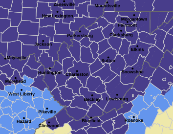 West Virginia under freeze warning for tonight
CHARLESTON, W.Va. — The National Weather has issued a freeze warning for the entire state for overnight Saturday into Sunday. The warning is posted for 1 a.m. to 9 a.m. Sunday. Meteorologists said sub-freezing…
-
 Dangerous Freeze Watch Issued for Maryland, DC, West Virginia and New Jersey as Temperatures Plummet
Freeze Watches are in effect from late Saturday night through Sunday morning across western Maryland, West Virginia and northern New Jersey, with lows in the upper 20s to low 30s possible. A strong cold front moves…
-
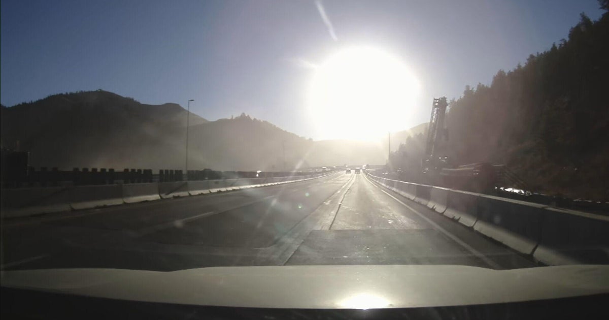 Bright sun glare prompts I-70 closures in Colorado's mountains, from sunrise to mid-morning
October 21, 2026 / 9:43 AM MDT / CBS Colorado As the days get shorter with winter approaching, drivers in Colorado traveling on I-70 will start running into a new issue: sun glare while they are driving. The Colorado…
-
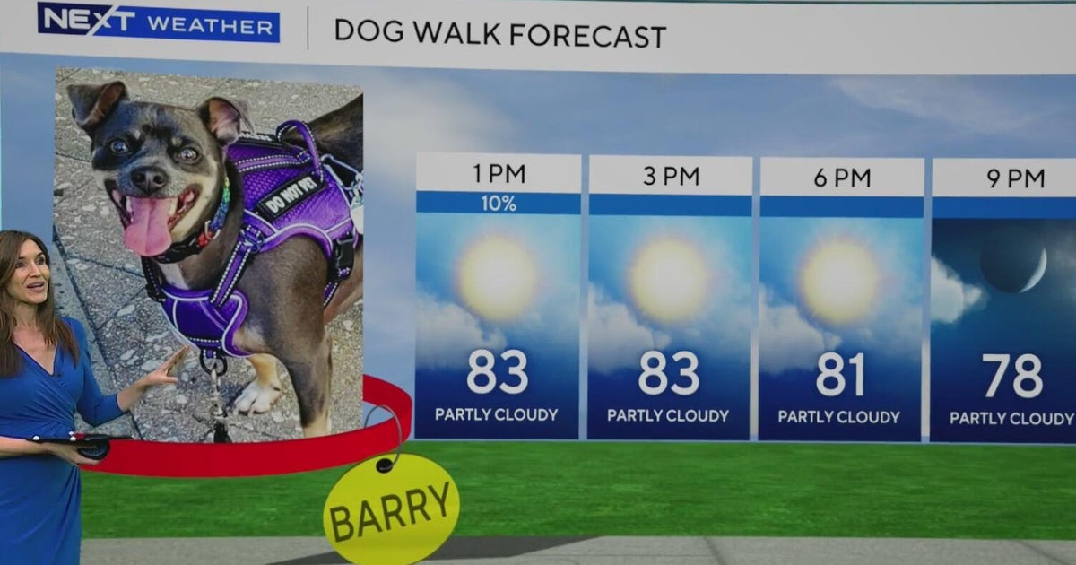 South Florida stays beautiful, breezy on Wednesday before heavy rain, king tides bring flood risk
The rest of Wednesday is expected to be beautiful, breezy and mainly dry. However, big changes are on the way that will be leading to a NEXT Weather Alert issues starting Sunday. CBS News Miami NEXT Weather…
-
 Sunshine continues for days across Maryland
CBS News Sunshine continues for days across Maryland Around Town: Flock to the Ivy Hotel to enjoy their purple pride packages Goetze Candy Company has a new beer collab with Monument City Brewing called "Bulls-eye" The…
-
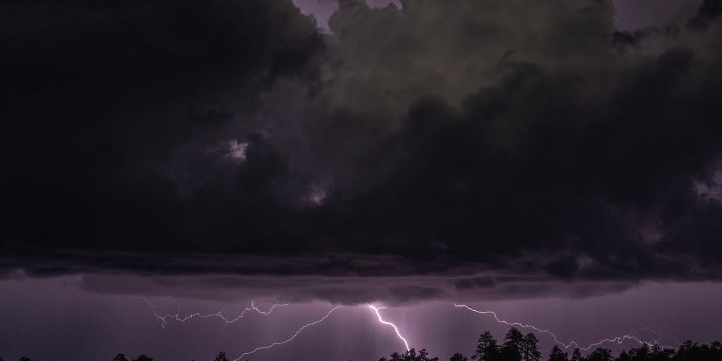 Rare severe storm threat targets Southern California while Arizona faces potential egg-sized hail, tornadoes
FLAGSTAFF, Ariz. — Severe thunderstorms blasted parts of Arizona early Wednesday ahead of a rare severe weather threat that will intensify through the day and into the evening. Parts of the state, including Flagstaff…
-
 Eastern Pacific blasts past seasonal hurricane records, thanks to El Niño
The Eastern Pacific basin has broken several hurricane season records already, while the Atlantic remains quiet. Published Oct 21, 2026 10:33 AM EDT | Updated Oct 21, 2026 10:33 AM EDT From coffee and chocolate to…
-
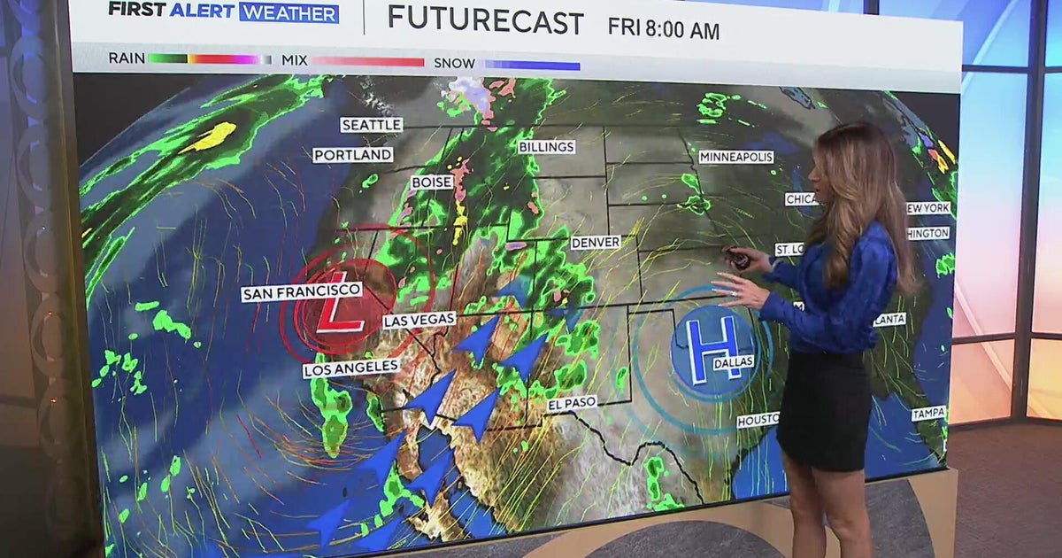 Southwest Colorado braces for heavy rain while dry and warm weather continue for Denver
CBS News Southwest Colorado braces for heavy rain while dry and warm weather continue for Denver I-25 expansion project in Northern Colorado nears completion Ugandan priest released from ICE custody after more than a…
Air quality
Air quality is satisfactory, and air pollution poses little or no risk.
Ashland, KY reporting area · 1 hr ago. Data from AirNow (EPA and its state, local and tribal partners); preliminary and subject to change.
Sun & moon
Almanac
MonthlyHuntington Area, records since 1891. Normals 1991–2020. Data from NOAA's Regional Climate Centers (ACIS).
Nearby
- Meads 13 km
- Huntington 10 km
- Ashland 11 km
- Portsmouth 53 km
- Teays Valley 55 km
- Ironton 19 km
- Flatwoods 20 km
- Pea Ridge 21 km
- Hurricane 47 km
- Wheelersburg 45 km
- Westwood 14 km
- Barboursville 23 km
Forecasters' discussion
From the National Weather Service office in RLX, issued 5 hrs ago
What Has Changed
Frost advisory issued for parts of SE Ohio and North Central WV for tonight.
Key Messages
1) Prolonged dry stretch of weather continues across the area.
Discussion
KEY MESSAGE 1...
High pressure will continue to provide dry conditions across the area. Another chilly night on tap with dry air mass in place and light winds. Issued a frost advisory for locations most susceptible to frost late tonight, i.e. SE Ohio and north central WV. Outside of the advisory patchy frost is still possible in sheltered valleys.
Fog can also be expected again most mornings this week in favored river valleys.
With the dry air mass in place, afternoon RH values will continue to drop into the 30 percent range for much of the area. Winds will however remain light, owing for fire danger to remain relatively low overall.
Aviation
VFR conditions with light surface winds through 06-08Z when patchy LIFR/VLIFR river valley fog is expected again. Fog will generally dissipate by 14Z with a return of VFR.
FORECAST CONFIDENCE AND ALTERNATE SCENARIOS THROUGH 18Z THURSDAY...
FORECAST CONFIDENCE: Medium with fog, otherwise high.
ALTERNATE SCENARIOS: Restrictions with fog tonight may vary from the forecast.
EXPERIMENTAL TABLE OF FLIGHT CATEGORY OBJECTIVELY SHOWS CONSISTENCY OF WFO FORECAST TO AVAILABLE MODEL INFORMATION: H = HIGH: TAF CONSISTENT WITH ALL MODELS OR ALL BUT ONE MODEL. M = MEDIUM: TAF HAS VARYING LEVEL OF CONSISTENCY WITH MODELS. L = LOW: TAF INCONSISTENT WITH ALL MODELS OR ALL BUT ONE MODEL.
UTC 1HRLY 12 13 14 15 16 17 18 19 20 21 22 23 EDT 1HRLY 08 09 10 11 12 13 14 15 16 17 18 19 CRW CONSISTENCY L L H H H H H H H H H H HTS CONSISTENCY L L H H H H H H H H H H BKW CONSISTENCY H H H H H H H H H H H H EKN CONSISTENCY L L H H H H H H H H H H PKB CONSISTENCY L L H H H H H H H H H H CKB CONSISTENCY L L H H H H H H H H H H
Forecasts, observations and alerts in the United States come from the National Weather Service (NOAA); radar from NOAA's Multi-Radar Multi-Sensor system; satellite imagery from NASA's Global Imagery Browse Services (GIBS) and NOAA's GOES satellites; the map from the U.S. Geological Survey's National Map; air quality from AirNow (EPA and its partners); hurricane information from the National Hurricane Center; climate normals and records from NOAA's Regional Climate Centers (ACIS). Forecasts outside the United States and the UV index: MET Norway (CC BY 4.0); observations outside the U.S.: airport reports via NOAA's Aviation Weather Center. Place names: GeoNames (CC BY 4.0). Data are copied on a schedule and may lag the sources; for warnings that affect your safety, follow your local National Weather Service office and emergency officials. Weather news is drawn from the 4Conservative index and reflects what the press published. Terms of use.