Install
Somers, WI Weather
Current conditions
Observed at Kenosha, Kenosha Regional Airport · 50 min ago
Forecast
10-day-
Thursday Night
Areas of fog between 10pm and 2am. Partly cloudy, with a low around 48. East wind 0 to 5 mph.
-
Friday
Mostly sunny. High near 67, with temperatures falling to around 62 in the afternoon. Southeast wind 0 to 10 mph.
-
Friday Night
Partly cloudy, with a low around 50. Southeast wind around 5 mph.
National Weather Service forecast updated 1 day ago.
Hourly
Hourly forecast- Now52°
- 1 AM52°
- 2 AM51°
- 3 AM51°
- 4 AM51°
- 5 AM50°
- 6 AM49°
- 7 AM50°
- 8 AM53°
- 9 AM57°
- 10 AM61°
- 11 AM64°
- 12 PM65°
- 1 PM66°
- 2 PM67°
- 3 PM66°
- 4 PM65°
- 5 PM62°
- 6 PM59°
- 7 PM57°
- 8 PM56°
- 9 PM55°
- 10 PM55°
- 11 PM55°
10-day forecast
Details- WedOct 21Sunny48°70°
- ThuOct 22Patchy Fog then Sunny48°67°
- TodayOct 23Mostly Sunny50°67°
- SatOct 24Mostly Sunny51°68°
- SunOct 25Partly Sunny49°69°
- MonOct 26Mostly Cloudy25%44°61°
- TueOct 27Chance Rain Showers25%42°57°
- WedOct 28Cloudy0.52 in49°62°
- ThuOct 29Rain0.66 in40°59°
- FriOct 30Sunny38°55°
Days after the National Weather Service's seven are MET Norway's outlook, a computer model with no forecaster's review.
Radar
Full mapWeather news near Somers
More weather news-
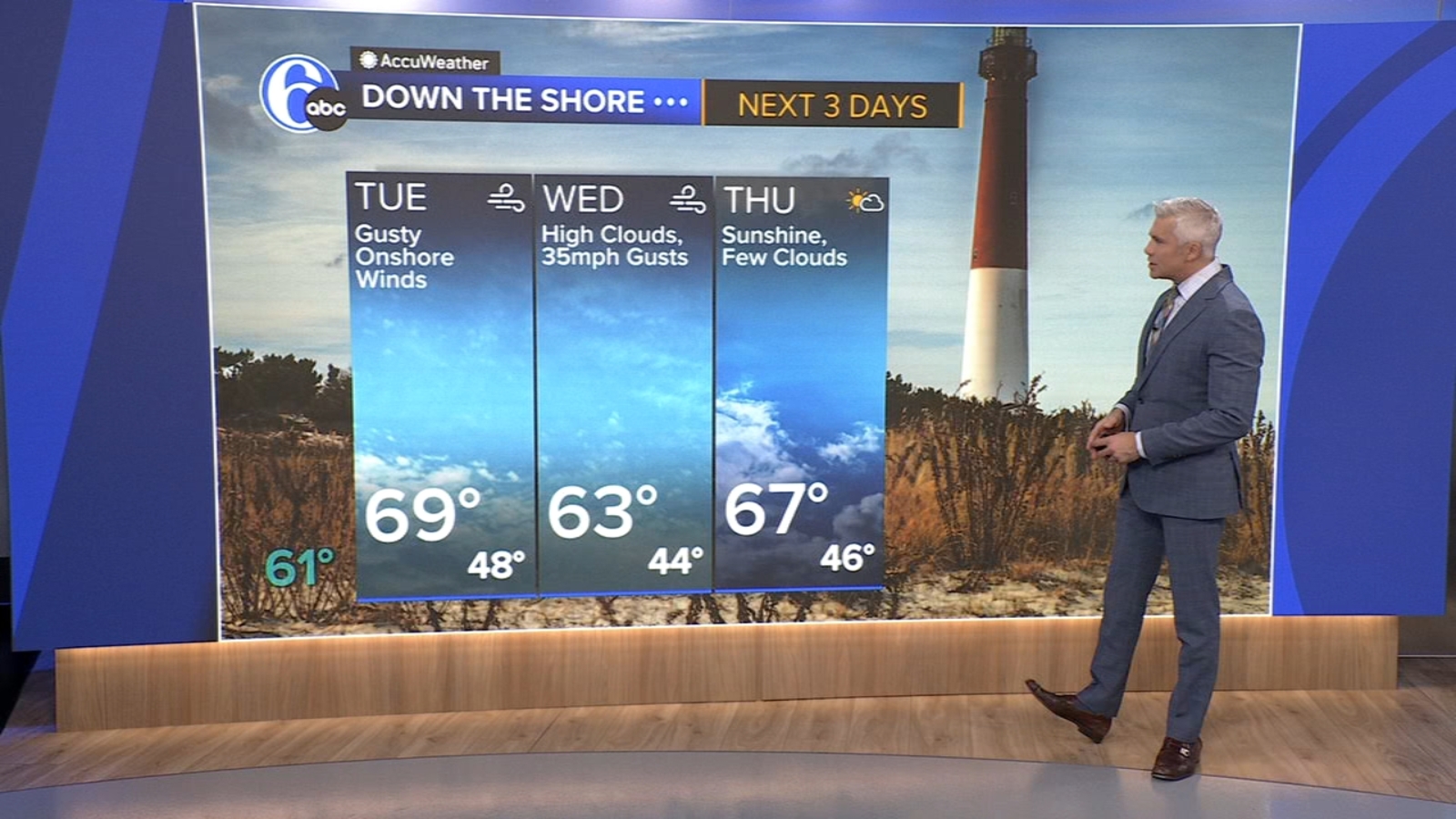 AccuWeather: Quiet inland this week, some coastal concerns
PHILADELPHIA (WPVI) -- While we are enjoying a beautiful week inland, the coast will be experiencing erosion and tidal issues due to a storm offshore. TUESDAY: Mostly sunny and warmer. High of 71. As a coastal storm…
-
 Tracking some patchy fog early Tuesday
EXTENDED FORECAST: Continuing into this upcoming week, we'll see warming temperatures getting close to 70 on Wednesday, Thursday, and Friday. Our pattern stays quiet with our lone slight rain chance being with a passing…
-
 Gradual cooldown starts Tuesday ahead of some rain potential midweek
THOUSAND PALMS, Calif. (KESQ) – It's been a beautiful day in the Coachella Valley as temperatures have stayed near seasonal! We've warmed a bit more than the weekend, but we're close to average. A change is coming…
-
 UAE weather tomorrow: More rains expected in some areas; foggy conditions likely
Mon, Oct 19, 2026 | Jumada al-Awwal 7, 1448 | Fajr 05:02|DXB 30.9°C Residents across the UAE can expect more rain on Tuesday, October 20, as convective clouds develop over eastern areas and extend to some inland and…
-
 First Alert Weather: Another chilly start with some frost for some
For the current Air Quality Index, click: here. Today, 10/19/26: Mostly sunny. High: 63 inland, 62 shore. Tonight: Partly cloudy, not “as” cold. Low: 40. Tuesday: Mostly sunny. Breezy. High: 66 inland, 65 shore…
-
 Some frost possible tonight ahead of a sunny week
DAYTON — Good evening to all of you this Sunday. Meteorologist Nick Dunn here with you on what has been a very nice day after frost this morning. As expected, we rebounded nicely into the lower and even middle 60s. A…
-
 FIRST ALERT: Some Sunday burn restrictions, quiet week ahead
MARQUETTE, Mich. (WLUC) - Sunday has burn restrictions for Marquette County and some others due to high winds and dry fuels on the ground. Winds subside tomorrow to begin a very quiet pattern with limited rain chances…
-
 First Alert Weather: A quiet Sunday night may lead to a frosty Monday morning for some
WHEC.com First Alert Weather: A quiet Sunday night may lead to a frosty Monday morning for some ROCHESTER, N.Y. – A Frost Advisory is in effect for Monroe, Wayne and northern Cayuga tonight through 9am Monday morning…
-
 Weather for the next 5 days, rain expected in some areas in Kosovo on Thursday and Friday - Gazeta Express
Kosovo will experience variable weather during the period October 19–23, with sun and scattered clouds, according to the forecast of the Kosovo Hydrometeorological Institute. Rainfall is expected on Thursday and Friday…
-
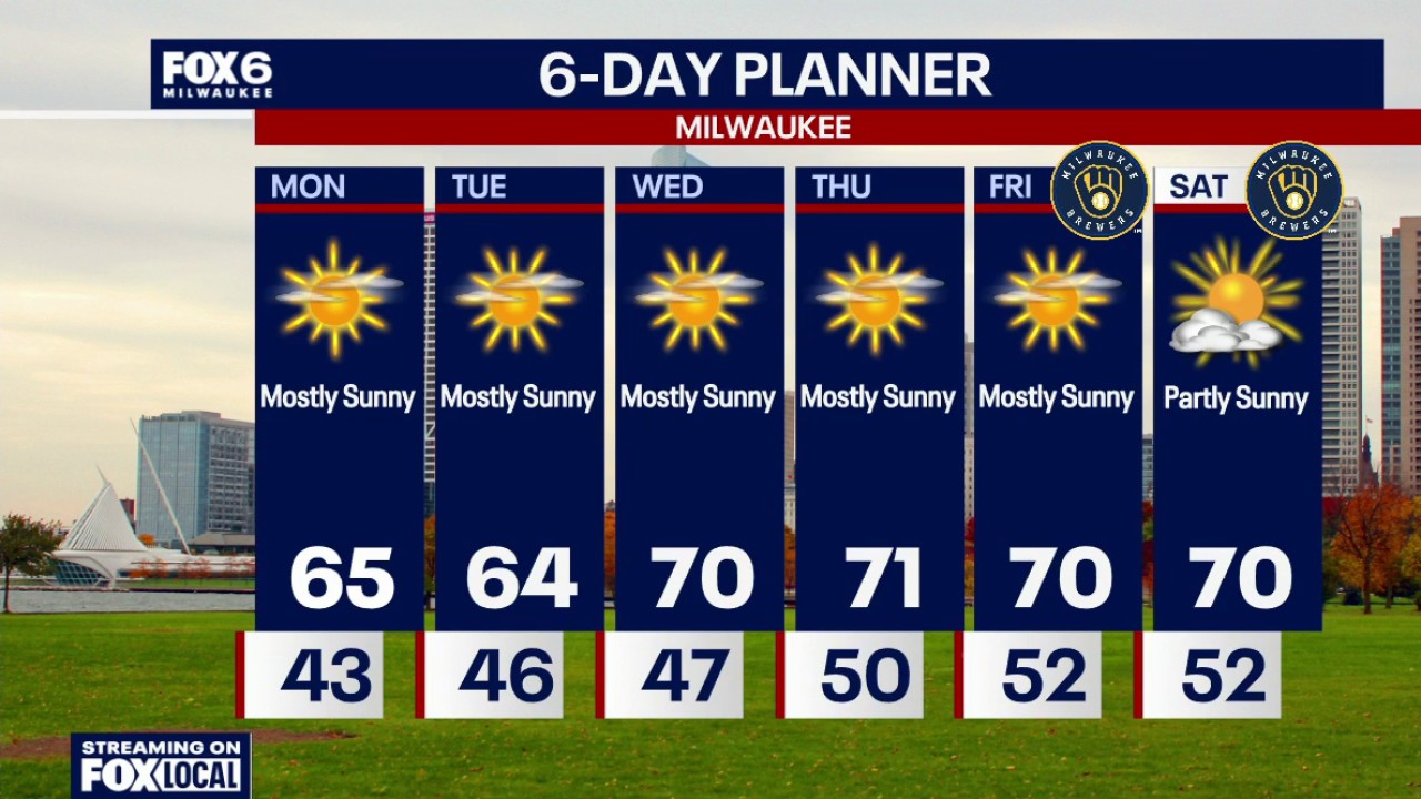 Milwaukee weather: Sunny this week, 70s return Wednesday
FOX6 News Milwaukee
Air quality
Acceptable. Unusually sensitive people should consider limiting prolonged outdoor exertion.
Forecast
- FriModerate
- SatModerate
- SunModerate
Kenosha-Racine Lakeside, WI reporting area · 1 hr ago. Data from AirNow (EPA and its state, local and tribal partners); preliminary and subject to change.
Sun & moon
Almanac
MonthlyMilwaukee Area, records since 1871. Normals 1991–2020. Data from NOAA's Regional Climate Centers (ACIS).
Nearby
- Milwaukee 44 km
- Kenosha 10 km
- Waukegan 31 km
- Racine 14 km
- Waukesha 49 km
- Palatine 60 km
- West Allis 43 km
- Wauwatosa 46 km
- Buffalo Grove 55 km
- Crystal Lake 55 km
- New Berlin 41 km
- Wheeling 56 km
Forecasters' discussion
From the National Weather Service office in MKX, issued 34 min ago
Key Messages
- Low clouds and areas of fog will continue tonight into Friday morning.
- Above normal temperatures and dry conditions will continue into the weekend.
- Temperatures trending cooler for early next week with northeast winds. There are some chances (20 to 30 percent) for showers for the middle to later portions of next week.
Short Term
Issued 1151 PM CDT Thu Oct 22 2026
Tonight through Saturday:
Areas of fog will likely continue in the east into Friday morning and will be dense at times. The current Dense Fog Advisory runs until 10 am Friday and may need to be expanded a bit to the north and south based on latest webcams and observations. Latest models show that the bulk of the fog and low clouds should dissipate by mid-morning tomorrow, but wouldn't be surprised to see these conditions hang around in a few spots through late morning given the light winds. Southerly winds are expected to pick up a bit by the afternoon on the back side of high pressure, which should help to get rid of any lingering fog.
Temperatures will likely be slow to warm in the east tomorrow given the lingering clouds/fog, but there should be enough sunshine in the afternoon for highs back up in the upper 60s to near 70. Highs in the 71-74 range area likely in the west given more sunshine.
Southerly winds will persist Friday night into Saturday, as the high to the east isn't expected to budge. Though a fair amount of high clouds are likely Saturday, enough filtered sunshine is expected for highs around 70 again given the continued warm southerly low level flow.
DDV
Long Term
Issued 1151 PM CDT Thu Oct 22 2026
Sunday through Thursday:
Low pressure passing by well to the northeast on Sunday will drag a cold front through southern Wisconsin by the afternoon and/or evening hours. There should be enough time ahead of the front for southerly winds through at least the first half of the day, so another mild day is expected. Winds will shift to northerly behind the front later in the day, with cooler conditions then expected on Monday. Not expecting much moisture as this system moves through, so kept the dry forecast for Sunday and Monday.
Temps will remain cooler Tuesday, though likely still near or a couple degrees above normal for late October. A shortwave will lift through the region Tuesday into Tuesday night, though the main forcing and moisture is likely to remain north of the forecast area per latest models. Only have 10-20 percent chance for rain in the northwest as this system slides by to the north.
DDV
Aviation
Issued 1151 PM CDT Thu Oct 22 2026
Areas of fog will likely continue in the east into Friday morning and will be dense at times. Latest models show that the bulk of the fog and low clouds should dissipate by mid-morning tomorrow, but wouldn't be surprised to see these conditions hang around in a few spots through late morning given the light winds. Southerly winds are expected to pick up a bit by the afternoon on the back side of high pressure, which should help to get rid of any lingering fog. VFR conditions are then expected Friday afternoon into Friday night.
DDV
Forecasts, observations and alerts in the United States come from the National Weather Service (NOAA); radar from NOAA's Multi-Radar Multi-Sensor system; satellite imagery from NASA's Global Imagery Browse Services (GIBS) and NOAA's GOES satellites; the map from the U.S. Geological Survey's National Map; air quality from AirNow (EPA and its partners); hurricane information from the National Hurricane Center; climate normals and records from NOAA's Regional Climate Centers (ACIS). Forecasts outside the United States and the UV index: MET Norway (CC BY 4.0); observations outside the U.S.: airport reports via NOAA's Aviation Weather Center. Place names: GeoNames (CC BY 4.0). Data are copied on a schedule and may lag the sources; for warnings that affect your safety, follow your local National Weather Service office and emergency officials. Weather news is drawn from the 4Conservative index and reflects what the press published. Terms of use.